Back in the U. S. A. in Skagway, Alaska.
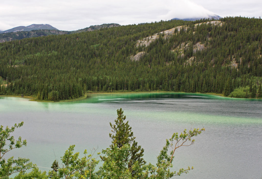
Beautiful Emerald Lake sparkled like a gem in the morning sun.
July 27, 2017
At 7 a.m., we boarded our coach for a three-hour trip to Fraser, British Columbia. Our travels started early because we had to be in Fraser before 11 a.m. to catch the White Pass and Yukon Route train for Skagway, Alaska. As we set off down the Klondike highway we were greeted by a misty, cool, windy morning.
Thirty-six miles down the road we stopped by beautiful Emerald Lake. The turquoise lake, colored by light reflecting off deposits of clay and calcium carbonate, sparkled like a gem in the morning sun. The high concentration of calcium carbonate in the water came from limestone gravel eroded from nearby mountains and deposited 14,000 years ago by the glaciers of the last ice age.
Back on the bus, we motored down the road until we came to another wonder of nature, the Carcross Desert. Yes, the Yukon is home to the smallest desert in the world, less than one square mile of rolling dunes. The desert is the remains of the sandy bottom of a glacial lake left after the last ice age. Dry climate and strong wind conditions created the sand dunes and allows little vegetation to grow. Pretty amazing!
Just past the desert we arrived in Carcross, a charming lakeshore village of 450 residents and home to the Carcross/Tagish First Nation. Carcross, the shortened form of its original name Caribou Crossing, began in 1896 during the Klondike Gold Rush. At the time, Caribou Crossing was a popular stopping place for prospectors going to and from the gold fields of Dawson City. Upon the completion of the White Pass and Yukon railway in 1900, Carcross became a major transportation center until the railroad shut down in 1982. In 1988 the railroad reinvented itself as a tourist attraction. Today tourism drives the local economy.
After our twenty-minute rest stop in Carcross, we continued down the road fifteen miles where we crossed over into the province of British Columbia. We were now close to the town of Fraser, where we would board a train for our two-hour trip to Skagway. When we arrived at Fraser, also a Canadian customs checkpoint, we were allowed to go through and cross the border into Alaska so we could stop for pictures at the “Welcome to Alaska “sign. Then we turned around and proceeded back into Canada. On our way back to Fraser we stopped for a bathroom break at Outhouse Hill Pullout, a parking lot with wonderful scenic views and two outhouses.
The mist-covered area showed a highly twisted landscape called the Tormented Valley. The valley contained large areas having an almost “lunar” appearance, making this one of the most unique eco-systems in North America. Within this stark landscape are geological formations made by the intrusion of molten magma. I was struck by the barren beauty of the harsh landscape that was covered with gray rock, bright green moss, yellow lichen, dwarfed conifers and tiny lakes.
When we arrived back in Fraser we went through Canadian exit customs and then at 11 a.m. boarded the White Pass & Yukon Route Railroad. In its heyday, the railroad’s original purpose was to transport ore and supplies from Skagway to Whitehorse. Today the three-foot wide narrow-gauge railroad runs sixty-seven miles from Carcross, Yukon to Skagway, Alaska and provides popular scenic excursions for tourists.
As we waited for our two-hour ride to begin we admired the fully refurbished train. Pulled by a restored diesel locomotive, the train was of vintage design with large picture windows, padded bench seats and backs, an outside viewing platform, a lavatory and a wood stove in each car. It was a cold, blustery day so we were happy to be near the wood stove.
All Aboard! At 11:20 a.m. our 28-mile journey began south through the Tormented Valley. Seven miles later, after climbing a 3.8% grade (the steepest on the line) we arrived at White Pass Summit (elevation 2,885 feet). We were at the official border between the United States and Canada. There was a display of five flags representing Canada, the United States, Alaska, British Columbia and the Yukon Territory. As we started down the pass the mountain and stream views were incredible.
During the ride we had commentary by our trip guide on our surroundings, the construction of the railroad and stories of the Gold Rush. Rodge and I took turns going to the outdoor viewing platform to take pictures. The terrain, blanketed in mist, was still waiting for the warm presence of the noonday sun. As the mist started lifting, we experienced breathtaking views. Rushing streams, splashing over multi-shaped rocks, flowed downhill with endless energy. It was a glorious time to be riding on the WP&YR Railroad.
At mile 18, we came to our first tunnel. In 1969 the 675-foot tunnel was driven through the mountain so that a new route could be built to bypass an old cantilever bridge. A new bridge was constructed to replace the old existing bridge. With heavier trains carrying ore from the Yukon to Skagway, a stronger bridge was needed to carry the extra load. When we emerged from the tunnel we could see the 215-foot-long old bridge still standing looking tired and worn. It had been constructed in 1901 and at the time it was the tallest cantilever bridge in the world. Two miles later we went through Tunnel Mountain and over a wooden trestle bridge built during the original construction of the railroad in 1900.
As the train continued to drop in elevation we started shadowing the Skagway River. Panoramic views of the snow covered Chilkat Range could be seen in the distance. Along the way, the train made a stop to pick up a group of hikers. Our trip was slowly coming to an end. As we rolled into Skagway, U.S. Customs inspectors came through the train to check our passports. I tried not to look too shady and flashed a wide mouth smile. We thoroughly enjoyed our ride on the White Pass & Yukon Route Railroad.
Later,
Kathy
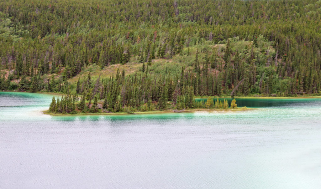
Emerald Lake was colored by light reflecting off deposits of calcium carbonate.
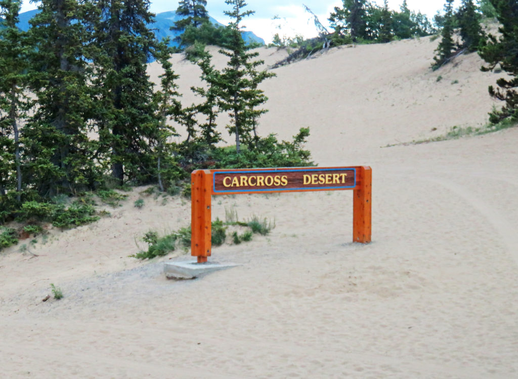
Carcross Desert, the smallest desert in the world.
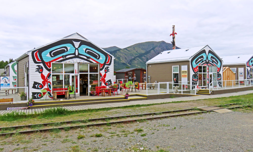
The charming lakeshore village of Carcross.
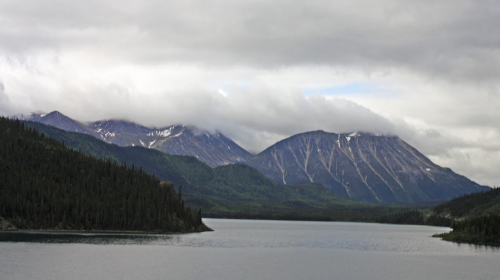
Mountain scenery on the way to Fraser, B.C.
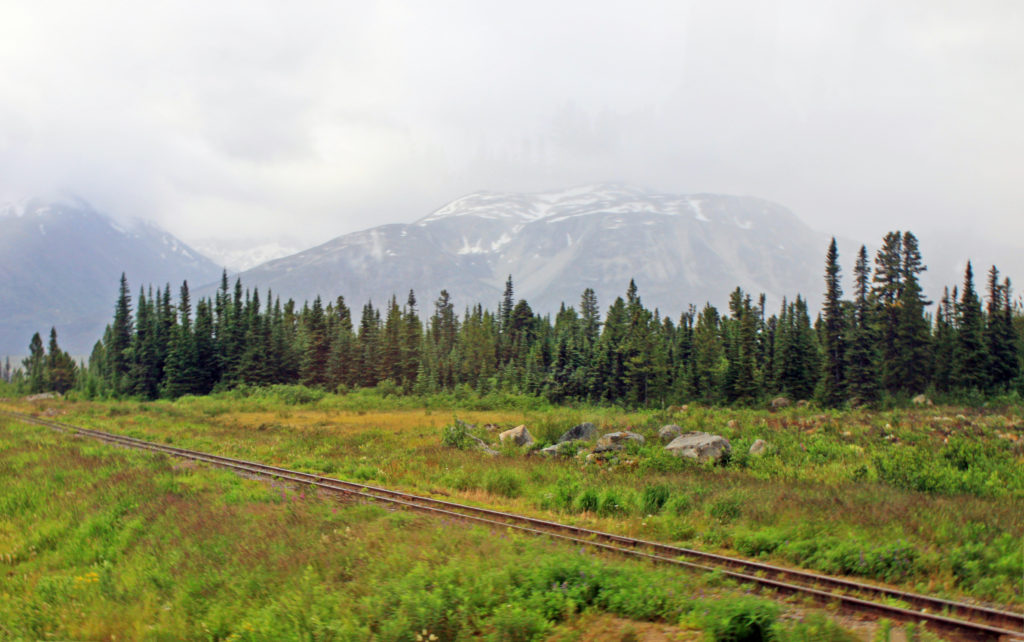
Picturesque scenery on the way to Fraser, B.C.
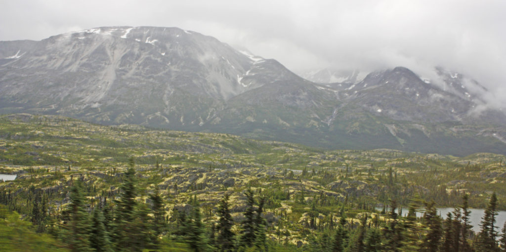
The stark landscape of the Tormented Valley.
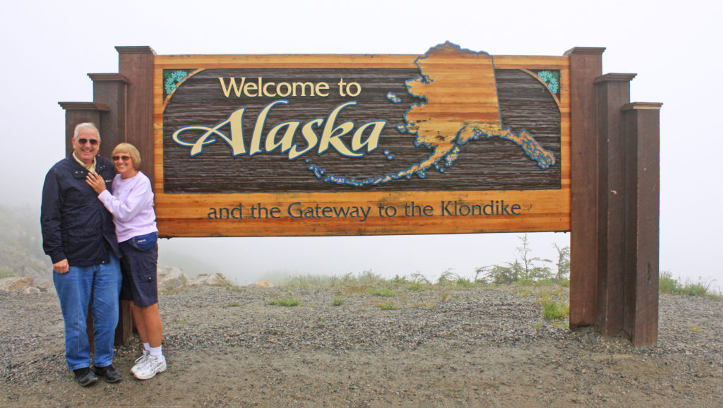
Rodge and I pose by the “Welcome to Alaska” sign.
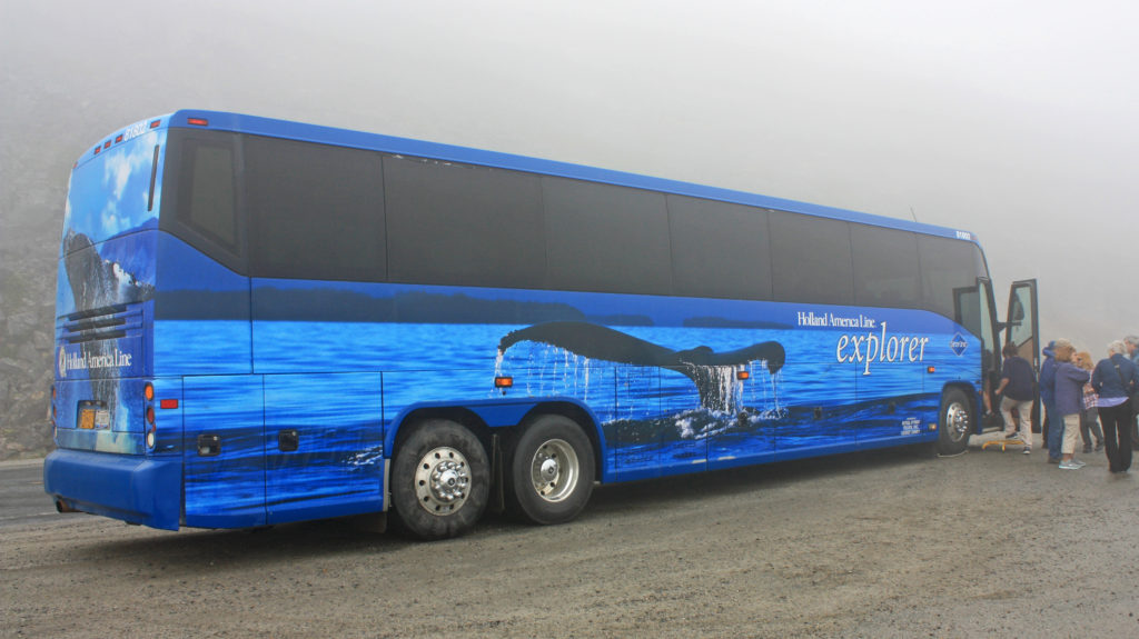
Our coach shrouded in fog.
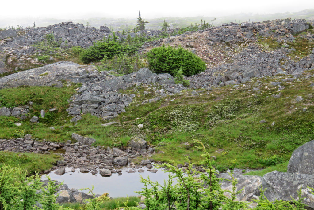
Scenes from the Tormented Valley.
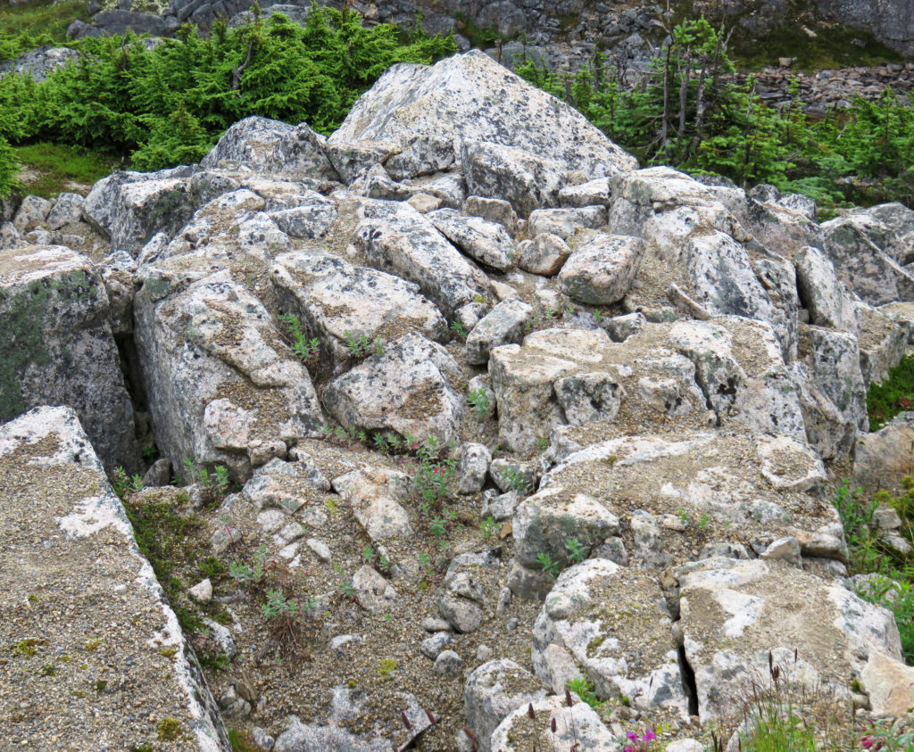
Gray rock covered with lichen.
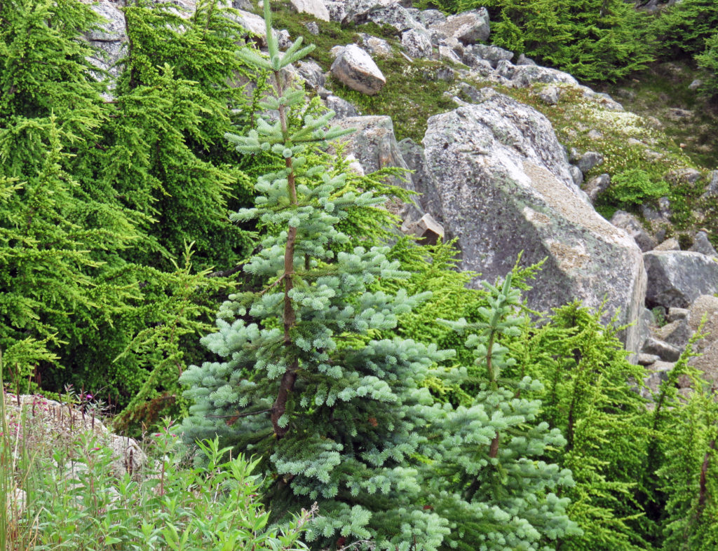
Large gray rock formations surrounded by small conifer trees.
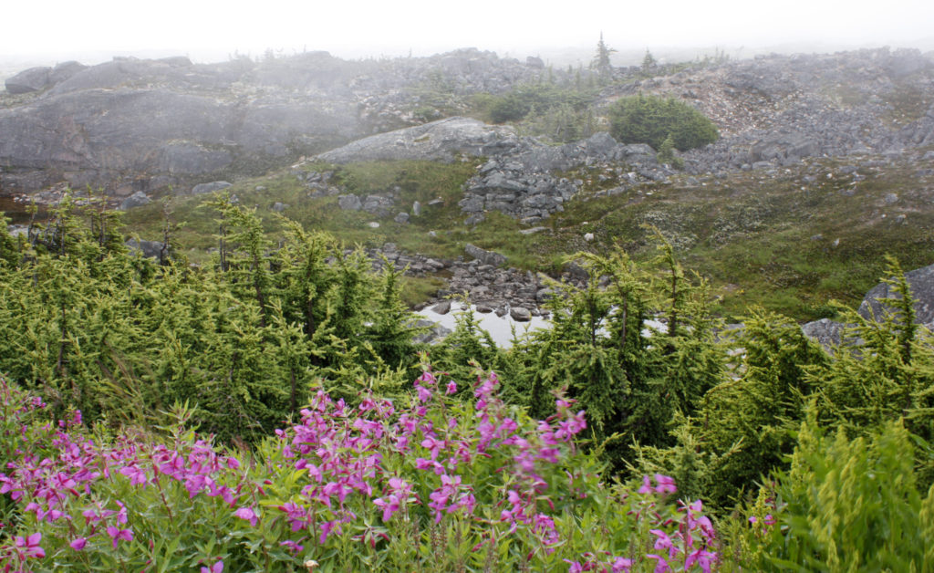
Beautiful flowers decorate the barren landscape.
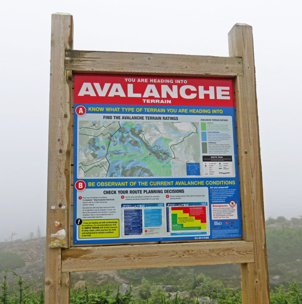
Avalanche Terrain.
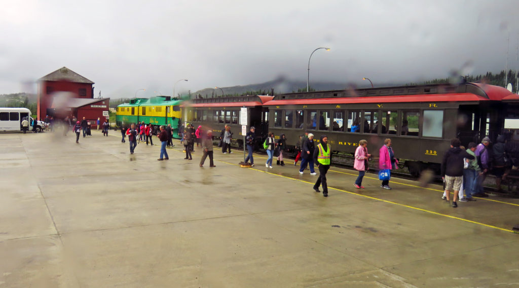
We board the White Pass & Yukon Route Railroad.
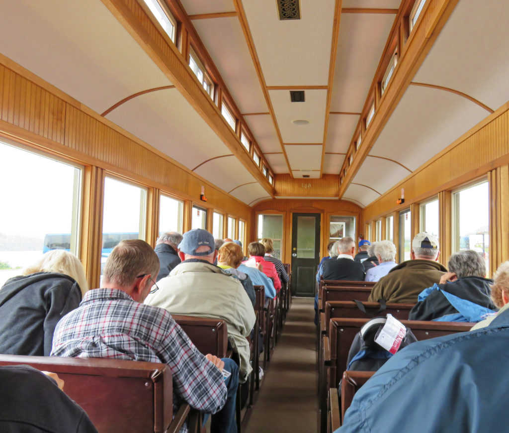
The inside of a fully refurbished train car.
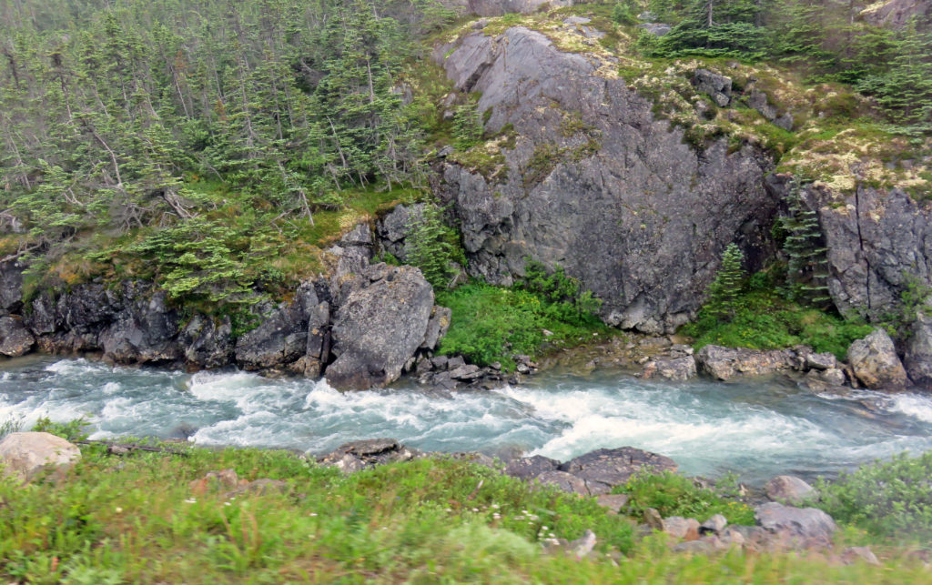
A stream rushes by as we climb up to White Pass.
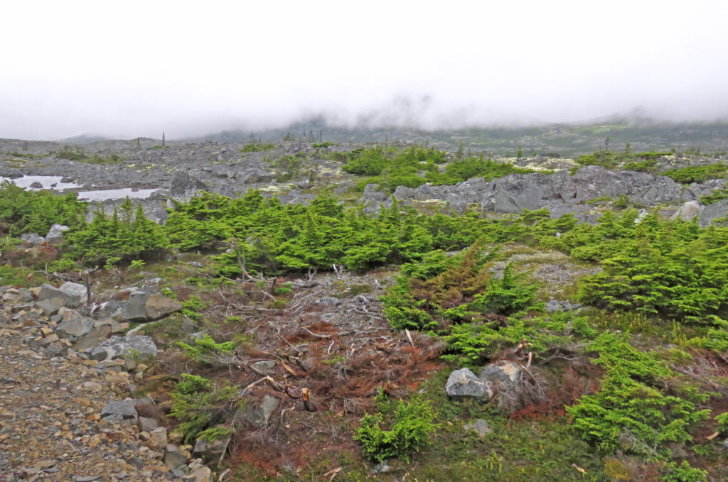
Stark terrain covered with bright green flora.
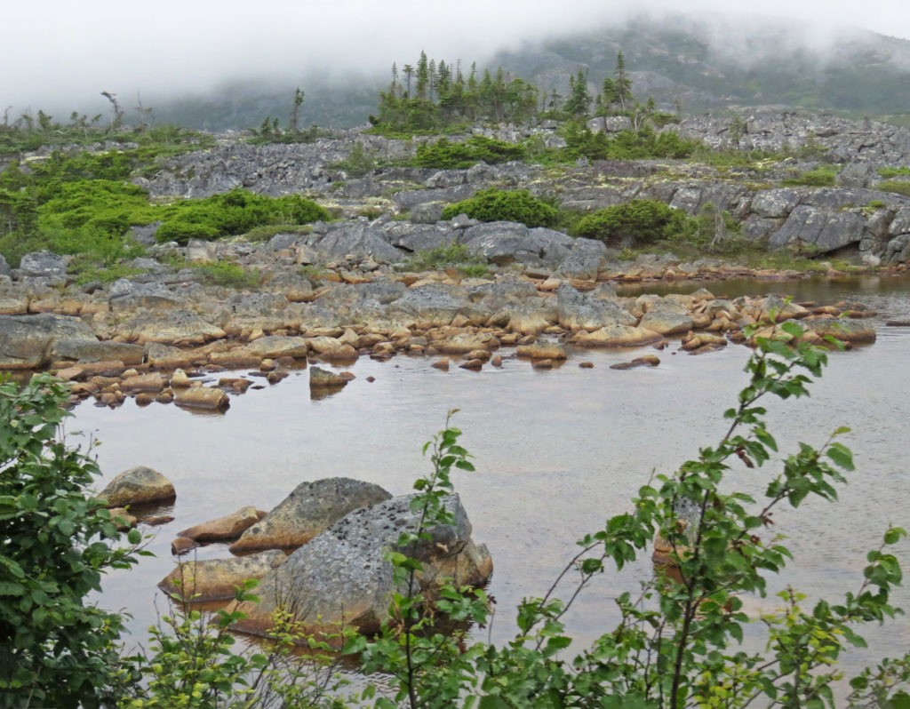
The terrain, blanketed in mist, was waiting for the warm presence of the sun.
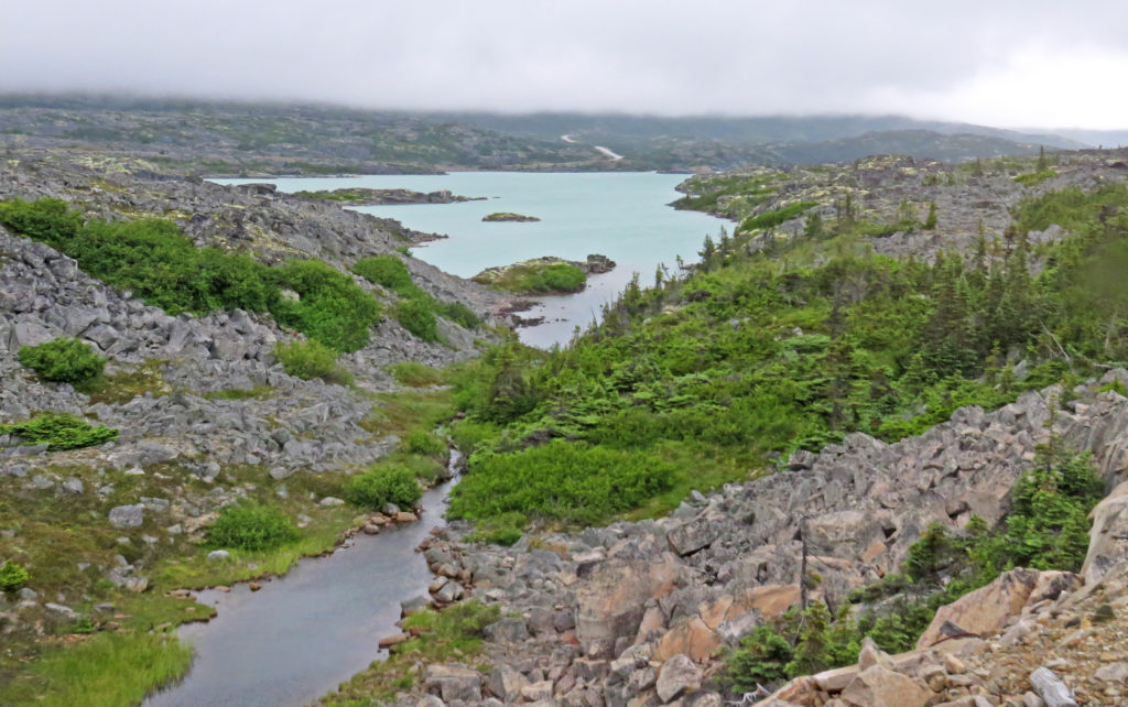
A small lake is spotted from the outside viewing platform.
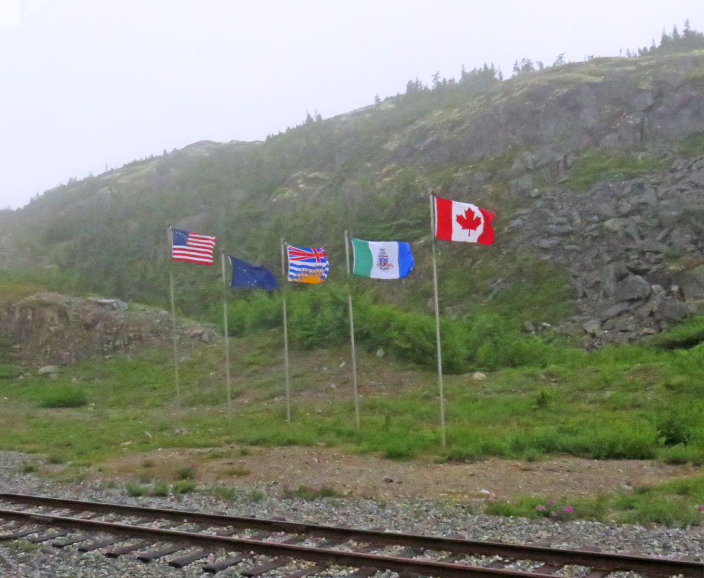
At the White Pass Summit, the official border between the U.S. and Canada.
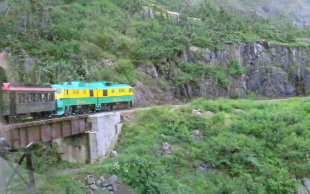
A colorful diesel locomotive pulls the train.
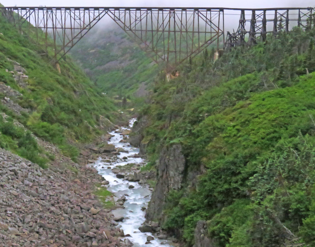
The old cantilever bridge built in 1900.
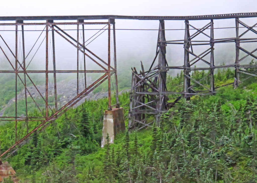
The tired and worn bridge.
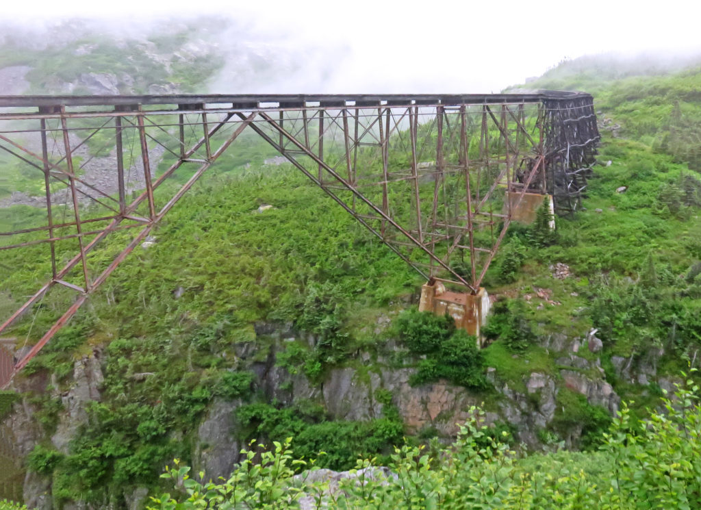
Back in 1900, this was the tallest cantilever bridge in the world.
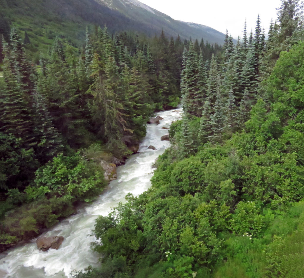
The beautiful Skagway River.
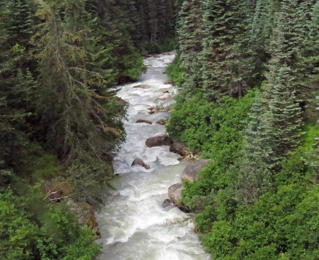
The Skagway River rushes over multi-shaped rocks.
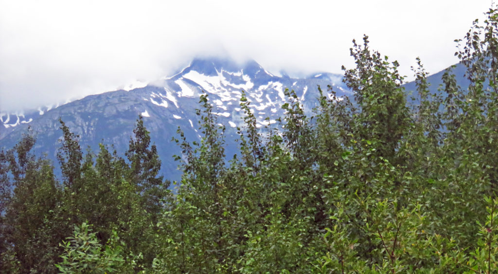
We are closing in on Skagway, Alaska.


Leave a Reply