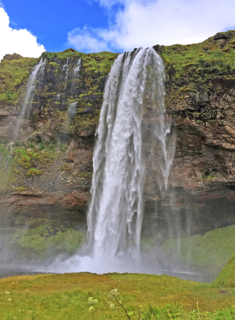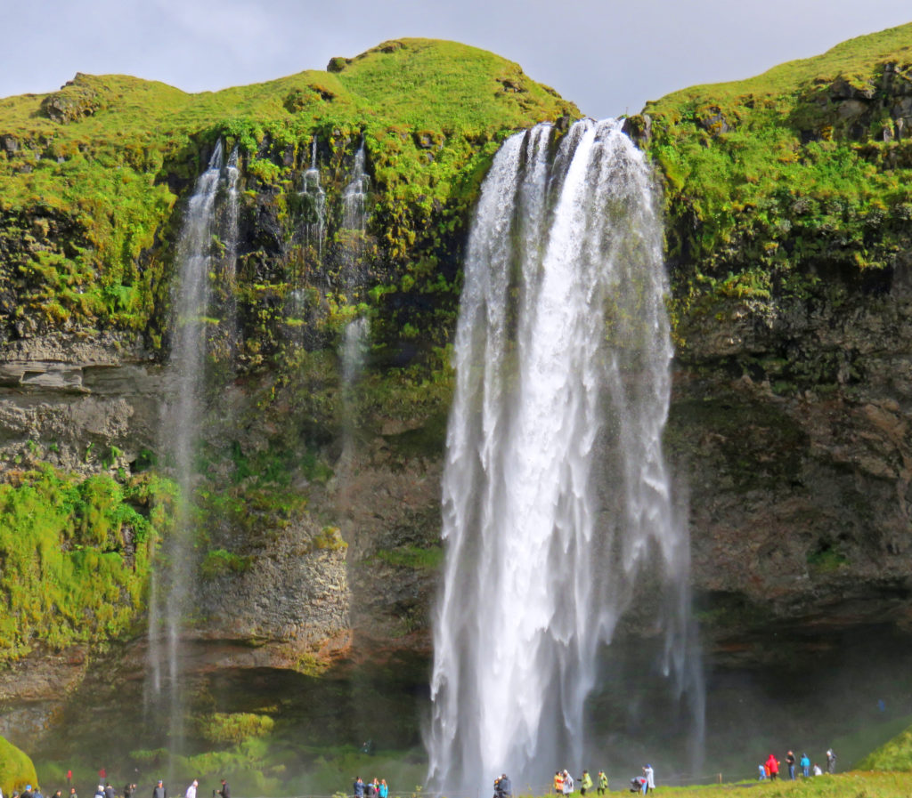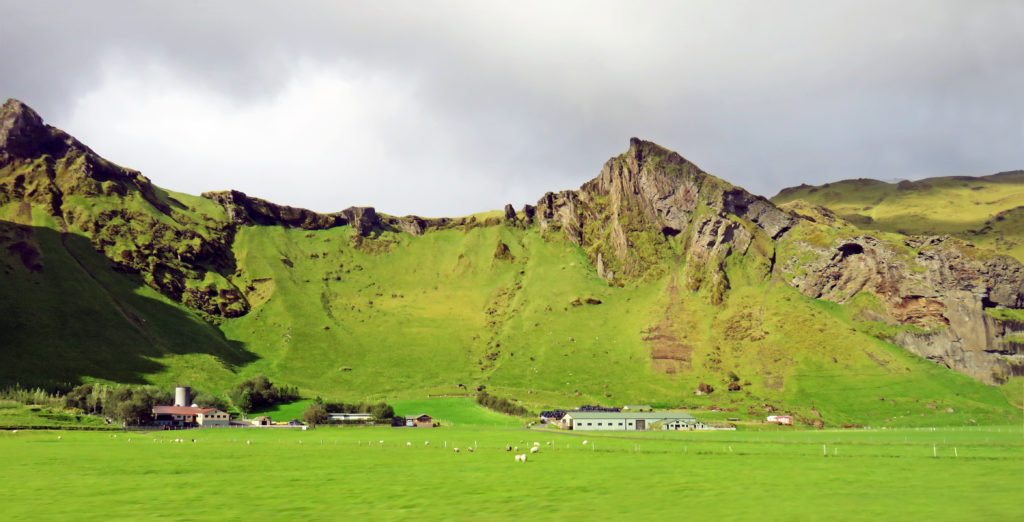
Home » Archive for category 'Uncategorized' (Page 2)

Uncategorized Archive

Whale Watching and Exploring Turf Houses!

Posted March 3, 2019 By admin


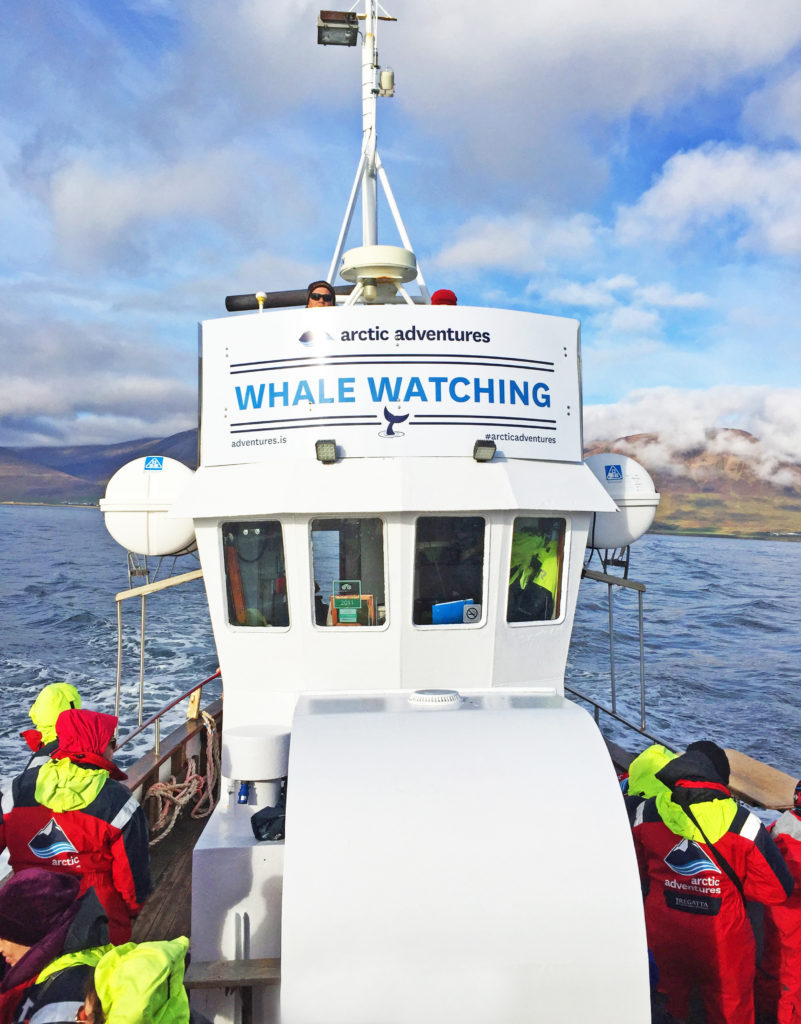
We set out on a re-purposed mid-size fishing boat to search for whales.


September 6, 2018

We were up early and excited about the whale watching tour we were going on. After a great breakfast buffet, we arrived at the whale watching headquarters in Dalvik Harbor. Dalvik is located on the Tröllaskagi Peninsula, in an area that is known for its excellent whale watching conditions. Our boat would be sailing in the Eyjafjordur fjord. The company (Arctic Adventures) operates two re-purposed mid-size fishing boats and a Rubber Inflatable Boat (RIB). We filed into a room full of large hanging racks where we were each issued a bright red full-body exposure suit. After donning them over our existing clothing, we spend a few minutes admiring our new sartorial splendor and snapping photos of each other.

Then it was a short walk to the pier. We walked on board and were underway by 9 a.m. Three of our group had paid extra and got underway at the same time on the RIB. The advantage was individual seats, excellent visibility for every passenger, speedy movement that maximized the probability of finding cetaceans, and time on station. The downside was a rougher ride and greater exposure to wind and wave (water!). Our scheduled three-hour cruise actually lasted four hours because of how long it took to find whales. We saw a group of porpoises zoom by in the other direction shortly after leaving the dock but had to travel far out to beyond the fjord entrance before we encountered a group of humpback whales. At that furthest point we were about seven miles from the Arctic Circle – basically, it was marked by the horizon line to the north.

We saw up to three humpback whales at once and the boat was able to maneuver quite close to them – sometimes within 20-30 feet of one. The whales seemed to pay little attention to the several circling whale watching boats, although they surely knew that the boats were there. They would breath several times over a few minutes then do a final breath and sound with their tail flukes rising gracefully out of the water as they started a deep dive. The group of three thrilled us by sounding one after another.

Earlier, the boat guide had spotted a minke whale in the distance (referred to as a “stinky minke” due to the smell of their exhalations) but we did not try to get close to it because that species typically swims away from the boats. The day was perfect for whale watching; very sunny with ~30% cloud cover, light winds, moderate swells from the north, temperature in the high 40’s/low 50’s. The swells did cause some seasickness on board, but following seas produced a smooth ride returning to port, which helped. What a memorable experience.

We jumped back in the van again and drove a few miles to the town of Olafsfjordur where we entered a single-lane, two-direction tunnel. The seven-mile tunnel emptied out into the small fishing village of Siglufjordur. It was a great place to break for lunch. The village used to be the largest herring fishing port in Iceland. For a while, the town experienced a Gold Rush type expansion but when the herring stocks collapsed due to overfishing the town almost died. Fishing for cod continues and tourism and better road access have saved it. We had lunch in a local bakery–very good. On the mountain that overlooks the town we observed a complex set of horizontal metal structures that appeared somewhat like fences. Using helicopters, they had been installed to help prevent avalanches–a significant danger due to the local topography.

We left Siglufjordur and headed in a southwest direction. We were traveling once again through rolling volcanic hills and peaks. There were lots of small farms. Our guide said that there were no industrial-size farms in Iceland, only single-family farms, many of which had been run by the same families for hundreds of years. Again, sheep were everywhere; we saw more horses and cows than during the last few days. The main crop was clearly hay for animal fodder during the winter months. Reaping and baling was in progress throughout the island. Much of the baled hay was still scattered in the fields like “pellets” left behind by Paul Bunyan’s gigantic sheep and encased in plastic wraps of various colors (white, blue, yellow, red); Some of the huge bales were stacked neatly in piles next to low one-story barns.

At 5 p.m., we stopped at our final destination Glaumbaer, the site of an immaculately preserved 18th century turf farm house and church. There had been a church on the site for hundreds of years; the current structure dated back to 1926. As with most of the other churches seen scattered throughout the countryside, it was relatively small and very plain – a simple rectangular structure with a door at one end, three or four windows along each long side, and a modest steeple topped by a cross – no gargoyles, ornate spires, flying buttresses, or massive stone blocks. Many of these churches were similarly isolated, standing practically alone in the countryside. Lutheran churches predominate (hence the lack of ornamentation); our guide mentioned that there were only two Catholic churches in Iceland, one in each of the two largest cities. Upon entry, the interior of the church proved as plain as the exterior with unadorned wooden walls and benches and a simple altar and pulpit. The highlight was a beautiful wooden pipe organ in the rear of the room.

The farm house was made up of 13 different buildings, all linked together, with each having its own function. The rustic buildings were a charming and potent reminder of rural life in Iceland in the 18th and 19th centuries, and were made of timber, stone, and turf, with the turf laid out in long strips in a herringbone pattern between the stone. The construction included some wood and small windows – pretty primitive. Our guide pointed out that the house would have been that of a relatively wealthy person of the time and originally would not have had any windows since glass was unavailable. Other Icelandic people lived in even more primitive dwellings with little or no wood – rock, turf, mud. The church and house area were partially enclosed by a low, one-foot thick turf wall laid in a chevron pattern.

At 7 p.m., we arrived at our lodging for the night – Hotel Laugarbakki – another large country inn that was located near the small town of Bitfrost, a small university community. The modern-looking building used to be the local school. It proved to be a very nice accommodation. There were thick robes staged in the room for use in getting to/from the hotel’s open-air hot tubs. Around 11 p.m. that evening most of our group met with our guide outside the hotel to try to see the northern lights. It was partly cloudy with some upper level haze, but we could see stars in large patches of sky. The northern lights proved a bit shy, but we did see some for a bit, faintly. Mission accomplished, we called it a night before frostbite set in.

Bless,
Kathy
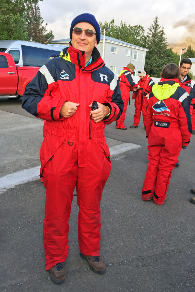
 

Rodge posing in his full body exposure suit.
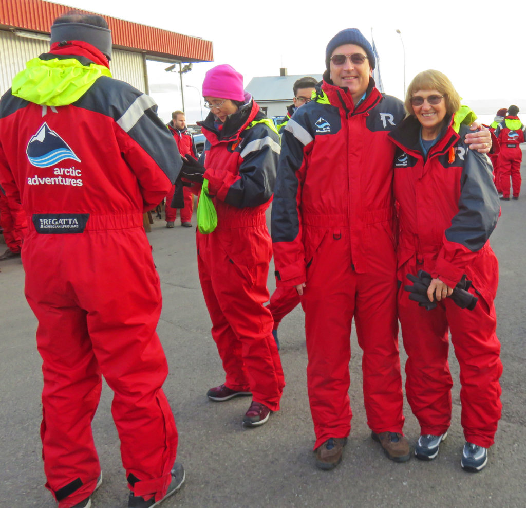
 

We are both ready for some whale watching.
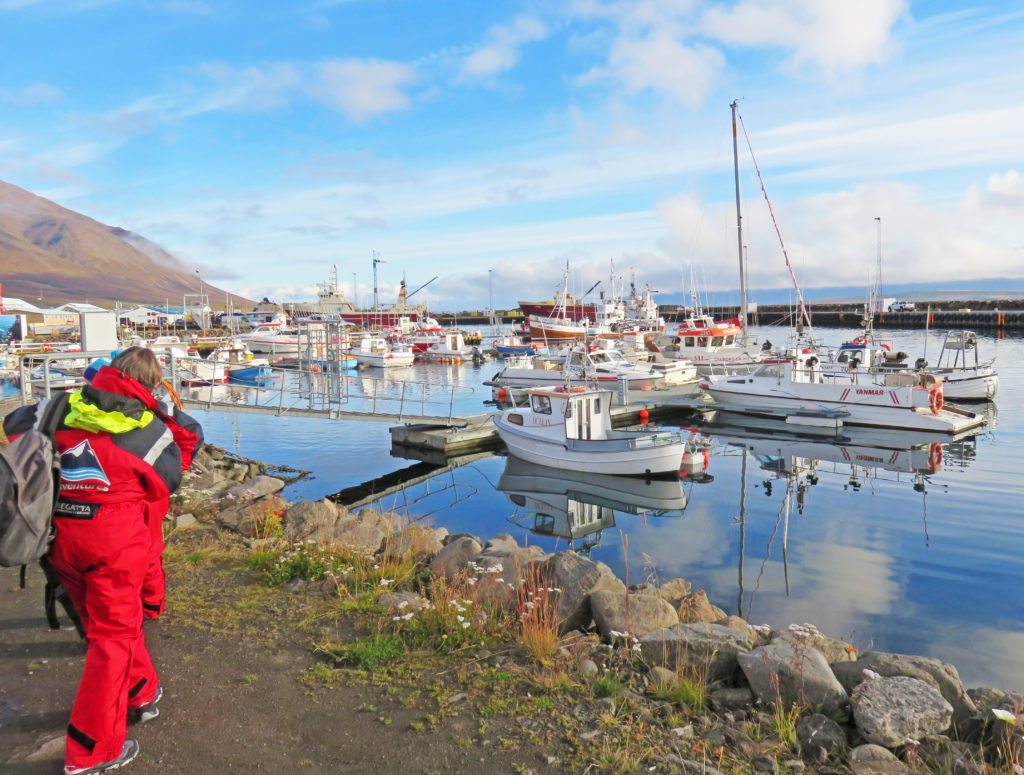
 

Walking to our fishing boat in Dalvik Harbor.
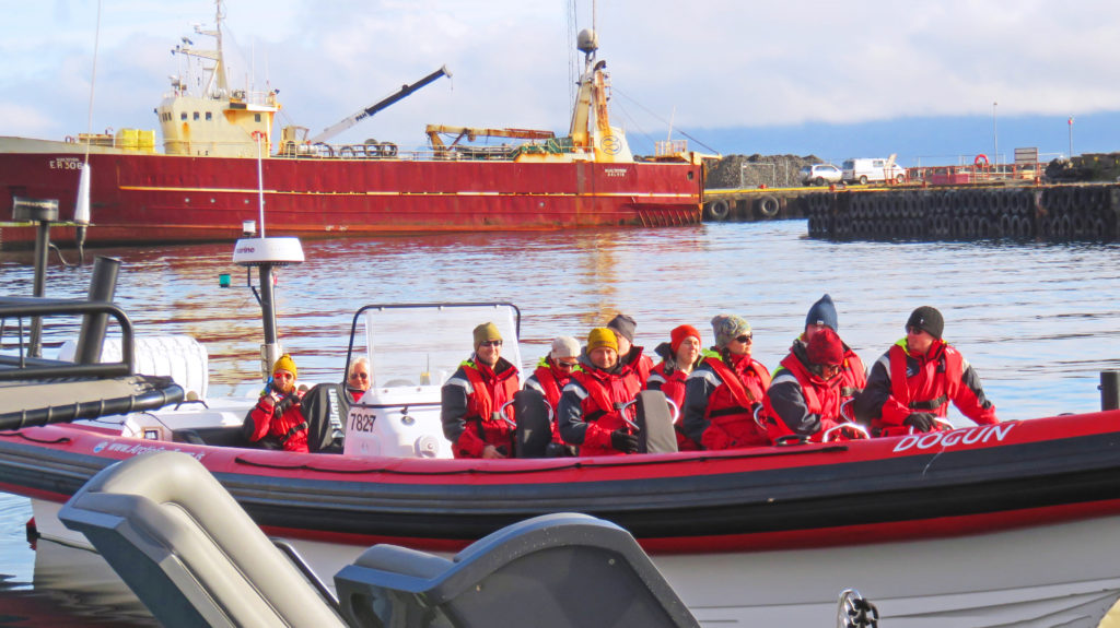
 

The RIB is ready to go exploring for whales.
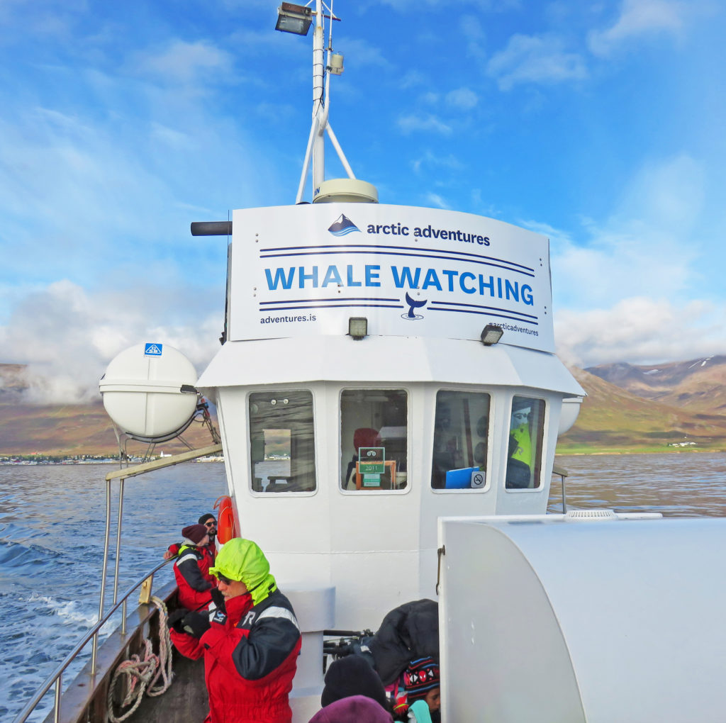
 

Pulling out of Davik Harbor into the fjord.
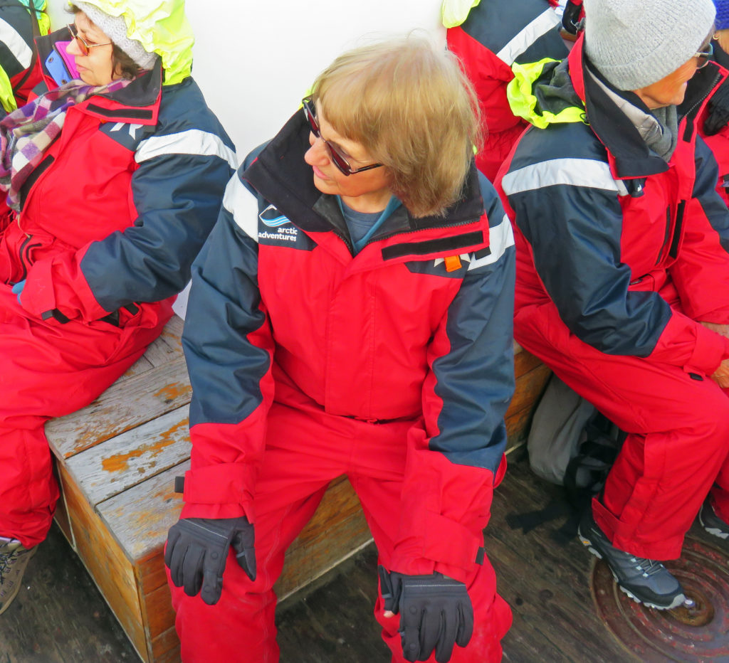
 

Kathy looking for humpback whales.
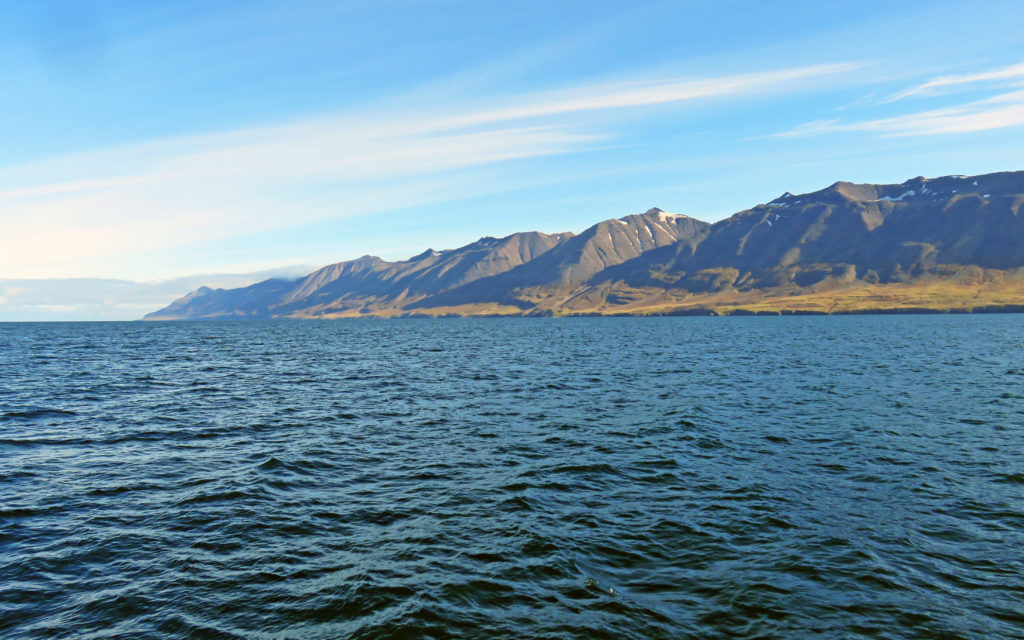
 

Cliffs standing tall along Eyjafjordur, Iceland’s longest fjord.
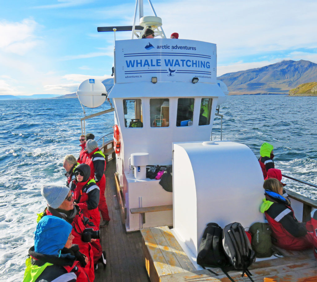
 

We are chasing after dolphins and whales in the chilly blue waters.
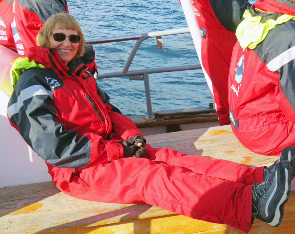
 

Kathy basking in the sun on a brisk day in northern Iceland.
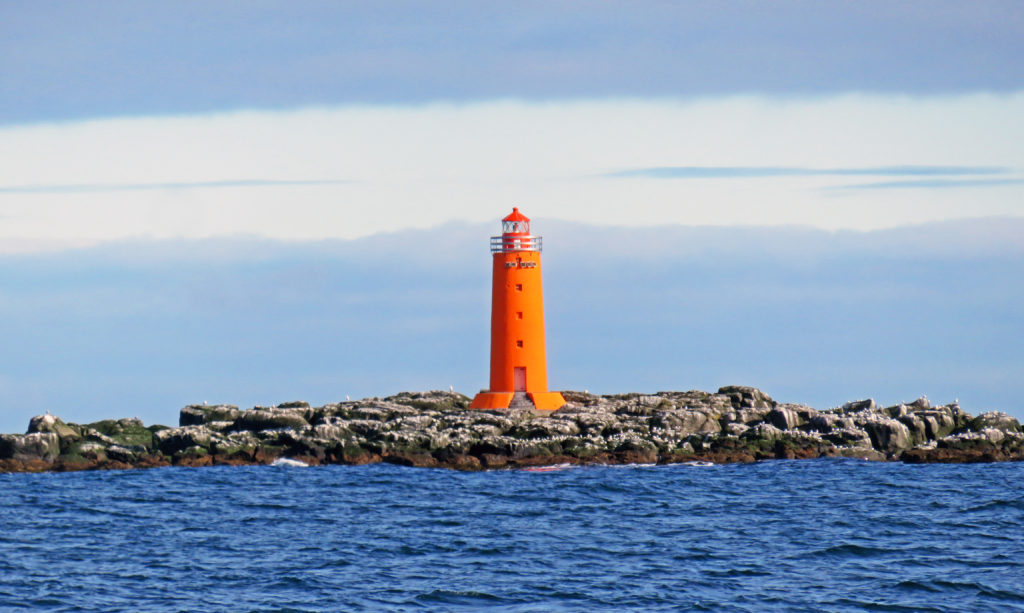
 

A colorful lighthouse on the island of Hrisey.
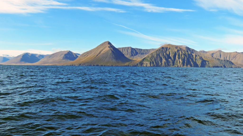
 

More amazing geological formations along Eyjafjordur fjord.
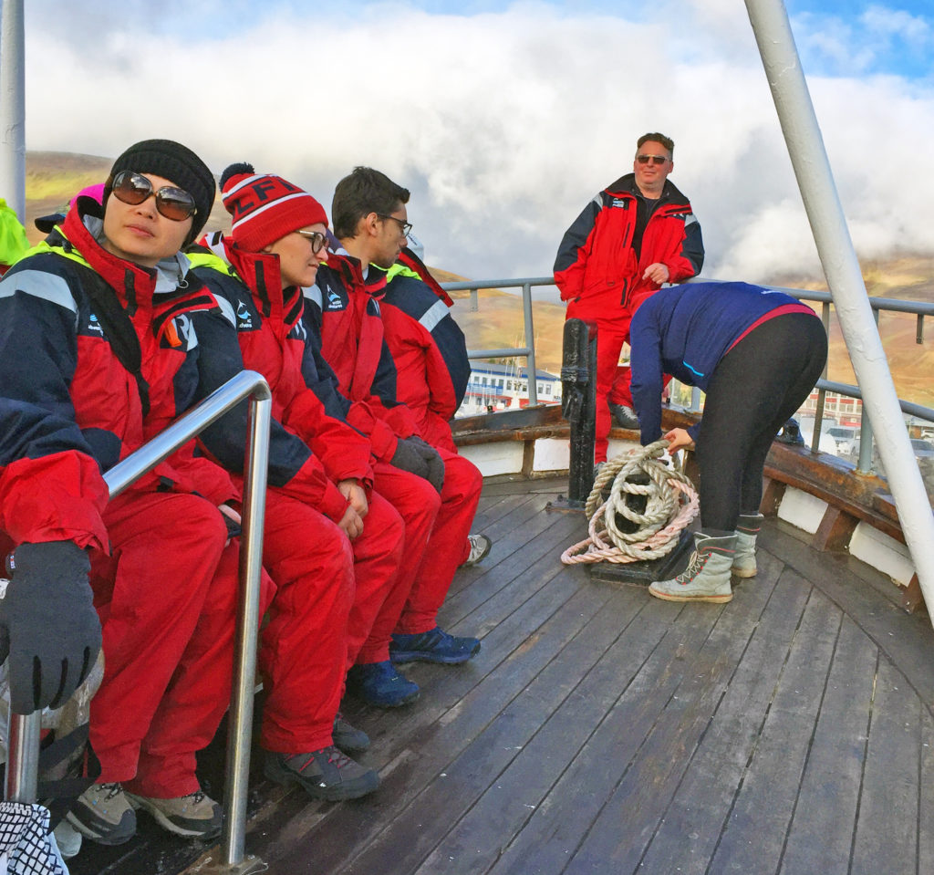
 

Our tour guide (standing at the front of the boat) enjoying his time at sea.
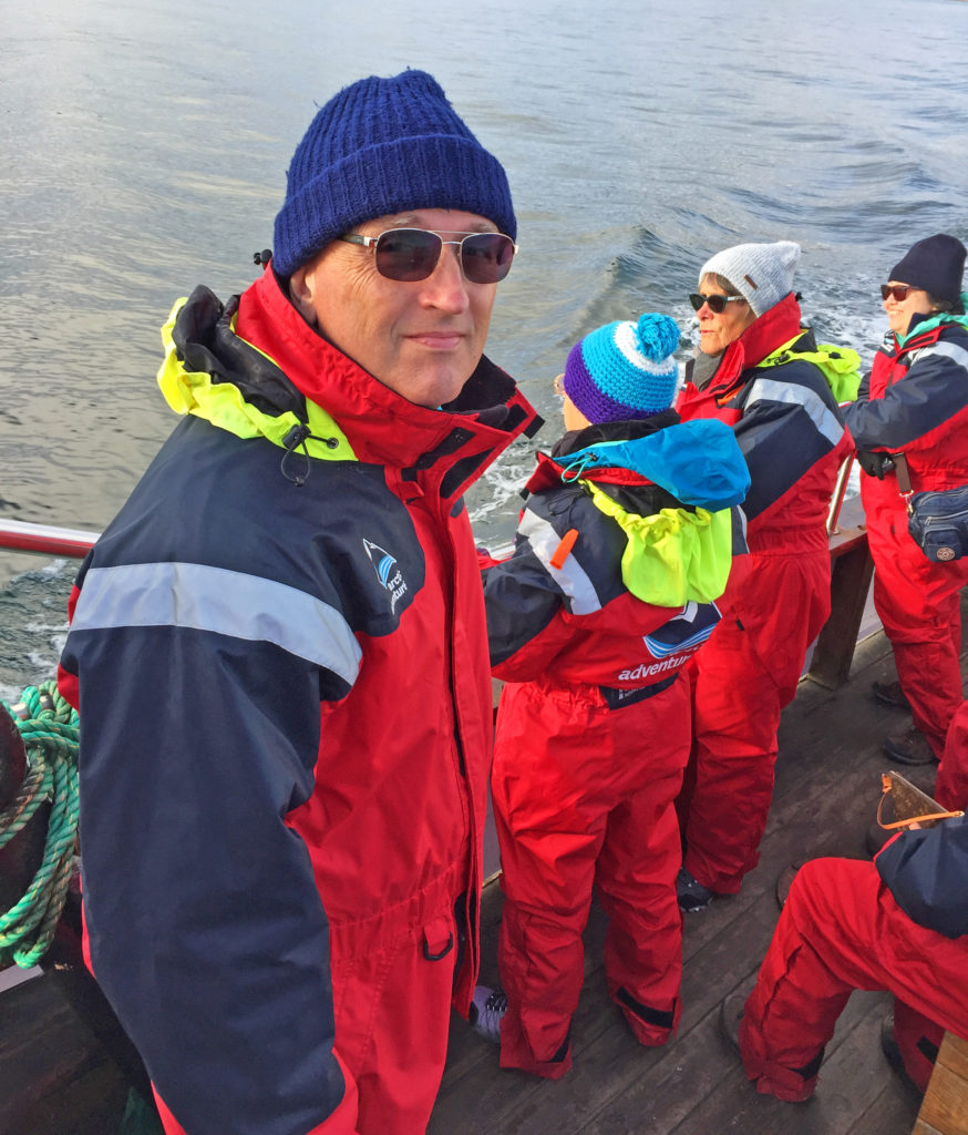
 

Captain Rodger on the look out for whales and submarines!
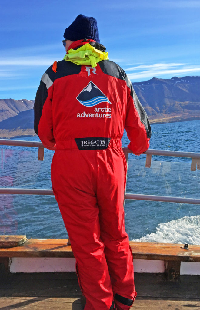
 

Rodge enjoying his Icelandic cruise.
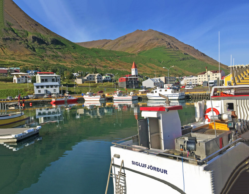
 

We take a lunch break in the small fishing village of Siglufjordur.
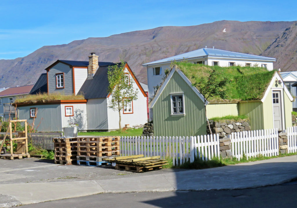
 

Houses displayed sod roofs in a quiet neighborhood of Siglufjordur.
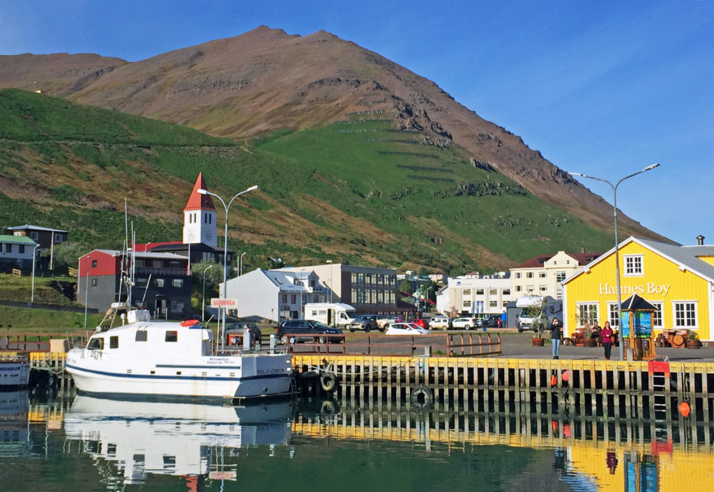
 

The village used to be the largest herring fishing port in Iceland.
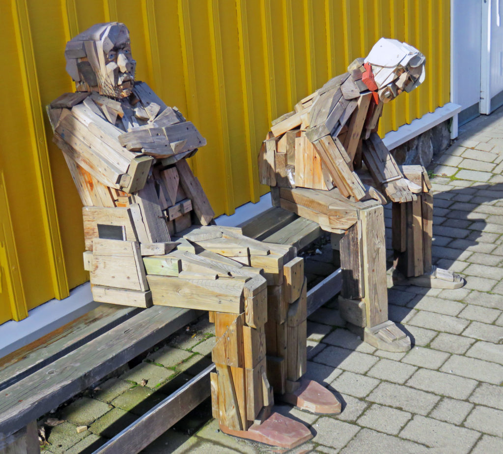
 

Tourists waiting for their van.
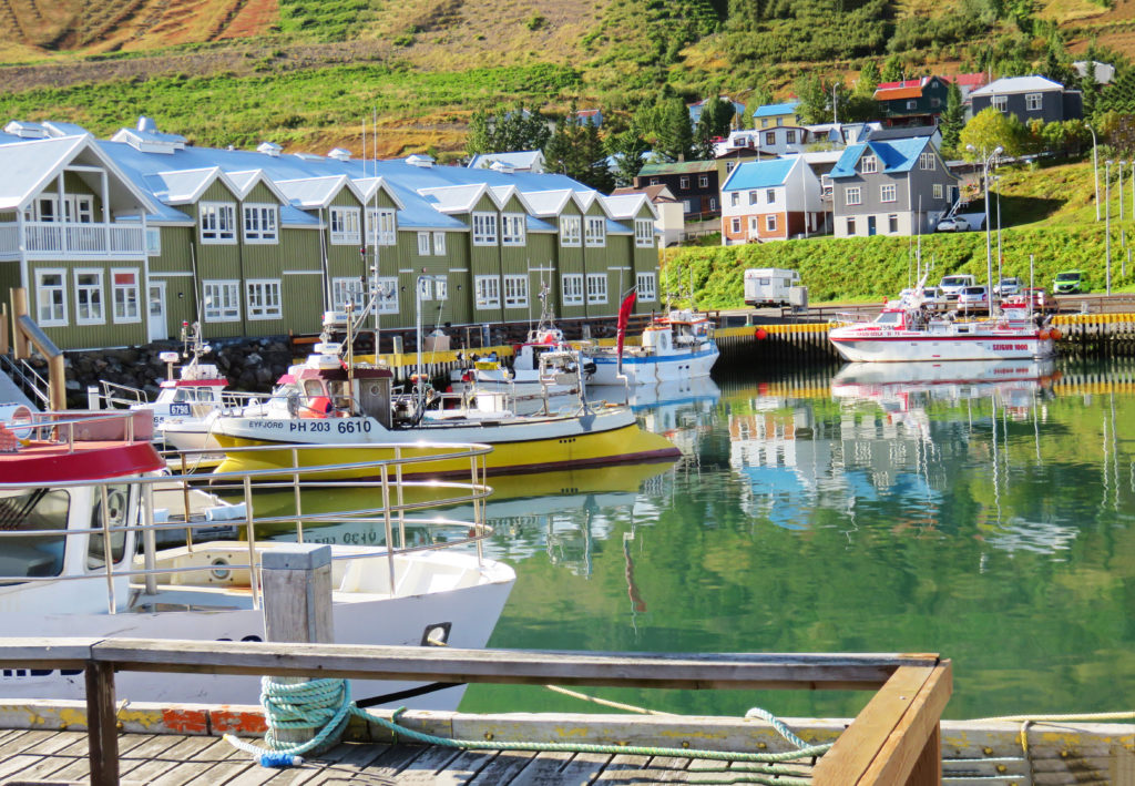
 

Modern housing units overlook the harbor.
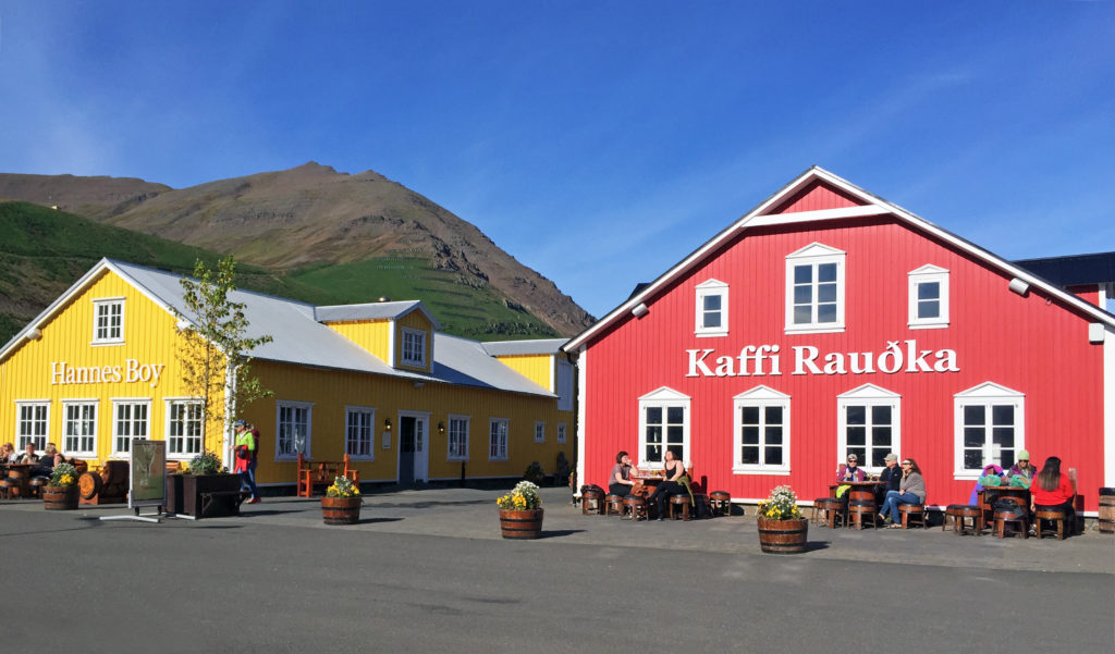
 

A restaurant shopping complex in Siglufjordur.
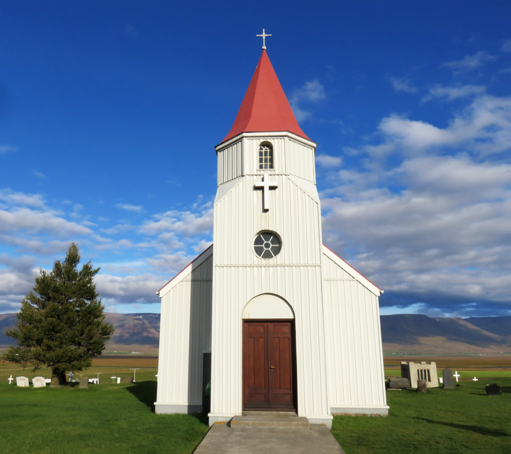
 

A church built in 1926 is on display at Glaumbaer Farm, a historic site.
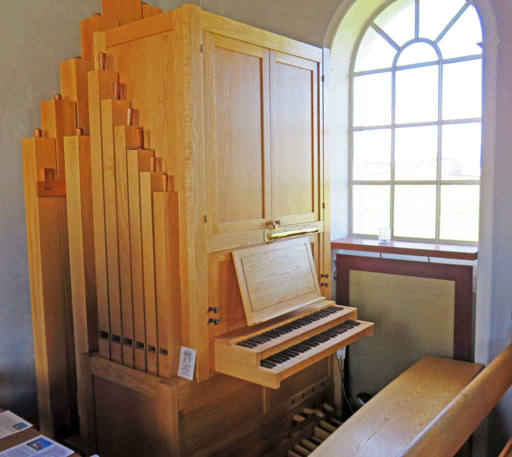
 

A beautiful wooden pipe organ in the rear of the church.
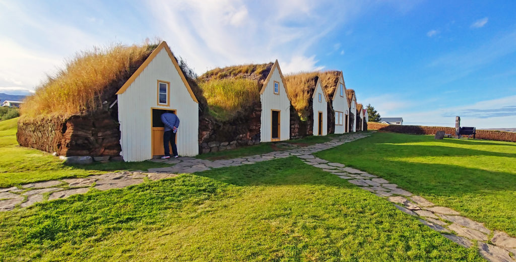
 

People lived in the Glaumbaer turf farmhouse until 1947.
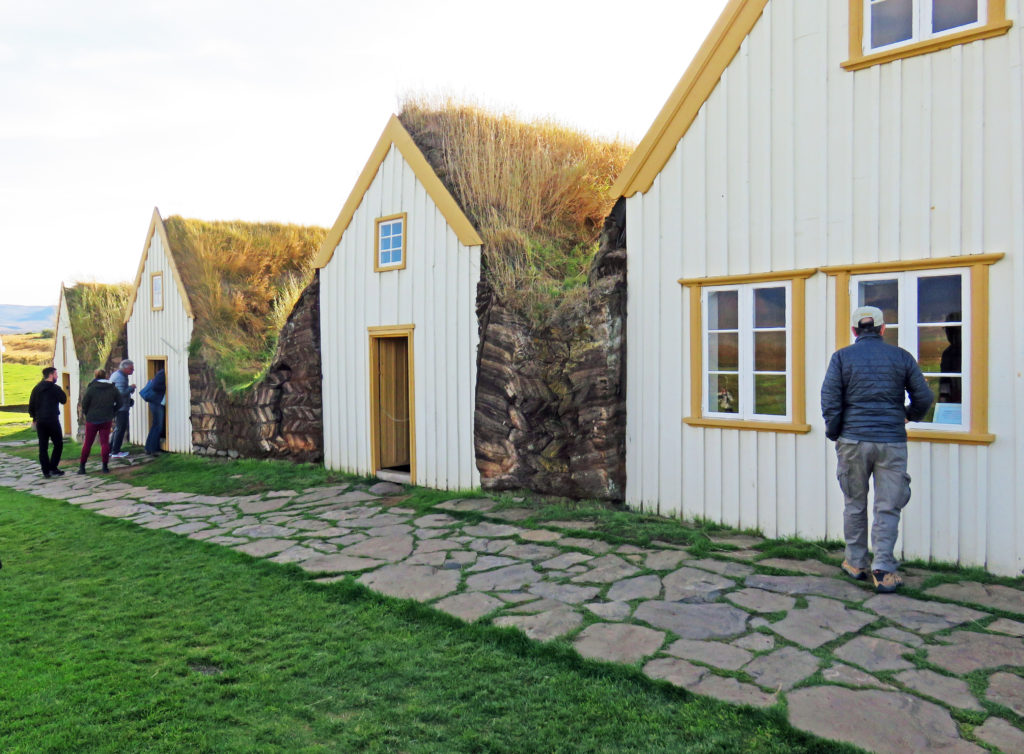
 

Houses were made of timber, stone, and turf. They originally had no windows.
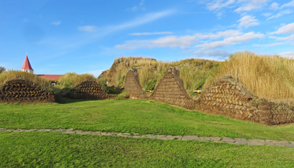
 

The back of a farm house with the turf laid out in a herringbone pattern.
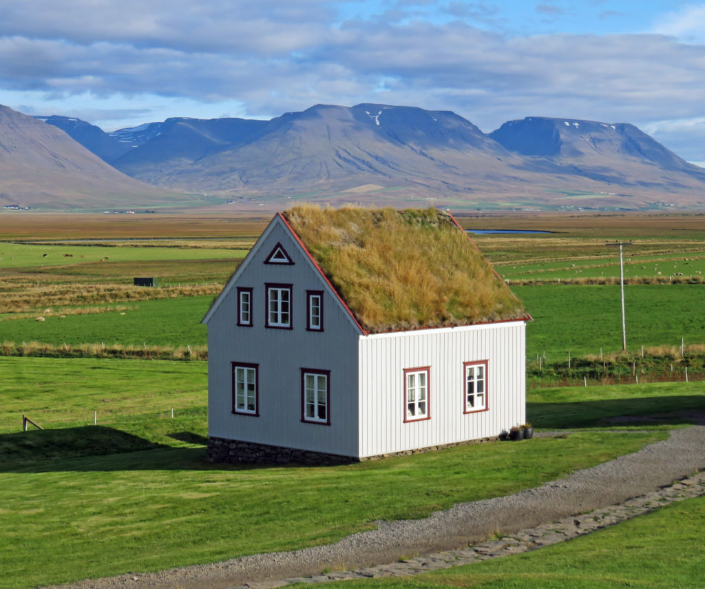
 

This 1884 timber house shows the style that took over following the turf houses.
 

Be the first to comment

Waterfalls and Volcanic Sites in North Iceland.

Posted February 27, 2019 By admin


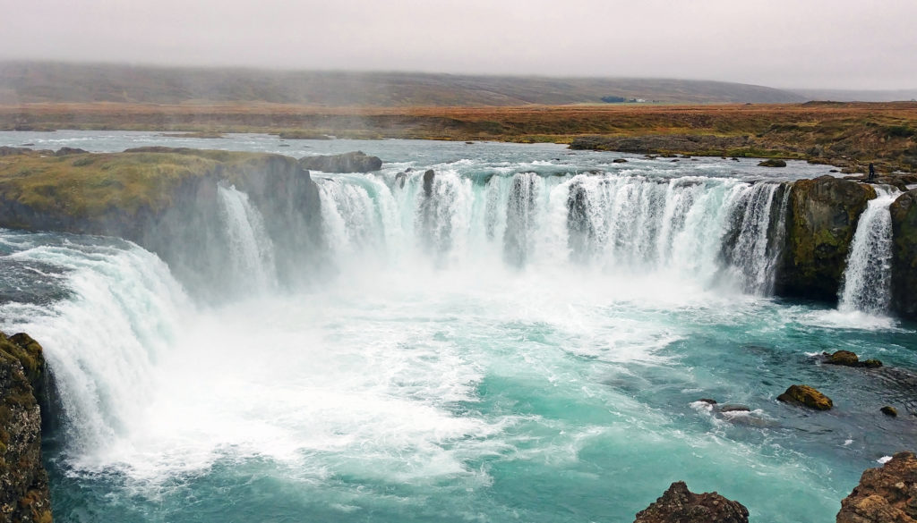
Stunning Godafoss falls cascades thirty-six feet into a blue-green pool of water.


September 5, 2018

We were up early at 6 a.m. and excited about our Trek into northern Iceland. This was the first place where the hot water in our room smelled like sulfur. But we had to remember, we were in Iceland where hot water comes from a geothermal source. After a hearty breakfast we were once again on the road for another exciting day.

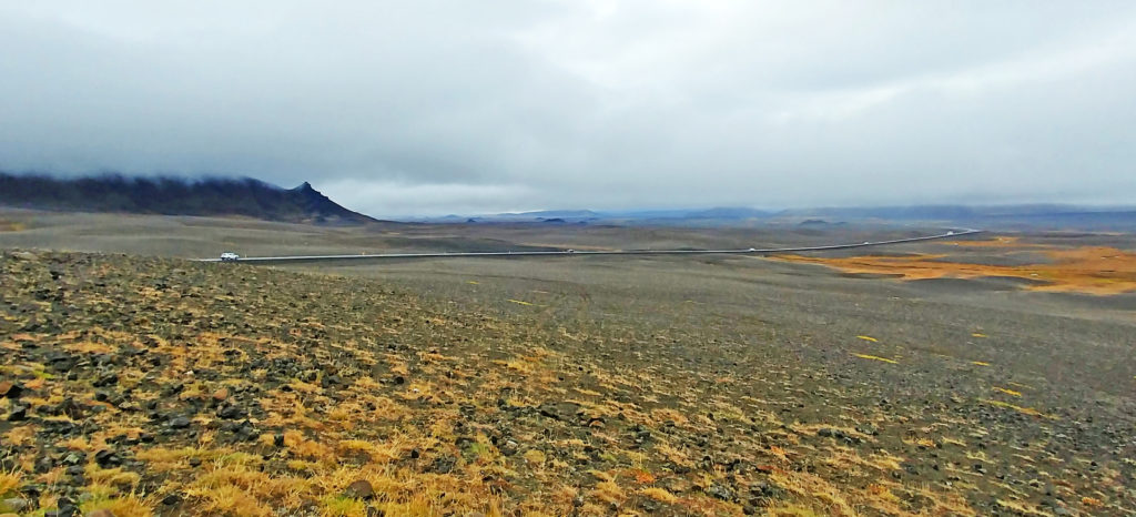
We had a 2-1/2-hour drive to our first destination. Along the way, we were treated to rolling farmland through shallow valleys and, of course, sheep continued to be evident everywhere. Like the sign said in the airport – “Icelandic sheep – Free range since 875”.  Just as we were getting used to the pastoral landscape the terrain changed drastically. We were out in the middle of nowhere with volcanic desolation all around us — black rolling hills of ash, small volcanic cones in the distance, and lava outcroppings.

We stopped at a scenic overlook so we could get a better view. We were on the edge of the Highlands of Iceland, a sparsely inhabited plateau that covered most of the interior of the island. The area was mostly an uninhabitable volcanic desert because the water precipitating as rain or snow infiltrated so quickly into the ground that it was unavailable for plant growth. This resulted in a surface of grey, black or brown earth, lava, and volcanic ashes. It looked like a moonscape.

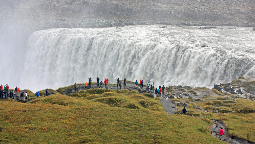
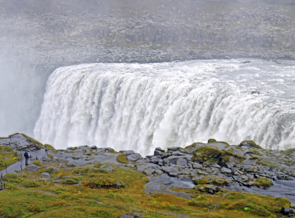
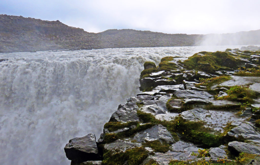
At 10 a.m. we arrived at Dettifoss waterfall, the most powerful waterfall in Europe. After a fifteen-minute walk over a volcanic lava and ash landscape, we reached the falls, coming at them from above. We were greeted by a thundering roar of water and a wet cloud of mist. The falls looked equivalent in size to the American Falls at Niagara Falls, but prettier since the water plummeted 150 feet straight down in a wide sheet with no rocks breaking up the flow on the way down.

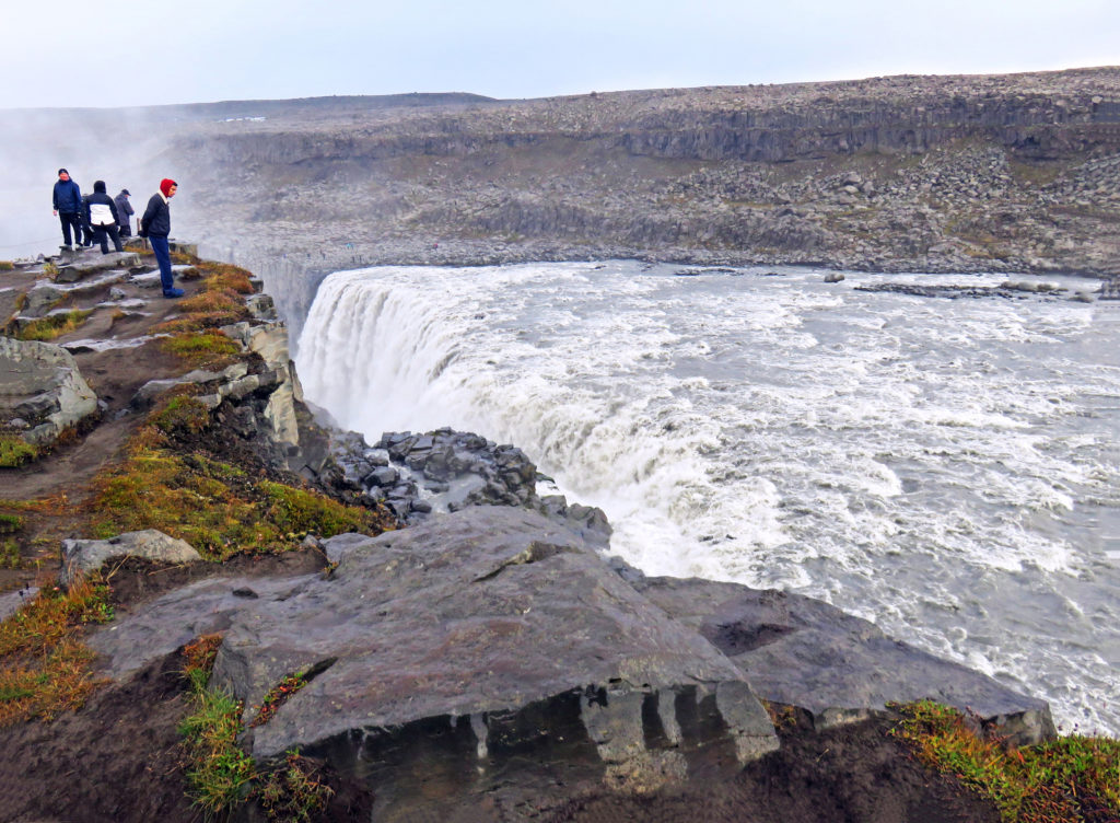
Since the area was very misty and damp and the air temperature was 40° F with some wind, we bundled up to keep warm. It was a potentially dangerous site considering the wet surfaces. Where a similar sightseeing area in the U.S. would have waist-high walls or guardrails, Iceland had thin ropes placed just above knee level; where a U.S. site would have rope warning lines and/or signs, Iceland had nothing. They must figure that stupidity merits its own appropriate reward. Slipping into that chasm would be certain death. If the fall didn’t do it, the fast-running glacial water and isolated location would. That may be why Iceland doesn’t seem to waste resources having rescue assets nearby.

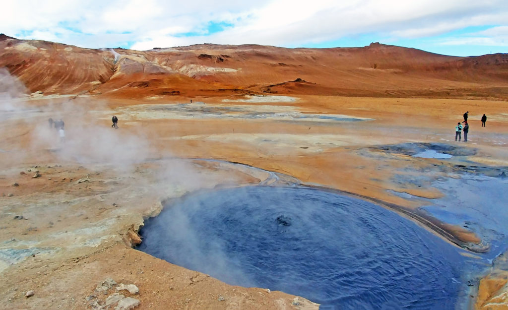
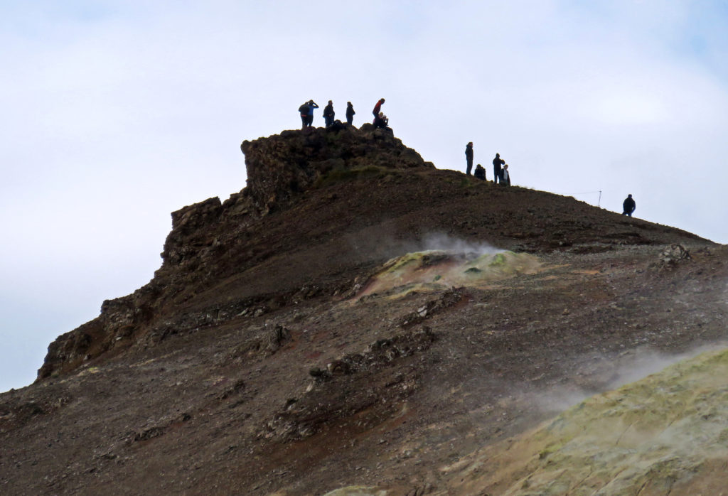
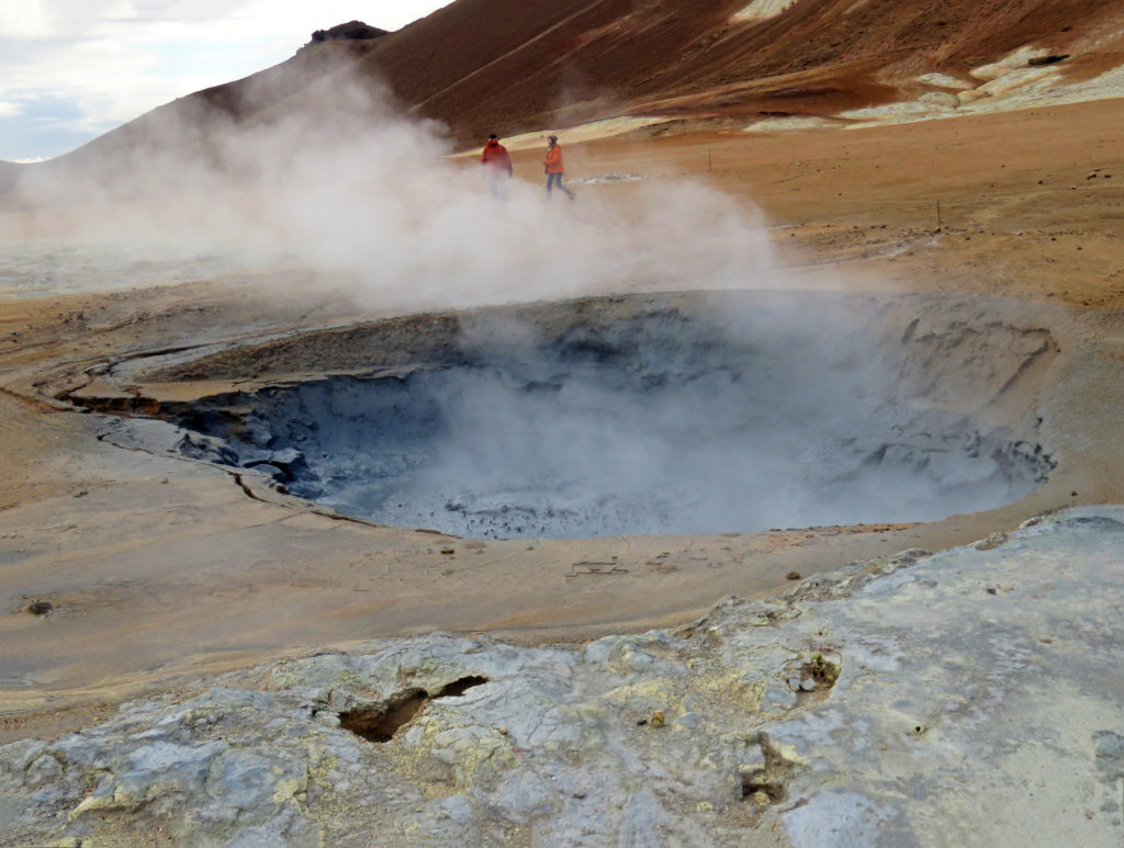
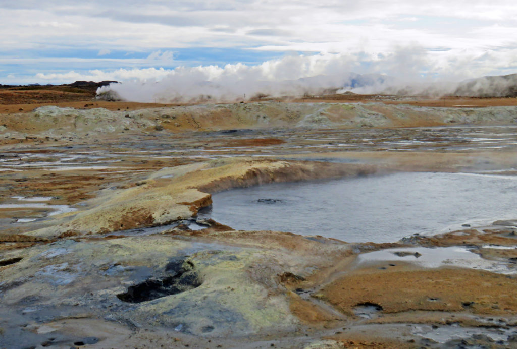
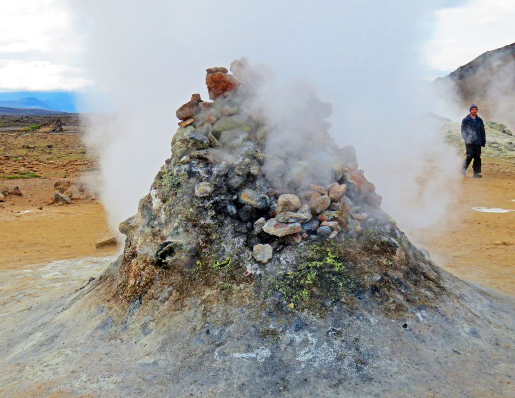
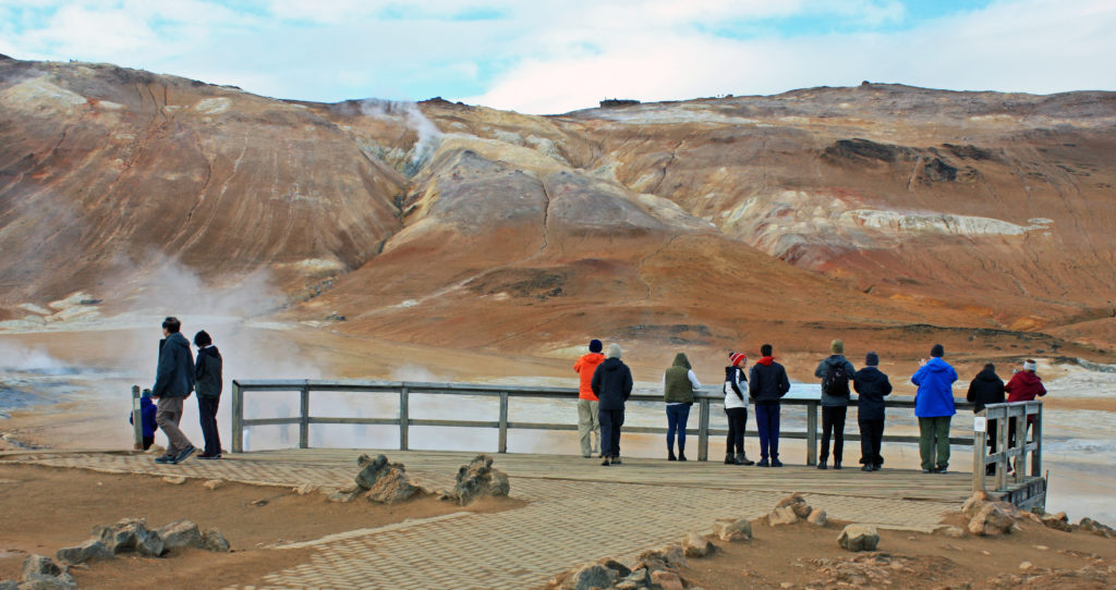
Next, we headed to Namaskard geothermal area. The first thing we noticed when we got out of the van was the rotten egg smell, caused by hydrogen sulfide. The vast area was barren with no vegetation due to poisonous fumes and acidic soil but the terrain was colorful due to the deposit of various sulfur crystals. When we toured the geothermal area, we walked by several bubbling mud pots, fumaroles wafting clouds of steam, and fissures. The fumaroles were my favorite feature. They looked like little stacked-rock ovens hissing and spitting steam. The mountain (Namafjall) looming in the distance also had vents of steam rising from it.

At noon we arrived at Myvatn Nature Baths, a hot springs bath complex. While many of our fellow travelers immersed themselves in the hot, mineral-laden water, we enjoyed a leisurely lunch at a dining area overlooking the bathers and enjoyed some beautiful sunshine while conversing with our guide and some of our fellow travelers.

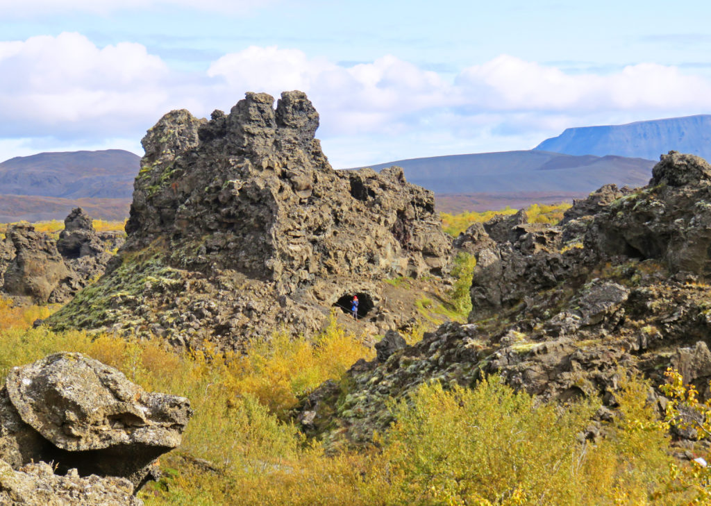
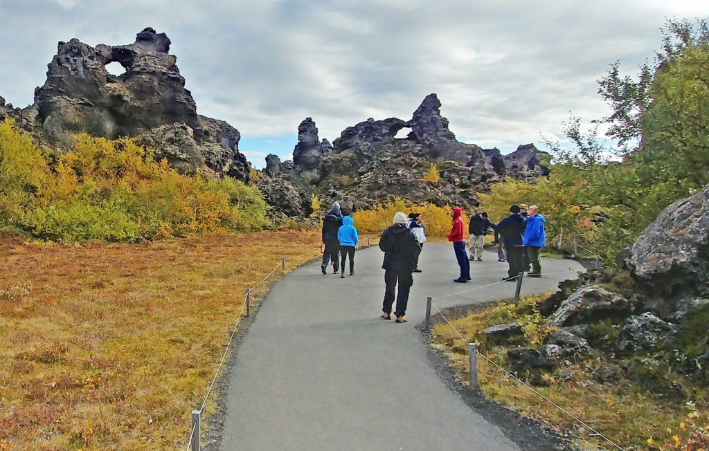
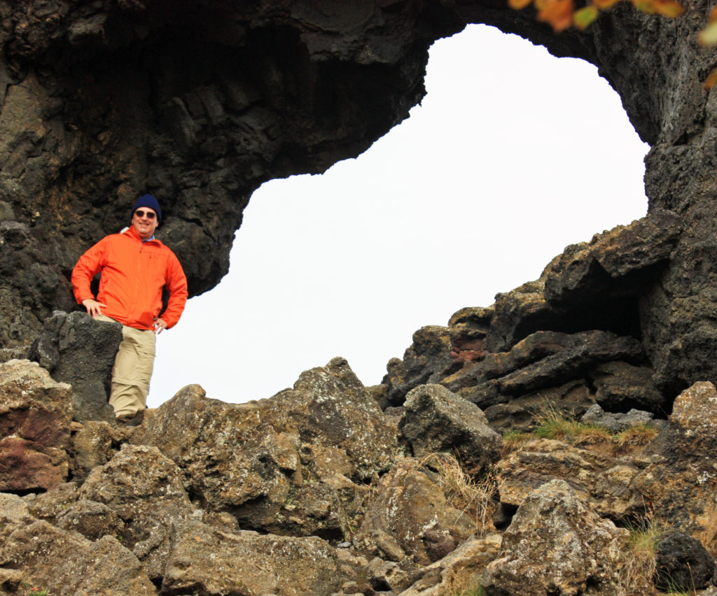
After lunch we were treated to a walk through Dimmuborgir Lava Formations. The area known as “Dark Castles” was formed by a lava-lake, flowing from a large eruption about 2300 years ago. On the site of Dimmuborgir, the lava pooled over a small lake. As the lava flowed across the wet sod, the marsh water boiled with vapor rising through the lava, forming lava pillars. Some of the pillars were several meters in diameter. As the lava continued flowing towards the lower ground, the crust collapsed, leaving the hollow pillars of solidified lava standing.

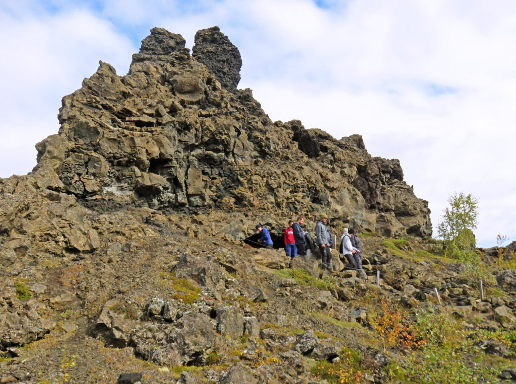
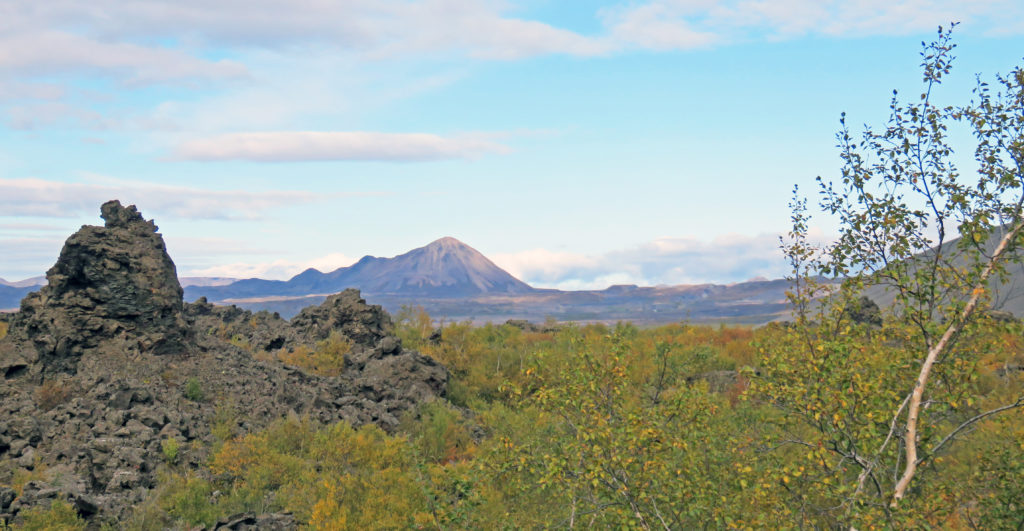
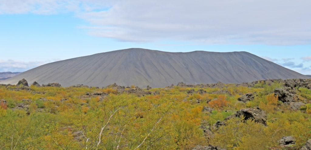
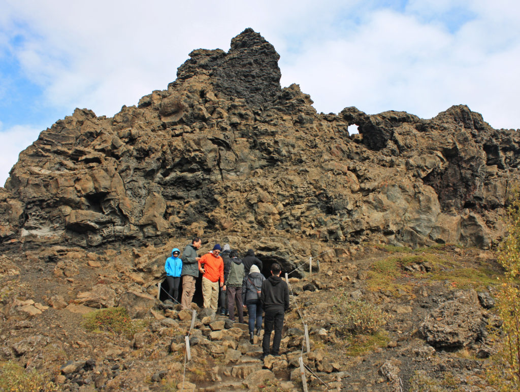
We hiked on one of the many paths and explored lava pillars, caves, rugged crags and towering rocks. Some of the rocks were sixty-five feet tall. We climbed up to the most famous formation “The Church” which is a cave opens at both ends with a dome like ceiling. From there we had an awesome view of Hverfjall, a huge volcano crater created during a short but powerful eruption some 2,800 years ago.

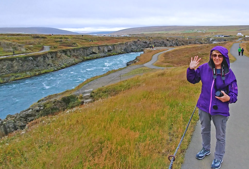
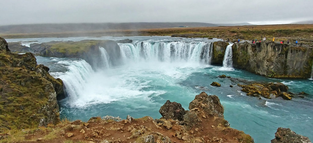
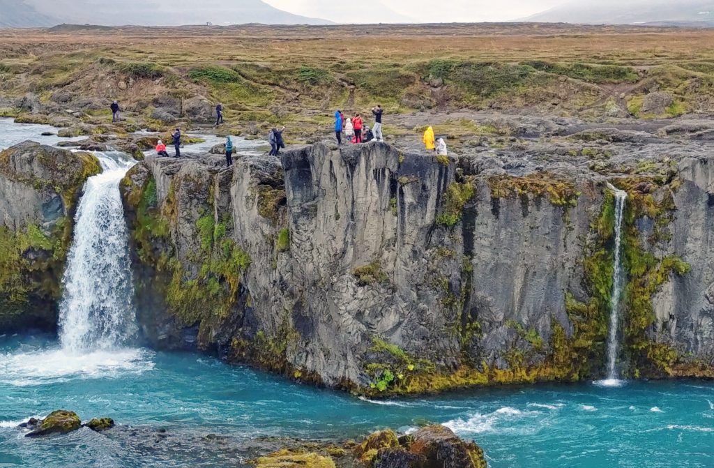
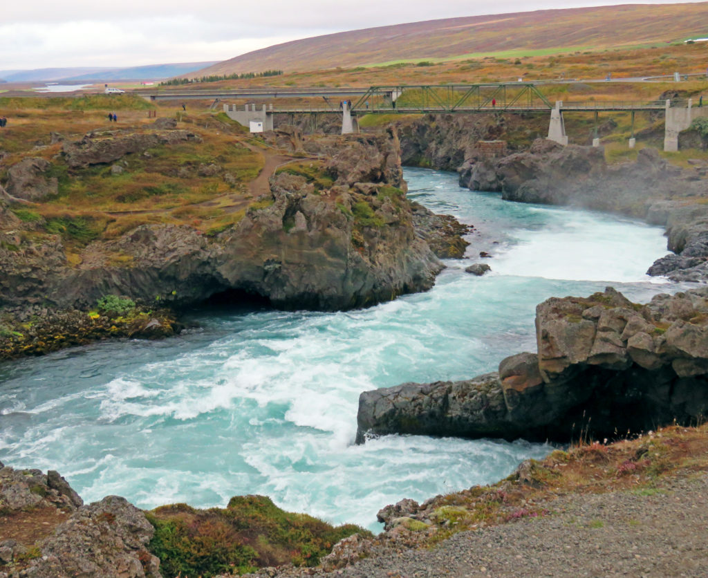
Later in the afternoon, we stopped at Godafoss waterfall, known as the “Waterfall of the Gods.” The falls got its name when Christianity was declared the official religion of Iceland, and the locals threw their Norse pagan god statues into the waterfall. It was a short walk from the parking lot along the downstream of the Skjalfandafljot River (the strongest white-water rapids we saw during the entire trip) to the upper side of the falls. Very dramatic. About a ¼ scale version of Niagara Falls in both height (36 feet) and layout; there were two parts – one straight and one horseshoe with a slight separation between the two parts. Many tourists on both sides of the falls were closely competing vigorously for this year’s Darwin Award.

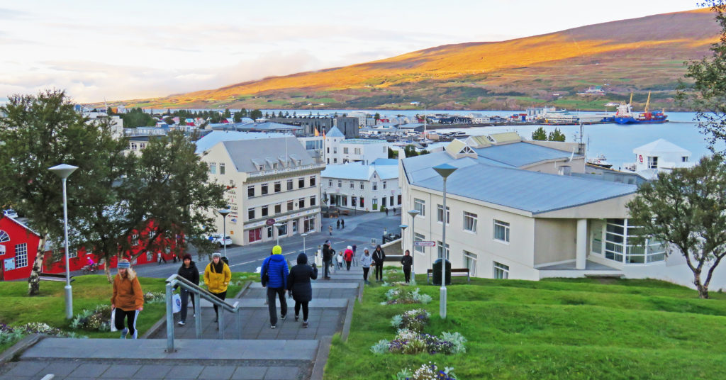
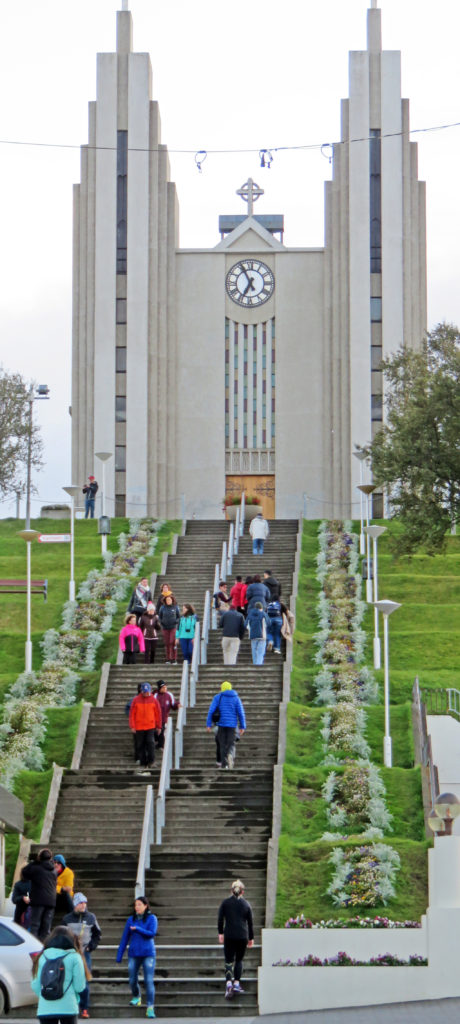
We were on the road once more passing through an area of rolling hills and farms, scrub brush, and trees! We passed several stands of pine trees that appeared to have been deliberately planted and were being managed. We then moved into an area with much higher mountains on both sides of the road wreathed in clouds. We arrived in the center of Akureyri, the second largest city in Iceland. It had a modern look. The tallest building was a large Lutheran church on a hill near the city center – not ostentations, but dramatic and the largest church we’ve seen so far; all others have been of a small, plain design with small steeples topped by crosses. We walked around a bit and had dinner in a local café. We toured a bookstore – neat with English and Icelandic books, local authors, translated best sellers. I walked up many flights of stone steps to the church and got a terrific view of the area.

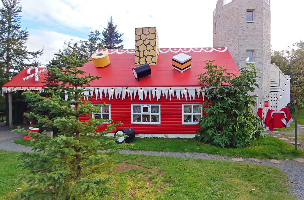
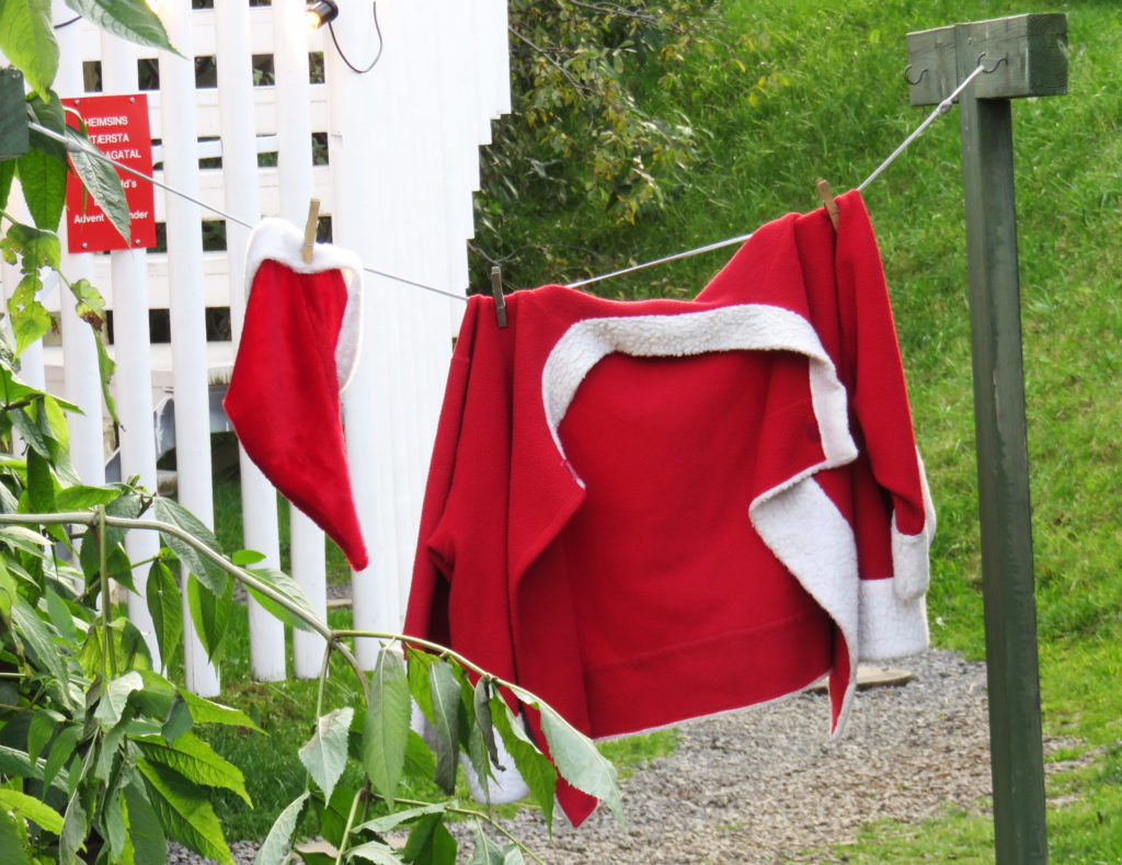
On our way to our hotel in Dalvik, a fishing village in North Iceland, our guide sprung a surprise stop on us at a “Christmas House”. The stop was in a somewhat isolated location outside of the nearest town and just off the road. It was one of those retail establishments that sells Christmas-related items all year and consisted of two buildings. One was a combination home and gift shop/farmer’s market outlet; the other was a large, red, two-story wood structure designed to look like Santa’s workshop, including a set of Santa’s clothing hanging out to dry.

Bless,
Kathy


Isolated volcanic desolation of the Icelandic Highlands.


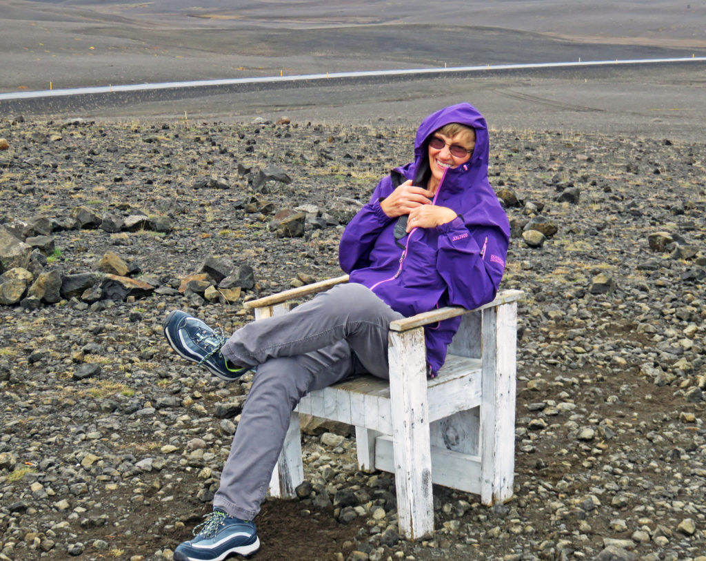
Kathy sitting out in the middle of “Nowhere”.


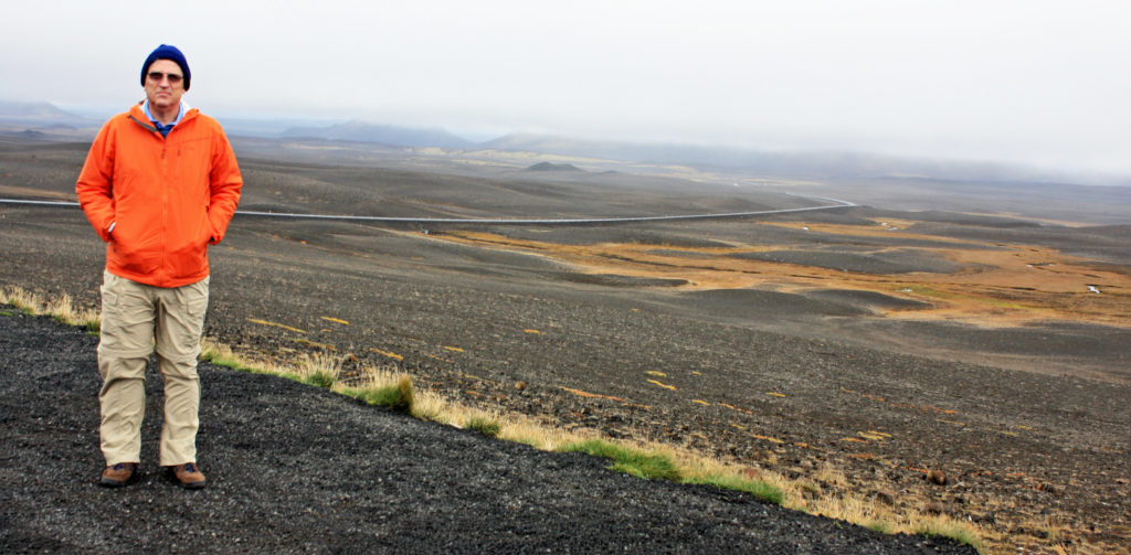
Rodge standing in the eerie moonscape of the Highlands.


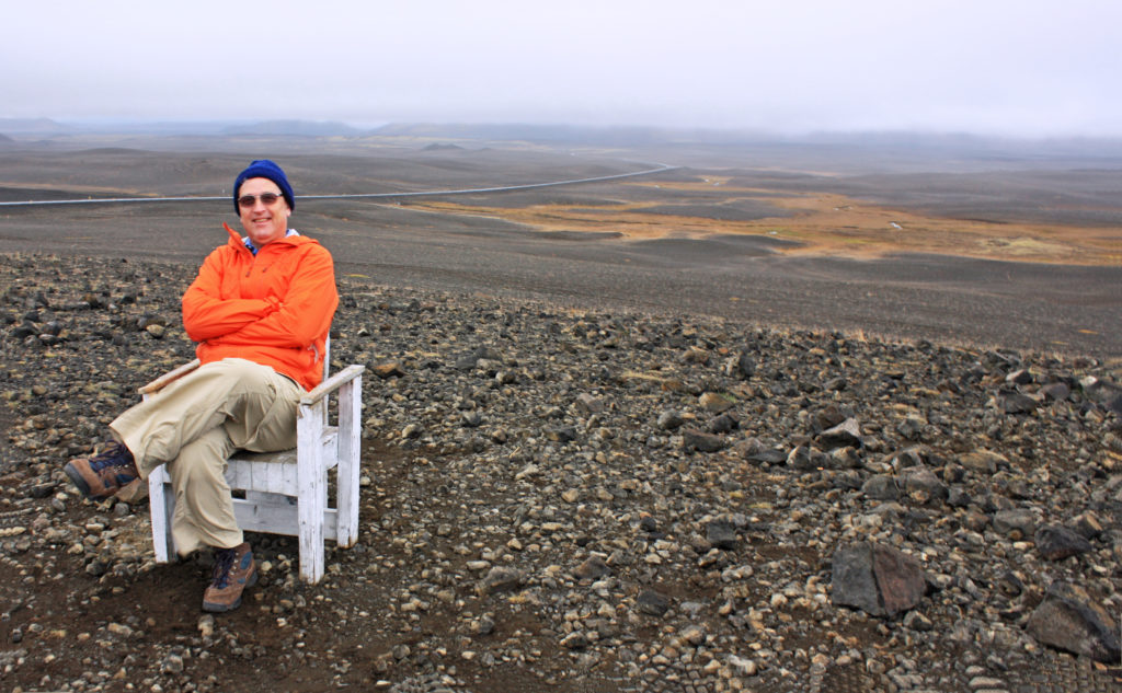
Rodge posing in an uninhabitable volcanic desert.


Dettifoss waterfall, the most powerful waterfall in Europe.


We were greeted by a thundering roar of water and a wet cloud of mist.


There is a vastness and a rawness to the nature of Dettifoss.


A brave tourist peers over the edge of Dettifoss.


A colorful hot water pool at Namaskard geothermal area.


Tourist standing at the top of Namafjall Mountain overlooking Namaskard.


Steam rising from a bubbling mud pot.


The colorful landscape was the result of the deposit of various sulfur crystals.


The fumarole looked like a stacked-rock oven hissing and spitting steam.


The area was barren with no vegetation due to poisonous fumes and acidic soil.


Lava pillars, caves and rugged rocks stand at Dimmuborgir Lava Formations.


Some of the rocks were sixty-five feet tall.


The area known as “Dark Castles” was formed about 2,300 years ago.


A view of Hverfjall volcano crater from Dimmuborgir.


Hyverfjall was created during a short but powerful eruption 2,800 years ago.


Tourists climbing up to the famous formation “The Church” .


“The Church” which is a cave, opens at both ends with a dome like ceiling.


Kathy walking along the Skjalfandafljot River to Godafoss Waterfall.


Godafoss the “Waterfall of the Gods”


Many tourists were closely competing vigorously for this year’s Darwin Award.


The turbulent white-water rapids of the Skjalfandafljot River.


We arrived in Akureyri, the second largest city in Iceland.


The tallest building was a large Lutheran church on a hill near the city.


A large, red, two-story wooden structure that looked like Santa’s workshop.


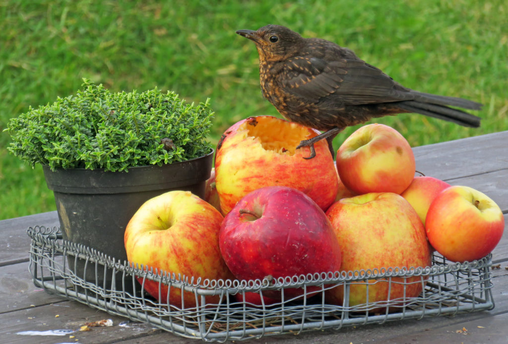
A tiny bird enjoys an afternoon snack of juicy apples.


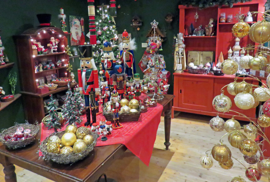
Tree ornaments and Christmas gifts on display inside the gift shop.


A set of Santa’s clothing hanging out to dry.


Be the first to comment

Exploring the Eastfjords!

Posted February 21, 2019 By admin


The small fishing village of Djupivogur (pop. 452) in the Eastfiords.


September 4, 2018

We were greeted by a drizzly morning. At 9 a.m. we got underway with our fearless leader and our seventeen other tour mates. Sitting in front of us was a newly engaged young couple from Richmond, Virginia who were medical students. There were a few other U.S. citizens in the group including a retired Navy supply officer who had served on one or two submarines. Others included a quiet elderly oriental couple from. Australia, a married couple from Malta, a lone Chinese woman, an older man from Germany, a very pleasant Chinese-American woman from Washington, D.C., and two groups of young friends. It proved to be an outstanding group of people with whom to tour. All were very nice and sociable and everyone was always on time.

Today was a leisurely day with many stops as we worked our way around the coast to the East Fjords of Iceland. We had to forgo a scheduled inland hike to Hengifoss waterfall because the area was too muddy and wet for hiking. We left Hofn and traveled through a short tunnel and continued in a northeast direction on the Ring Road (Route 1). We drove through many small fishing villages containing very few tourists compared to the “Golden Circle” and “South Coast” areas we visited during the first days of the trip. Only 3.2% of Iceland’s population lives in the East Fjords.

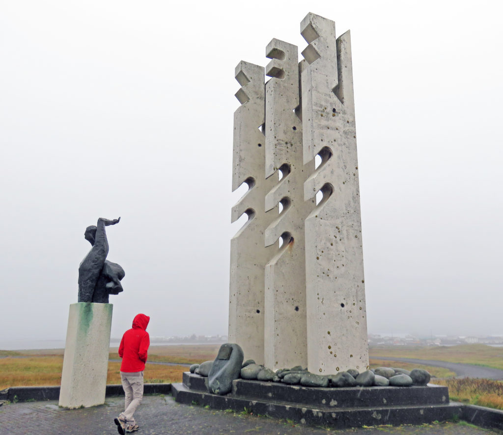
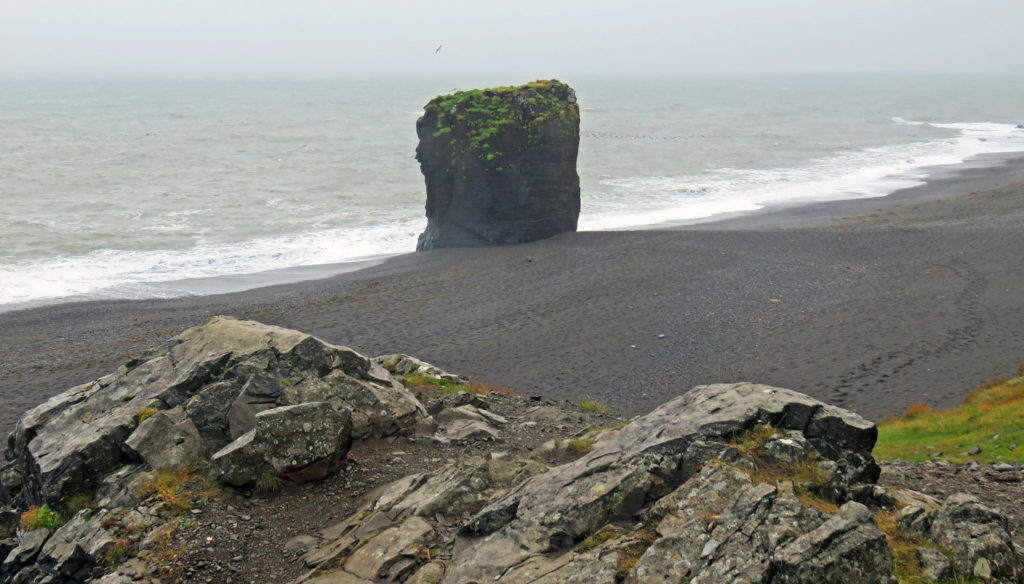
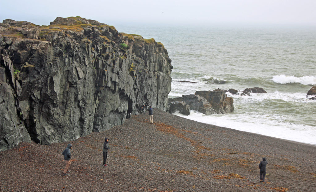
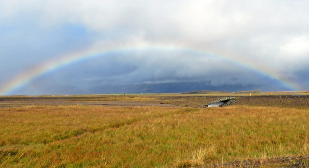
Many fishing villages had monuments to the fisherman who never returned. One village had a scale model of the solar system along a hiking path near their harbor. As we headed up the East coast we rode by dozens of small waterfalls cascading down hills, some comprised of dozens of steps. We stopped at a seashore beach where tall rock formations were scattered about. Around 10 a.m. the sun finally broke through the clouds and we were treated to a beautiful rainbow!

Soon Route 1 turned into a twisting, turning road flanked by the coast on one side and majestic mountain peaks on the other. We were weaving in and out of the fjords and Djúpivogur, the southernmost town in the East Fjords, would be our next stop. Rodge and I treated ourselves to hot chocolate and a muffin on our break. We walked around the small fishing village and took many photos of the picturesque harbor.

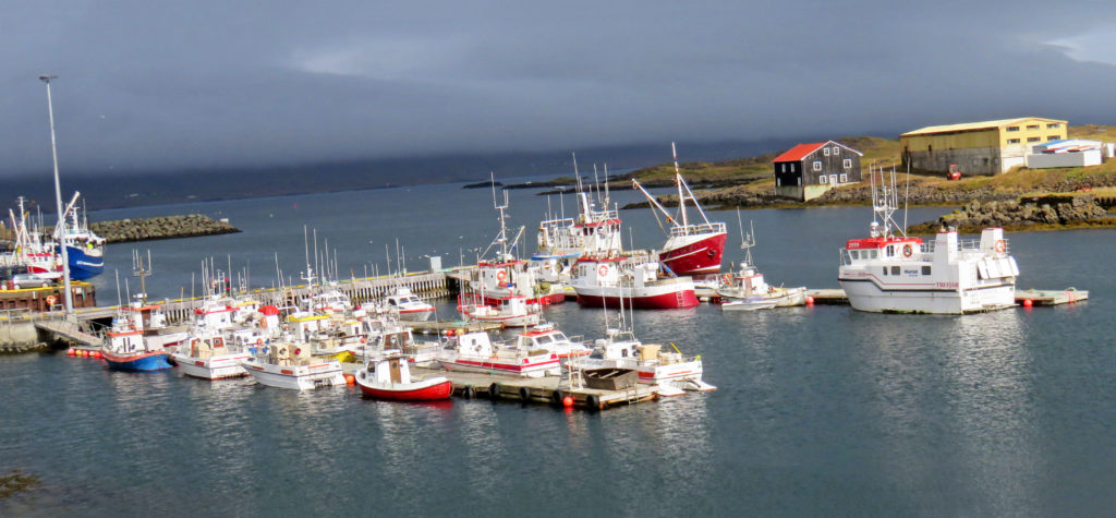
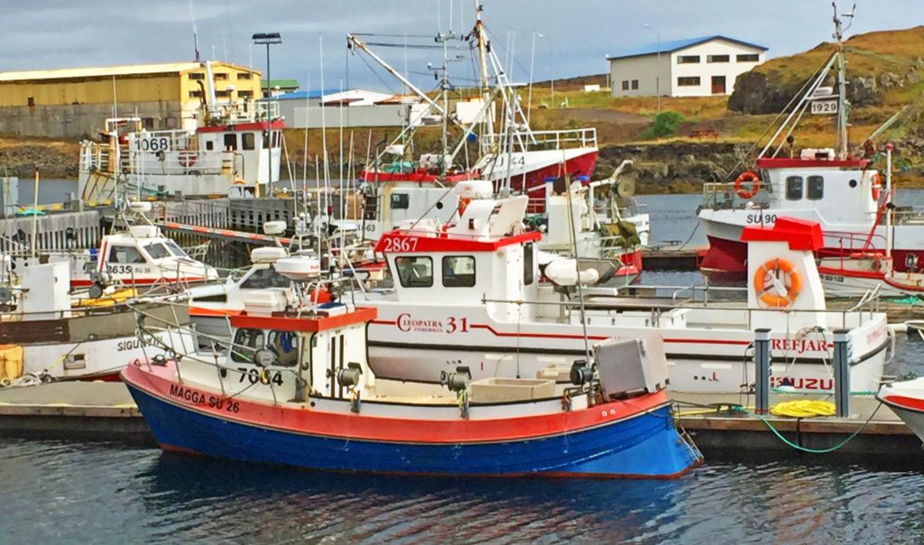
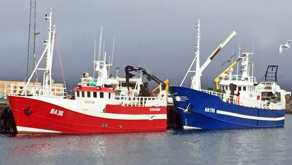
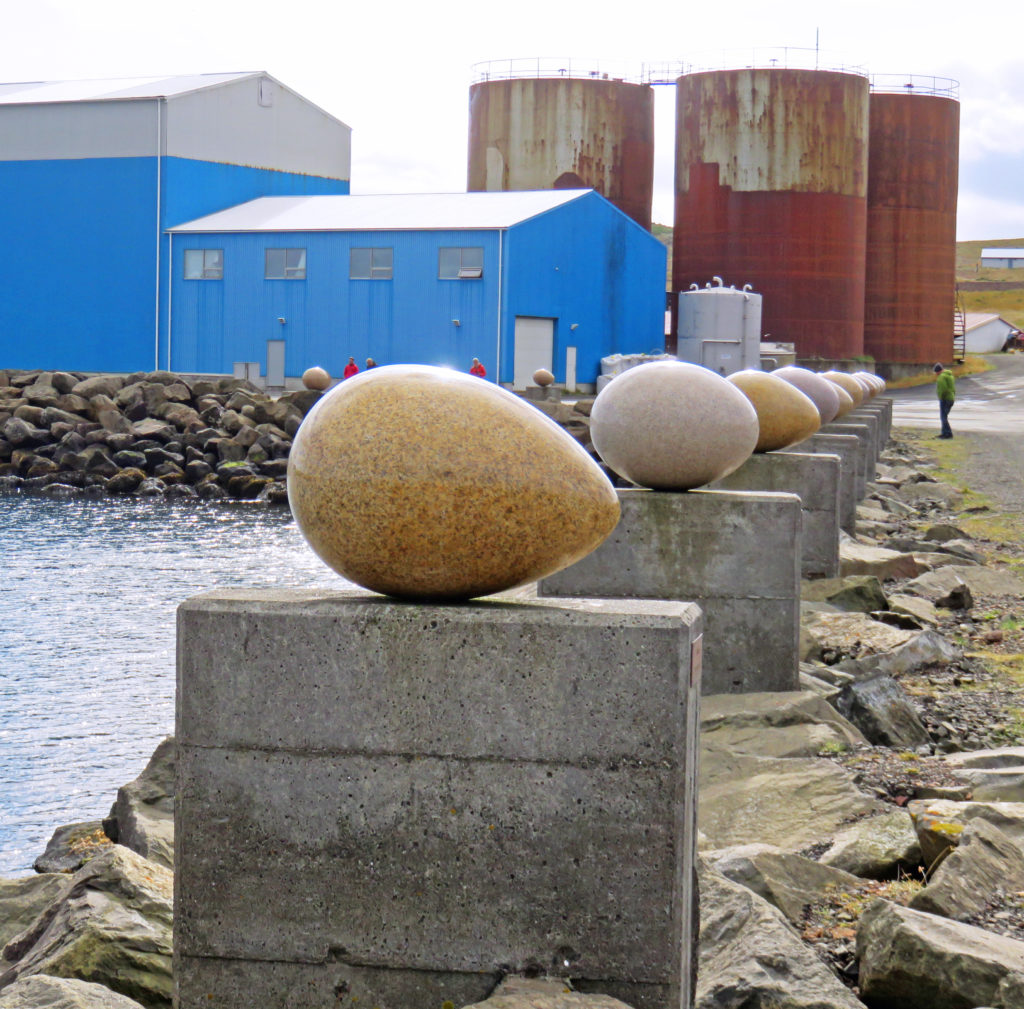
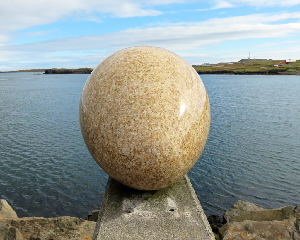
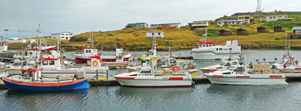
The small harbor was very well protected from the sea. Moored to the piers were a mix of one-man fishing boats and larger long-line fishing vessels that fish year-round. Our tour guide took us to a second harbor in the town where very interesting artwork was mounted on a portion of its perimeter. It consisted of thirty-four stone eggs on pedestals, one for each of the bird species found in town. They represented an amazing effort since the shape, color, and relative size reflected the unique characteristics of each species’ eggs.

The next place we visited was Teigarhorn farm, a world-famous site for zeolites. Zeolites are minerals that are usually created in the pores of basaltic rock and at Teigarhorn they were eroded from the cliffs on the coastline by the sea. The farm was designated a natural monument and nature reserve to preserve and maintain the natural conditions, especially in zeolite-rich areas, as well as to allow public access to the area. It is strictly prohibited to disturb or remove zeolite minerals, whether they are embedded in rock or lying loose. We hiked around the farm and down the cliffs to the sea. At the bottom of the cliffs we found the whole area covered with zeolites. There was a small mineral museum on the property but it wasn’t open for a tour. It was very windy and cold by the water but the views were amazing.

We continued our tour around the fjords until we came to the small town of Budir, also referred to as Faskrudsfjordur. Here we traveled through a 3.5-mile tunnel to Reyoarfjordur instead of traveling around a long fjord. This was one of several multi-mile tunnels that were scattered around the island’s perimeter. Most tunnels were driven through the volcanic mountains separating the fjords. Our guide remarked that until the tunnels were built, many of the fishing villages in the fjords were very isolated and reachable only by boat or a difficult over-mountain passage.

What made these dimly lit two-way traffic tunnels unusual, particularly for the non-native driver, was that they were only one lane wide. There were no traffic signals at either end to control entry. Traffic enters continuously in both directions. Inside, the tunnel widens to provide a turnout about every 200-300 yards for traffic heading counterclockwise around the island (the direction our tour was heading in). There were flashing lights immediately before each turnout to warn of oncoming traffic – a necessity since the tunnels were highly curved and the sight lines were typically only about 100 yards before the turnouts.

We ended up in the resort town of Egilsstadir, the largest community in northeast Iceland. The town was located at the north end of Lake Lagarfljot some distance from the sea. Our hotel accommodations were very modern. Our room key had to be inserted into a device inside the room to activate the master power switch for the entire room. At 6:30 p.m. we could have walked out in town to find a place to eat dinner but elected to have dinner in the hotel. We had had another great day along the Ring Road exploring the East Fjords. Tomorrow we would be heading to Akureyri in North Iceland.

Bless,
Kathy


Boats sitting in the harbor of a small fishing village.


A monument to the fishermen who never returned.


A seashore beach where tall rock formations are scattered about.


More huge rock formations along a beach.


The sun broke through the clouds and we were treated to a beautiful rainbow.


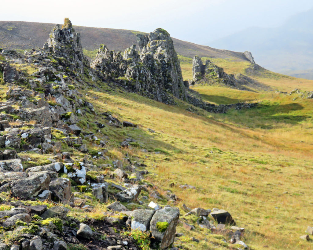
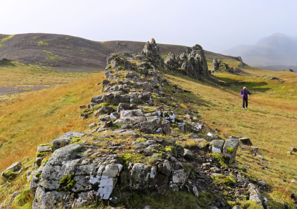
Small volcanic rock formations near our rest stop.


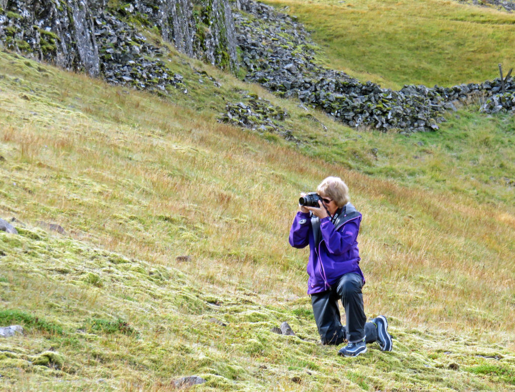
Kathy taking a photo.


Large rock spires jut out of the land.


Boats sitting in Djupivogur’s protected harbor.


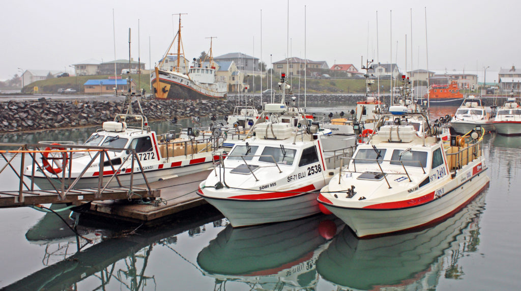
One-man fishing boats and larger long-line fishing vessels moored to piers.


Fishing boats shrouded in fog.


Unique seaside  artwork in Djupivogur harbor.


One of the 34 stone eggs on pedestals, one for each of the bird species in town.


The farm at Teigarhorn, designated a natural monument and nature preserve.


Walking down to the zeolite beaches at Teigarhorn.


At Teigarhorn the zeolites are eroded from the cliffs on the coastline by the sea.


Zeolites are minerals created in the pores of basaltic rock.


Looking up at the huge rock behind Teigarhorn.


Kathy standing above the sea cliffs at Teigarhorn.


A derelict boat picture at Teigarhorn.


Be the first to comment

Glaciers and Icebergs!

Posted February 15, 2019 By admin


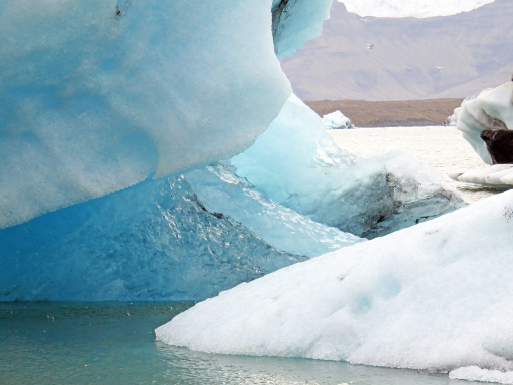
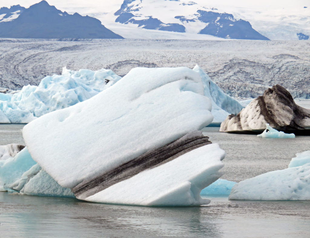
Nature’s stunning ice sculpture.


September 3, 2018

At 6:30 a.m., we were jump started by our alarm clock after a very restful sleep. I managed not to scald myself in the shower – it’s always fun to figure out how to operate European-style plumbing fixtures. It’s also considerate of the designers to incorporate a safety interlock to help prevent inadvertently selecting 100% hot water, which could be life threatening in Iceland given the fact that much of their domestic hot water comes directly from thermal springs.

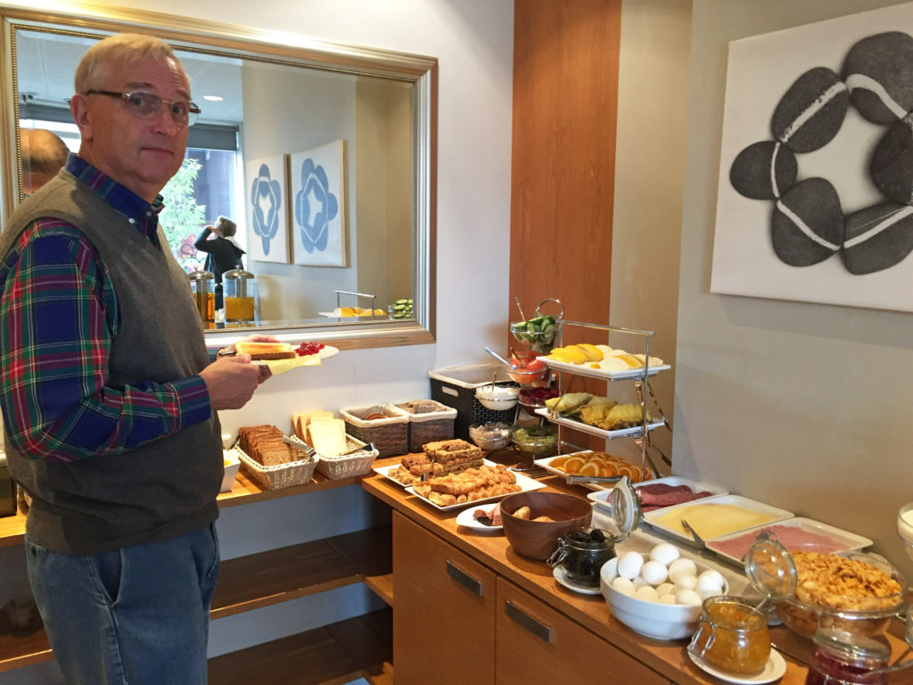
An hour later we ate a hearty breakfast in our hotel. The typical Northern European hotel buffet included cereals, jams, butters, cheeses, salamis, ham, scrambled eggs, sausages, yogurt, several types of bread, several types of rolls, pastries, fresh fruit, juices, milk, several types of coffee, salmon, etc. The sugar packages contained two lumps (cubes) – that turned out to be the standard wherever we ate.

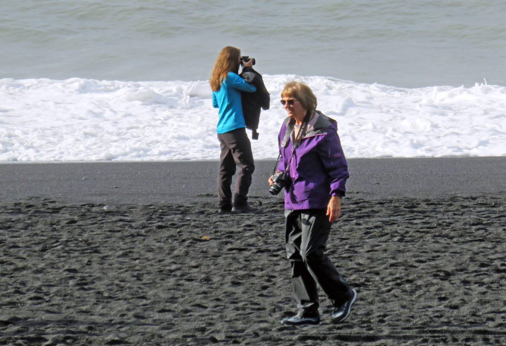
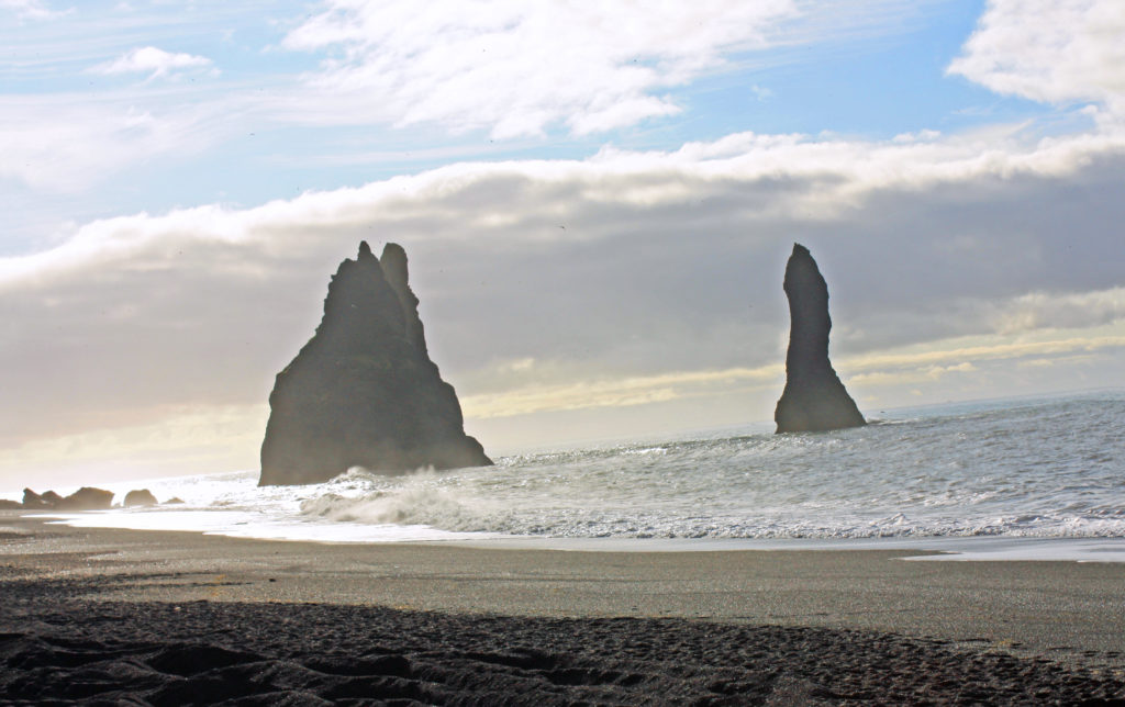
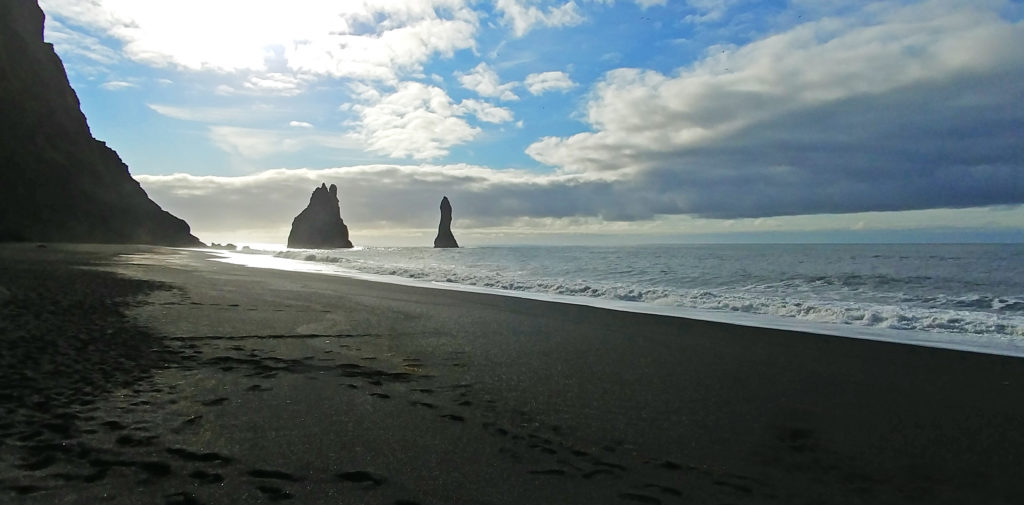
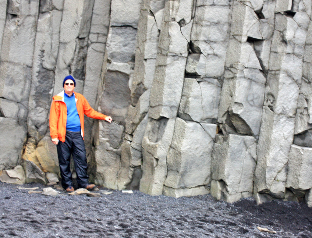
At 9 a. m. we climbed onto the bus. The gear we had donned for the day included many layers with the top being waterproof. That strategy worked out very well throughout the trip given the uncertainty and variability of Icelandic weather. On our continued journey along the South Coast, we arrived at Reynisfjara black sand beach. The beach was gorgeous and covered in coarse, jet black volcanic sand. It was very tough to walk in it due to the loose-packed nature of the sand. The beach was about 100-150 yards deep with portions backed by towering volcanic rock cliffs. Parts of the cliffs were comprised of huge vertical basalt crystals similar to those forming Devil’s Tower in Wyoming. On either side of the crystals were half-round caves. In one of the caves a crew was filming Game of Thrones, a television series on the HBO channel.

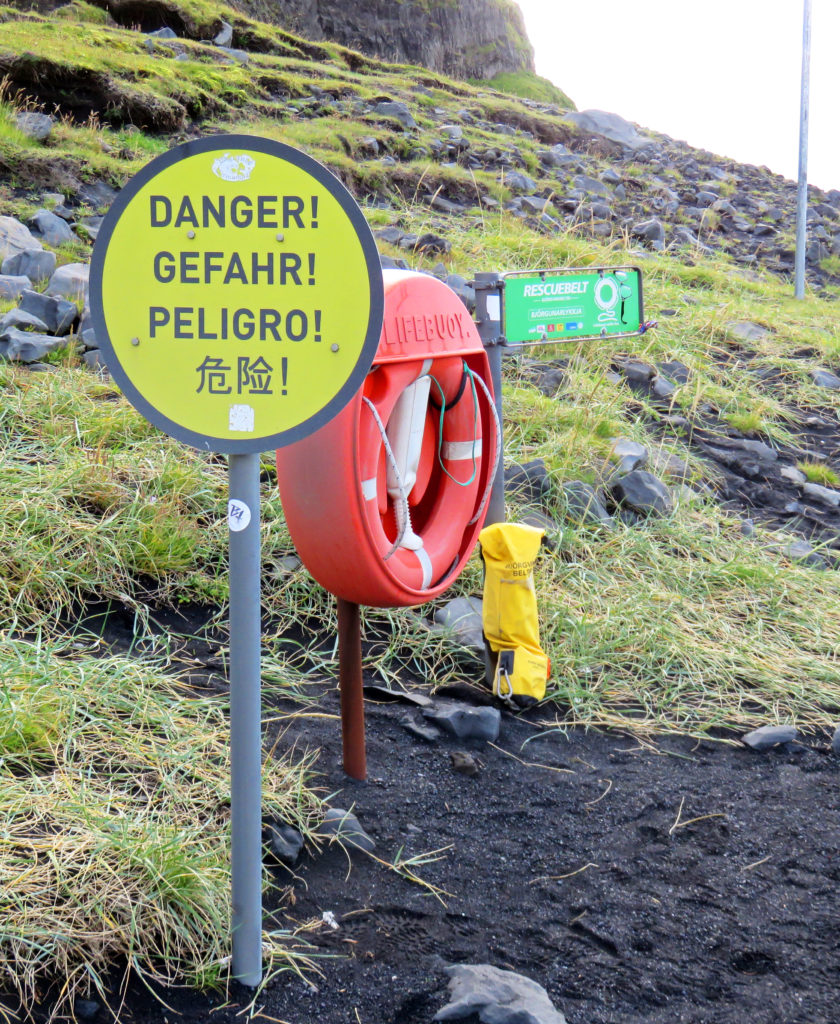
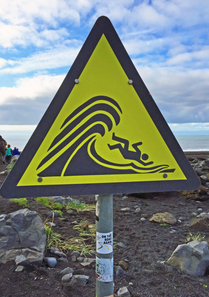
Looking out to sea, tall rock spires jutted out of the water. These were basalt formations–splintered columns of volcanic rock. The beach was striking and very dramatic. One had to be very careful not to get too close to the water because of the strong undertow and dangerous sneaker waves. There were lots of warning signs about the large waves that tend to hit the beach after a series of smaller waves. The sneaker waves routinely carry incautious tourists out to sea to their deaths. The warnings included a picture of a recent example of an unfortunate tourist engulfed in water who became one of those statistics. Our guide provided similar verbal warnings.

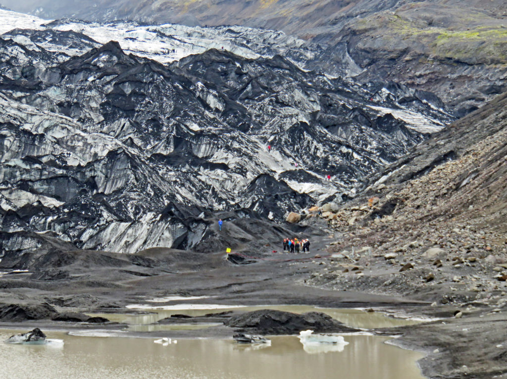
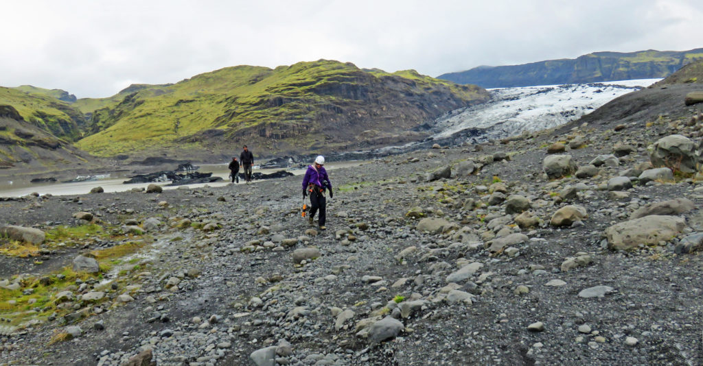
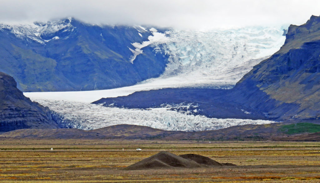
Our next adventure was a three-hour glacier hike on a Vatnajokull outlet glacier in Skaftafell National Park. Vatnajokull Glacier is the largest and most voluminous ice cap glacier in Iceland, and one of the largest in area in Europe. It has thirty outlet glaciers flowing from its ice cap. Outlet glaciers, are channels of ice that flow out of ice caps but remained constrained on the sides of the valley. We would have the opportunity to climb one.

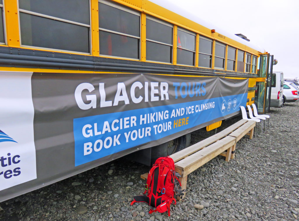
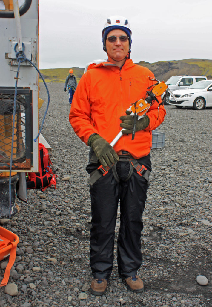
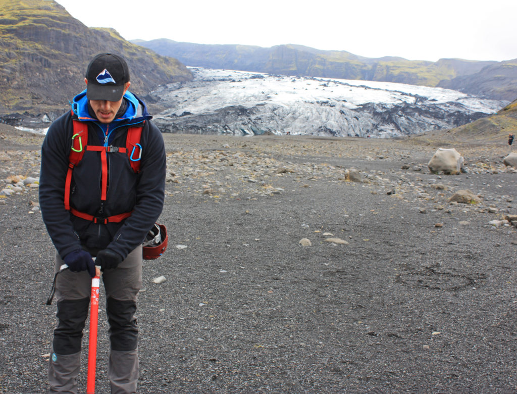
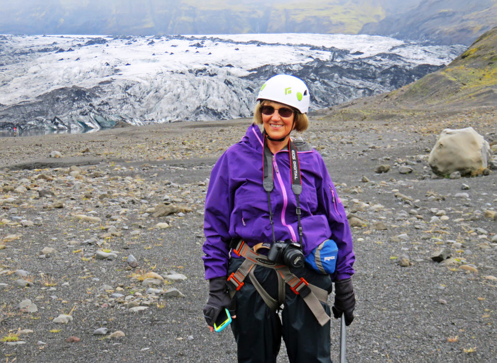
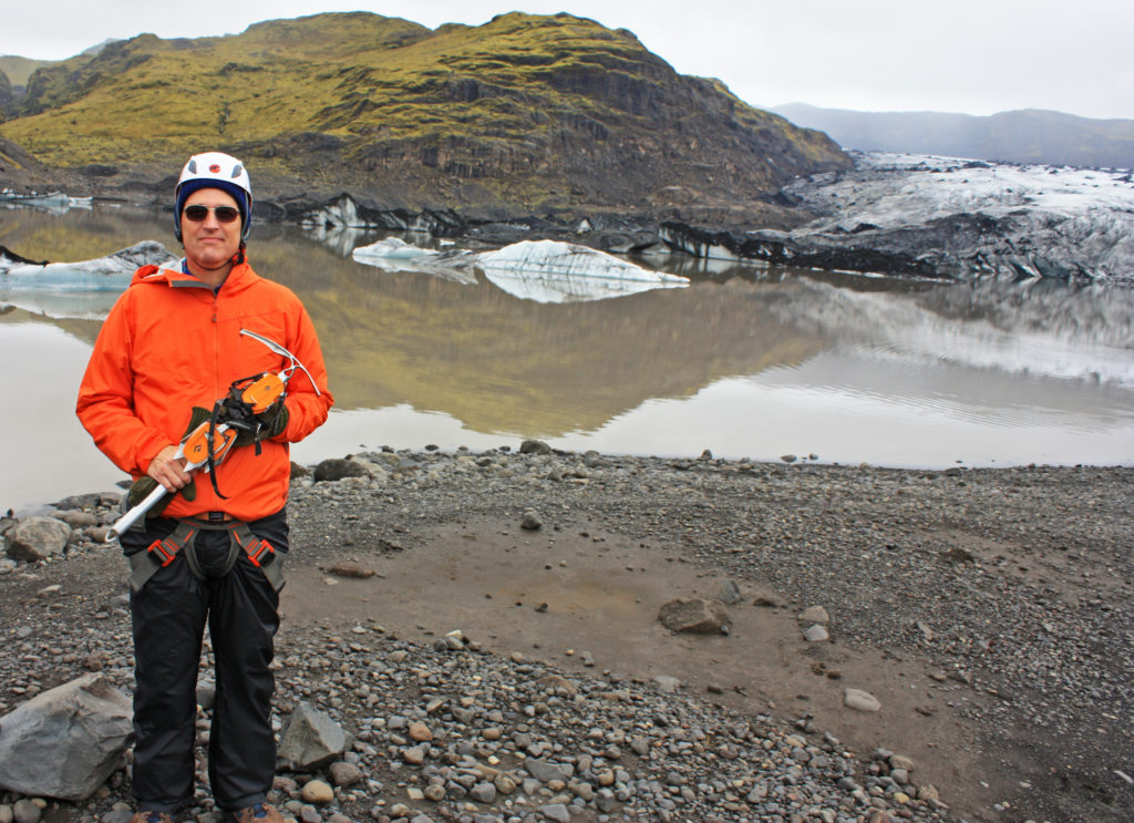
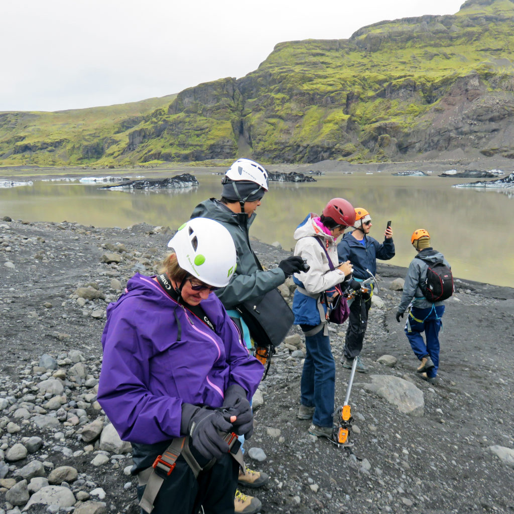
At 10:45 we arrived in a parking area where we climbed aboard an old school bus used by the outfitters to house their equipment. We got fitted for crampons and were issued the rest of our gear – ice axe, helmet, and harness. After exiting the back door of the bus, we donned our harnesses and helmets, were divided up into groups of about ten, and met our guides. Ours was a young man from Italy. Then we were off for our “three-hour tour”.

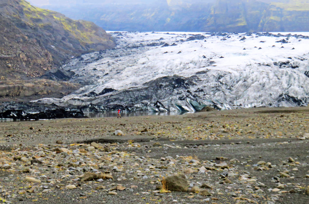
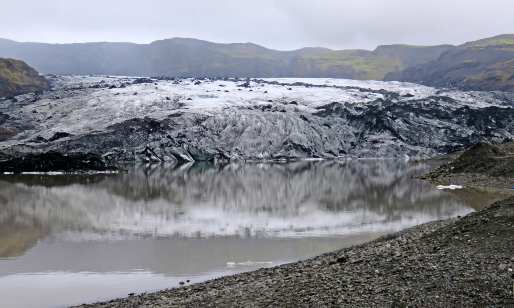
After a thirty-minute walk along the very wide gravel bed of the glacier’s outflow stream, we reached the foot of the glacier. Along the way we paused several times for photo opportunities. Our guide stated that the glacier had retreated one kilometer since 2010, sometimes moving back one meter per day. We moved quickly in single file through a relatively hazardous rock fall area. At the foot of the glacier we stopped to don our crampons. That proved somewhat arduous since we didn’t know what we were doing and the guide had to lead us slowly step-by-step through the procedure to securely lash the crampons to our feet with the crampon straps. Once that was done, we practiced walking with them and headed out up the glacier.

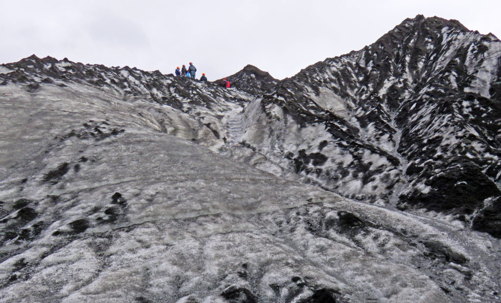
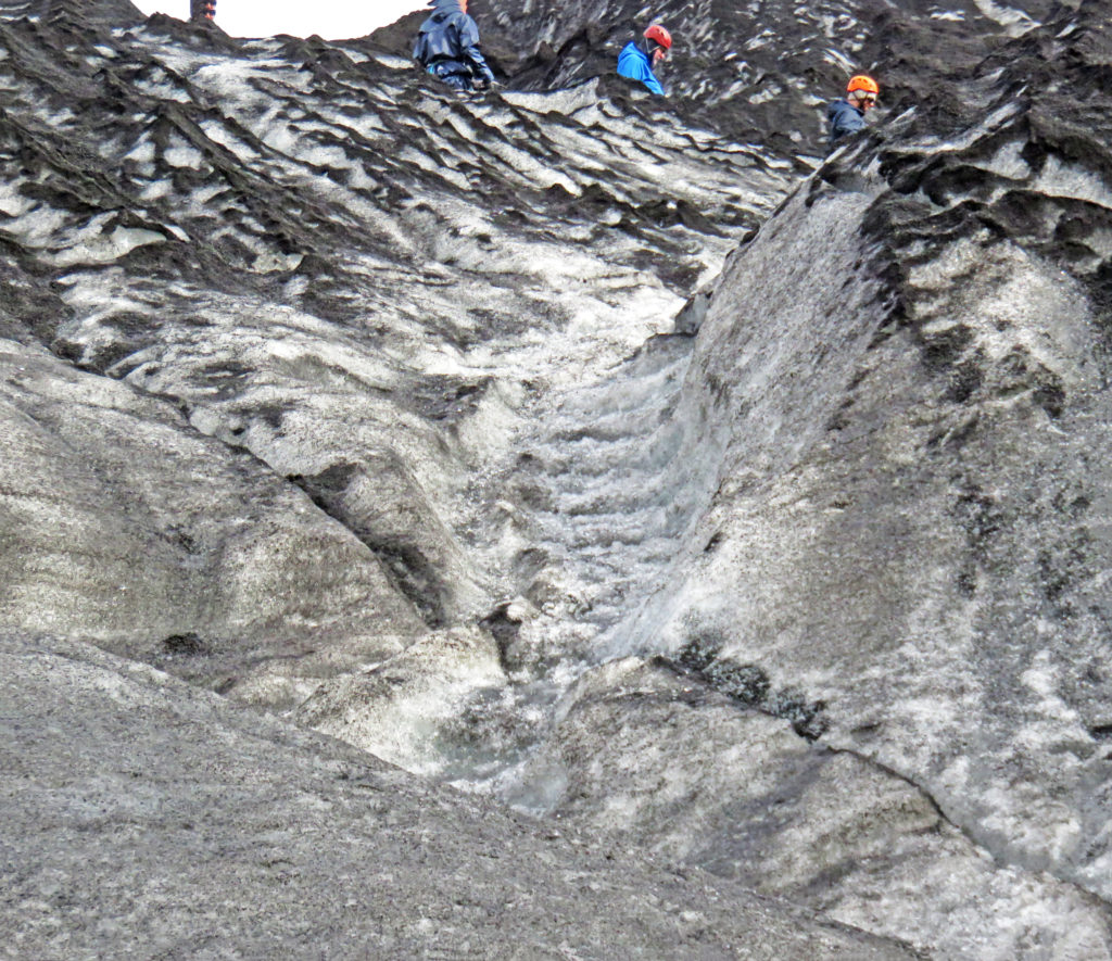
The going was slow as we walked single file. The trek proved more physically taxing than we expected, I think because in walking we were stomping our feet with every step to securely embed the crampon points into the ice. It was tiring. Half-way up the climb to the top of the glacier, I lost my footing and fell backward, landing on my butt and back and slid 8-10 feet back down the trail. All stop! The guide quickly came back, he and another climber helped me stand up, and they checked me out. I was OK (a few minor bruises revealed themselves later in the hotel) and none of my equipment was broken. However, my climb was done. I was pretty tired out and didn’t argue. Rodge elected to stay with me and forego the remainder of the climb.

In any event, we had indeed climbed on a glacier despite not doing quite as much as planned (check off that bucket list item!). Our group proceeded on up while we waited ten minutes to join up with a group coming back down. Our guide had radioed the situation and told us we would go down with a group led by a Swede with a big blond beard (an accurate description as it turned out, and he was great). We joined our new group and made it back down without further incident. Based on comments from that guide, members of his group had also experienced some problems along the way – at least one slight injury – that caused them to fall behind schedule.

We finally arrived back at the school bus where we dropped off our gear. As it turned out, we only missed about ½ hour of climbing time. We chatted with our Arctic Adventures tour guide and waited for the rest of our group to arrive back from the glacier. It was a quiet group that trudged its way back to the bus – all looked pretty tired out.

Our next stop was in the small town of Vik for lunch. Our guide told us that north of the town is located the active volcano Katla. It last erupted one hundred years ago in 1918 and was due for another eruption. All of the residents of the town had to participate in annual helicopter evacuation drills because when the volcano erupts it causes glacial flooding that inundates the land on which the town sits. We were told Iceland has 150 earthquakes per day. Yikes!

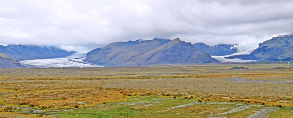
We were now underway again for a 2-1/2-hour drive to our next destination. Our trek would take us along the Ring Road through Southeast Iceland. We were once again traveling along the coast. We passed many glaciers coming off of the vast interior ice sheet glacier. To our right was the ocean. We drove on a wide, flat area that was seabed during the last ice age (after the ice age ended, the land sprung back up several meters as the weight of ice was removed). To our left was a high eroded sea cliff, the top of which was the beginning of the interior highlands. The flat area had scattered farms with hay and innumerable sheep scattered about the flat land and up the slopes. Farm homes and support buildings were typically tucked at the base of the talus or heights on the left. Avalanches and falling rocks must be a constant hazard, but the location probably provides protection from much of the winter winds.

Along the way we drove atop one of the largest lava flows in recorded history. There were miles and miles of strange, twisted, lumpy landscape – a very humbling sight. The stark landscape was the result of the eruption of the Lakagígar fissure which lasted for eight months in 1783. It’s poisoning of the environment killed half of the island’s livestock, destroyed most of the crops, and led to widespread famine in which about 25% of the island’s population perished. The eruption also had a significant impact on the northern hemisphere, producing a very severe winter in 1784 (e.g. the Mississippi River froze in New Orleans). We also passed the Eyjafjallajökull volcano, and its associated lava field, that halted all air traffic in Europe in 2010.

The road we were traveling on had many single-lane bridges. There were no traffic signals as one approached the bridges, just a warning sign in Icelandic and a single flashing yellow light on the right-hand bridge abutment. It was up to the drivers to proceed or not. The longest of the bridges had pullout sidings at the midpoint. Luckily, the generally flat topography along the coast and the lack of trees resulted in pretty long sight lines so seeing oncoming traffic that time of year was not generally a problem.

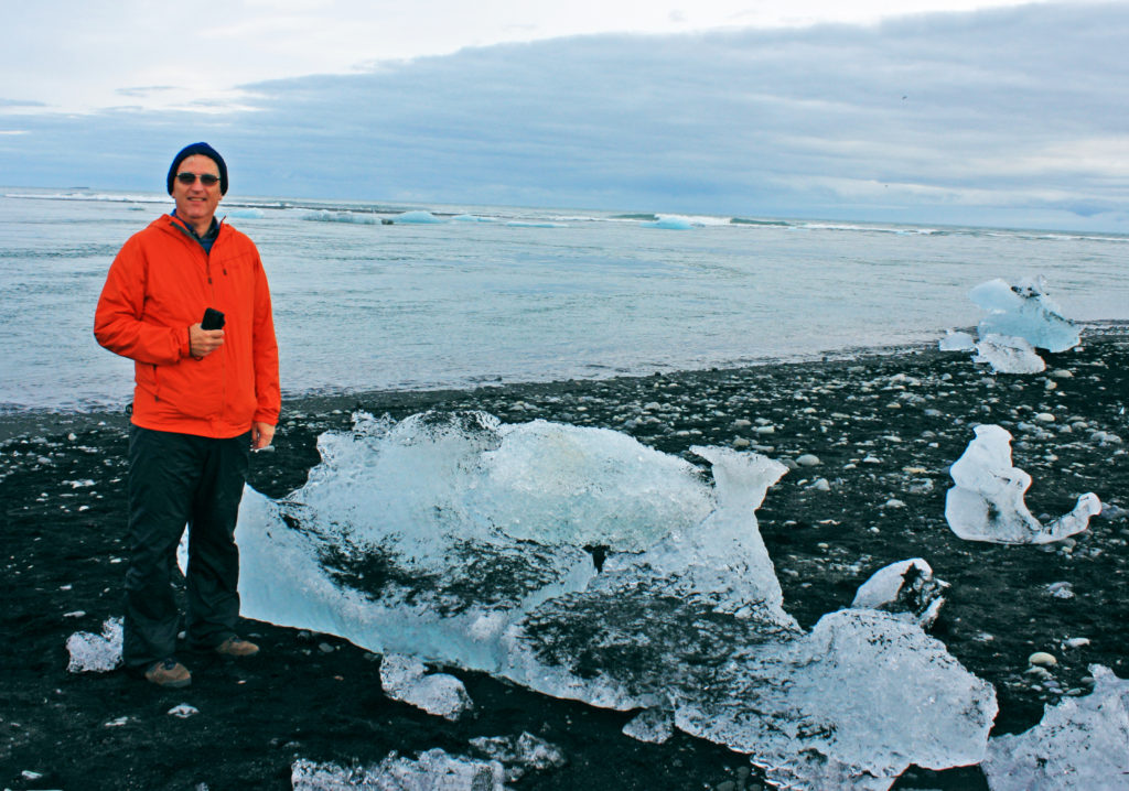
We finally arrived at our destination, “Diamond Beach”, another black volcanic sand beach at the outflow of a short glacial river. It was named Diamond Beach because the ice looked like glistening diamonds against the background of black sand. We walked along the beach and saw small stranded icebergs melting in the mild temperatures. We watched many small icebergs float by in the fast-moving current on their way to the sea. Several seals were hunting for food in the river. They appeared focused on their work with no time to pose for the tourists wandering along the shoreline.

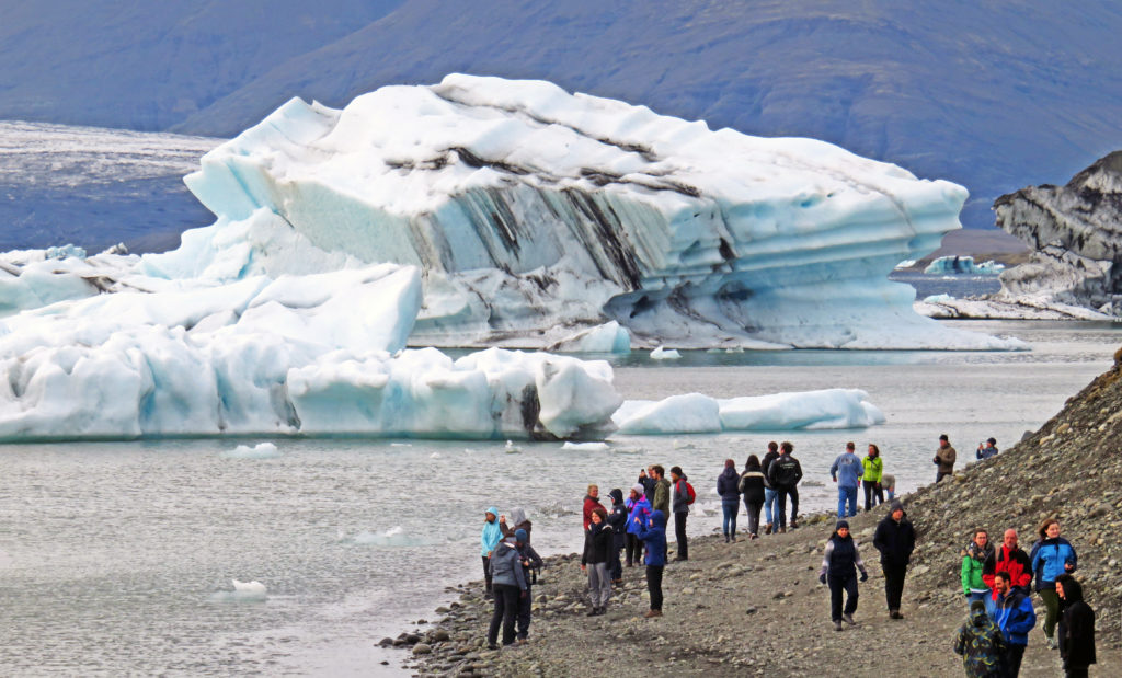
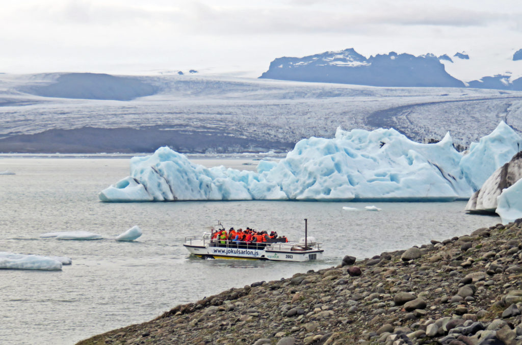
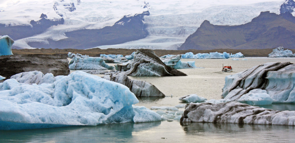
A half mile away we visited Jokulsarlon glacier lagoon. It was an enormous lagoon, 800 feet deep, filled with huge chunks of ice that had broken free from Breiðamerkurjökull, an outlet glacier of the famous Vatnajökull (the largest icecap in Europe). Our guide related that one day he watched a group of excited tourists exit their car and rush to see the iceberg-filled pool. Alas, they failed to set the parking brake on their car which is still at the bottom of the lake along with their passports. While we were there, the lagoon was very busy with companies offering kayaking and amphibious boat tours. It was truly gorgeous with many small bergs dancing within it. Although the air was very chilly with a brisk wind, the views were awe-inspiring.

It was 7 p.m. and time to head to our hotel. We arrived in the small seaside town of Hofn where we stayed at Hotel Smyrlabjorg. It was another country hotel with a magnificent ocean view. The hotel was started by a farmer and his family and is still a working farm that produces all of the lamb served in the restaurant. Lots of baa-ing was evident as we walked around the front of the hotel. That night we ate as a group in the hotel restaurant and all enjoyed the outstanding food and each other’s company.

Bless,
Kathy


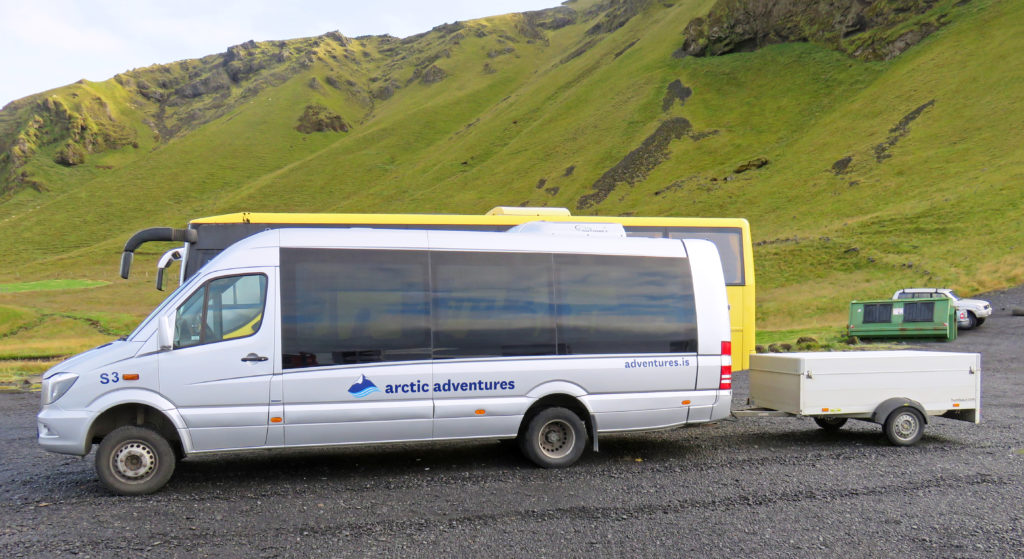
Our Artic Adventures van welcomes us to a new day on the road.


Kathy walks on Reynisfjara black sand beach.


Danger sign and life guard buoy for sneaker waves.


Sneaker wave sign.


Towering volcanic rock cliffs rise out of the sea.


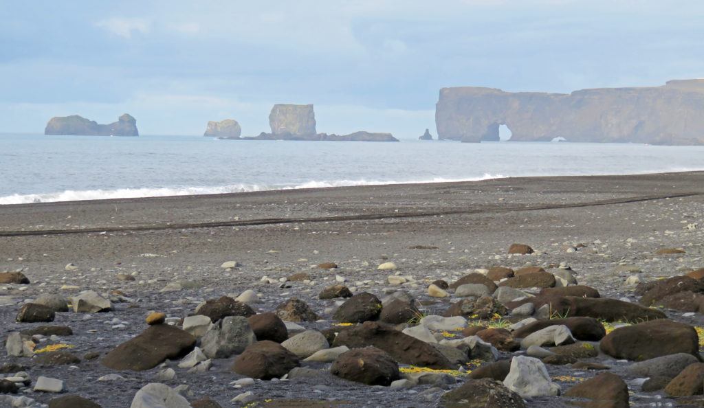
In the distance one can see a natural sea arch and off shore rock formations.


Rodge, striking a pose on Reynisfjara black sand beach.


More early morning sea views.


Rodge standing near towering volcanic rock cliffs.


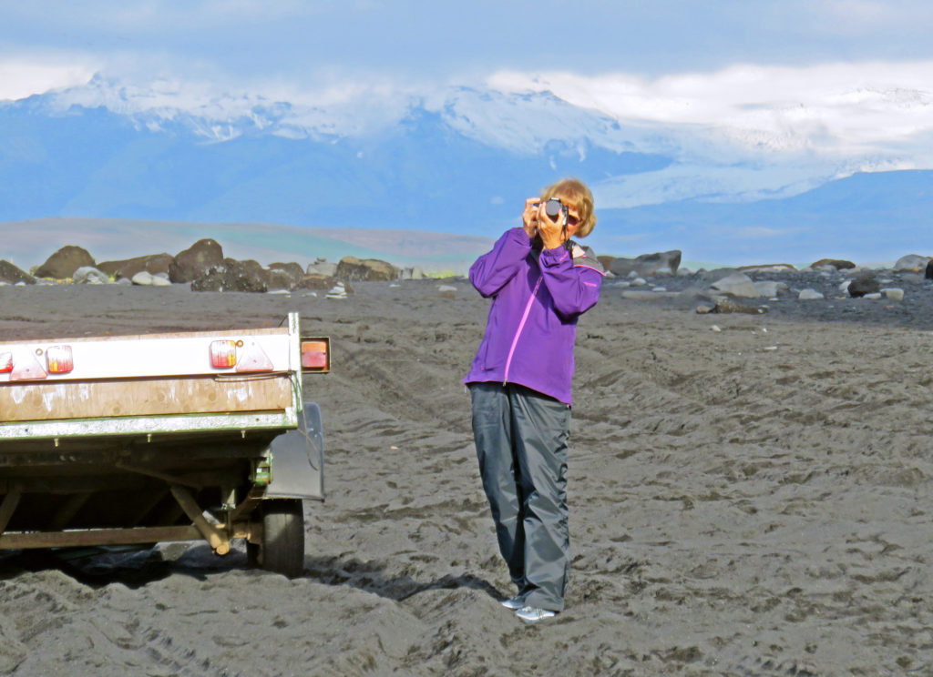
Kathy taking a photo of the beach.


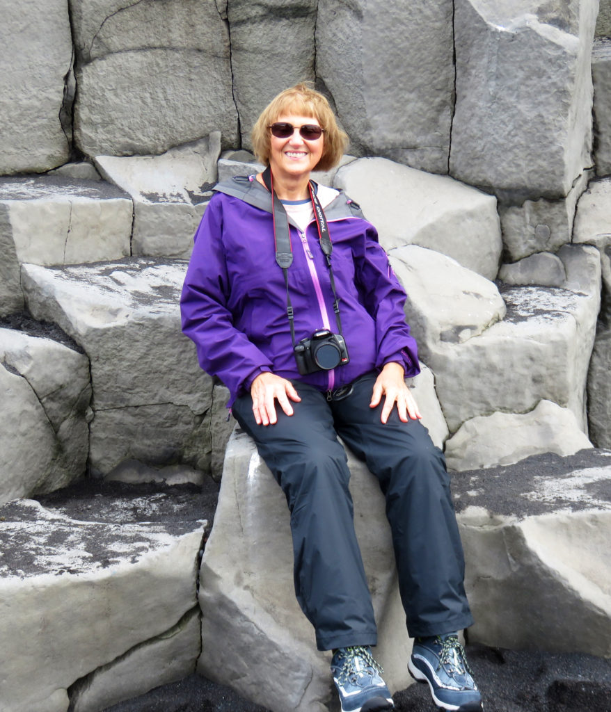
Kathy sitting near the basalt cliffs.


Glacier Tours outfitter bus.


Rodge ready to hike the glacier.


Our glacier tour guide from Italy.


Kathy all ready to go.


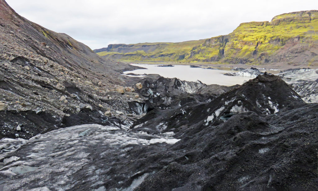
The wide gravel bed at the  foot of the glacier.


A small lake formed by the glacier’s outflow stream.


Rodge ready to take on the glacier.


We learn to put on our crampons.


We will be climbing up the side of the glacier to the top.


Another tour group ahead of us.


A view part way up the glacier.


The icy stairs where I took a tumble.


My crampons are off…my bucket list checked off!


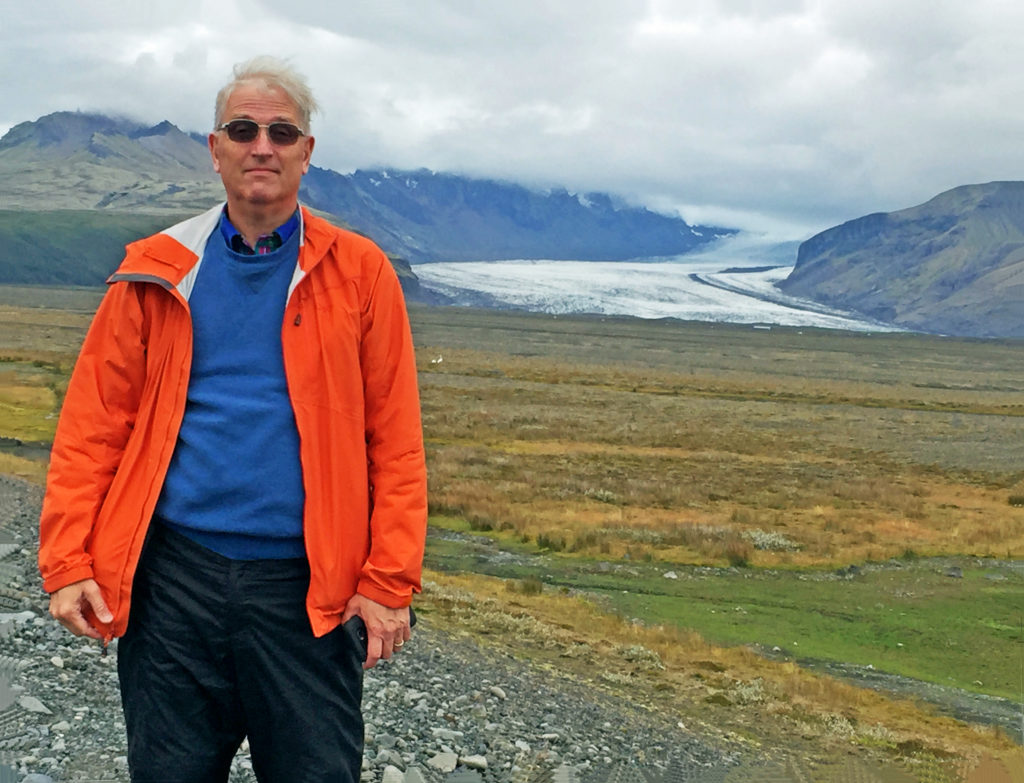
Rodge posing with a glacier.


A view of a glacier divided by a huge rock formation.


“Hang Ten” Iceland style!


The ice looks like glistening diamonds on Diamond Beach.


Jokulsarion glacier lagoon filled with chunks of ice.


People get ready to leave on a boat tour of the lagoon.


The huge ice chunks in the lagoon have broken free from the distant glacier.


The glacier in the background formed this humongous ice chunk.


Be the first to comment

Iceland: The land of Fire and Ice!

Posted February 12, 2019 By admin


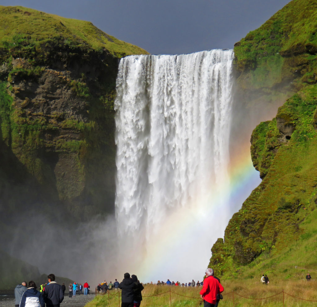
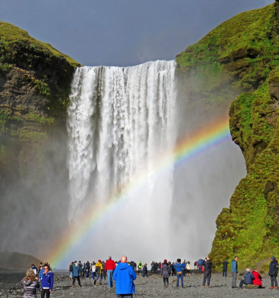
We were mesmerized by the beauty of Skogafoss and its magnificent rainbow.


September 2, 2018

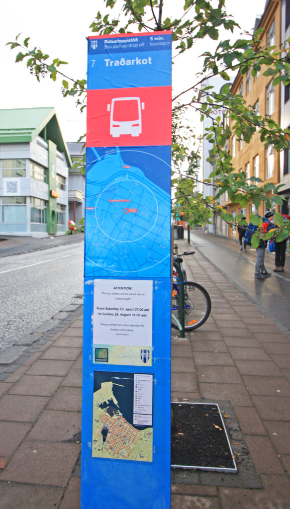
It was the first day of our Artic Adventures Tour around Iceland’s Ring Road. We awoke at 6 a.m. and after a hearty breakfast in the hotel we walked a block to Bus Stop # 7 to wait for our tour bus. At 8:20 a.m. a nineteen-passenger bus bearing the “Artic Adventures” logo and towing a small trailer pulled up. We were greeted by our guide, a tall, robust, somewhat weathered man of fifty, who would be our guide for the week. Over the course of the next few days, we would learn quite a bit about him in snippets.

Although he and his family currently lived about a forty-five minutes north of Reykjavik, he was born and raised in a small fishing village in northwest Iceland. His family had been in Iceland for the last 1000 years. After finishing school, he fished on many vessels until he eventually served on and captained a large vessel (100-150 foot) that remained at sea for weeks at a time. He later obtained his masters license and served as the captain of a small touring vessel that plied the waters around Norway, Great Britain and Iceland. For the last few years he worked year-round as an Iceland tour guide. Both his English and his skills as a tour guide proved excellent. His driving prowess and ability to maneuver the bus and its attached trailer were akin to that of a mountain goat navigating a hillside.

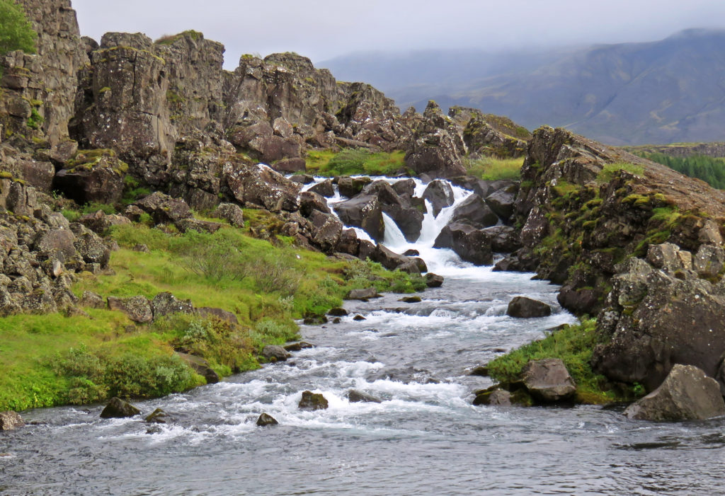
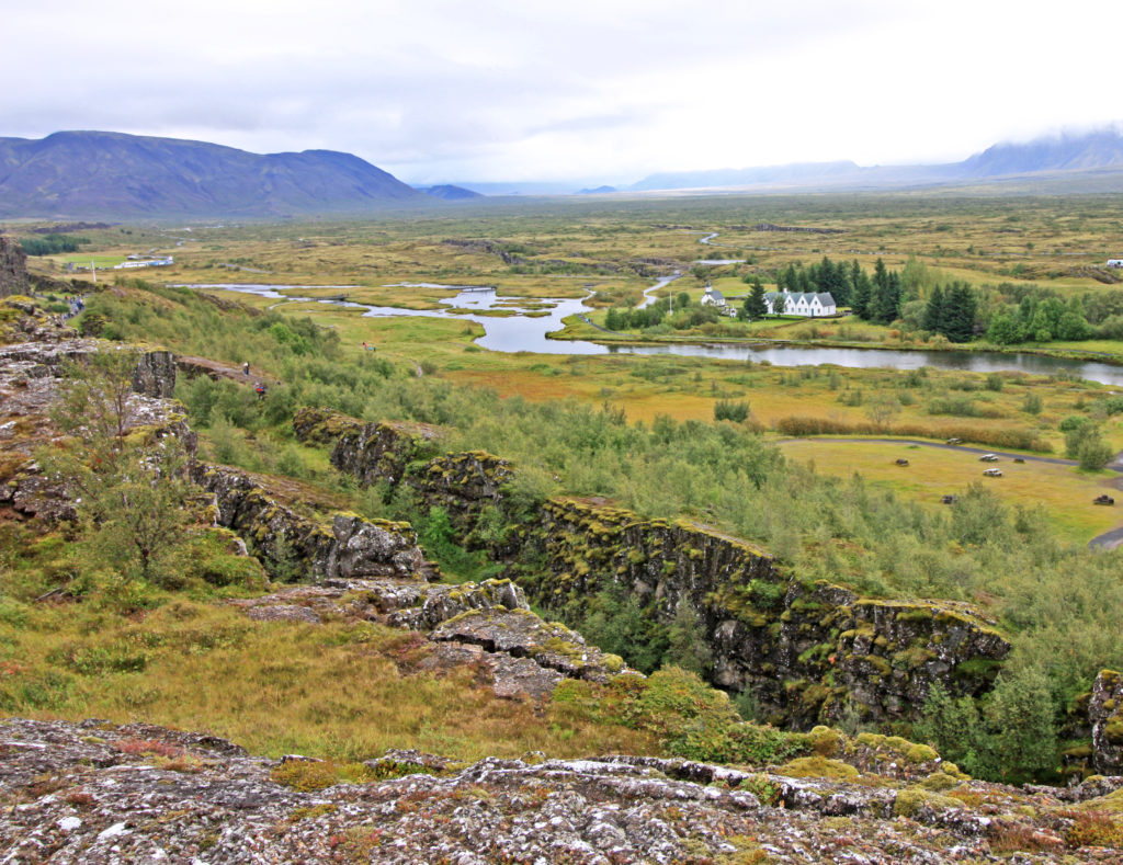
With our luggage loaded and all nineteen of us aboard, we headed out for our seven-day excursion. Our trek would take us in a counter clockwise direction around the perimeter of Iceland on the 800-mile long Ring Road.The first area we explored was the Golden Circle, an area east of Reykjavik. After riding an hour, our first stop was Pingvellir National Park, a UNESCO World heritage Site. Its dramatic gorge marked the pulling apart of the Eurasian and North American tectonic plates and historically it was the area where in 930 AD the Icelandic people established their parliament.

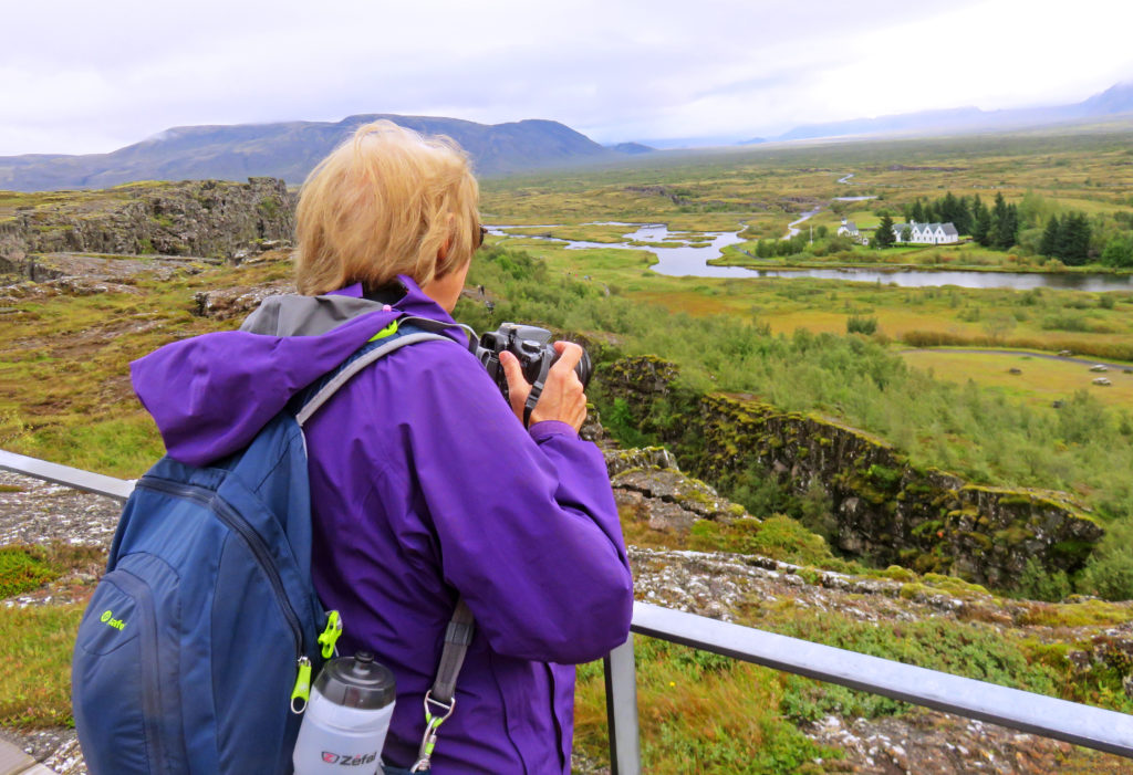
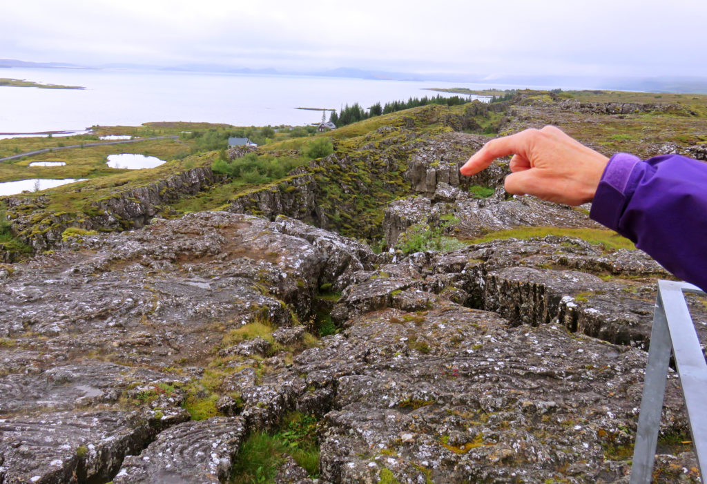
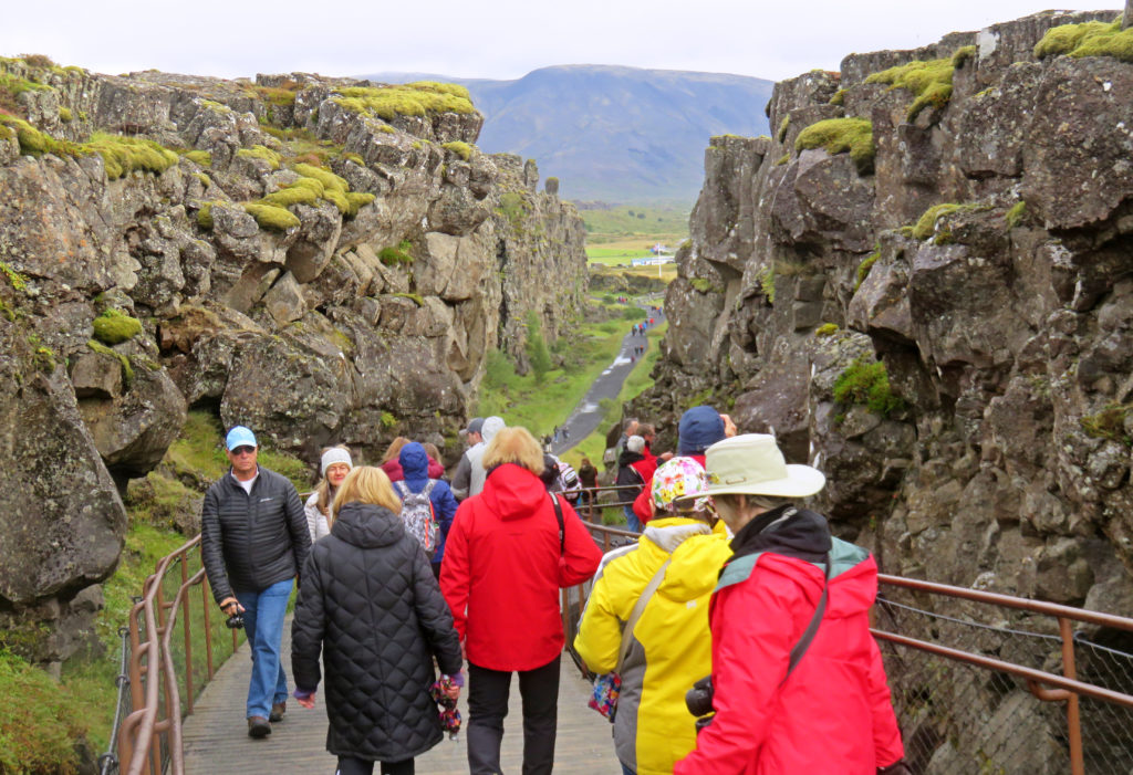
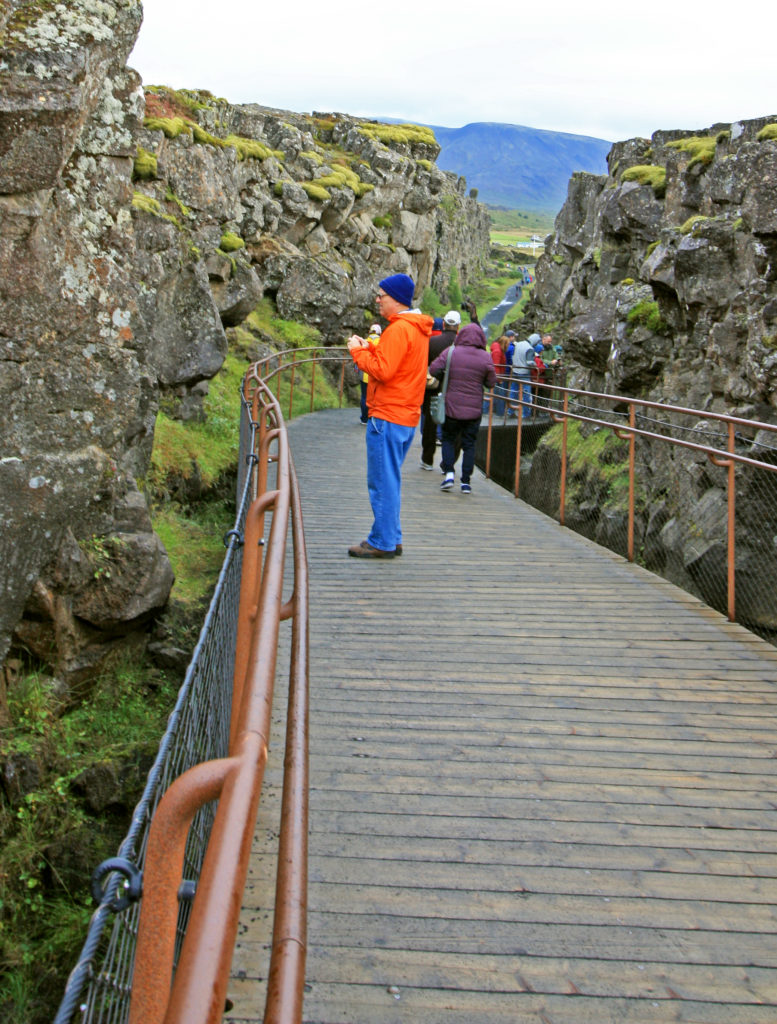
We pulled up to the Visitor Center and walked to a viewing platform which overlooked the Pingvellir Rift Valley. In the distance we could see Pingvellir Lake and beautiful rock features littered with ravines, many of which were filled with crystal clear spring water. We walked along the edge of the North American Plate by weaving our way through the Almannagia Gorge. Along some parts of the gorge we could see across the valley to the Eurasian Tectonic Plate. The plates continue to move apart at 2.5 cm. a year.

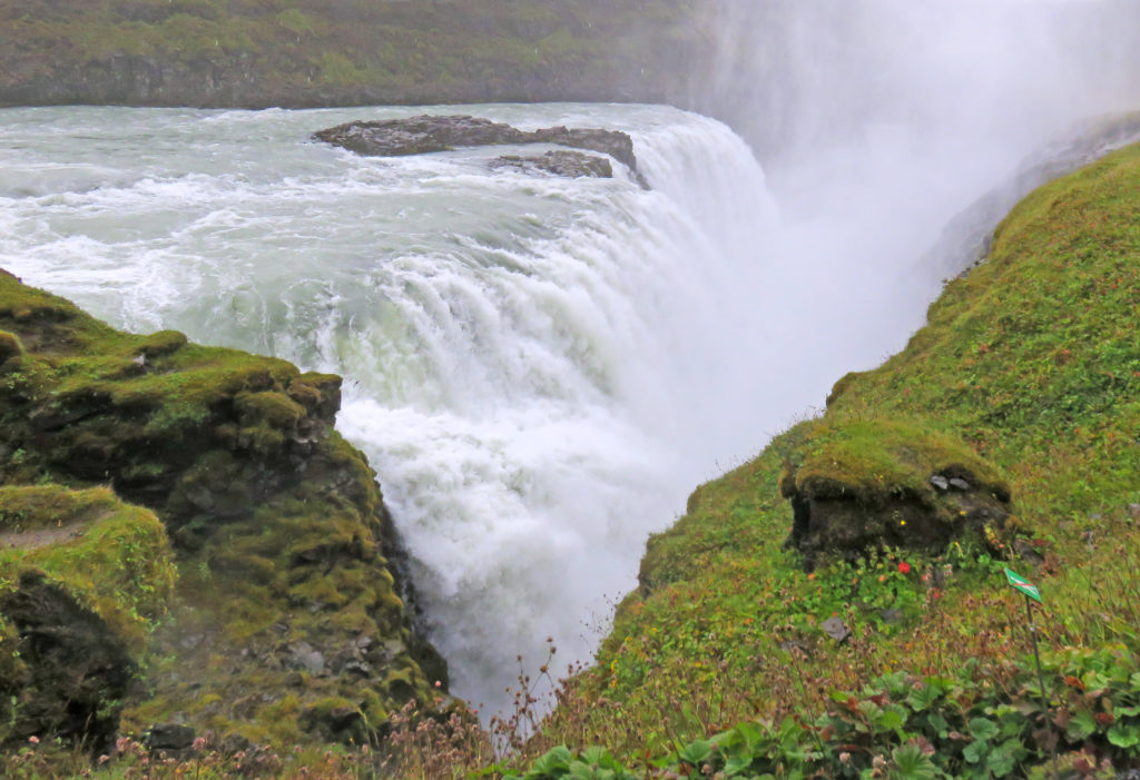
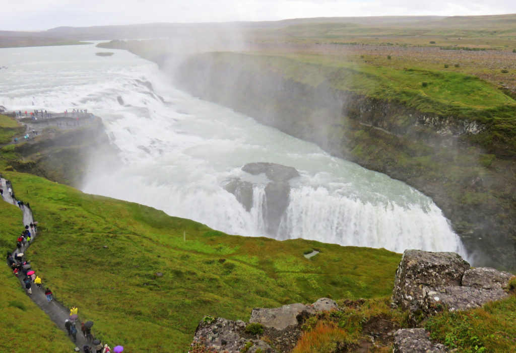
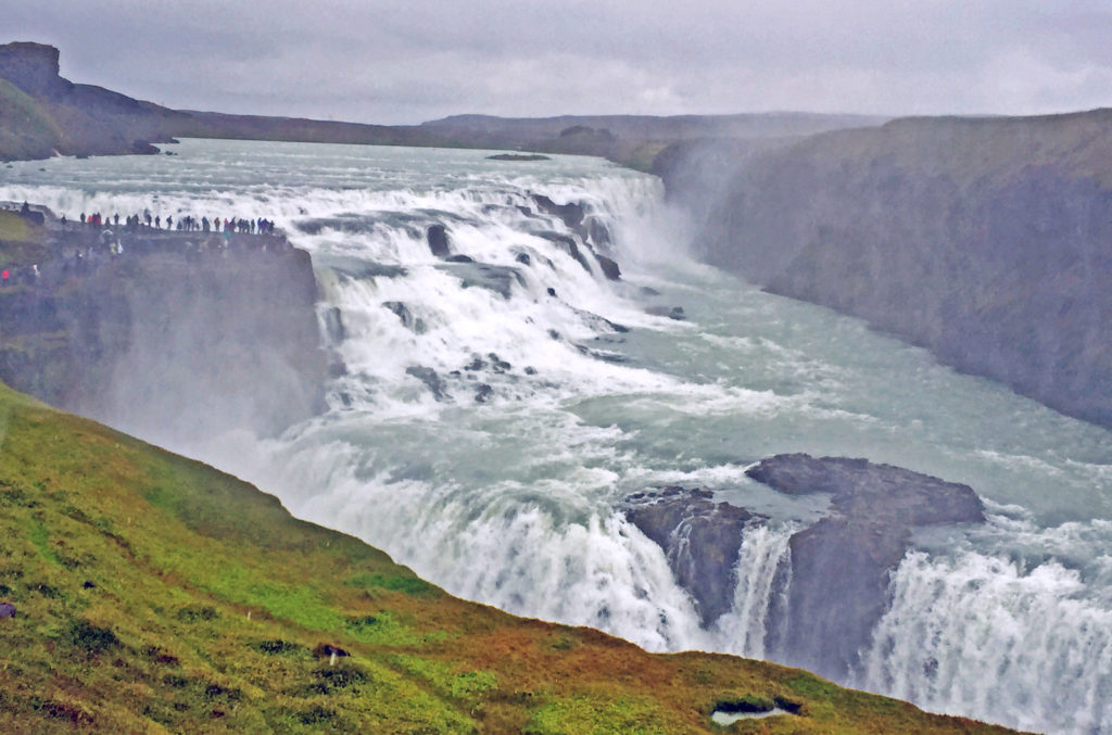
Our next Golden Circle discovery was Gullfoss waterfall or “Golden Waterfall”. As we approached the falls from a footpath, we could hear the roar of the water and see a sparkling cloud of mist. The breathtaking waterfall is fed by the Hvita River which is created by Iceland’s second biggest glacier, the Langiokull. The two-tiered waterfall plummets thirty-five feet into a narrow gorge which is seventy feet deep and 1.5 miles long. We stood on the lower viewing platform and were mesmerized by the sheer power and beauty of the cascading water.

The next area to explore was Iceland’s beautiful, rugged South Coast. After driving for ninety minutes we arrived at our first destination, Seljalandsfoss Waterfall. Like most waterfalls in Iceland, Seljalandsfoss was also fed by a glacier. The melting waters from the glacier-capped Eyjafjallajokull volcano flowed to form the Seljalands River which then cascaded 213 feet over steep cliffs into a pretty meadow.

There was a footpath which ran along the bottom of the cliff and allowed access behind the waterfall. We decided not to hike there because we didn’t want to get drenched by the drizzle. It is the only known waterfall in Iceland where it’s possible to walk behind the falling sheet of water.

As we continued west along the South Coast, we had the sea on one side and on the other side a flat stretch of land about three miles wide bordered by dramatic cliffs running parallel to the sea. We rode by beautiful bright green meadows dotted with wooly sheep. Sheep were grazing everywhere even on the highest cliffs.

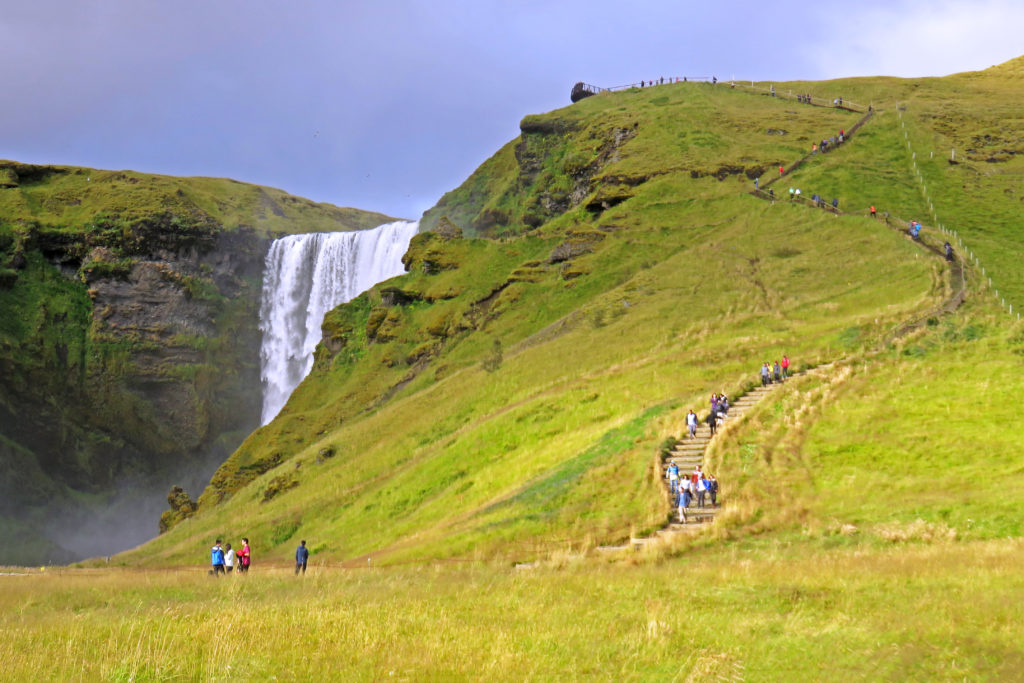
As we approached our next waterfall, Skogafoss we were mesmerized by its beauty and the magnificent rainbow encircling it. We immediately jumped off the bus and ran to capture a picture. The sound of the roaring cascade was deafening. As we walked closer to it, we were drenched in a cloud of spray. The falls, formed by the Skogar River, dropped 200 feet to its bottom. A staircase (527 steps) led up to an observation platform above Skogafoss where you could view not only the waterfall but south Iceland’s coastline.

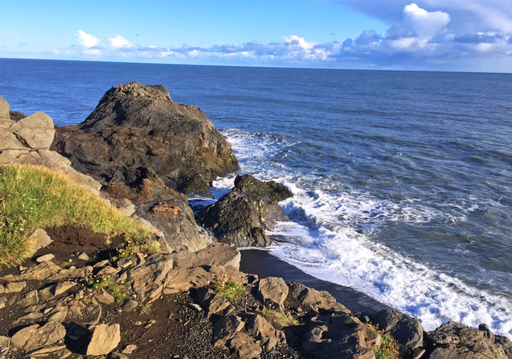
Our last stop of the day was Dyrholaey Promontory, a peninsula on the south coast famous for its lighthouse, natural sea arches, picturesque off shore rocks and sweeping views of black sand beaches. We walked up to an overlook and spent time bonding with the natural beauty of the sea. The promontory also served as a bird sanctuary. In the summer, many Atlantic puffins and Arctic terns could be found nesting on the cliff faces.

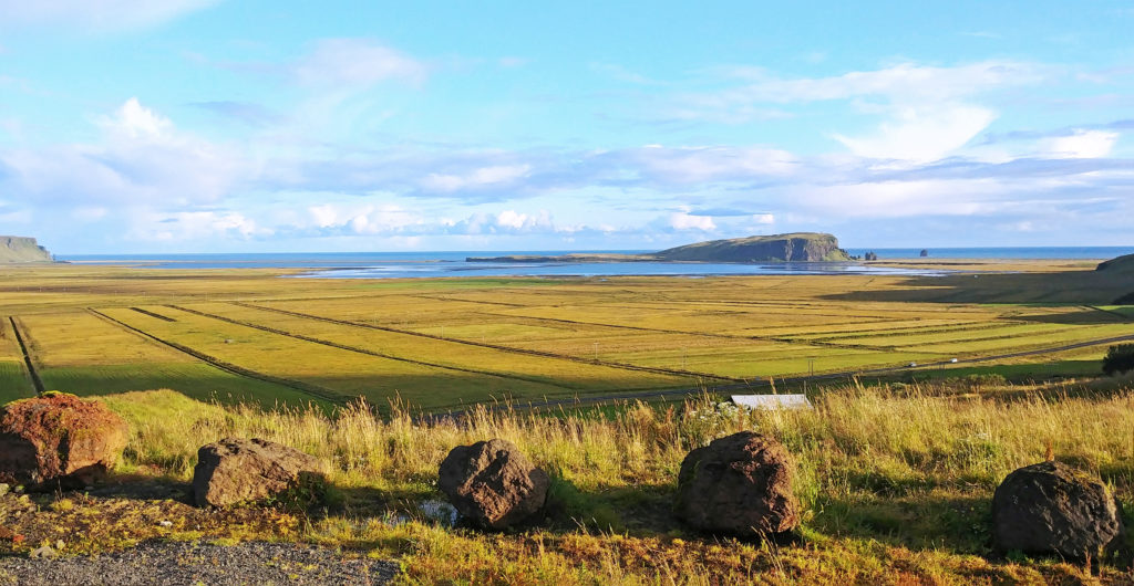
At day’s end, we pulled into a country inn, the Hotel Dyrholaey. It was located in the middle of nowhere with a great view of the southern coast in the distance. The back view out our hotel room window was equally awesome – lots of green mountains in the background. We thoroughly enjoyed our first day on the Ring Road and looked forward to what tomorrow would bring!

Bless,
Kathy


Rodge, checking out the hotel breakfast bar.


We wait for the tour bus at Bus Stop #7.


Rodge waiting for the Artic Adventures tour bus.


Kathy viewing the Pingvellir Rift Valley.


Rocks littered with ravines in Pingvellir National Park.


People walking through the Almannagia Gorge along the North American Plate.


Oxararfoss waterfall which eventually flows into Lake Pingvallavatn.


A ravine in the Pingvellir Rift Valley with the Oxara River in the background.


Rodge on the boardwalk in Almannagia Gorge.


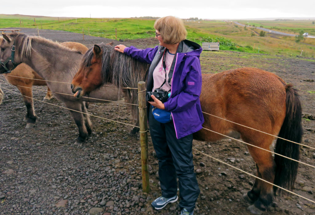
Kathy posing with an Icelandic horse.


As we approached Gullfoss from a footpath, we could hear the roar of the water.


Gullfoss, a breathtaking two-tiered waterfall plummets thirty-five feet.


A sparkling cloud of mist rises from the lower tier of Gullfoss.


Seljalandsfoss Waterfall along Iceland’s rugged South Coast.


People are able to walk behind the waterfall which plummets over a steep cliff.


We rode by a stretch of land about three miles wide bordered by dramatic cliffs.


As we walked closer to Skogafoss, we were drenched in a cloud of spray.


A staircase (527 steps) led up to an observation platform above Skogafoss.


Bonding with the natural beauty of the sea at Dyrholaey Promontory.


Hotel Dyrholaey was located in the middle of nowhere with a great coastal view.


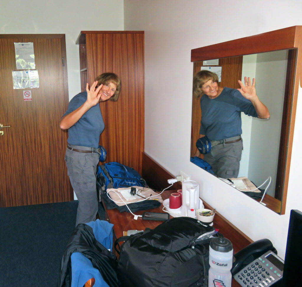
Kathy striking a pose in our Hotel Dyrholaey room.


Be the first to comment

Ketchikan, Alaska’s 1st City.

Posted December 13, 2017 By admin


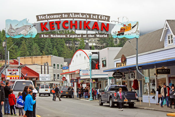
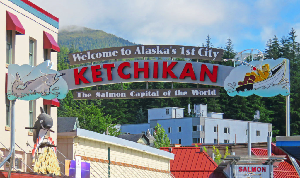
The welcome arch in downtown Ketchikan, Alaska.


July 31, 2017

It was another glorious morning on the Volendam as we pulled into Ketchikan, Alaska. It was our second time visiting Alaska’s southernmost city. We waited for the mad rush ashore to subside then donned our backpacks and went exploring. On our way down the ship’s gangplank, we were greeted by Ketchikan’s welcome arch, which read, “Welcome to Alaska’s 1st City”. With a population of 8,050 in its city limits it was the first community one encountered while heading north along Alaska’s Inside Passage.

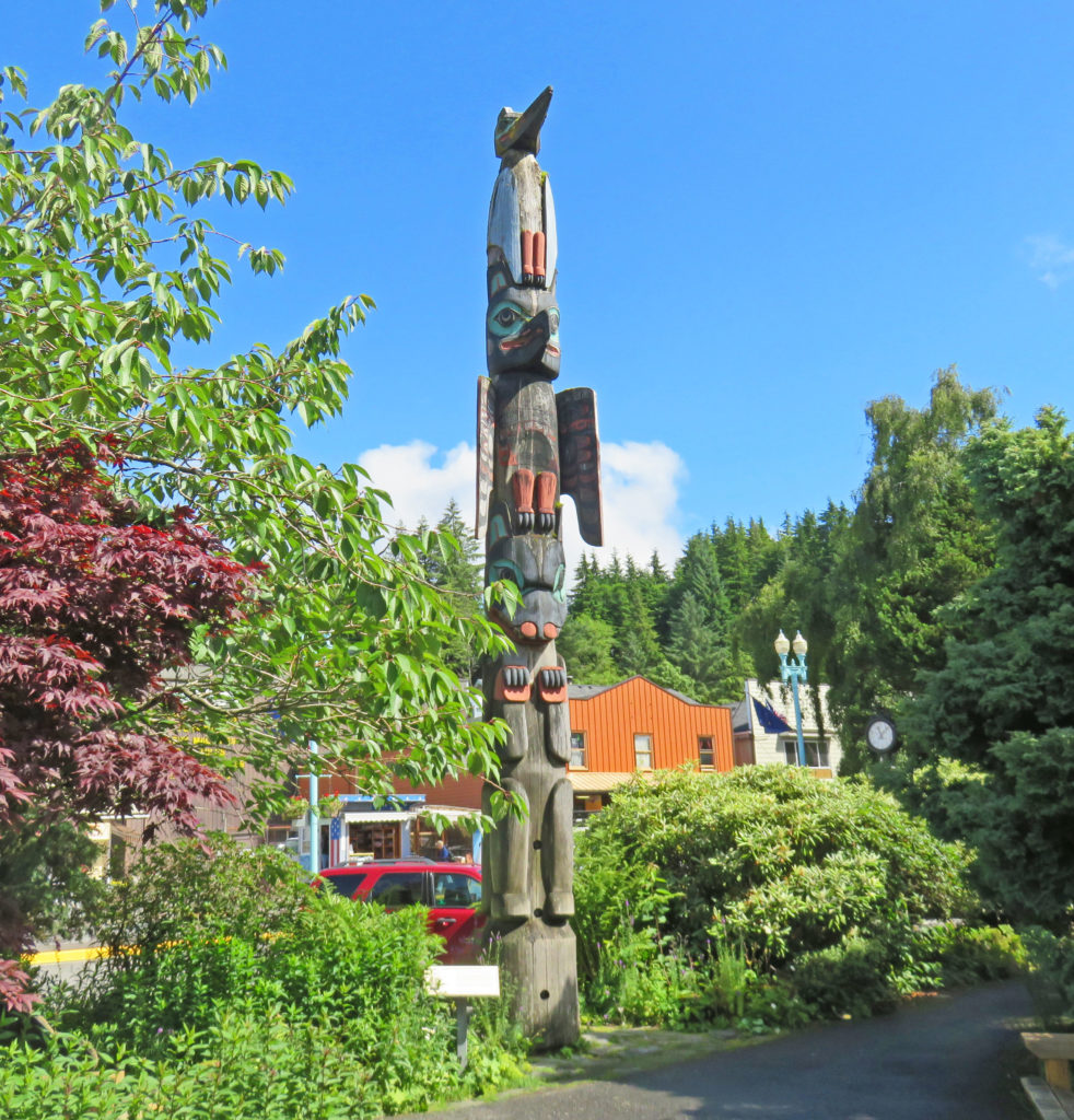
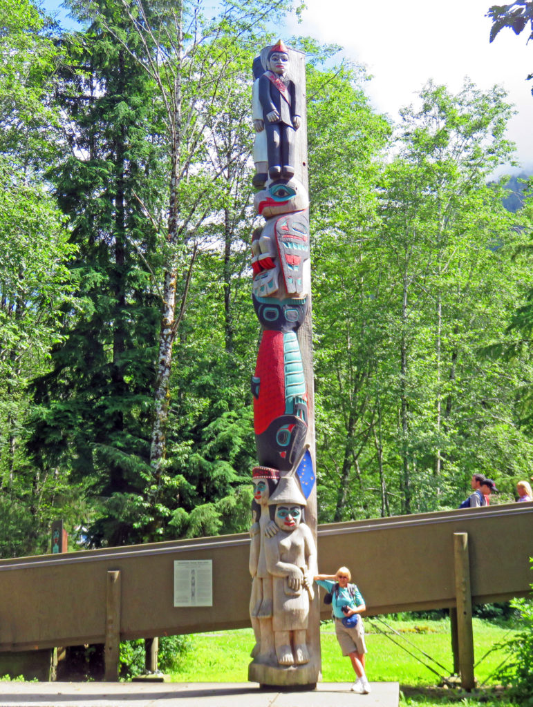
Our first stop on the waterfront was the Ketchikan Visitors Bureau where we acquired information on tours. We decided to explore Ketchikan on foot. Our journey began at the welcome arch in the touristy downtown area. We left the shops behind and headed north to Whale Park. The small park decorated with flower gardens created an inviting setting for the Chief Kyan Totem Pole, which was a replica of a pole raised in the 1890s for the Tlingit chief.

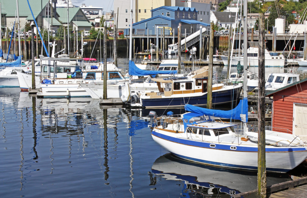
We turned right onto Stedman Street and walked along Thomas Basin Boat Harbor where we took in views of the waterfront. Soon, we arrived at Thomas Street, a wood-plank street built over the water. Thomas Street, lined with historic buildings, was once part of the New England Fish Company cannery.

It was a gorgeous blue-sky morning to be out and about in Ketchikan. Our walking tour took us up Deermount Avenue to the Totem Heritage Center where an extensive display of weathered, original totem carvings can be found. Ketchikan has the largest collection of totems found anywhere in the world. There are over eighty poles scattered throughout the city. Some are ancient poles kept in climate-controlled protection, several are standing poles raised almost a century ago, while others are recently carved replicas.

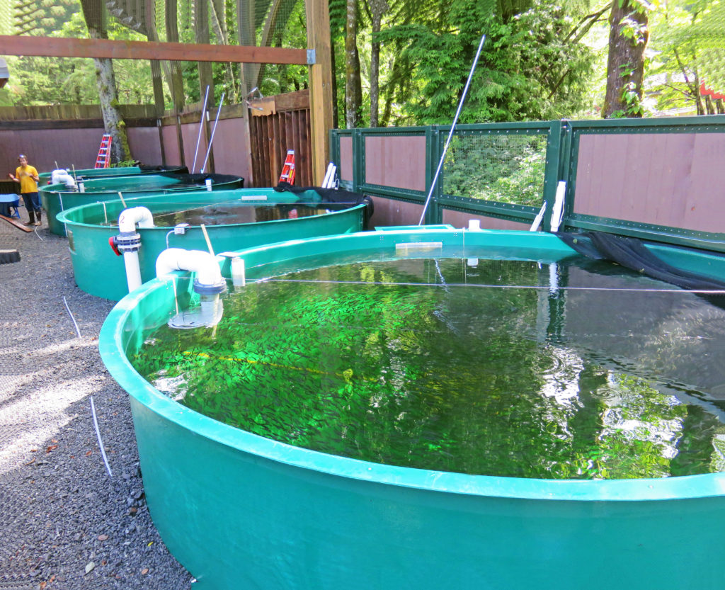
We continued our walk until we arrived at Deer Mountain Hatchery situated along Ketchikan Creek. Deer Mountain is one of the oldest hatcheries in Alaska. The facility raises fish to supplement the wild stocks of Alaska salmon and rears approximately 500,000 juvenile chinooks annually. The hatchery backed onto a small but charming park, with ornamental ponds and paved paths.

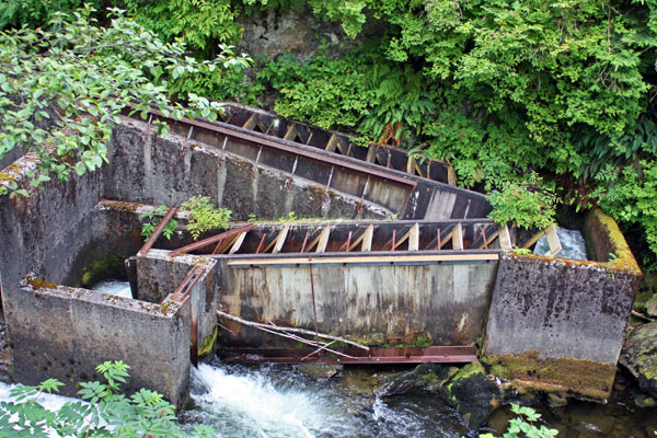
We explored the sights along Park Ave and followed Ketchikan Creek. We were on the lookout for salmon. In the summer months, the creek is one of the best places to see salmon gather by the thousands to spawn upstream. We stopped by a concrete fish ladder and watched salmon try to jump up rushing waterfalls to return to their native streambed. None appeared to be using the ladder, a series of pools arranged like steps that allow fish to travel upstream around the falls.

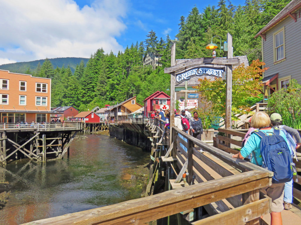
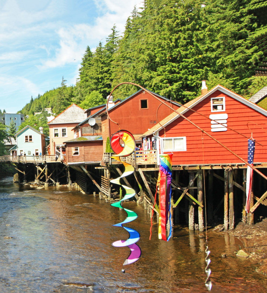
As we continued on our tour, we discovered another wooden walkway constructed along the shores of Ketchikan Creek. Historic Creek Street was built over the water because it was too difficult to blast away the rocky hills surrounding the creek. The antique boardwalk perched on wooden pilings used to be lined with bordellos that catered to anglers and bootleggers. Now it is one of Ketchikan’s best tourist attractions and a home to historic buildings filled with picturesque shops and restaurants.

We walked through the shops looking at craft items, tourist souvenirs and Alaskan gold jewelry. The most famous brothel, known as Dolly’s House, is still on the boardwalk and it has been preserved as a museum right down to the original furnishings. Instead of touring the house we opted to continue down the street for some ice cream. We boarded the ship at 3 p.m., retired our backpacks and relaxed on the open-air aft end of the Lido Deck.

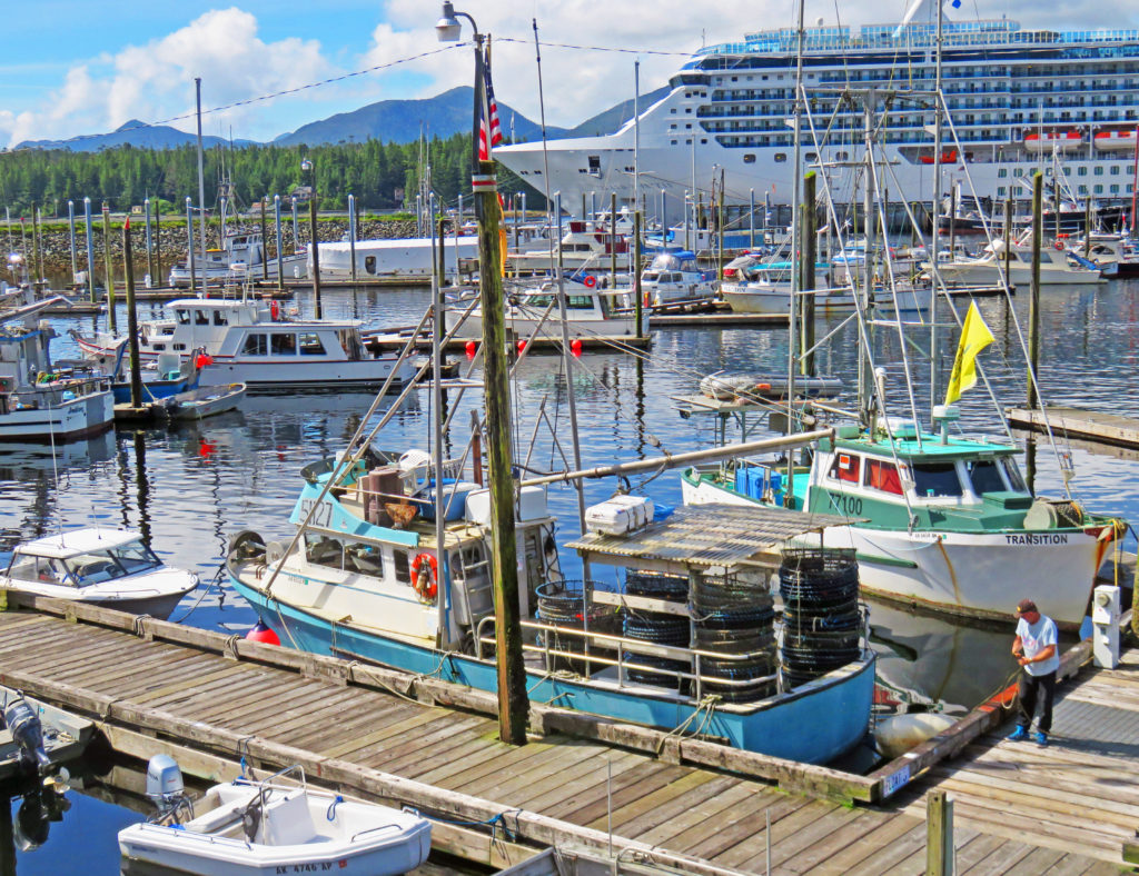
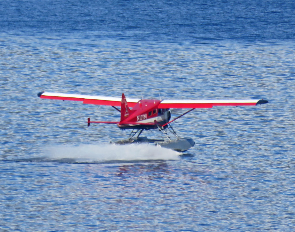
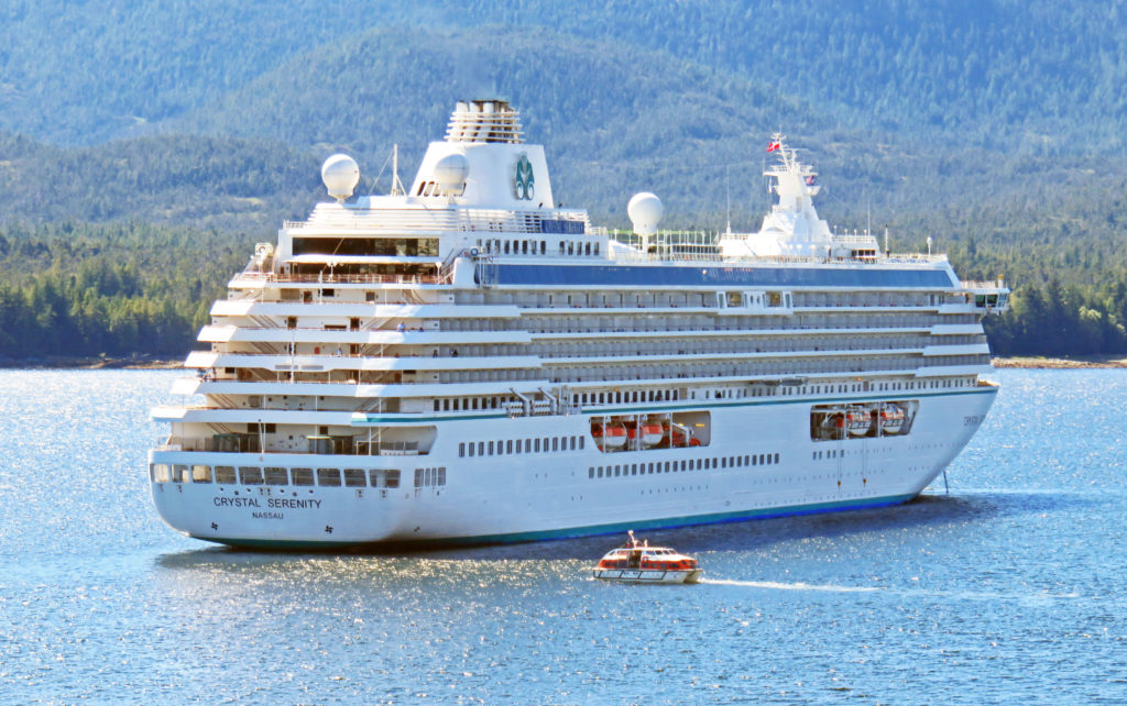
It was fun to watch the harbor activity, as there were several other cruise ships nearby, one of which was anchored and shuttling its passengers to and from shore with small boats. The area of water near the ship was also used as the “runway” for a constant stream of seaplanes that were landing and taking off. At 6 p.m. the Volendam cruised out of Ketchikan. Tuesday we would have a full day at sea sailing through the Inside Passage before we arrived Wednesday August 2, 2017 at our final port in Vancouver, British Columbia.

Fair winds,
Kathy


It’s Monday on the Volendam.


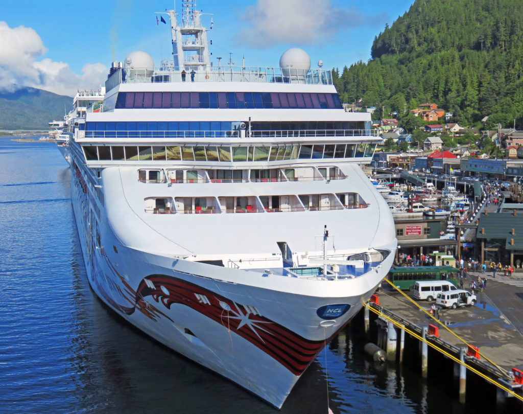
Looking down on another cruise ship in port.


We start our walking tour in Ketchikan.


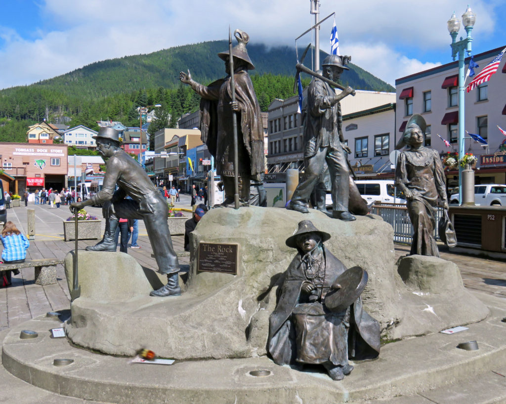
“The Rock” a monument representing Ketchikan’s first people and pioneers.


A replica of the Chief Kyan totem pole in Whale Park.


The Ketchikan Yacht Club in Thomas Basin Boat Harbor.


A view of a cruise ship in the distance.


Kathy dwarfed by a totem pole outside the Totem Heritage Center.


Deer Mountain is one of the oldest hatcheries in Alaska.


Hatchery basins full of juvenile salmon.


A concrete fish ladder on Ketchikan Creek.


Historic Creek Street is one of Ketchikan’s best tourist attractions.


Historic buildings filled with picturesque shops line Ketchikan Creek.


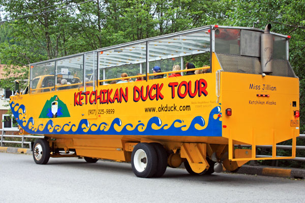
Tour Ketchikan by land and sea in this amphibious vehicle.


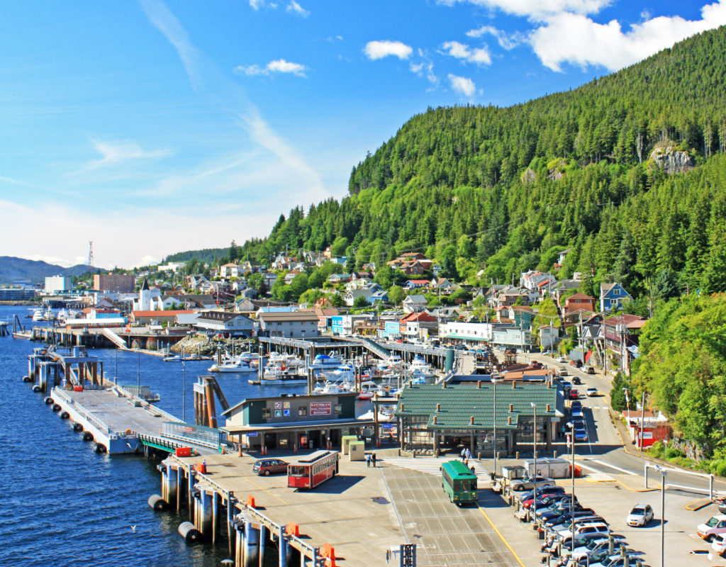
Looking down on Ketchikan’s Casey Moran Harbor.


A seaplane landing in the harbor.


A cruise ship anchored in the harbor shuttles passengers to and from shore.


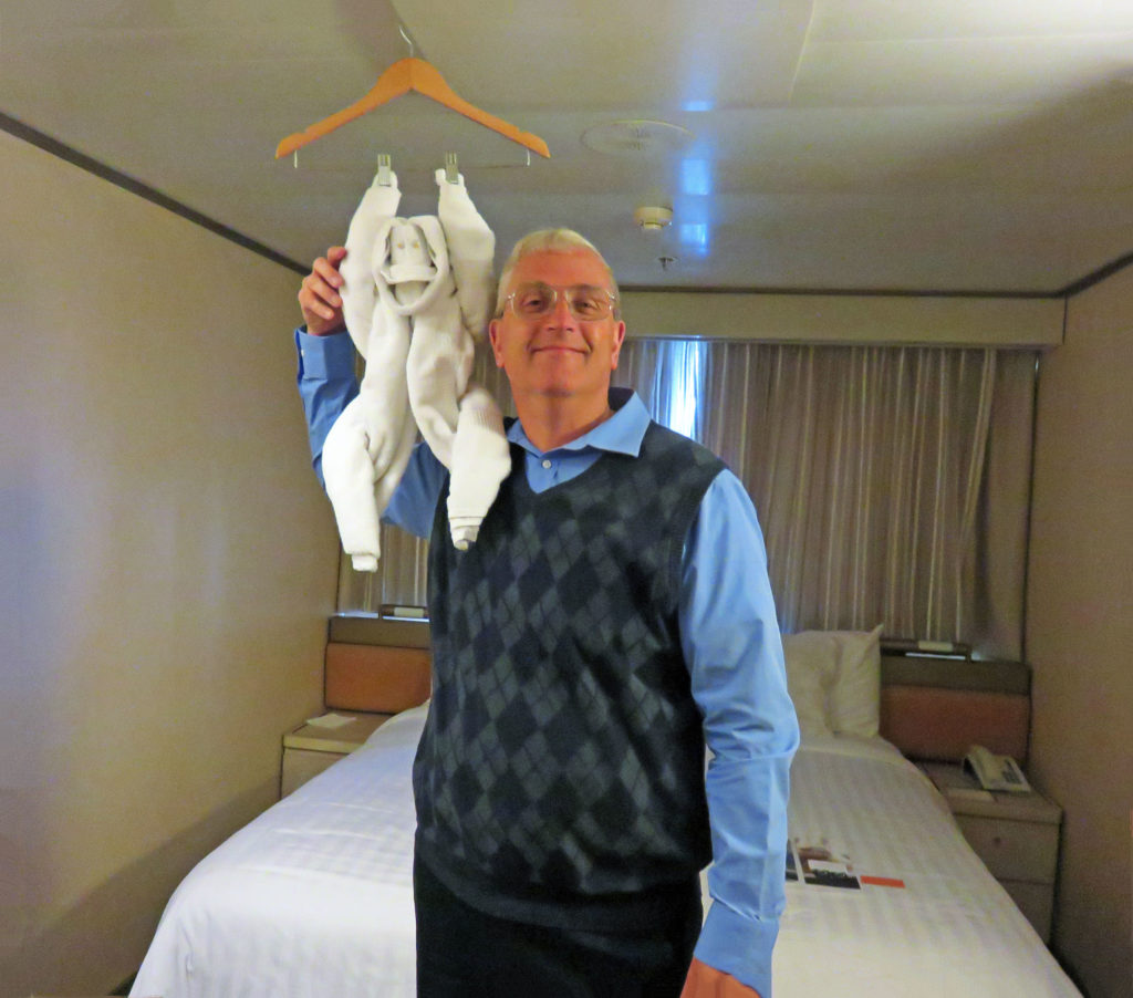
Two monkeys! Rodge poses with our towel animal of the day.

Be the first to comment

Magnificent Glacier Bay!

Posted December 8, 2017 By admin


The stunning John Hopkins Glacier.


July 30, 2017 

Today was a very special day on the Volendam. We were going to explore Glacier Bay. This was our second time here in four years and I was excited. The park was named a national monument by President Calvin Coolidge in 1925. In 1980, Jimmy Carter increased its acreage and elevated its status to Glacier Bay National Park and Preserve. The park encompasses 3.3 million acres and Glacier Bay lies in the middle of the huge preserve. Its many inlets and fjords contain sixteen active tidewater glaciers fueled by enough snow to flow out of the mountains and down to the sea.

Rodge and I awoke at 6 a.m. so that we could get dressed and eat in time to take in the full day. At 7 a.m. we entered Glacier Bay and picked up two park rangers at Bartlett Cove (Park Headquarters). They spent the day as our guides and provided informative commentary as we cruised throughout Glacier Bay.

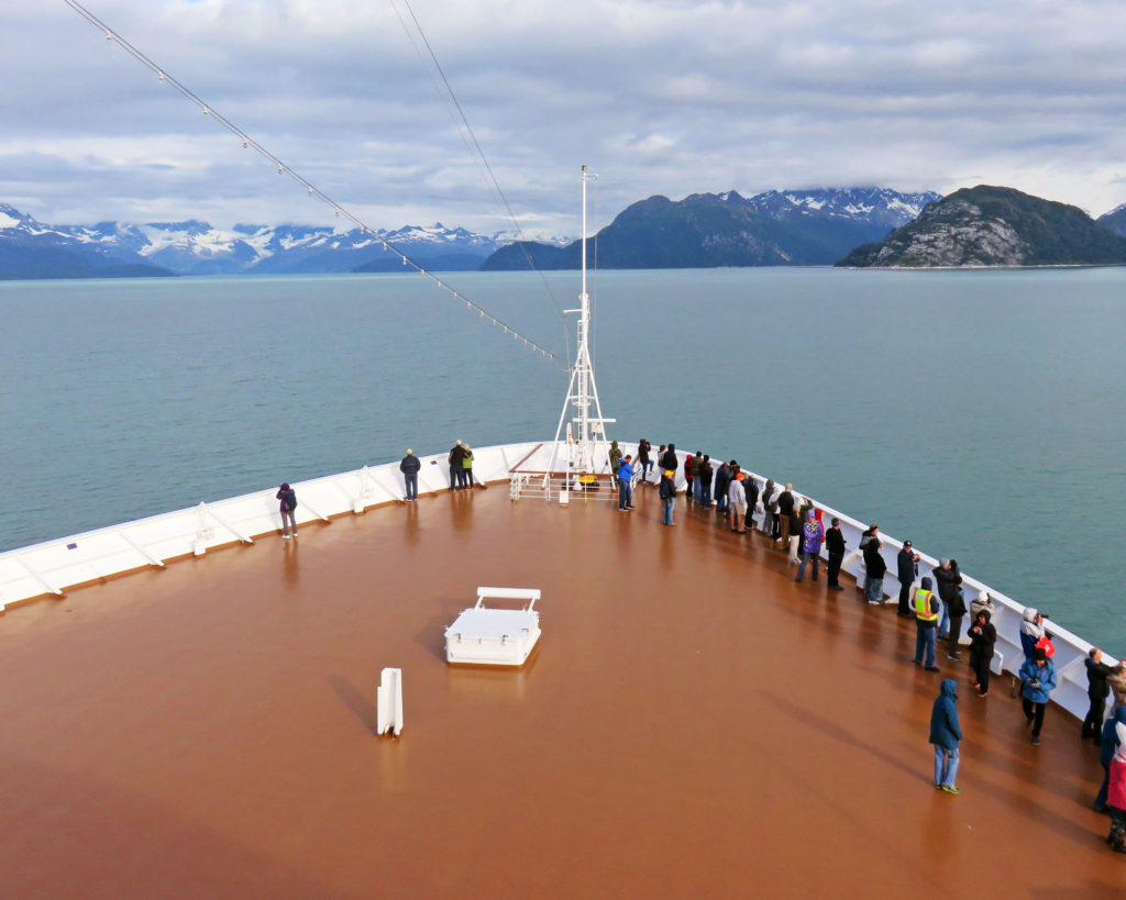
The captain opened up two levels of the bow of the ship so we could have a sweeping view of the bay. It was cold and breezy there so we were all bundled up in our parkas and hats. Along with a warming sun, there was a coffee and hot chocolate station set up on deck to help take the chill off.

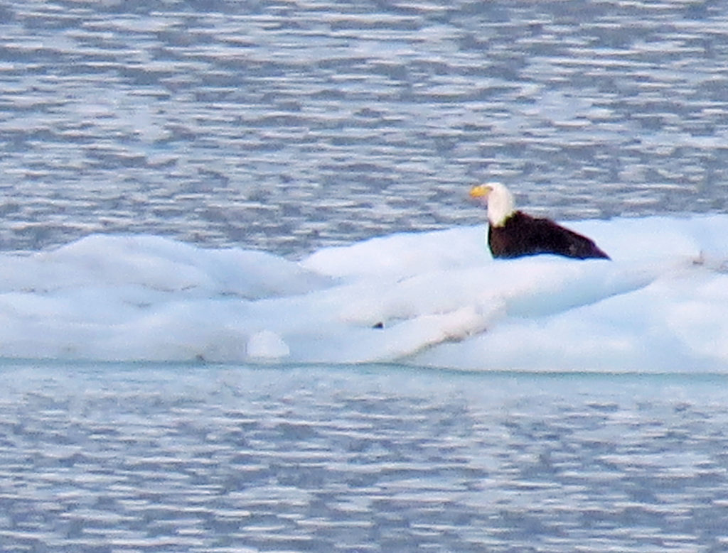
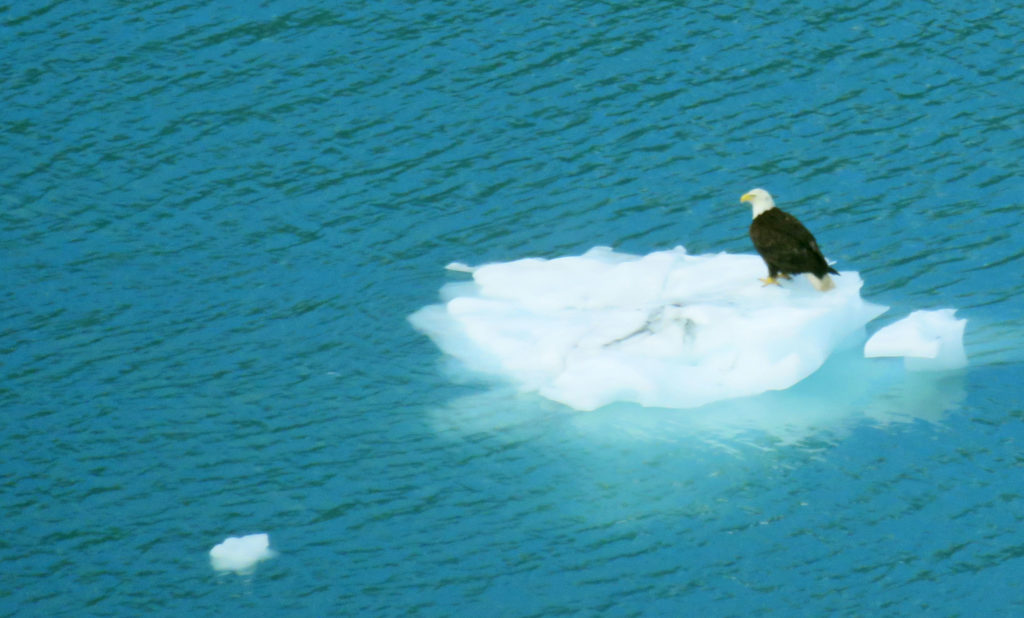
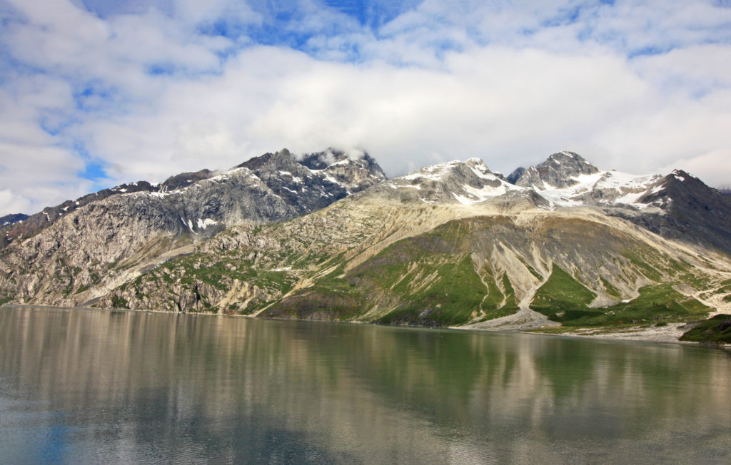
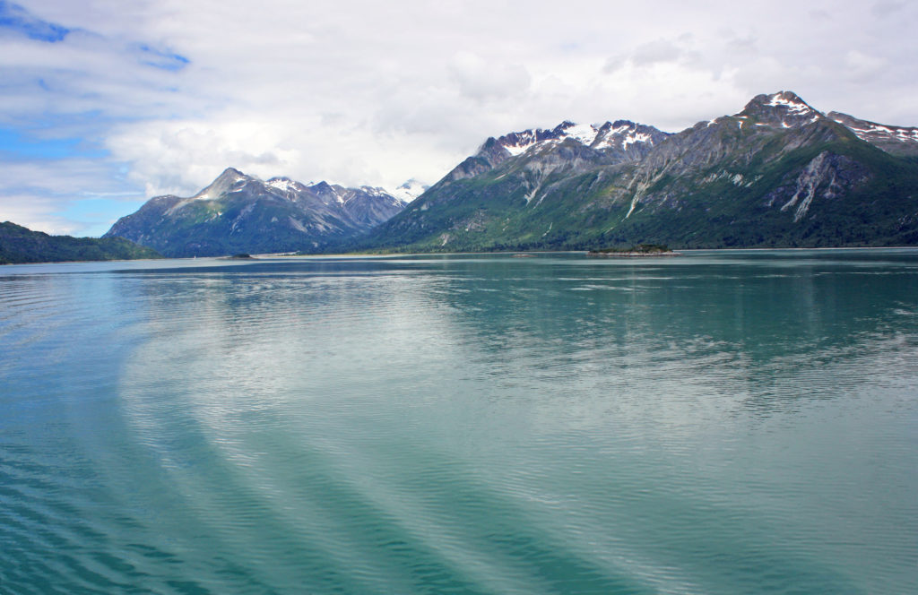
As we glided through the green-blue waters of Glacier Bay, the reflection of the ice-capped mountains in the still water lent an air of solitude and tranquility to our visit. We saw wildlife all around us. Humpback whales waved to us with their tails as they dove in and out of the water. Dall sheep grazed on the top of mountain ridges. High-soaring bald eagles glided through the air scanning for prey. At one point, I saw a bald eagle float by on an iceberg.

As we slowly made our way fifty-five miles north to the tidewater glacier faces, Park Service Rangers in the ship’s bridge provided audio narration of what we were seeing. They pointed out features of interest and a wide variety of wildlife (bald eagles, otters, whales, Dall sheep etc.). The glaciers we cruised by are called tidewater glaciers because they end in the water and break off into icebergs.

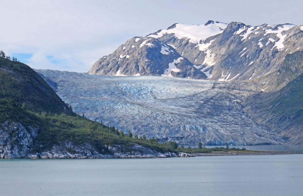
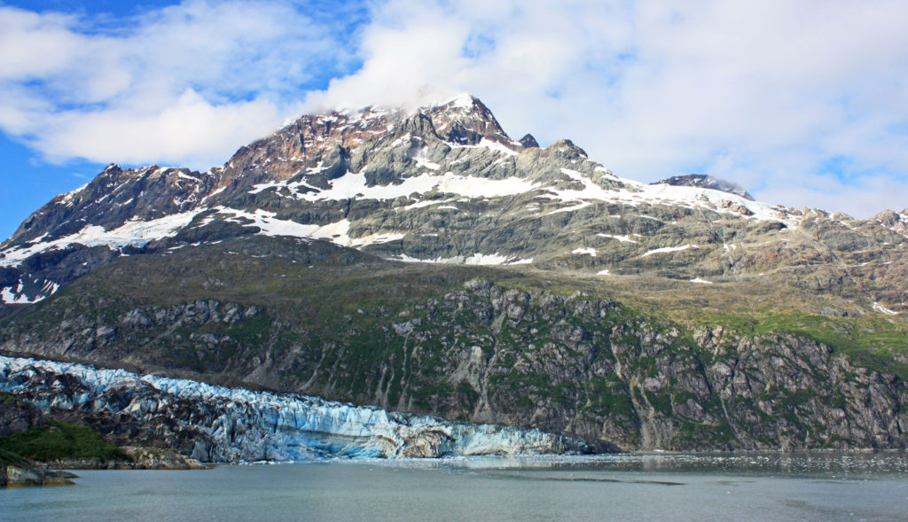
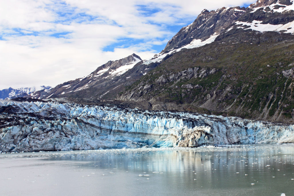
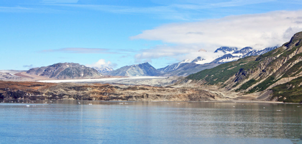
At mile 40, we arrived at Reid Glacier. The 9.5-mile-long, .75-mile-wide glacier was named by members of the 1899 Harriman Alaskan Expedition for Harry Fielding Reid. Reid Glacier is one of the few glaciers that can be accessed from shore. A mile later, we entered stunning John Hopkins Inlet, a nine-mile path bounded by steep, ice-carved walls that reach more than 6,000 feet skyward on either side. At the mouth of the inlet is the Lamplugh Glacier, one of the bluest glaciers in the park. It is 16 miles long and .75 miles wide. It is known for its huge subglacial river and cave that appears each summer.

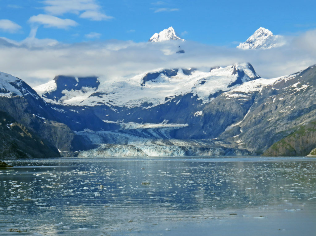
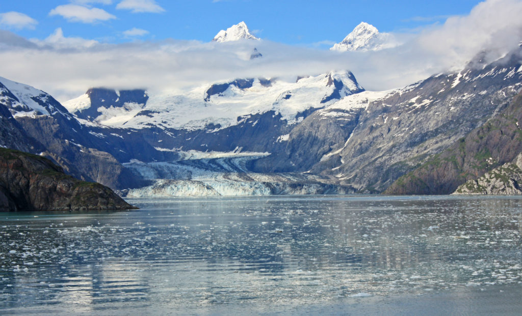
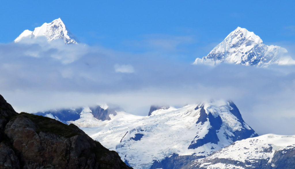
But the crown jewel of the inlet lies at the very end, the John Hopkins Glacier. The glacier was named after John Hopkins University in Baltimore, Maryland by Harry Fielding Reid in 1893. It is one of the few advancing tidewater glaciers of the Fairweather Range. The glacier is more than a mile wide and twelve miles long. Its jagged face rises 250 feet from the water. As I looked at the stunning glacier I could see two peaks from the Fairweather range rising above it. The peaks are named Mount Wilbur and Mount Orville, after the Wright brothers.

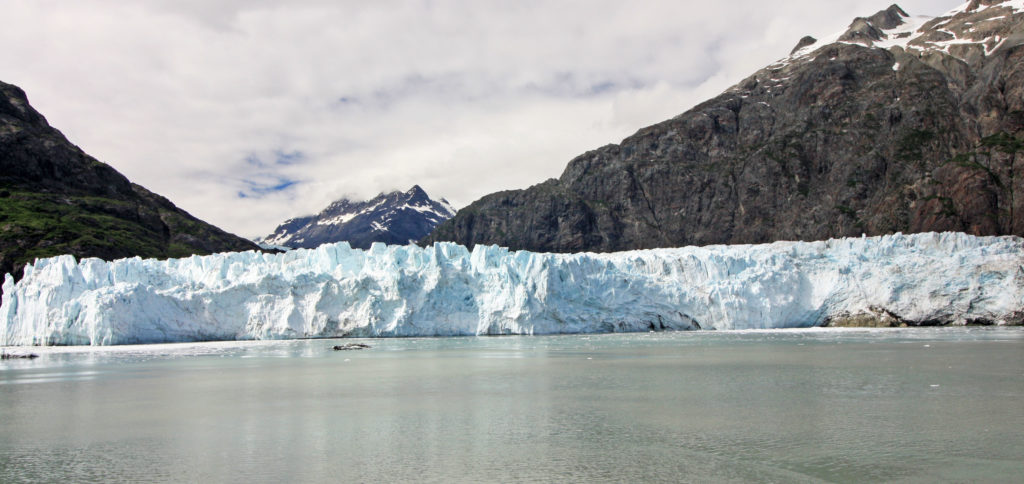
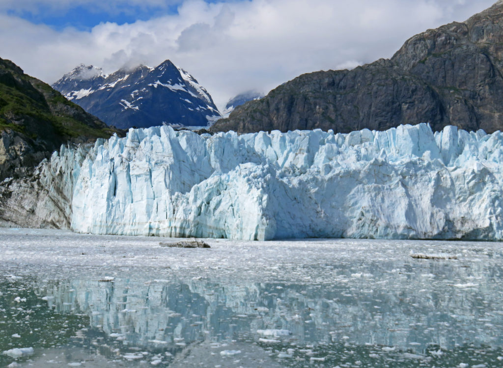
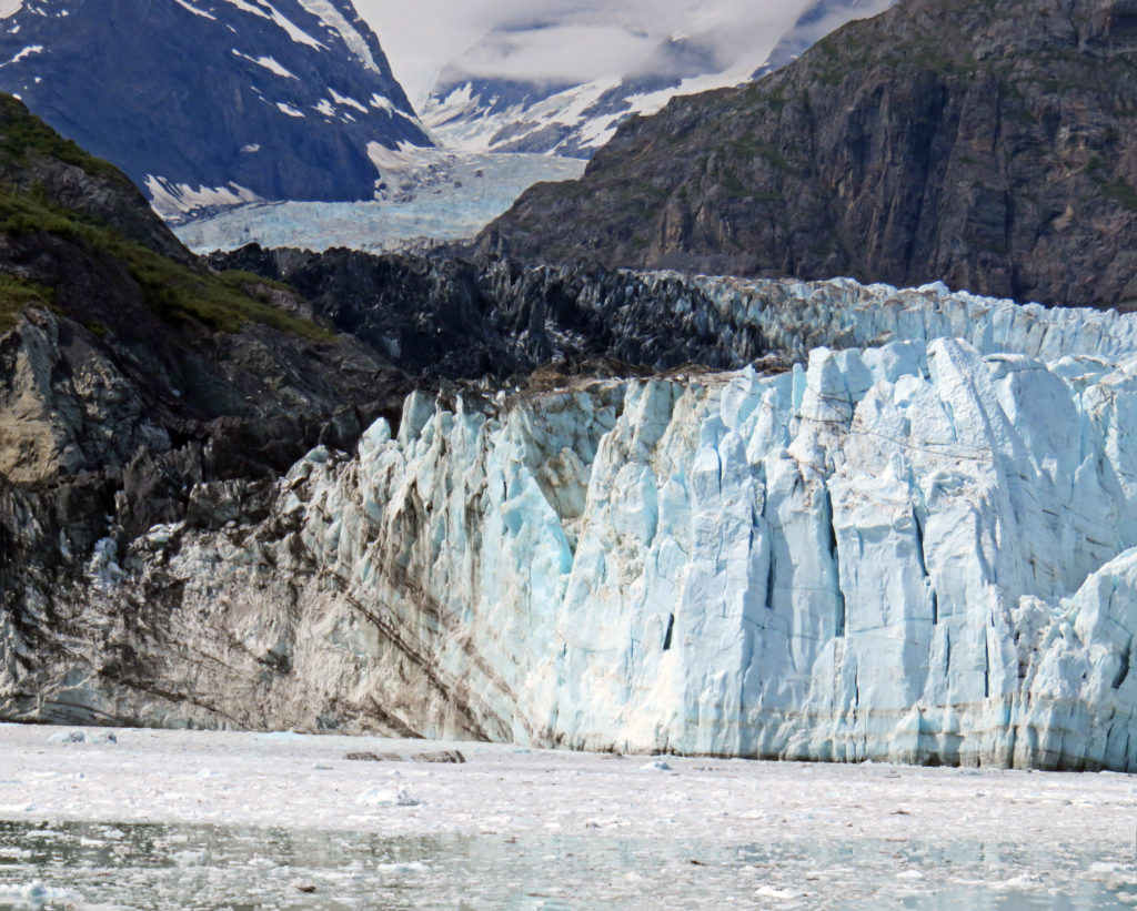
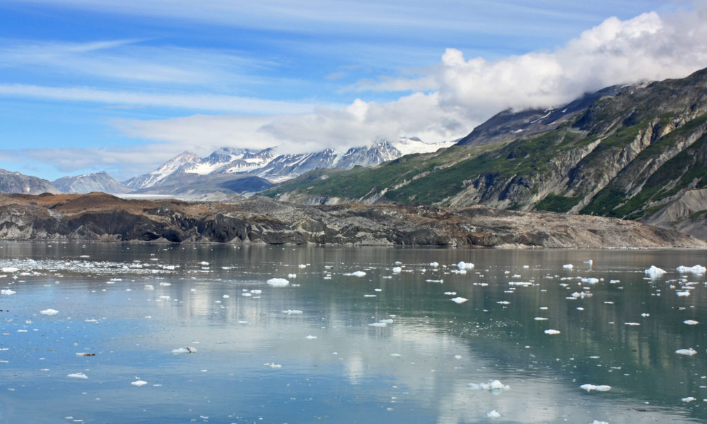
We left John Hopkins inlet and continued north into Tarr Inlet. It was 11 a.m. and the stewards started serving us Dutch Pea Soup on the foredeck. It was just the thing to warm us up a bit without having to go inside. Soon, we arrived at Margerie Glacier, named for the French geographer and geologist Emmanuel de Margerie who visited Glacier Bay in 1913. Inside the inlet, calm, blue-green waters were dotted with chunks of ice. The massive glacier towered 250 feet above us. The mile-wide ice flow stretched twenty-one miles from the south slope of Mount Root on the Alaska-Canada border to Tarr Inlet.

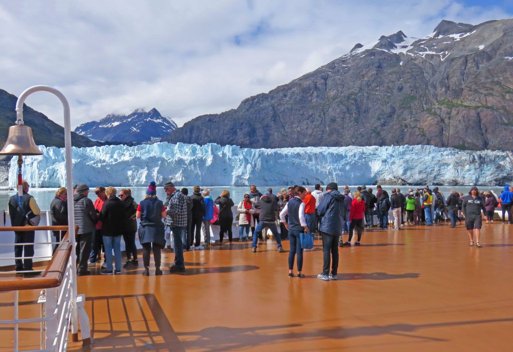
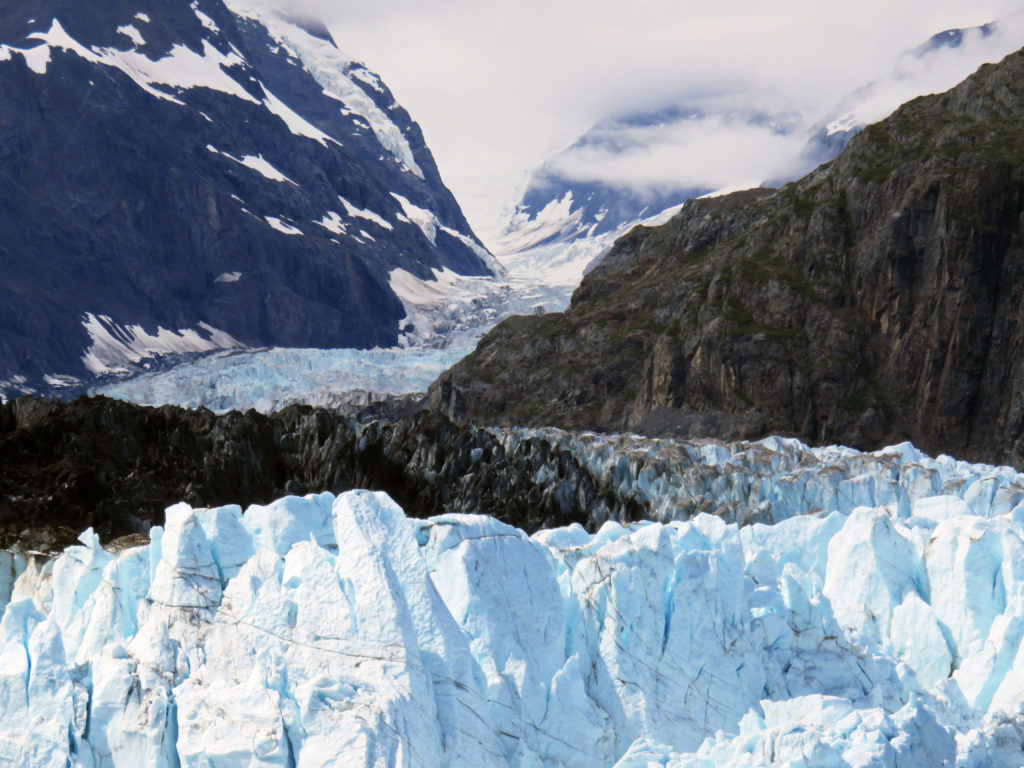
Our ship slowed and coasted within a quarter-mile of the massive ice face. Passengers lined the bow with binoculars and cameras to capture a view of the towering ice queen. Margerie Glacier with the Fairweather Mountains lurking behind, towered over the water’s surface. The jagged edges left in the top of the glacier from pieces falling away formed intricate shapes and patterns.

The ship spent about a full hour in front of the Margerie Glacier. The captain allowed plenty of time for everyone on board to see the glacier by turning the ship slowly so that all sides faced the glacier for a considerable amount of time. As we crowded the rails, a hush came over the ship. Suddenly, we heard a loud crack, and then a noise that sounded like a thunderclap. The silence was shattered as a chunk of ice crumbled and slowly fell into the water. Margerie Glacier was actively calving or breaking off ice chunks. Compared to glacial ice, seawater is warm and highly erosive. As waves and tides undermines some ice fronts, great blocks of ice up to 200 feet high may calve or break loose and crash into the sea.

Just adjacent to Margerie Glacier is the largest glacier in the park, the Grand Pacific Glacier. Standing 180 feet above the water, it is two miles wide and 34 miles long. At 1 p.m., we left Tarr Inlet and spent the rest of the afternoon cruising south through Glacier Bay. We passed by John Hopkins Inlet again and got another glimpse of the virtual winter wonderland. Hanging glaciers on mountainsides glistened in the afternoon sun. Sparkling icebergs floated by in calm, icy waters. I hated to leave such a magical place.

As we cruised out of Glacier Bay, I was inspired by its rugged, limitless beauty. I was also humbled and in awe of its snow-covered landscapes and icy sculptures. Only God could have created such a masterpiece.

In awe,
Kathy


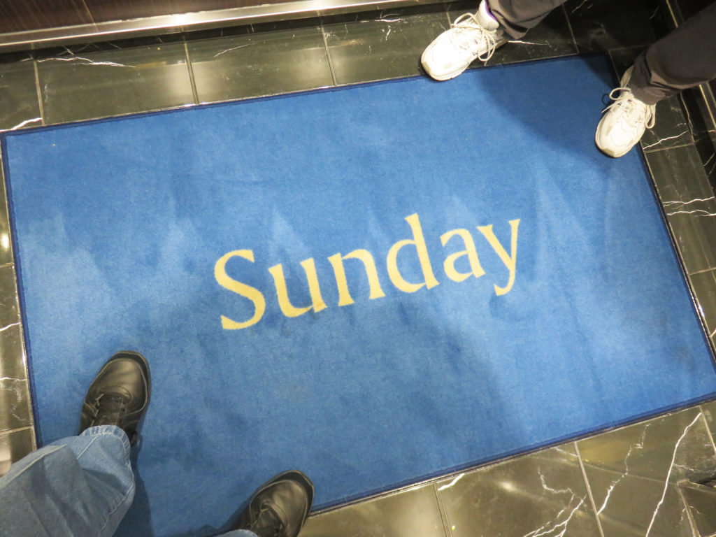
It’s Sunday on the Volendam!


On the bow of the ship all bundled up in our parkas.


Making our way through blustery Glacier Bay National Park.


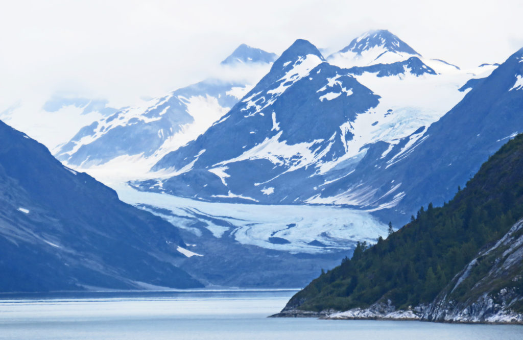
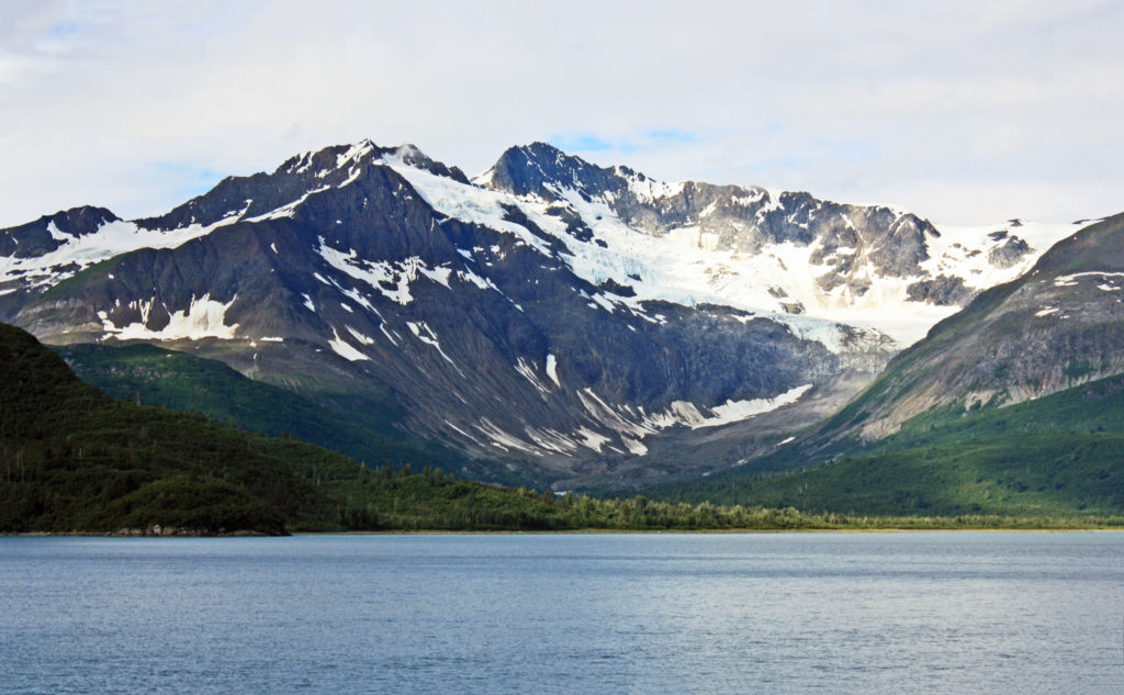
Snow covered mountains line the waters of the bay.


Reid Glacier, a 9.5 mile-long glacier that can be accessed from shore.


Rodge enjoying hot chocolate on the forward deck.


Lamplugh Glacier found at the mouth of the John Hopkins Inlet.


The Lamplugh Glacier is one of the bluest glaciers in the park.


Kathy being photobombed by Lamplugh Glacier.


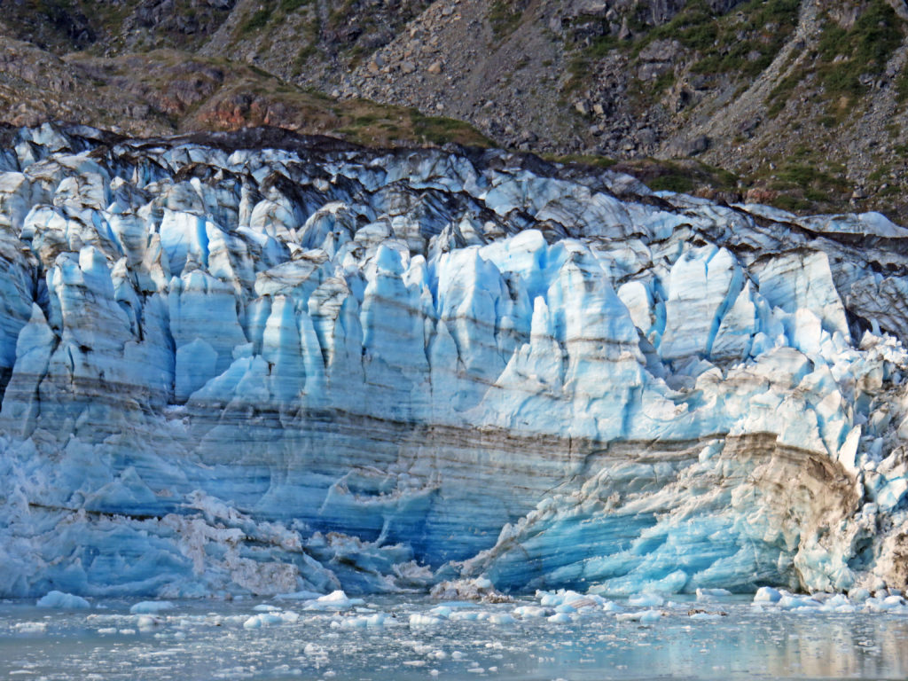
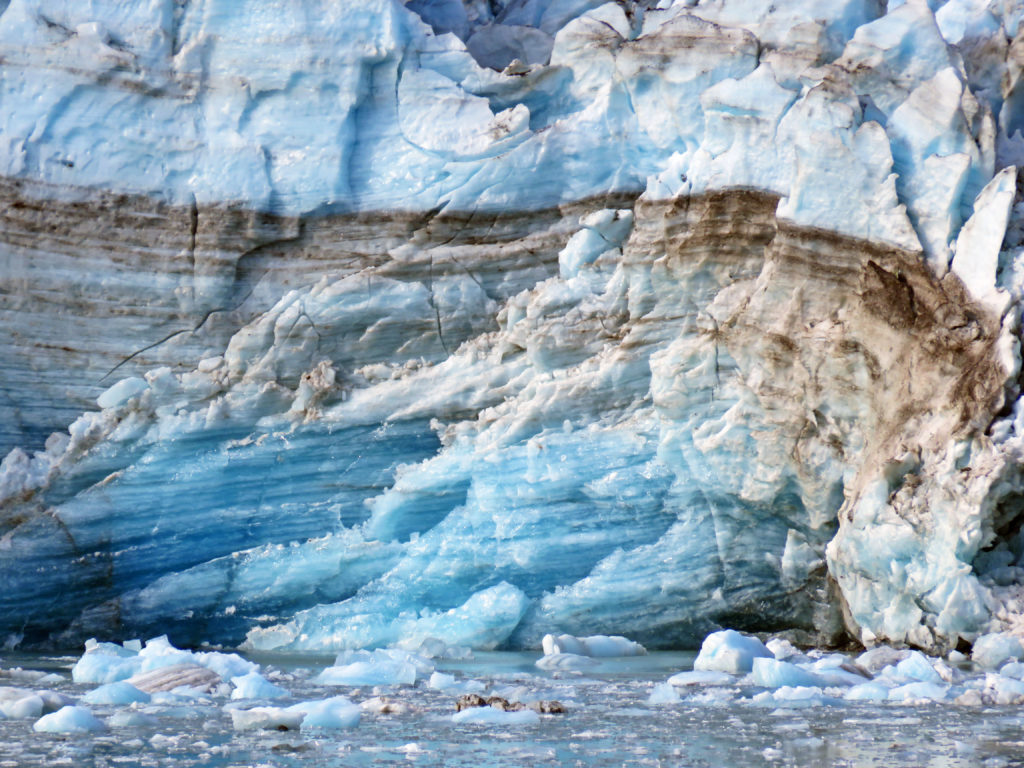
This is an example of the layering effect of a glacier.


Layers of ice and dirt are trapped inside the glacier.


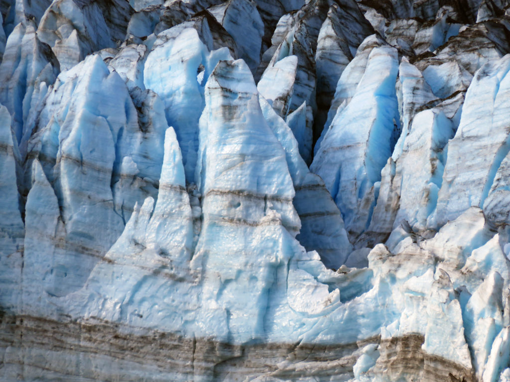
Beautiful ice sculptures formed by years of glacial activity.


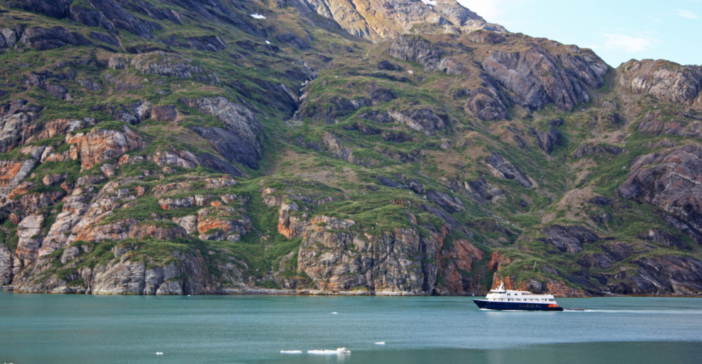
A small cruise ship exploring Glacier Bay.


A bald eagle enjoying a morning cruise.


The crown jewel of the inlet lies at the very end, the John Hopkins Glacier.


Two peaks rising above the glacier named Mounts Orville and Wilber.


A bald eagle hitching a ride on a an iceberg.


Margerie Glacier from a distance.


Passengers lined the bow with cameras to capture a view of Margerie glacier.


The jagged edges were left in the top of the glacier from pieces falling away.


Margerie Glacier with the Fairweather Mountains lurking behind.


The mile-wide ice flow stretched 21 miles and towered 250 feet above us.


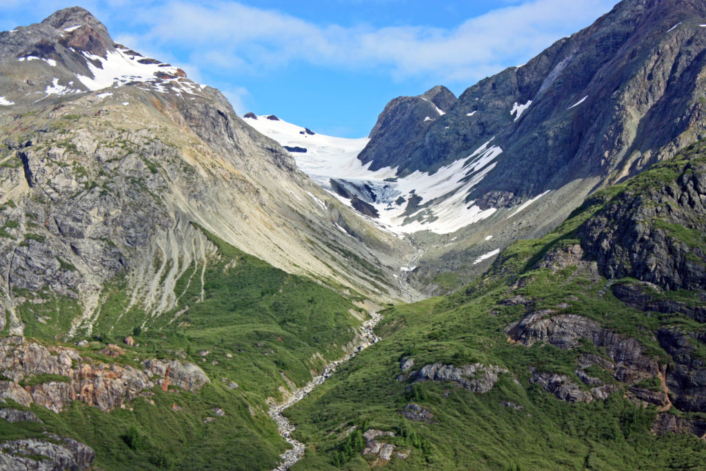
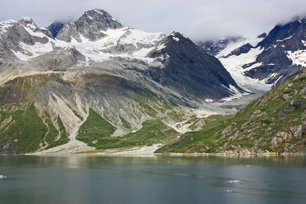
A retreating glacier.


Another retreating glacier gives way to green grasses.


Another magnificent view of Glacier Bay.


The Grand Pacific Glacier is the largest glacier in the park.


Standing 180 feet above the water it is two miles wide and thirty-four miles long.


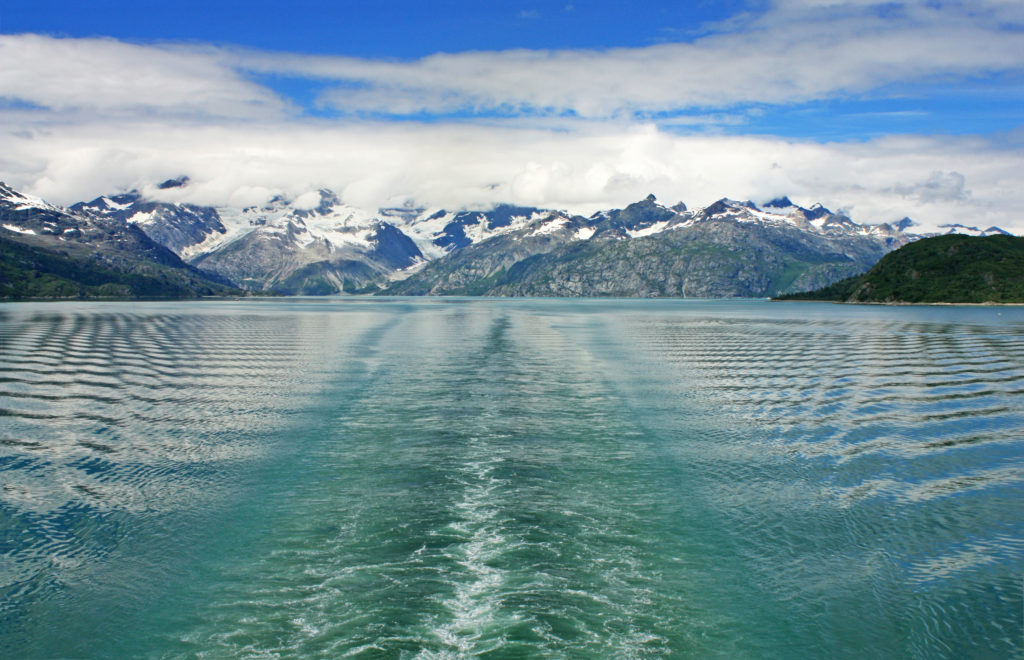
Leaving Glacier Bay National Park.


Gentile waves move across the blue-green water.


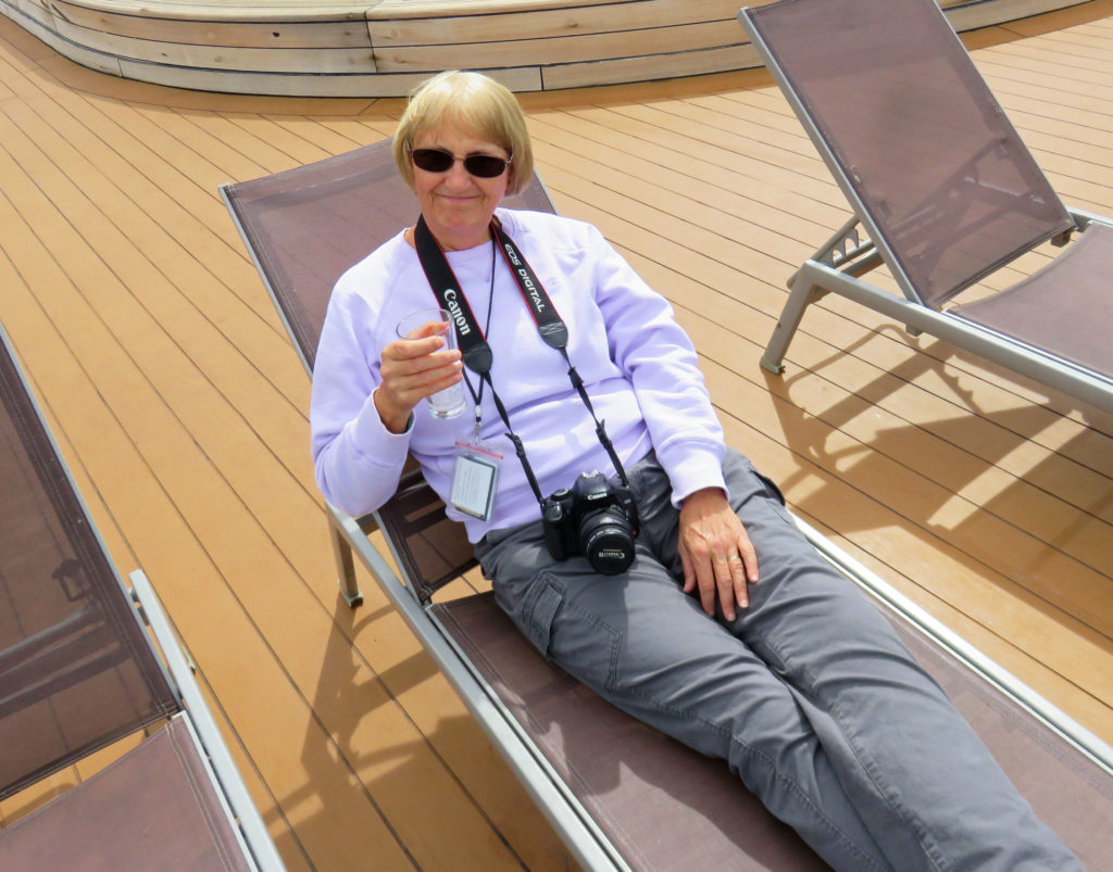
Kathy relaxing on the deck after a marvelous day in Glacier Bay.


Be the first to comment

We Set Sail on the MS Volendam!

Posted December 5, 2017 By admin


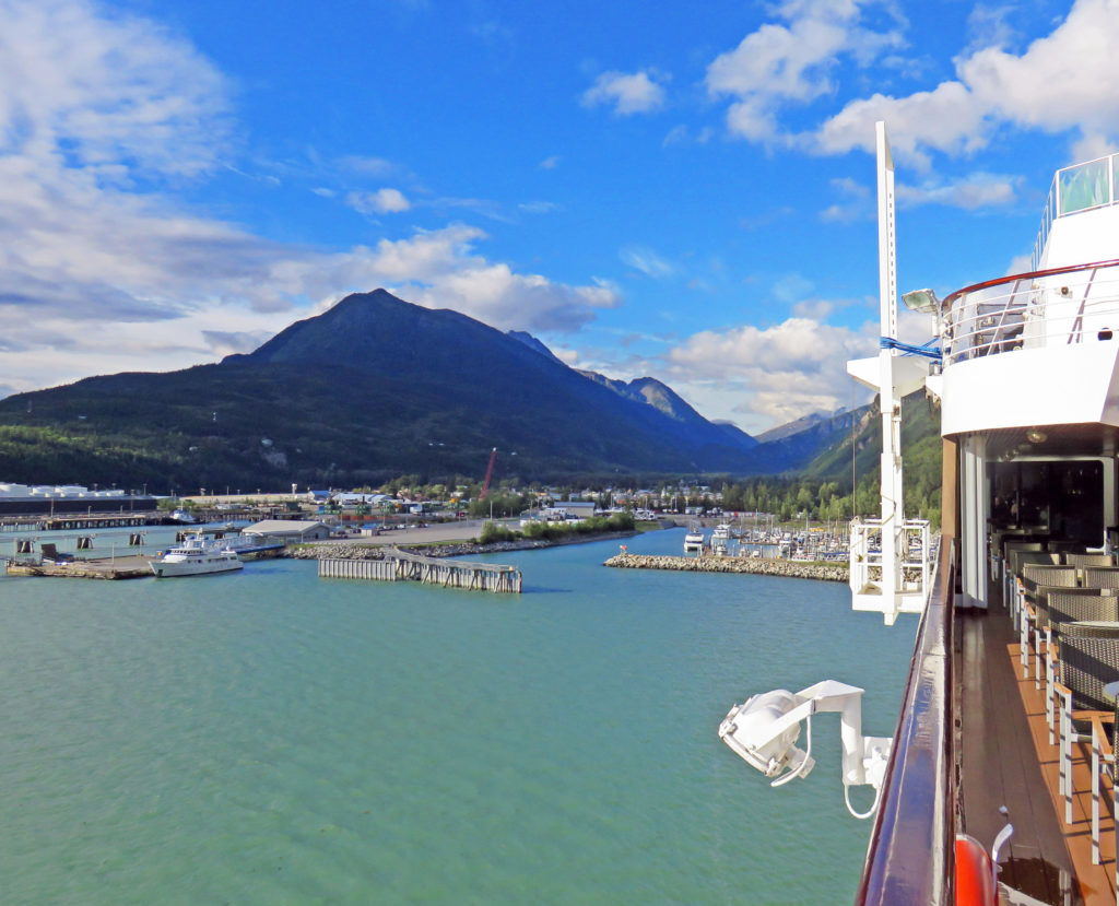
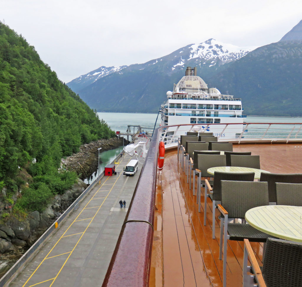
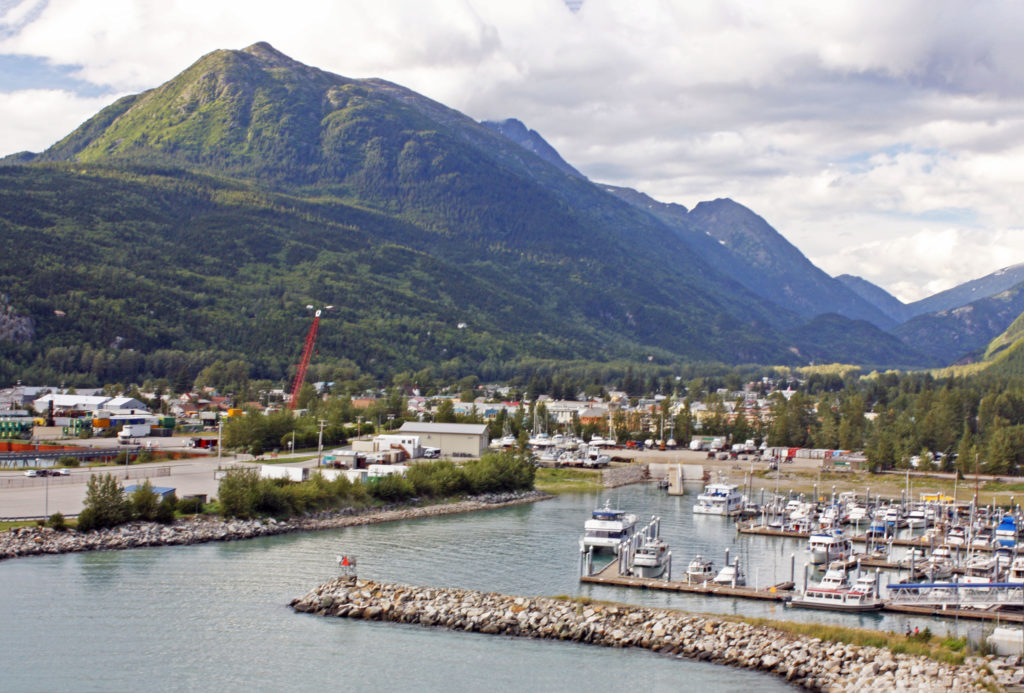
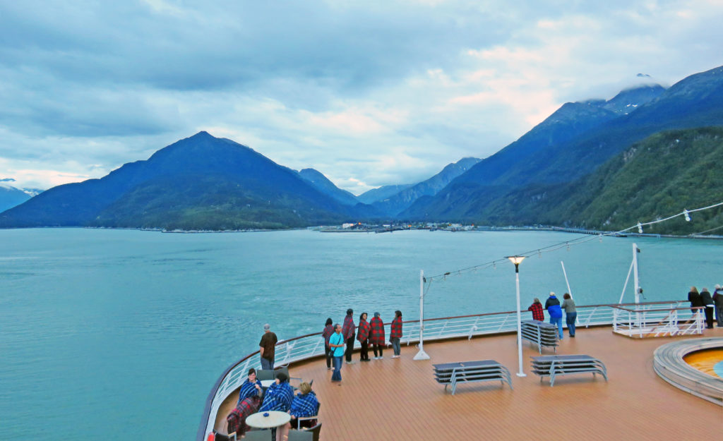
A view of Skagway harbor from the cruise ship Volendam.


January 29, 2017

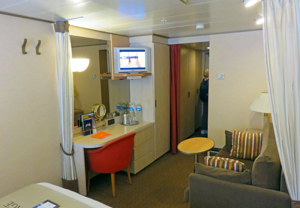
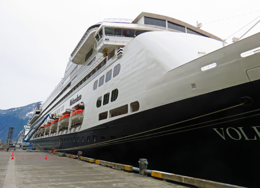
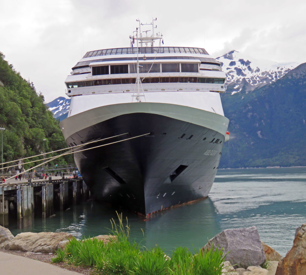
After riding buses, trains and flying in planes over the last ten days it was time to start the sea portion of our trip. We departed our hotel at 10:30 a.m. and were shuttled to the harbor where we embarked on the Holland America cruise ship MS Volendam. Our stateroom was on the second deck—the same deck as the gangway entrance which made it convenient when arriving and departing the ship. Our baggage was staged inside the room so we immediately settled in.

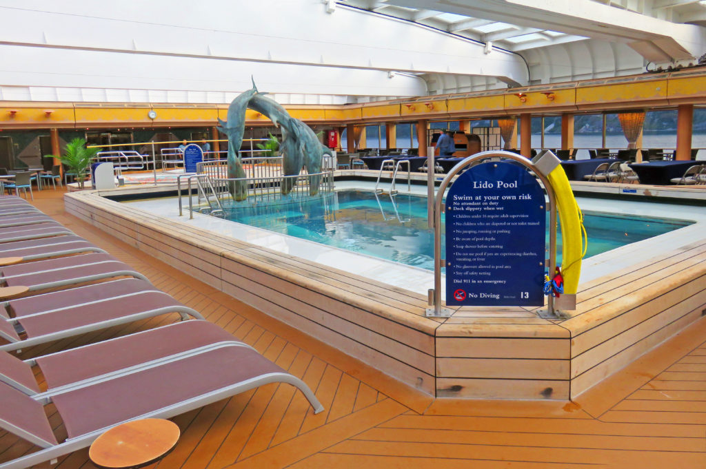
Next, we were off to the Lido Deck for our first meal on board. Let the food frenzy begin. After lunch, some exploring about the decks, and a bit of time reading through the shipboard literature in our stateroom, we donned our trusty backpacks again. It was time to go back ashore and do some final exploring in Skagway. We walked up and down the main street poking in the various stores and making minor purchases (remembering that our luggage was pretty full). We stopped and got some ice cream, then spent some time enjoying it and the view from the roadside bench outside the store. The mini-shopping spree ended in plenty of time to reboard the ship before the underway deadline.

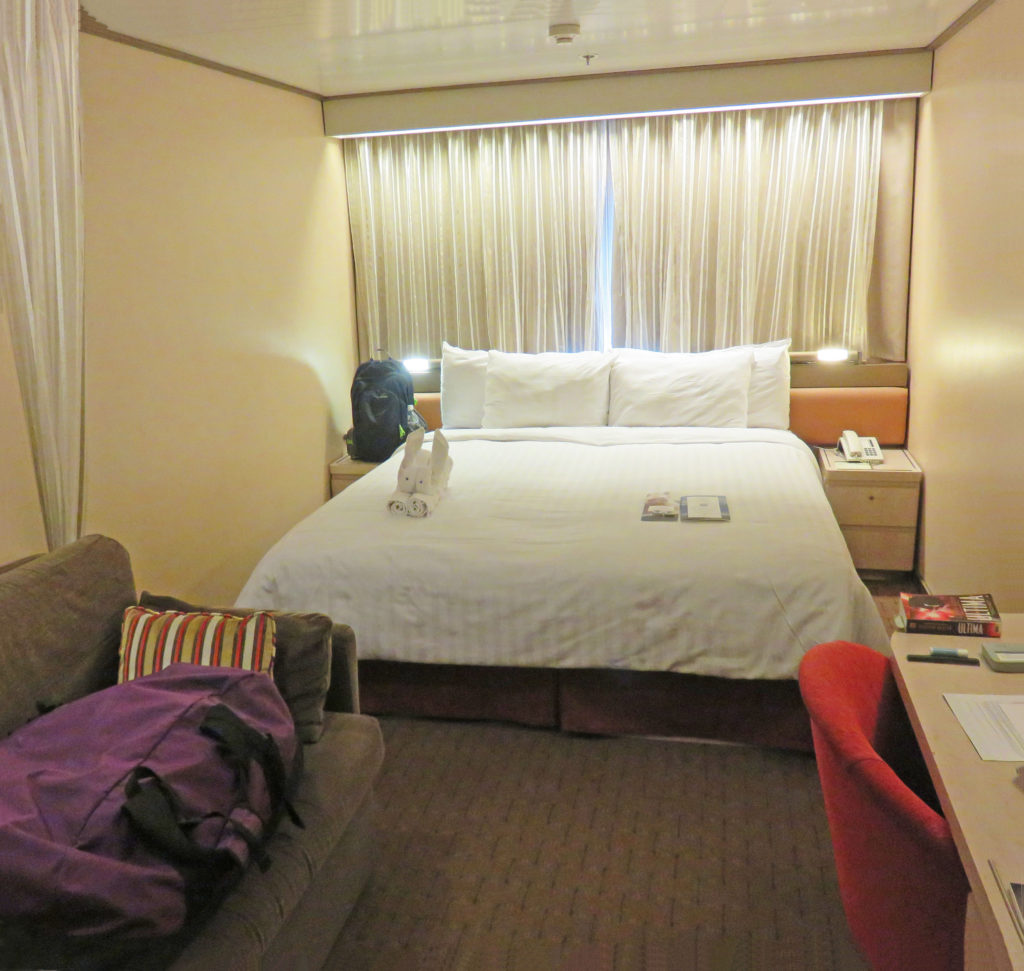
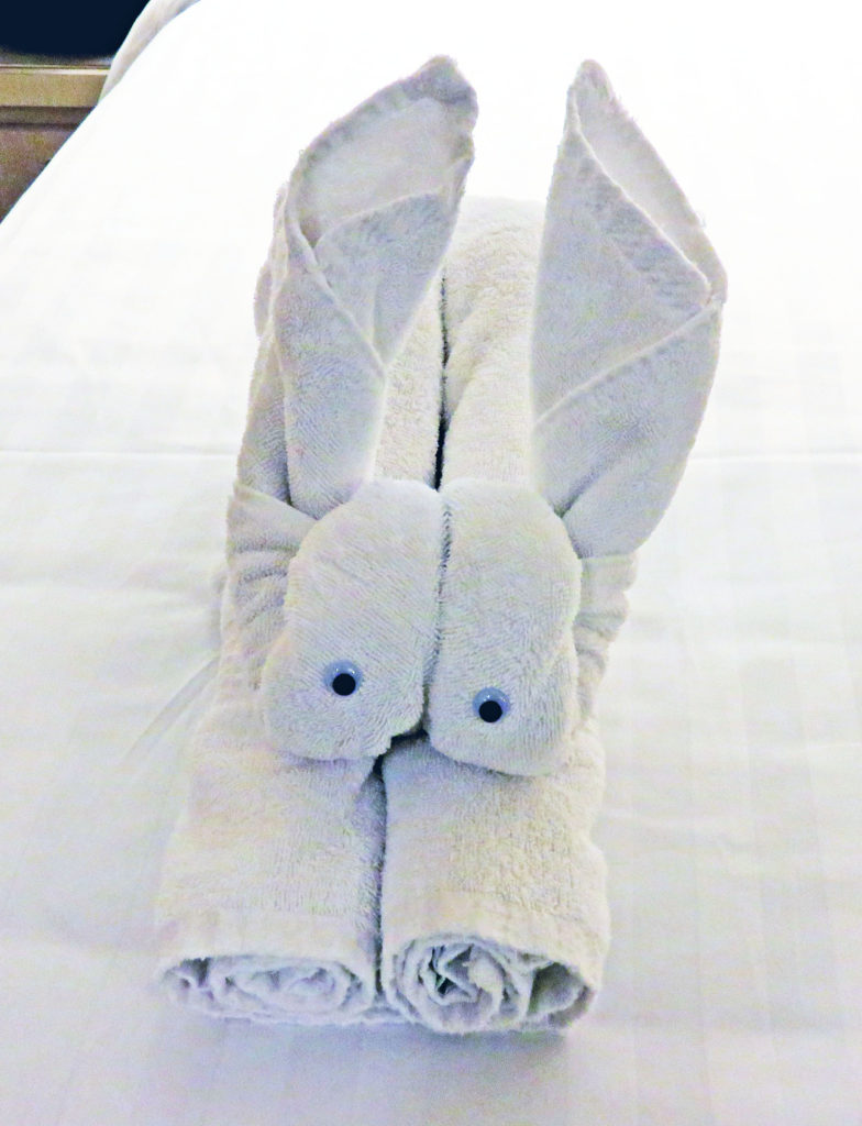
When we arrived back on board the ship it was 5 p.m. and time to eat again. We arrived at the Lido Restaurant for a dinner buffet. At 7 p.m. we joined several people from our land journey at a cocktail party hosted by the captain for newly embarked passengers from Skagway. Later we attended an “Alaska in Concert” event in the ship’s theater. It consisted of silent video clips of Alaska and its wildlife accompanied by live music played by seven musicians on stage. Some of the video clips depicted amazing wildlife activity that we had never seen before. The overall effect was marvelous. Sometime during the show, the ship got underway for Glacier Bay National Park. At 9 p.m., after the concert, we spent time on the top deck enjoying spectacular views as the sun set. When we arrived in our room, we were greeted by a bunny towel animal made by our steward.

Fair winds,
Kathy


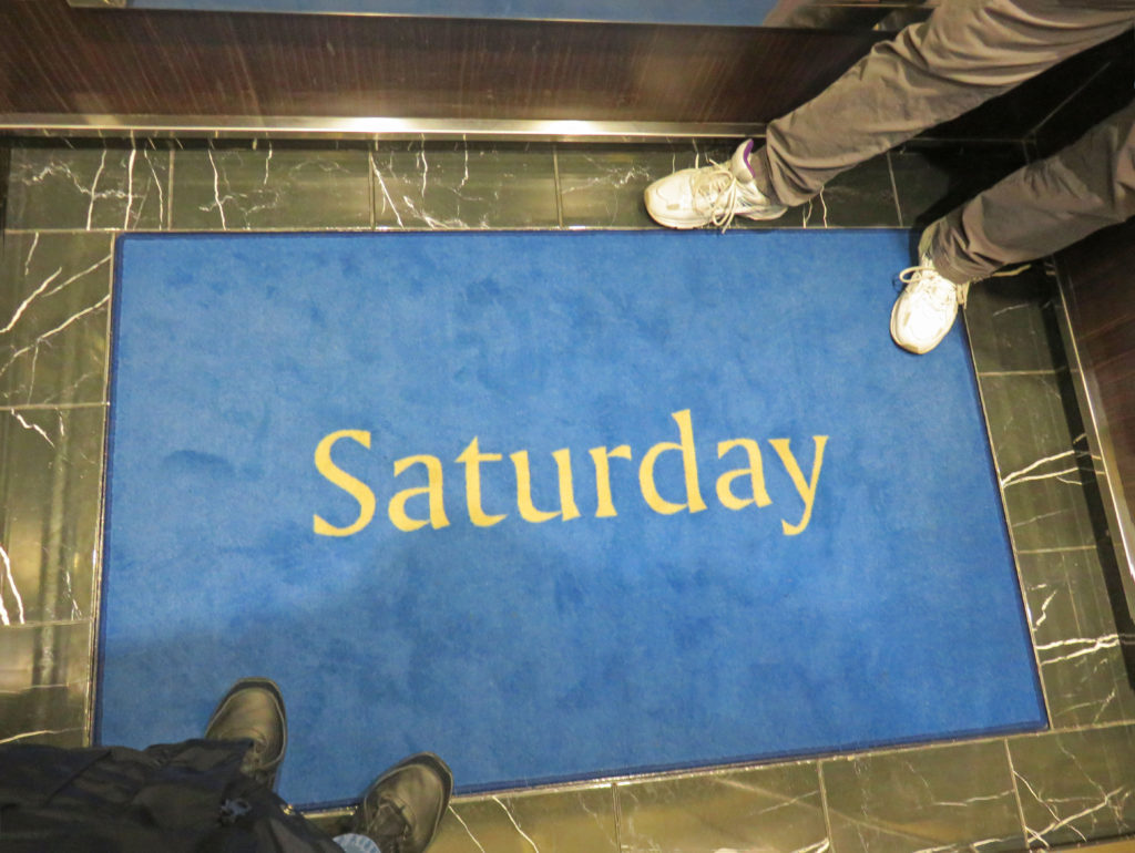
It is Saturday on the Volendam.


Our stateroom for the next four days.


The Lido Pool ready for some action.


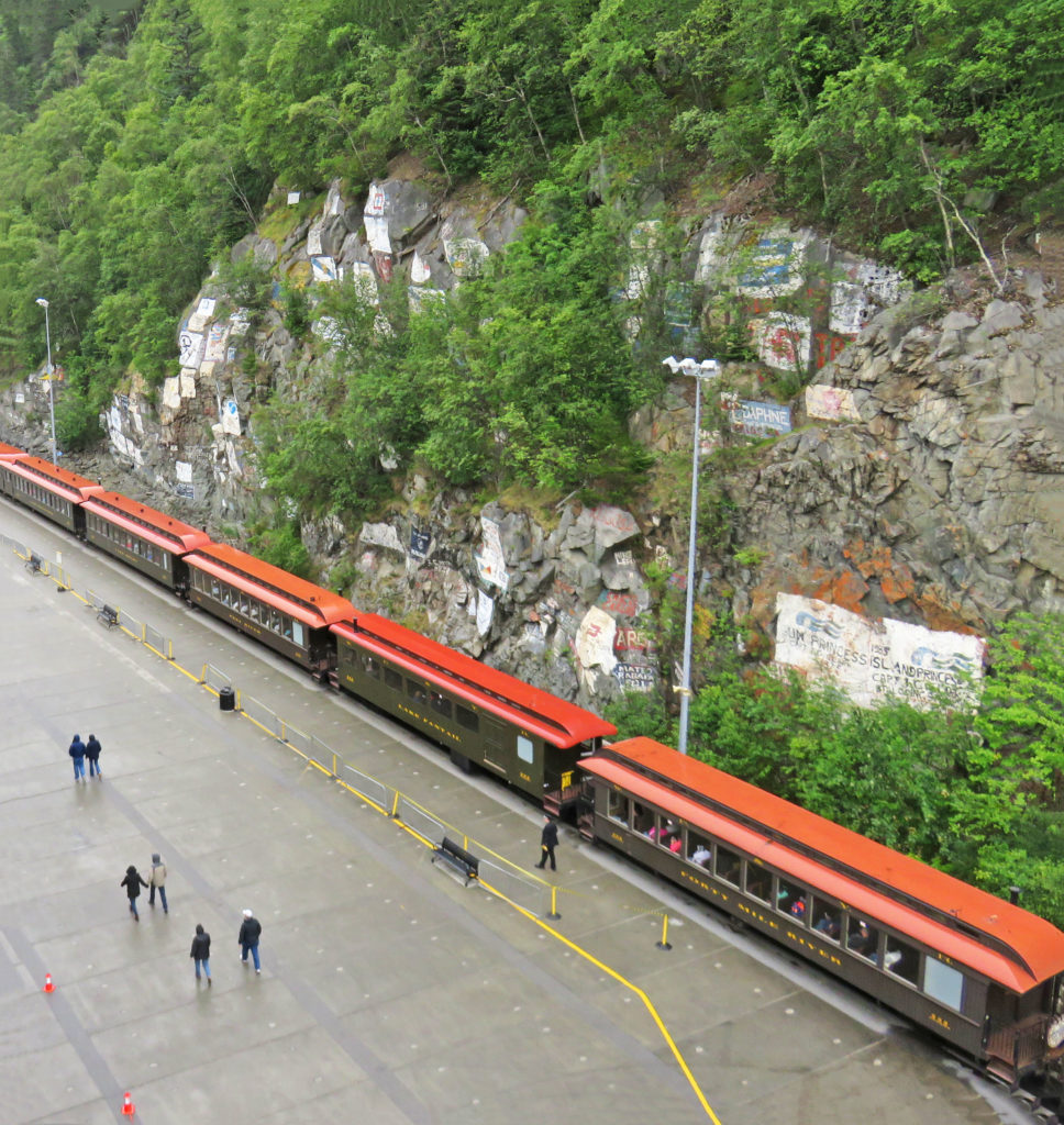
Atop the Volendam looking down on the White Pass and Yukon Route Railroad.


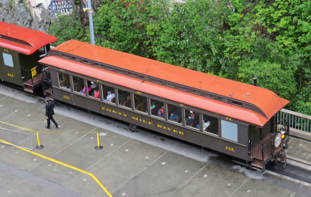
A close up of a WP&YR railroad car.


Another cruise ship lurking behind the Volendam.


Another “dam” ship.


It’s longer than it looks!


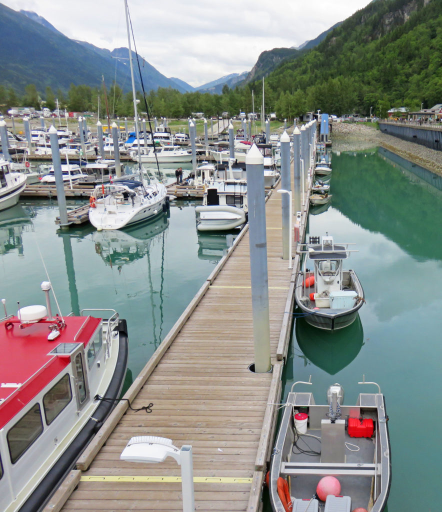
Skagway’s small boat harbor.


The Volendam lassoed to the sea wall!


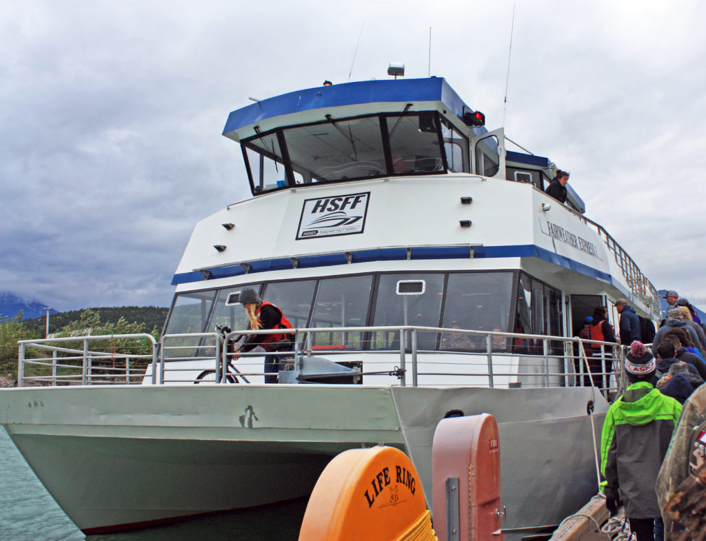
A ferry returning from Haines, Alaska.


A view of Skagway harbor.


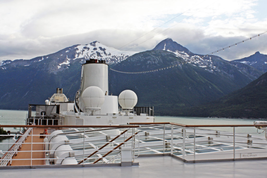
On Volendam’s top deck.


Saying goodbye to Skagway, Alaska.


Heading to Glacier Bay National Park.


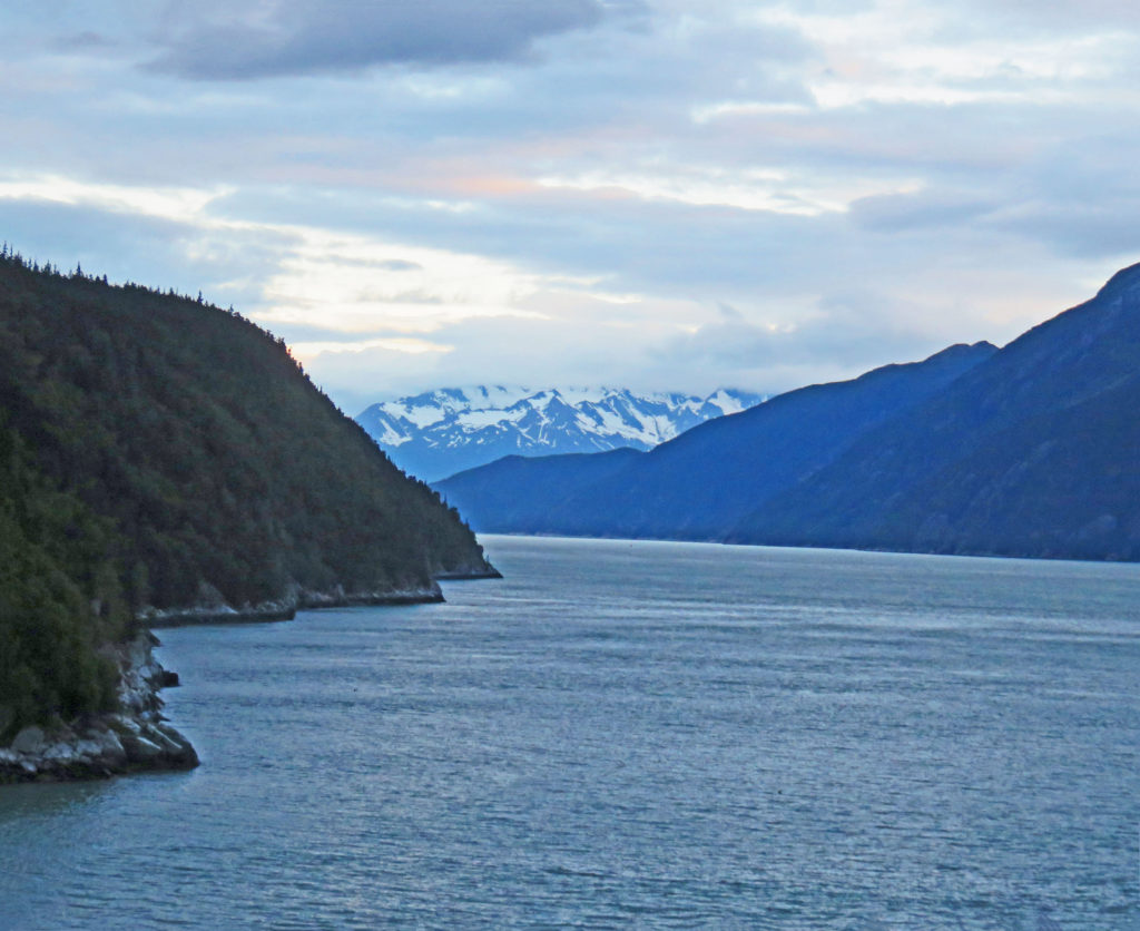
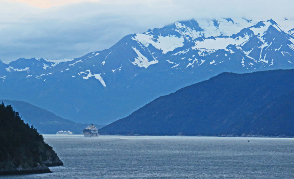
We follow another cruise ship in the Lynn Canal.


The sleeping area in our stateroom.


A cute bunny towel animal made by our steward.


Be the first to comment

Wilderness River Adventure in Haines, Alaska!

Posted December 1, 2017 By admin


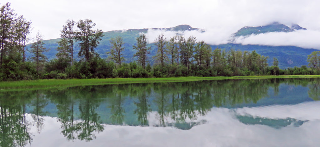
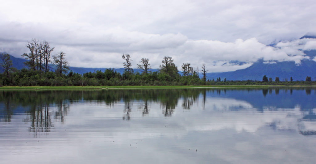
Reflections are mirrored on the “smooth as glass” Chilkat River.


July 28, 2017

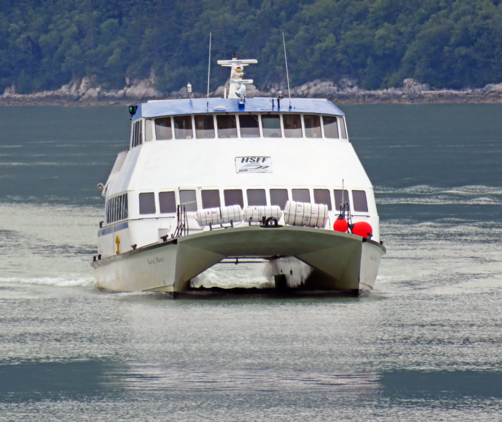
At 7:30 a.m., we were shuttled to Skagway’s small boat harbor to catch a ferry to Haines, Alaska, where we were going on an Alaska Wilderness River Adventure. We were met by a brisk, overcast morning. The sun played hide and seek as the wind blew the clouds across the sky. At 8 a.m. we boarded the Fairweather Express, a high-speed catamaran for our 45-minute trip to Haines, Alaska.

We cruised through the Taiya Inlet, a steep-walled rocky fjord just outside of Skagway and then continued south into the Lynn Canal. The canal is an inlet (not an artificial canal) into the mainland of southeast Alaska. At over 2,000 feet deep, the Lynn Canal is the deepest fjord in North America (outside Greenland) and one of the deepest and longest in the world. As we rode by waterfalls cascading over wooded, granite cliffs, sea lions basked in the sun on lichen covered rocks. Snow-covered mountains in the distance decorated the morning sky.

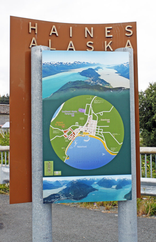
A young woman provided narration about the ferry and our surroundings during the trip. We both spent lots of time on the open, upper levels sightseeing and taking photos. Soon we arrived in Haines, population 2,500. The town is a little larger than Skagway but much less touristy—it’s a year-round working town, not a seasonal hot spot. It’s also the southern-most town in Alaska that’s connected directly to the continental highway system.

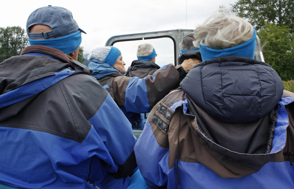
Upon arrival in Haines we boarded a bus for a thirty-minute narrated ride along the Haines Scenic Byway to our Chilkat River adventure. When we reached our destination, we were greeted by our guide and were outfitted with waterproof and windproof jackets, earmuffs, gloves and lap blankets to wrap up in just in case the weather was cool or wet.

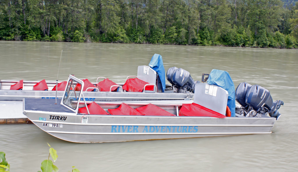
The boat was designed for shallow water and was powered by three very quiet outboard motors equipped with jet discharges instead of propellers. Kind of like a jet ski on steroids! Personally, I was especially thankful for the comfortable, cushioned bench seats. Before our guide revved up the engines we went through a safety brief. He also told us that if we fell overboard during the ride we should stand up since the water depth throughout the trip would be about waist deep.

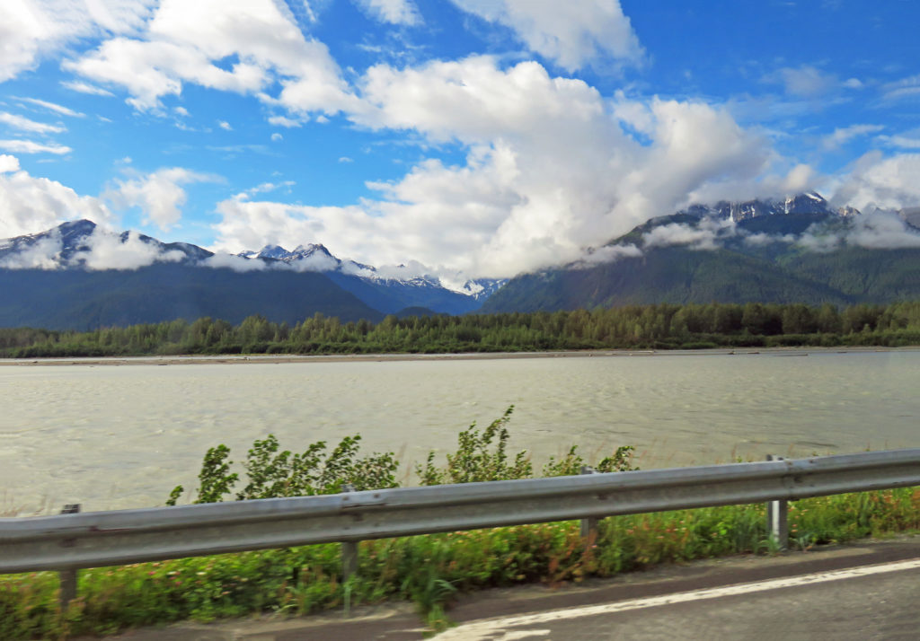
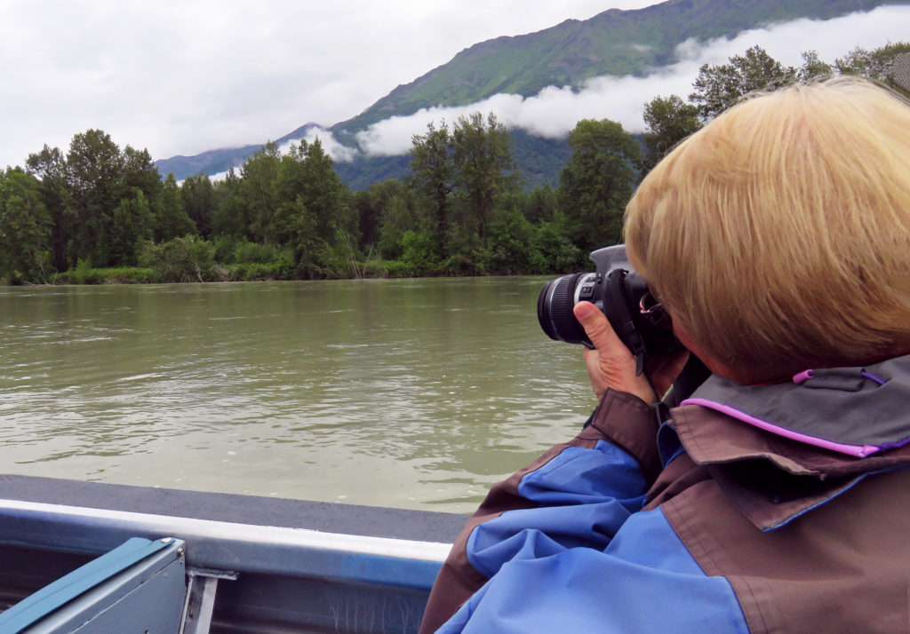
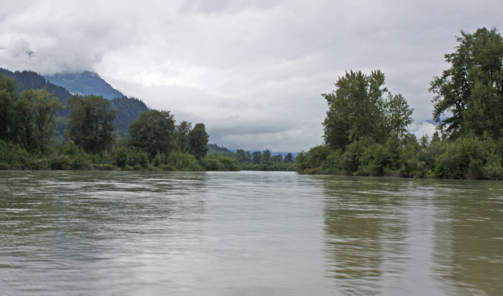
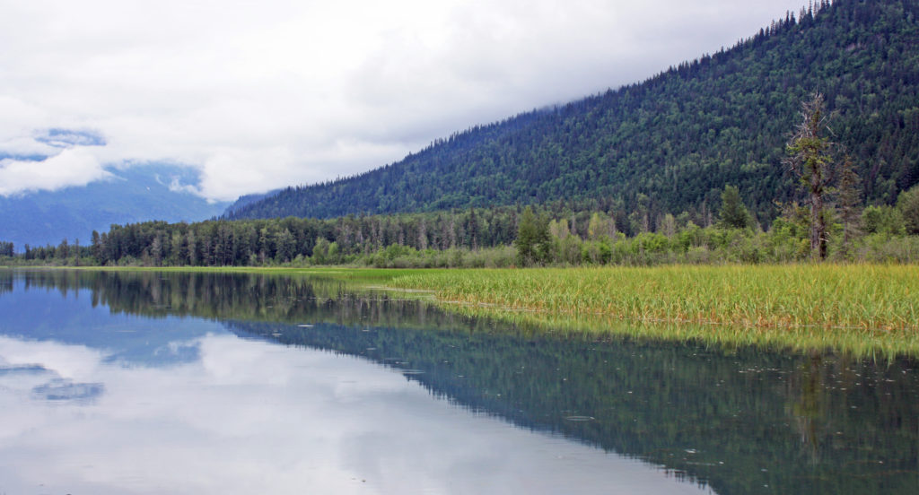
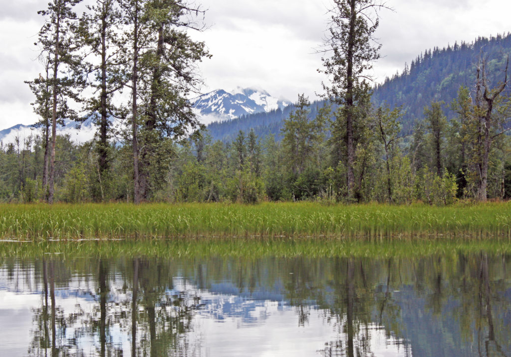
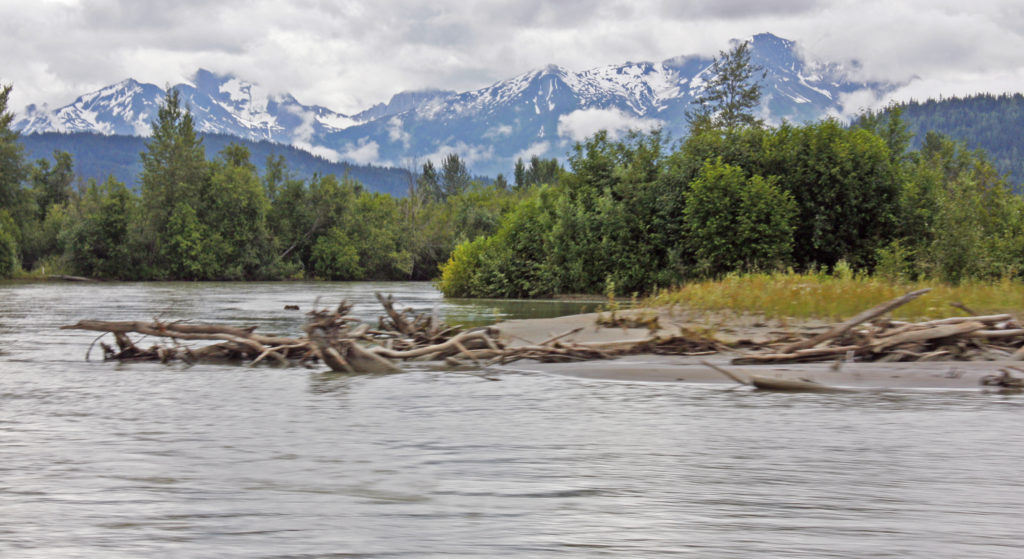
As we started out on the silt-laden Chilkat River I was ready with camera in hand to explore the vast wilderness. Along with being the shallowest navigable river in North America, the Chilkat is glacial fed and a braided river system with many different channels. Our guide took us at varying speeds for miles through the river’s twisty streams. It would have been a bone-chilling experience without all of the warm outerwear. We were constantly on the lookout for critters and occasionally stopped completely to search. About the only animals cooperating that morning were bald eagles.

Twenty miles into the wilderness we were in the Chilkat Bald Eagle Preserve, home to the largest congregation of bald eagles in the world each fall. As we motored along we saw several bald eagles flying and others perched in trees. At the furthest point in the trip we arrived in a relatively quiet area of the river a few miles from the Canadian border. We were in a part of the river where salmon spawn and could see numerous large red-colored salmon zipping through the waters beneath us.

After an hour and a half on the river it was time to return to the River Adventure dock. When we arrived, we turned in our borrowed clothing items and sat down in a heated pavilion to a very welcome lunch of hotdogs, chili, chips, dessert and hot chocolate. I thoroughly enjoyed the River Adventure tour, in fact it was one of the highlights of my Alaska trip. After our ferry ride back to Skagway it was 2 p.m.

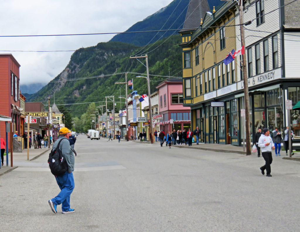
On our way back to our hotel we explored the town of Skagway, population 1,057. Like many other area towns, it was born during the great Klondike gold rush. In 1898, Skagway sprouted into a tent city of 10,000 inhabitants with over 80 saloons. Today a seven-block corridor along Broadway Street features historic false-front shops and restaurants, wooden sidewalks, and restored buildings, many of which are part of the National Park Service-managed Klondike Gold Rush National Historic Park.

Later,

Kathy


Skagway’s small boat harbor.


We get ready to board a ferry to Haines, Alaska.


Cruising through the Lynn Canal.


Snow-covered mountains in the distance decorated the morning sky.


Sea lions basked in the sun on lichen covered rocks..


We arrive in Haines, Alaska.


Haines, Alaska in all of its magnificent beauty.


Welcome to Haines.


Our bus drives along the Haines Scenic Byway.


A wide, open air, flat-bottom river boat awaits us.


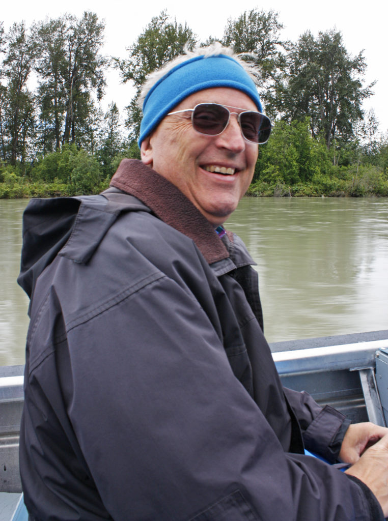
Rodge enjoying his adventure on the Chilkat River.


Kathy taking photos of the magnificent scenery.


The silt-laden Chilkat River is the shallowest navigable river in North America.


The rest of our crew taking in the sights.


The surrounding landscape casts a reflection on the shallow Chilkat River.


A bald eagle hiding in a tree.


In a relatively quiet area of the river not far from the Canadian border.


Here we could see numerous red-colored salmon zipping through the waters.


Snow-covered mountains form a backdrop behind the rapidly flowing river.


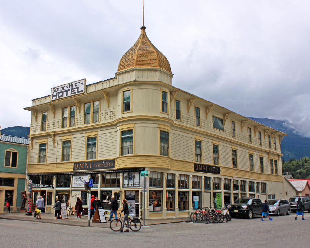
A blustery day in downtown Skagway, Alaska.


This historic hotel was built in 1898. It is the oldest operating hotel in the state.


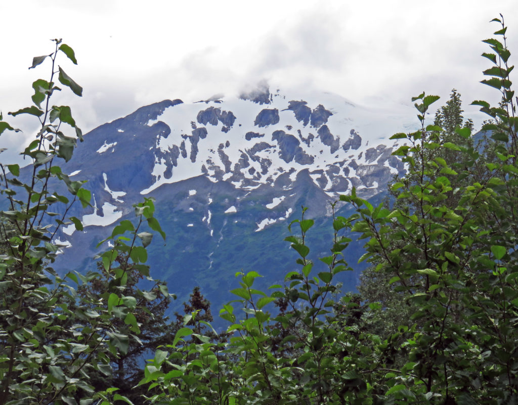
It’s snowing on the mountain overlooking Skagway!


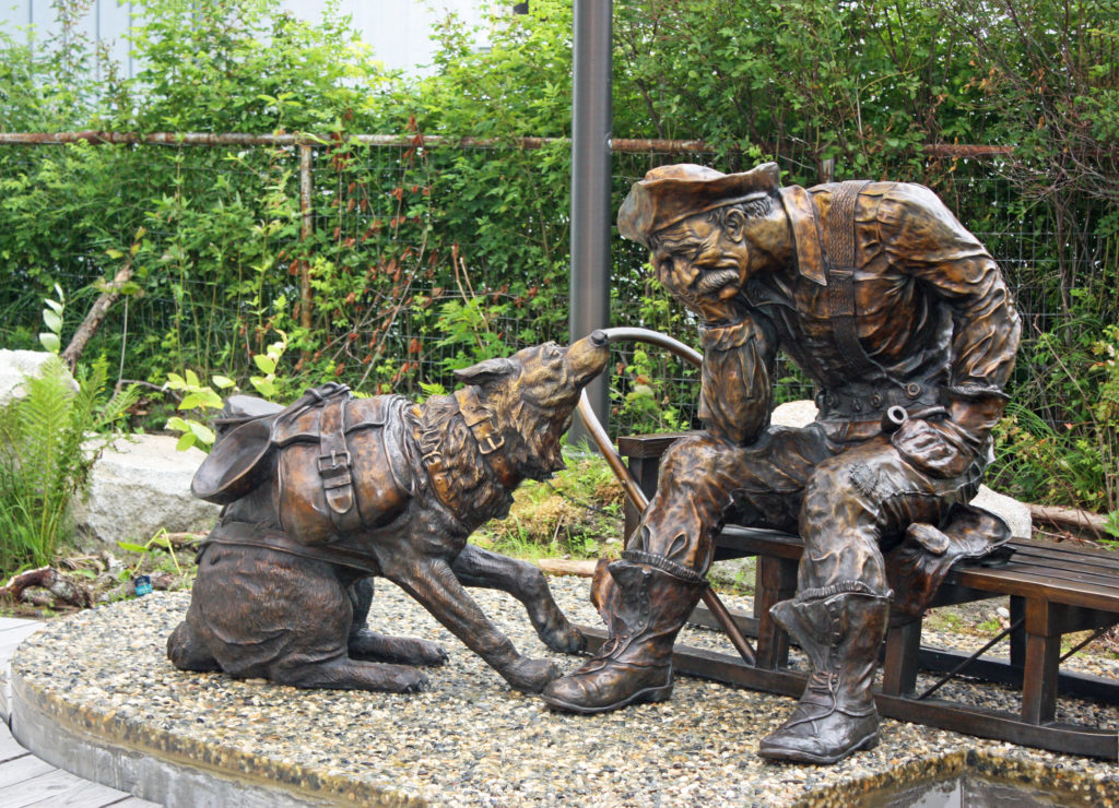
An impatient sled dog coaxes his master. “There’s gold in them there hills.”


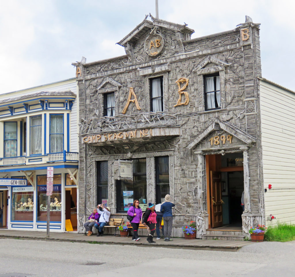
Only remaining example of early 1900’s Alaskan driftwood architechture.


Be the first to comment

Back in the U. S. A. in Skagway, Alaska.

Posted November 27, 2017 By admin


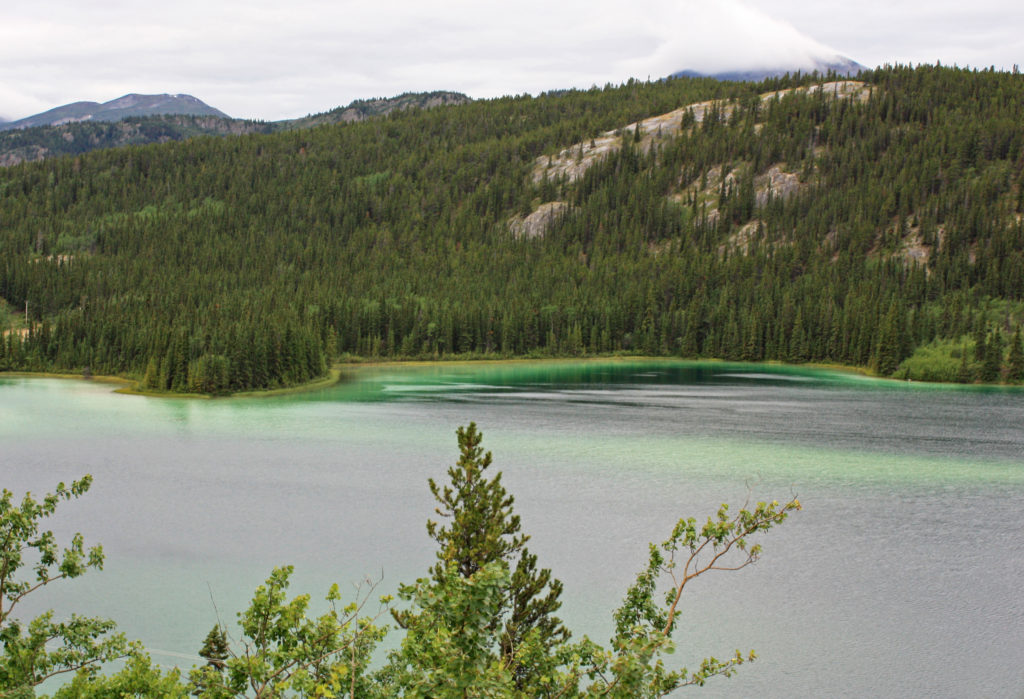
Beautiful Emerald Lake sparkled like a gem in the morning sun.


July 27, 2017 

At 7 a.m., we boarded our coach for a three-hour trip to Fraser, British Columbia. Our travels started early because we had to be in Fraser before 11 a.m. to catch the White Pass and Yukon Route train for Skagway, Alaska. As we set off down the Klondike highway we were greeted by a misty, cool, windy morning.

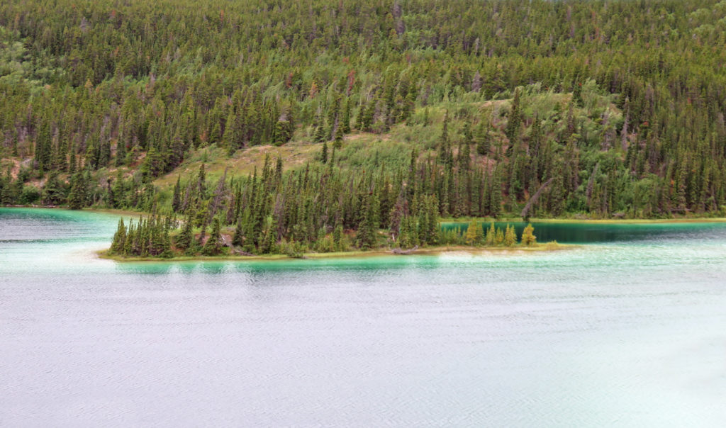
Thirty-six miles down the road we stopped by beautiful Emerald Lake. The turquoise lake, colored by light reflecting off deposits of clay and calcium carbonate, sparkled like a gem in the morning sun. The high concentration of calcium carbonate in the water came from limestone gravel eroded from nearby mountains and deposited 14,000 years ago by the glaciers of the last ice age.

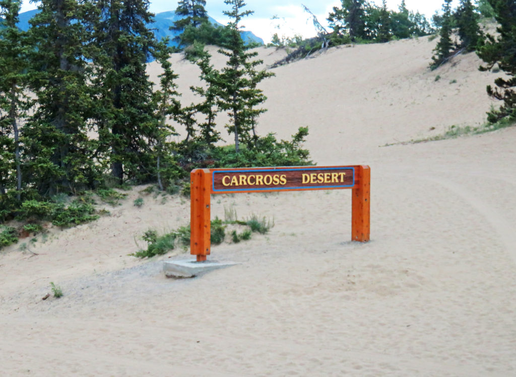
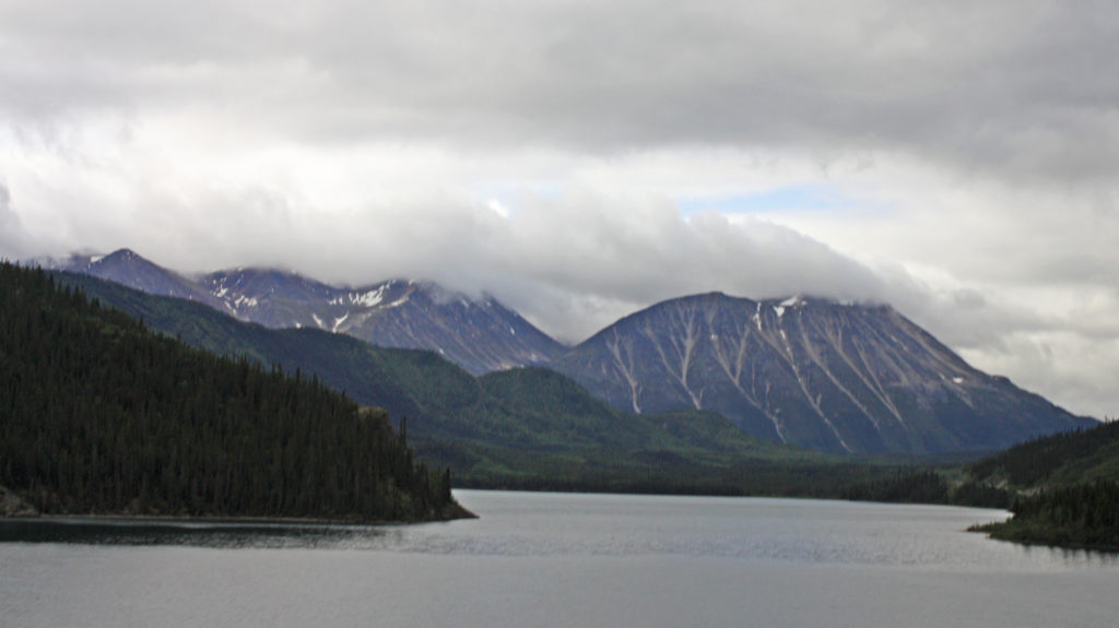
Back on the bus, we motored down the road until we came to another wonder of nature, the Carcross Desert. Yes, the Yukon is home to the smallest desert in the world, less than one square mile of rolling dunes. The desert is the remains of the sandy bottom of a glacial lake left after the last ice age. Dry climate and strong wind conditions created the sand dunes and allows little vegetation to grow. Pretty amazing!

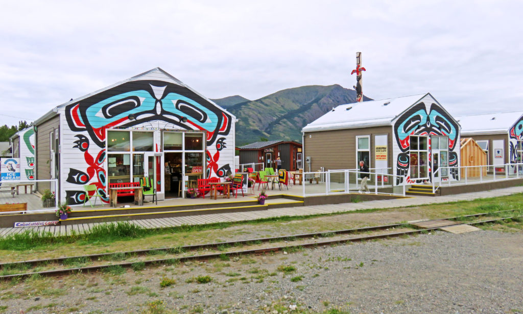
Just past the desert we arrived in Carcross, a charming lakeshore village of 450 residents and home to the Carcross/Tagish First Nation. Carcross, the shortened form of its original name Caribou Crossing, began in 1896 during the Klondike Gold Rush. At the time, Caribou Crossing was a popular stopping place for prospectors going to and from the gold fields of Dawson City. Upon the completion of the White Pass and Yukon railway in 1900, Carcross became a major transportation center until the railroad shut down in 1982. In 1988 the railroad reinvented itself as a tourist attraction. Today tourism drives the local economy.

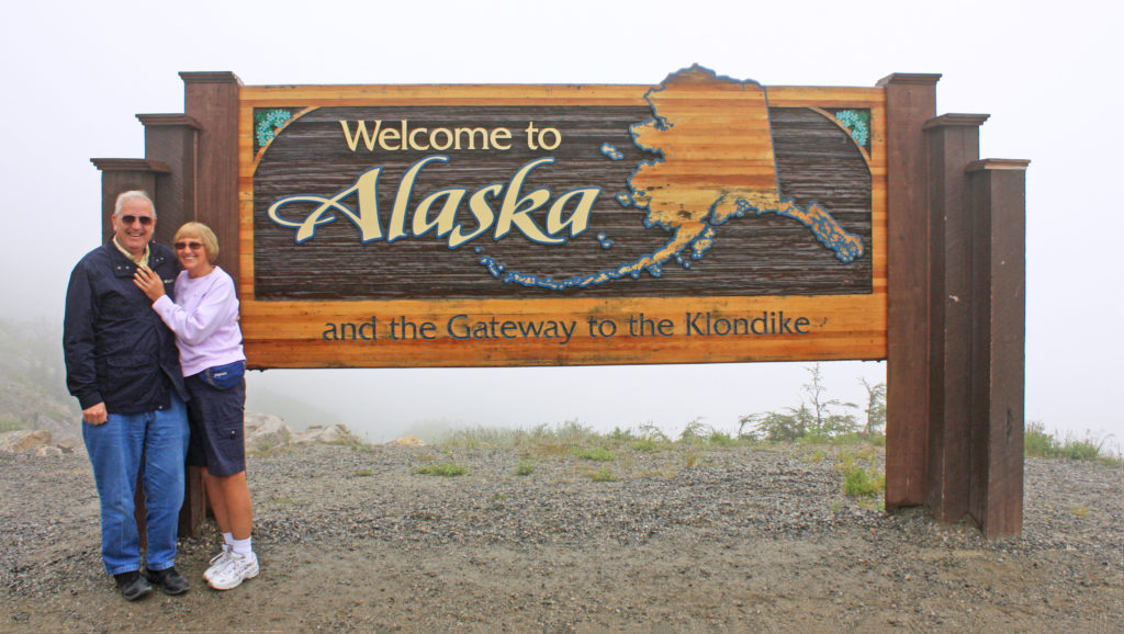
After our twenty-minute rest stop in Carcross, we continued down the road fifteen miles where we crossed over into the province of British Columbia. We were now close to the town of Fraser, where we would board a train for our two-hour trip to Skagway. When we arrived at Fraser, also a Canadian customs checkpoint, we were allowed to go through and cross the border into Alaska so we could stop for pictures at the “Welcome to Alaska “sign. Then we turned around and proceeded back into Canada. On our way back to Fraser we stopped for a bathroom break at Outhouse Hill Pullout, a parking lot with wonderful scenic views and two outhouses.
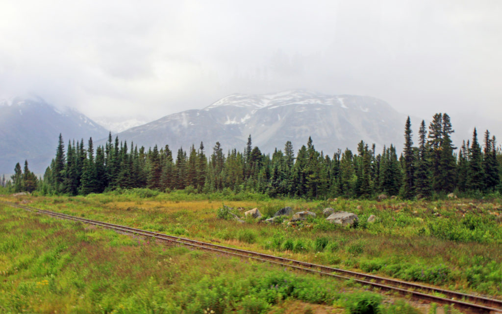
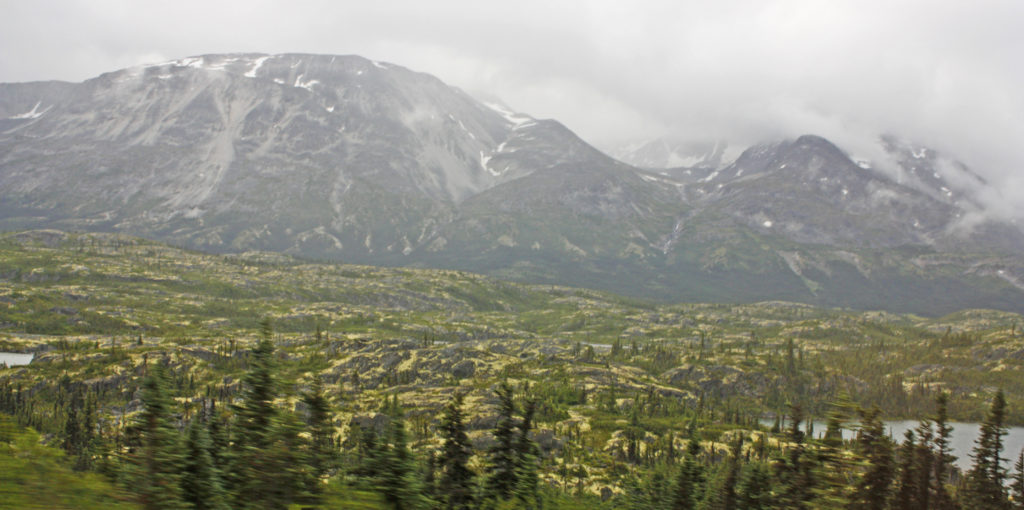
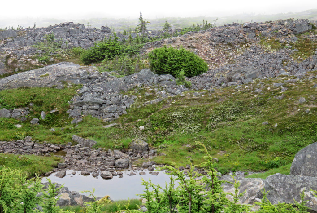
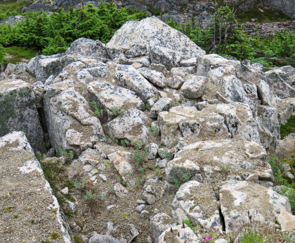
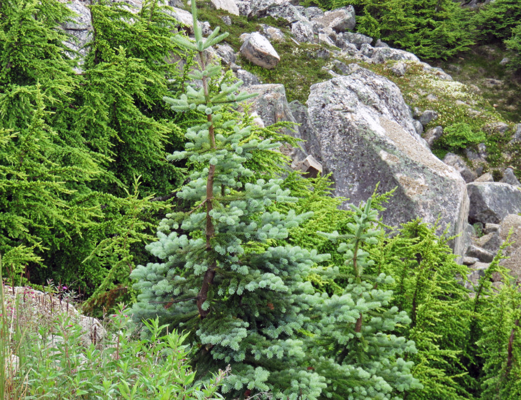
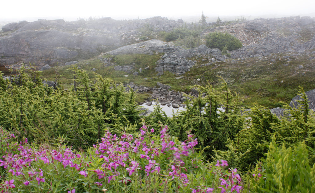
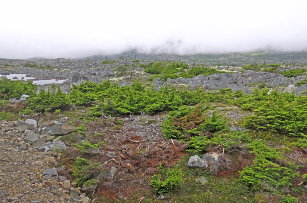
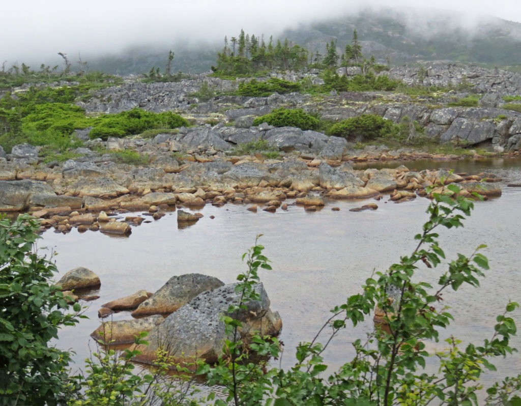
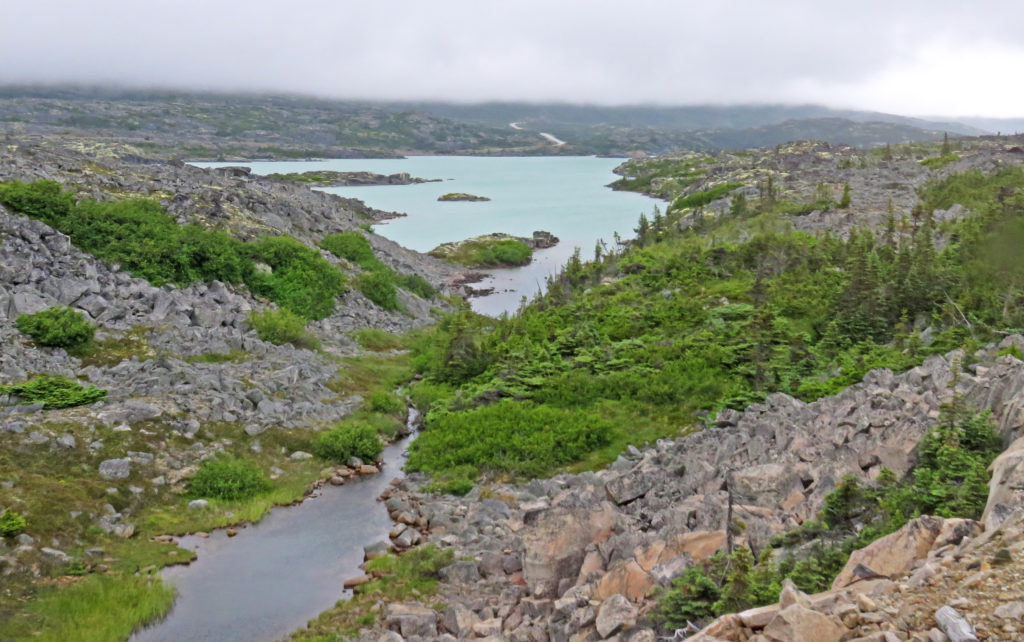
The mist-covered area showed a highly twisted landscape called the Tormented Valley. The valley contained large areas having an almost “lunar” appearance, making this one of the most unique eco-systems in North America. Within this stark landscape are geological formations made by the intrusion of molten magma. I was struck by the barren beauty of the harsh landscape that was covered with gray rock, bright green moss, yellow lichen, dwarfed conifers and tiny lakes.
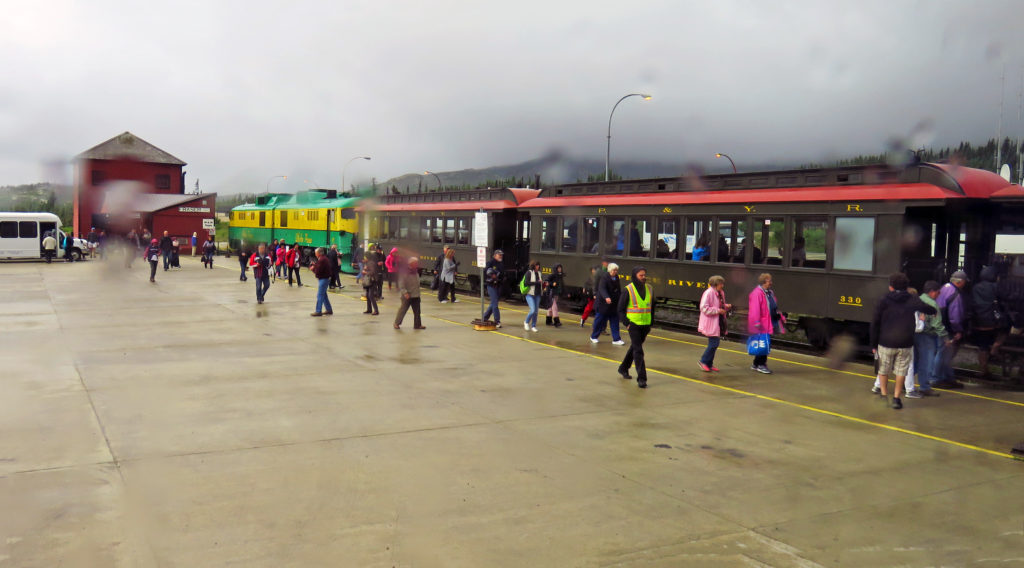
When we arrived back in Fraser we went through Canadian exit customs and then at 11 a.m. boarded the White Pass & Yukon Route Railroad. In its heyday, the railroad’s original purpose was to transport ore and supplies from Skagway to Whitehorse. Today the three-foot wide narrow-gauge railroad runs sixty-seven miles from Carcross, Yukon to Skagway, Alaska and provides popular scenic excursions for tourists.
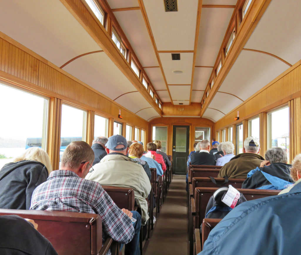
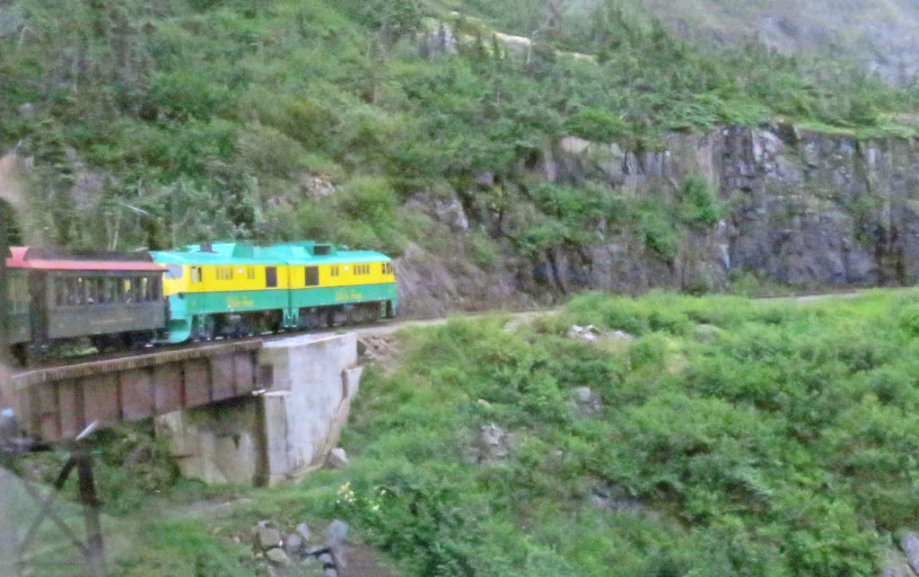
As we waited for our two-hour ride to begin we admired the fully refurbished train. Pulled by a restored diesel locomotive, the train was of vintage design with large picture windows, padded bench seats and backs, an outside viewing platform, a lavatory and a wood stove in each car. It was a cold, blustery day so we were happy to be near the wood stove.
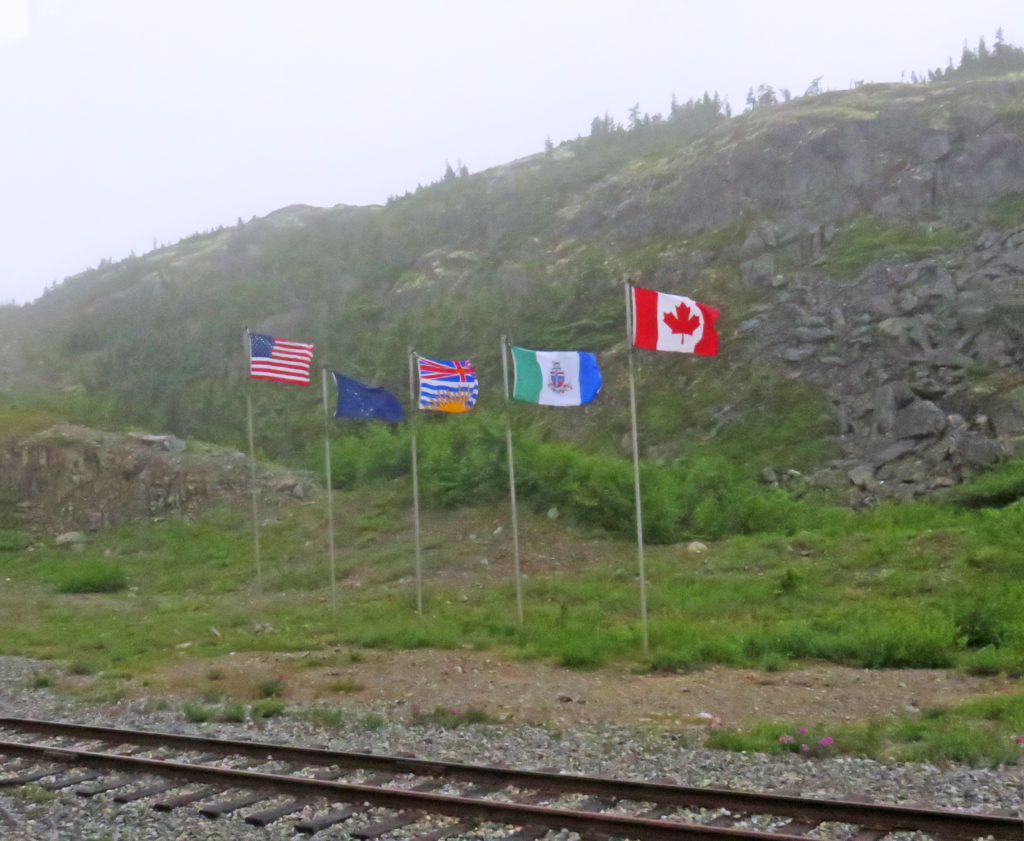
All Aboard! At 11:20 a.m. our 28-mile journey began south through the Tormented Valley. Seven miles later, after climbing a 3.8% grade (the steepest on the line) we arrived at White Pass Summit (elevation 2,885 feet). We were at the official border between the United States and Canada. There was a display of five flags representing Canada, the United States, Alaska, British Columbia and the Yukon Territory. As we started down the pass the mountain and stream views were incredible.

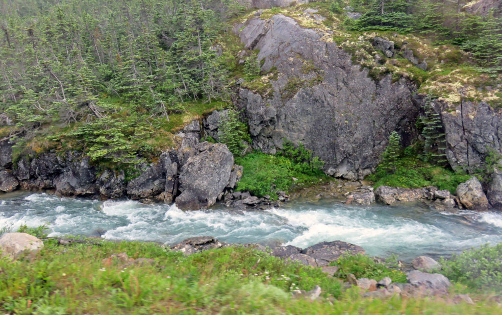
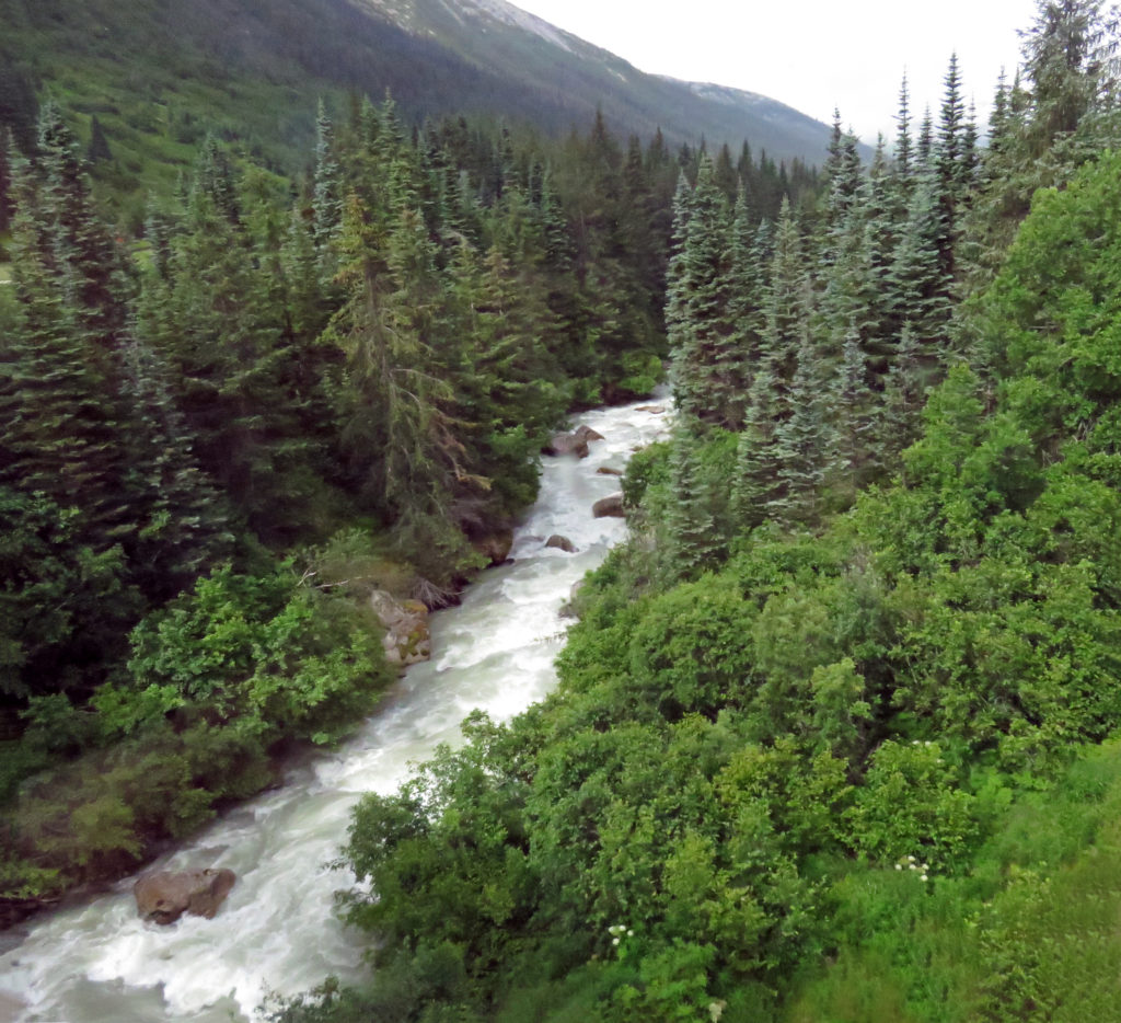
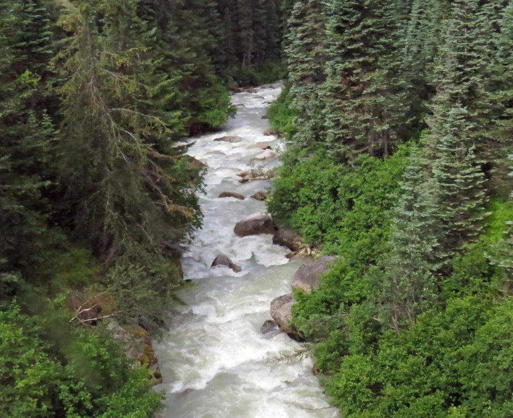
During the ride we had commentary by our trip guide on our surroundings, the construction of the railroad and stories of the Gold Rush. Rodge and I took turns going to the outdoor viewing platform to take pictures. The terrain, blanketed in mist, was still waiting for the warm presence of the noonday sun. As the mist started lifting, we experienced breathtaking views. Rushing streams, splashing over multi-shaped rocks, flowed downhill with endless energy. It was a glorious time to be riding on the WP&YR Railroad.
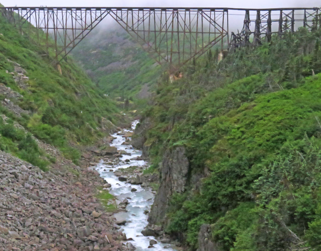
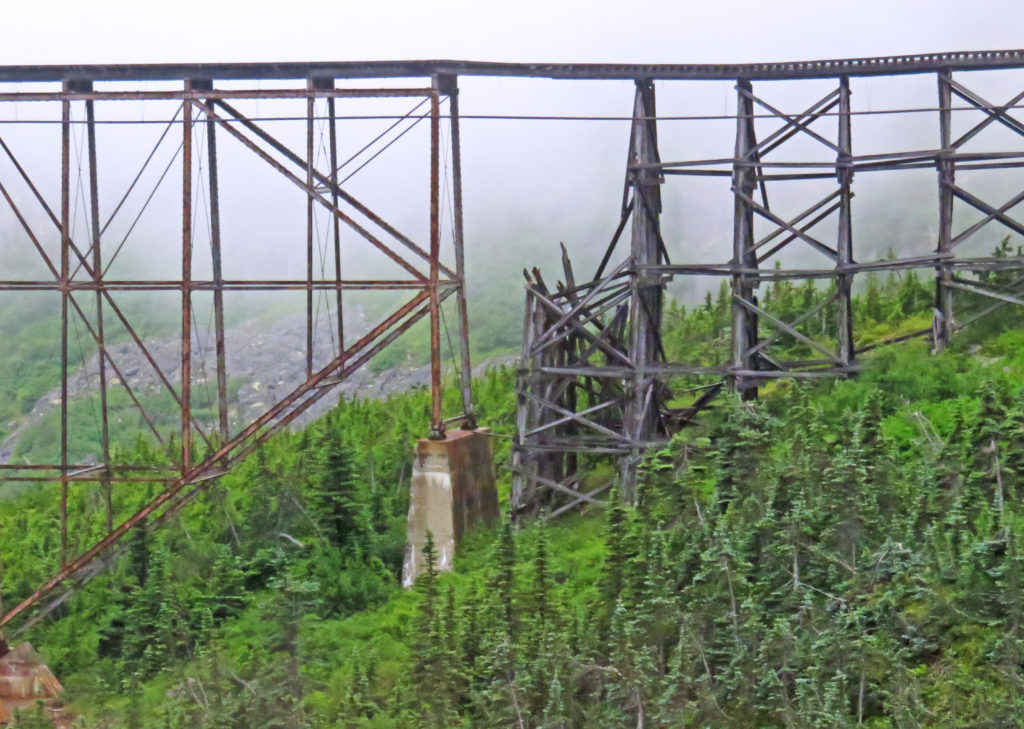
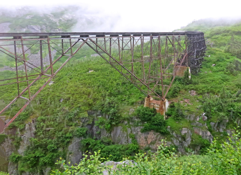
At mile 18, we came to our first tunnel. In 1969 the 675-foot tunnel was driven through the mountain so that a new route could be built to bypass an old cantilever bridge. A new bridge was constructed to replace the old existing bridge. With heavier trains carrying ore from the Yukon to Skagway, a stronger bridge was needed to carry the extra load. When we emerged from the tunnel we could see the 215-foot-long old bridge still standing looking tired and worn. It had been constructed in 1901 and at the time it was the tallest cantilever bridge in the world. Two miles later we went through Tunnel Mountain and over a wooden trestle bridge built during the original construction of the railroad in 1900.

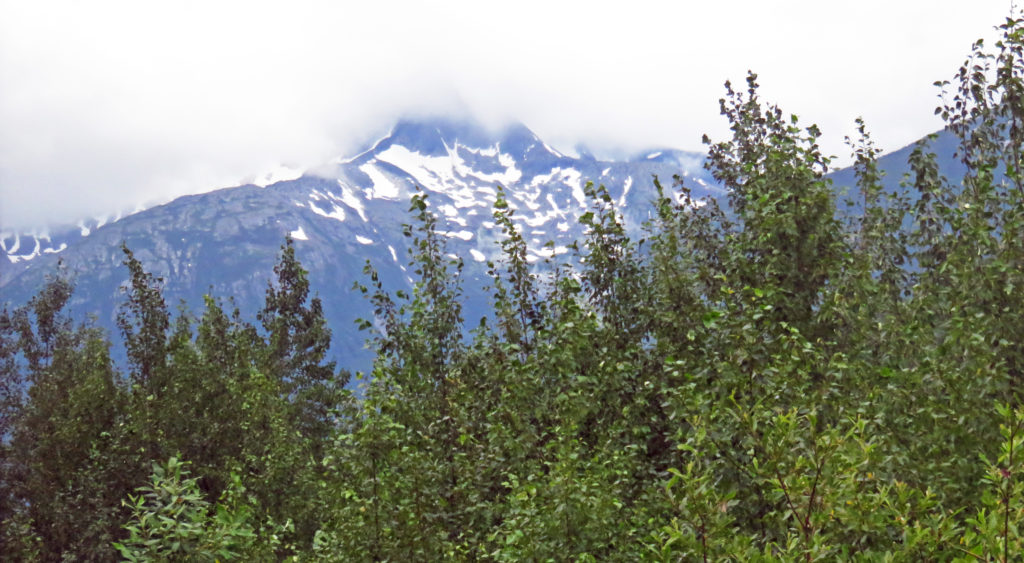
As the train continued to drop in elevation we started shadowing the Skagway River. Panoramic views of the snow covered Chilkat Range could be seen in the distance. Along the way, the train made a stop to pick up a group of hikers. Our trip was slowly coming to an end. As we rolled into Skagway, U.S. Customs inspectors came through the train to check our passports. I tried not to look too shady and flashed a wide mouth smile. We thoroughly enjoyed our ride on the White Pass & Yukon Route Railroad.

Later,

Kathy


Emerald Lake was colored by light reflecting off deposits of calcium carbonate.


Carcross Desert, the smallest desert in the world.


The charming lakeshore village of Carcross.


Mountain scenery on the way to Fraser, B.C.


Picturesque scenery on the way to Fraser, B.C.


The stark landscape of the Tormented Valley.


Rodge and I pose by the “Welcome to Alaska” sign.


Our coach shrouded in fog.


Scenes from the Tormented Valley.


Gray rock covered with lichen.


Large gray rock formations surrounded by small conifer trees.


Beautiful flowers decorate the barren landscape.


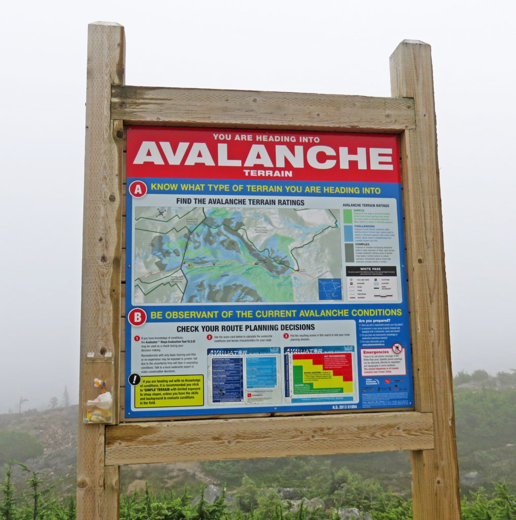
Avalanche Terrain.


We board the White Pass & Yukon Route Railroad.


The inside of a fully refurbished train car.


A stream rushes by as we climb up to White Pass.


Stark terrain covered with bright green flora.


The terrain, blanketed in mist, was waiting for the warm presence of the sun.


A small lake is spotted from the outside viewing platform.


At the White Pass Summit, the official border between the U.S. and Canada.


A colorful diesel locomotive pulls the train.


The old cantilever bridge built in 1900.


The tired and worn bridge.


Back in 1900, this was the tallest cantilever bridge in the world.


The beautiful Skagway River.


The Skagway River rushes over multi-shaped rocks.


We are closing in on Skagway, Alaska.


Be the first to comment