Home » 2017 » December

Archive for December, 2017

Ketchikan, Alaska’s 1st City.

Posted December 13, 2017 By admin


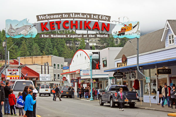
The welcome arch in downtown Ketchikan, Alaska.


July 31, 2017

It was another glorious morning on the Volendam as we pulled into Ketchikan, Alaska. It was our second time visiting Alaska’s southernmost city. We waited for the mad rush ashore to subside then donned our backpacks and went exploring. On our way down the ship’s gangplank, we were greeted by Ketchikan’s welcome arch, which read, “Welcome to Alaska’s 1st City”. With a population of 8,050 in its city limits it was the first community one encountered while heading north along Alaska’s Inside Passage.

Our first stop on the waterfront was the Ketchikan Visitors Bureau where we acquired information on tours. We decided to explore Ketchikan on foot. Our journey began at the welcome arch in the touristy downtown area. We left the shops behind and headed north to Whale Park. The small park decorated with flower gardens created an inviting setting for the Chief Kyan Totem Pole, which was a replica of a pole raised in the 1890s for the Tlingit chief.

We turned right onto Stedman Street and walked along Thomas Basin Boat Harbor where we took in views of the waterfront. Soon, we arrived at Thomas Street, a wood-plank street built over the water. Thomas Street, lined with historic buildings, was once part of the New England Fish Company cannery.

It was a gorgeous blue-sky morning to be out and about in Ketchikan. Our walking tour took us up Deermount Avenue to the Totem Heritage Center where an extensive display of weathered, original totem carvings can be found. Ketchikan has the largest collection of totems found anywhere in the world. There are over eighty poles scattered throughout the city. Some are ancient poles kept in climate-controlled protection, several are standing poles raised almost a century ago, while others are recently carved replicas.

We continued our walk until we arrived at Deer Mountain Hatchery situated along Ketchikan Creek. Deer Mountain is one of the oldest hatcheries in Alaska. The facility raises fish to supplement the wild stocks of Alaska salmon and rears approximately 500,000 juvenile chinooks annually. The hatchery backed onto a small but charming park, with ornamental ponds and paved paths.

We explored the sights along Park Ave and followed Ketchikan Creek. We were on the lookout for salmon. In the summer months, the creek is one of the best places to see salmon gather by the thousands to spawn upstream. We stopped by a concrete fish ladder and watched salmon try to jump up rushing waterfalls to return to their native streambed. None appeared to be using the ladder, a series of pools arranged like steps that allow fish to travel upstream around the falls.

As we continued on our tour, we discovered another wooden walkway constructed along the shores of Ketchikan Creek. Historic Creek Street was built over the water because it was too difficult to blast away the rocky hills surrounding the creek. The antique boardwalk perched on wooden pilings used to be lined with bordellos that catered to anglers and bootleggers. Now it is one of Ketchikan’s best tourist attractions and a home to historic buildings filled with picturesque shops and restaurants.

We walked through the shops looking at craft items, tourist souvenirs and Alaskan gold jewelry. The most famous brothel, known as Dolly’s House, is still on the boardwalk and it has been preserved as a museum right down to the original furnishings. Instead of touring the house we opted to continue down the street for some ice cream. We boarded the ship at 3 p.m., retired our backpacks and relaxed on the open-air aft end of the Lido Deck.

It was fun to watch the harbor activity, as there were several other cruise ships nearby, one of which was anchored and shuttling its passengers to and from shore with small boats. The area of water near the ship was also used as the “runway” for a constant stream of seaplanes that were landing and taking off. At 6 p.m. the Volendam cruised out of Ketchikan. Tuesday we would have a full day at sea sailing through the Inside Passage before we arrived Wednesday August 2, 2017 at our final port in Vancouver, British Columbia.

Fair winds,
Kathy
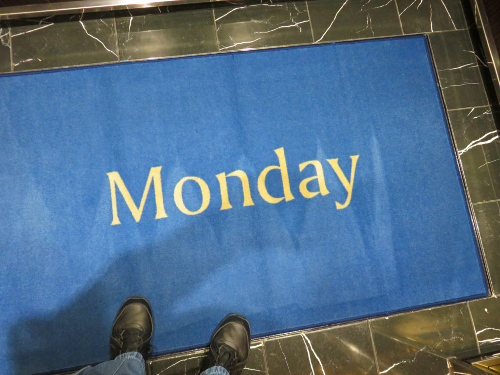
 

It’s Monday on the Volendam.
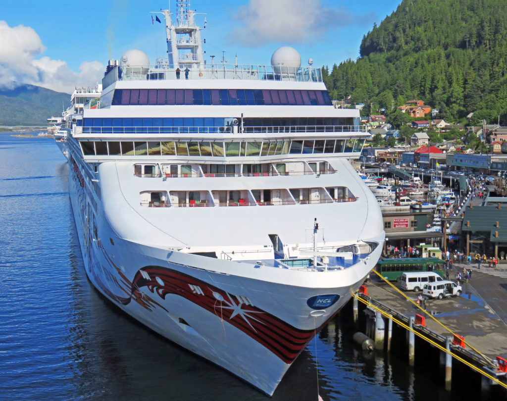
 

Looking down on another cruise ship in port.
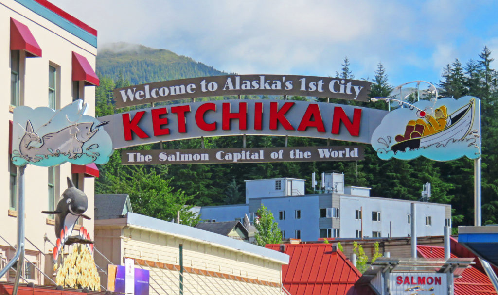
 

We start our walking tour in Ketchikan.
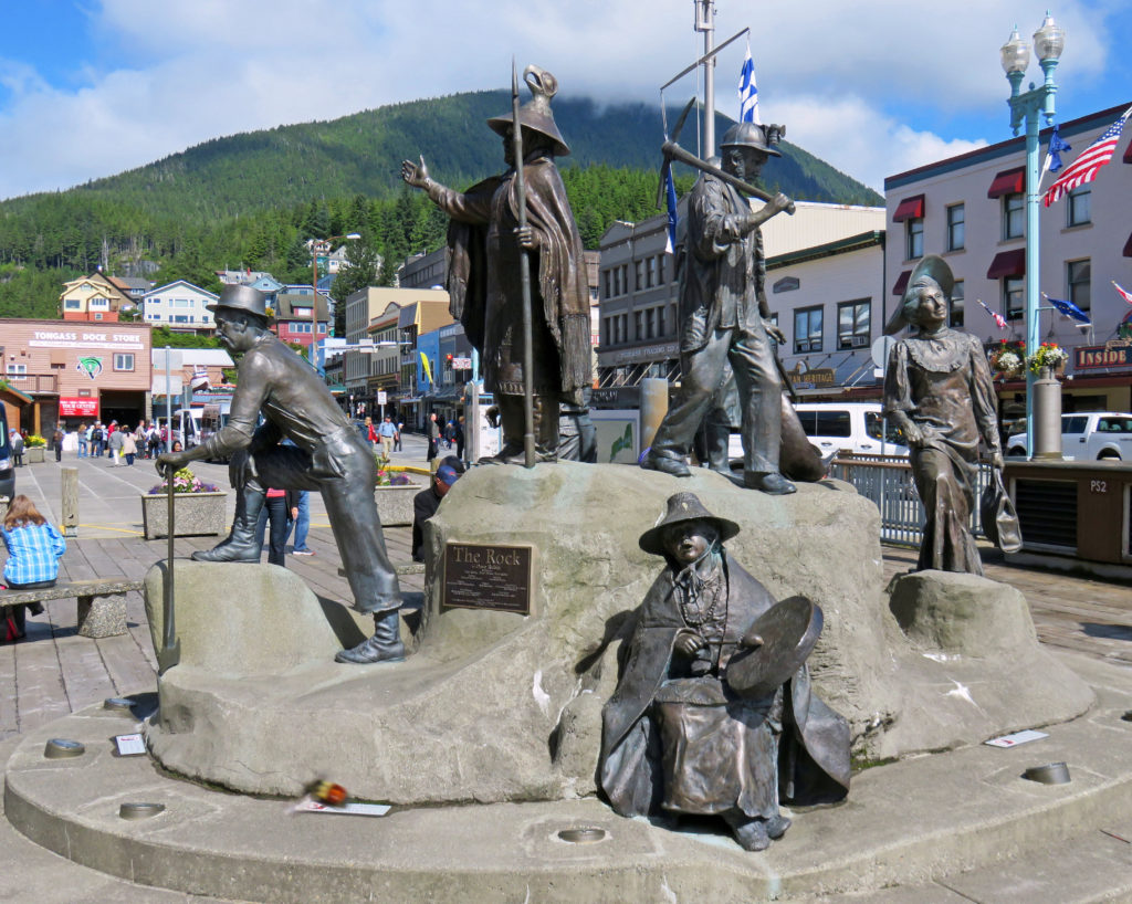
 

“The Rock” a monument representing Ketchikan’s first people and pioneers.
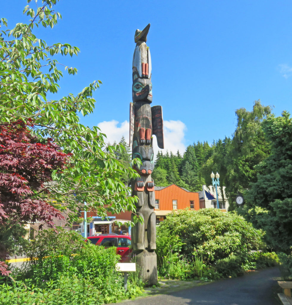
 

A replica of the Chief Kyan totem pole in Whale Park.
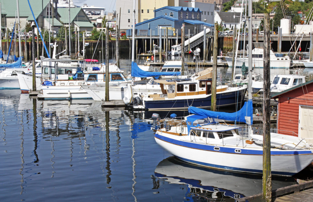
 

The Ketchikan Yacht Club in Thomas Basin Boat Harbor.
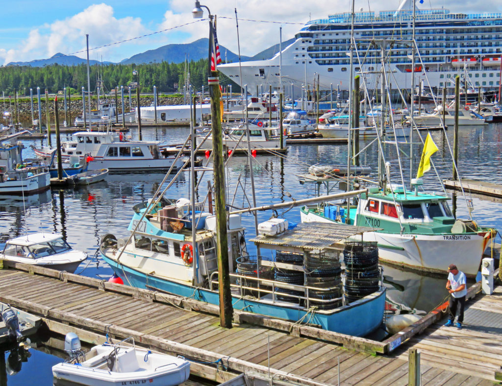
 

A view of a cruise ship in the distance.
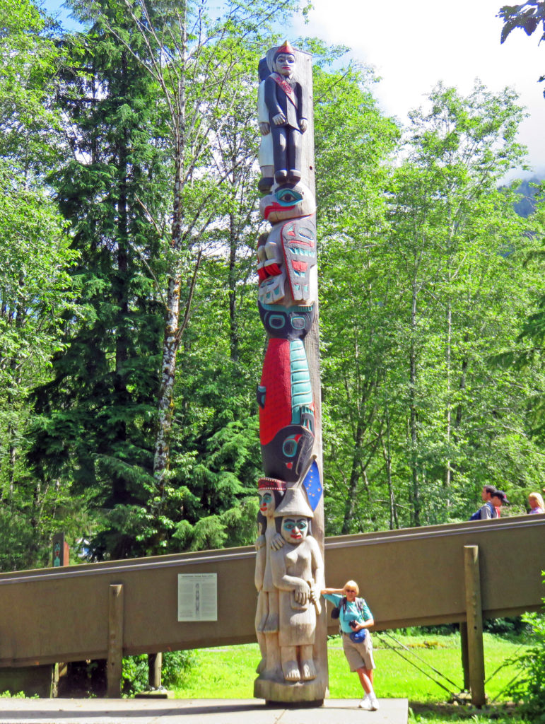
 

Kathy dwarfed by a totem pole outside the Totem Heritage Center.
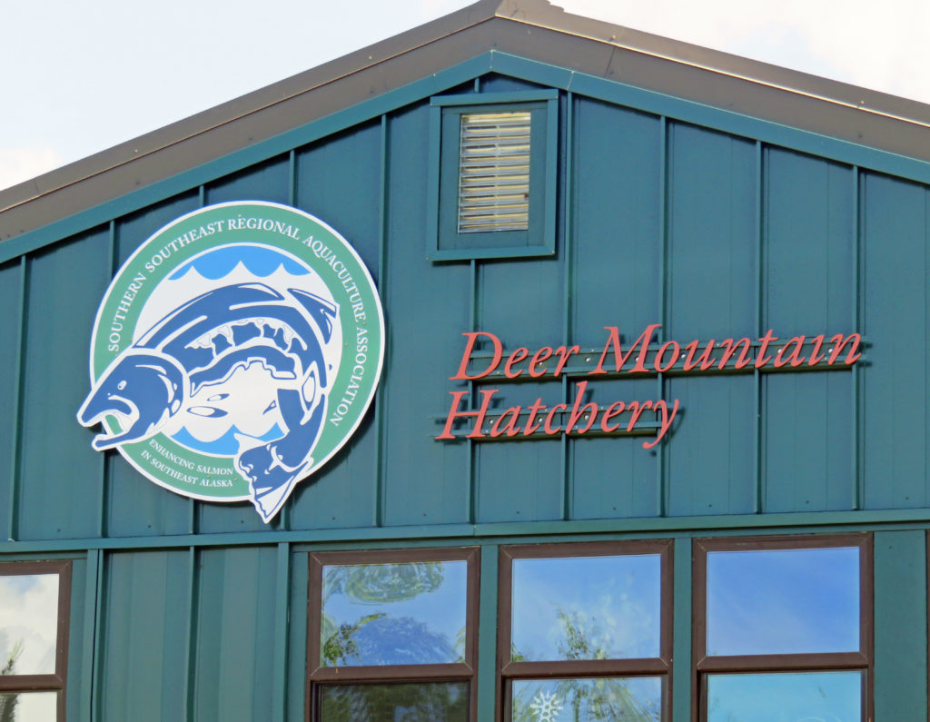
 

Deer Mountain is one of the oldest hatcheries in Alaska.
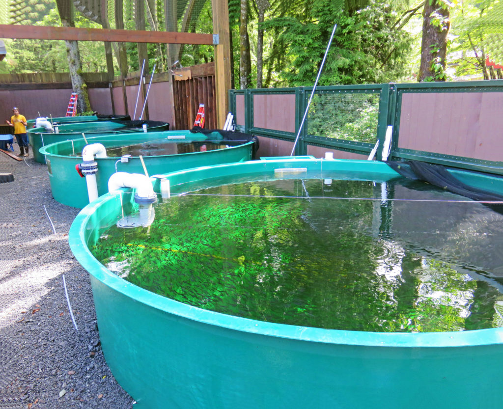
 

Hatchery basins full of juvenile salmon.
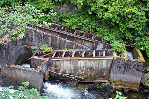
 

A concrete fish ladder on Ketchikan Creek.
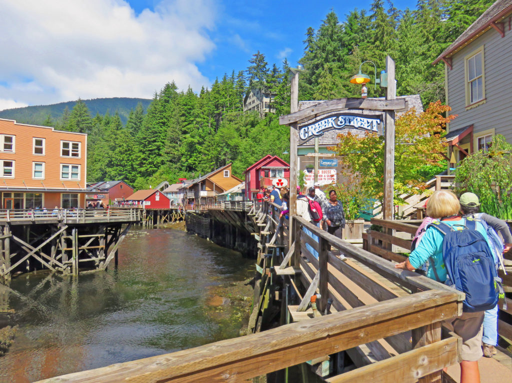
 

Historic Creek Street is one of Ketchikan’s best tourist attractions.
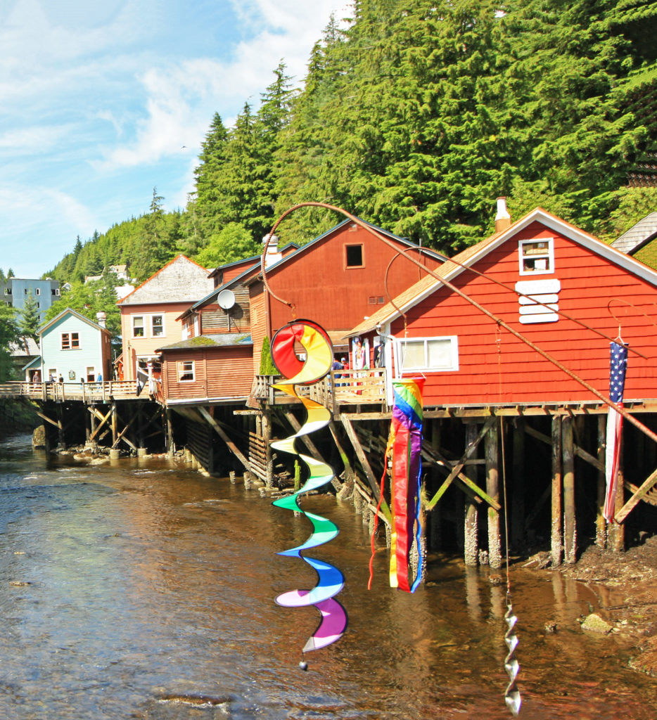
 

Historic buildings filled with picturesque shops line Ketchikan Creek.
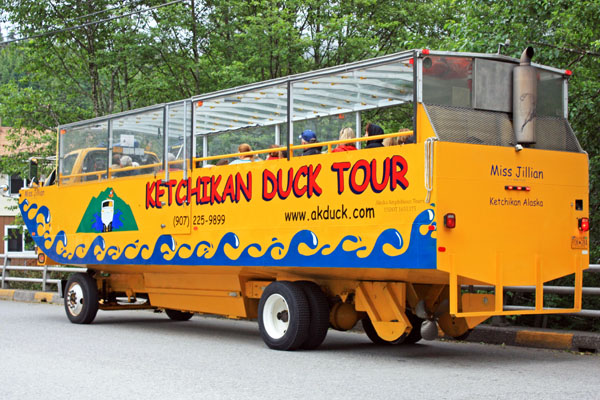
 

Tour Ketchikan by land and sea in this amphibious vehicle.
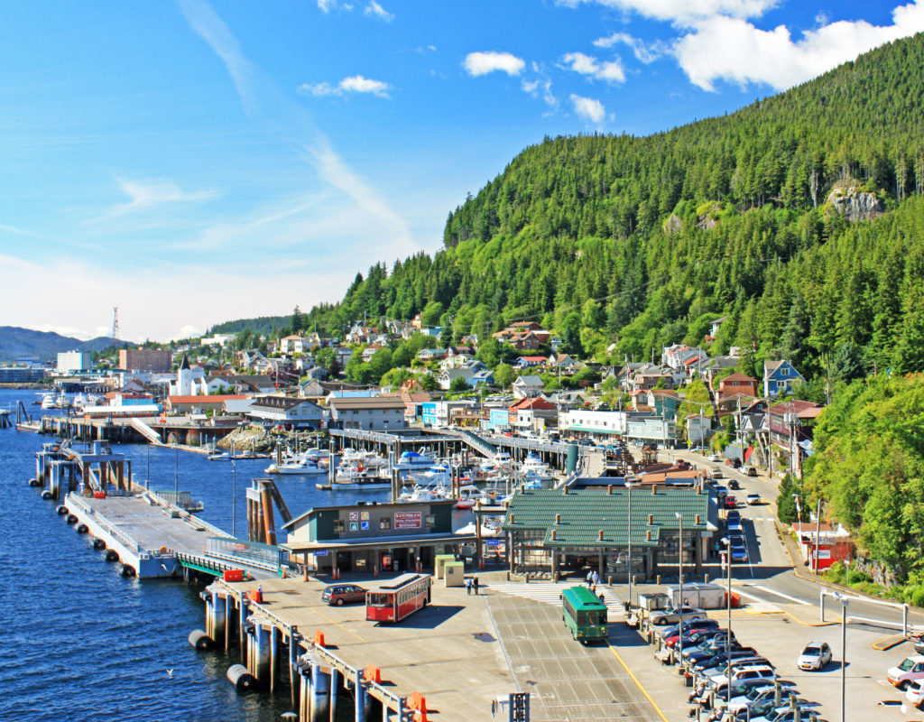
 

Looking down on Ketchikan’s Casey Moran Harbor.
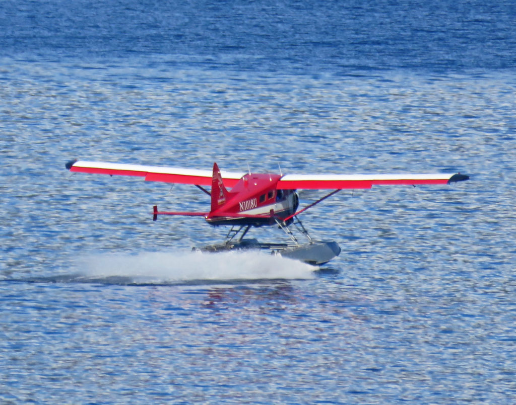
 

A seaplane landing in the harbor.
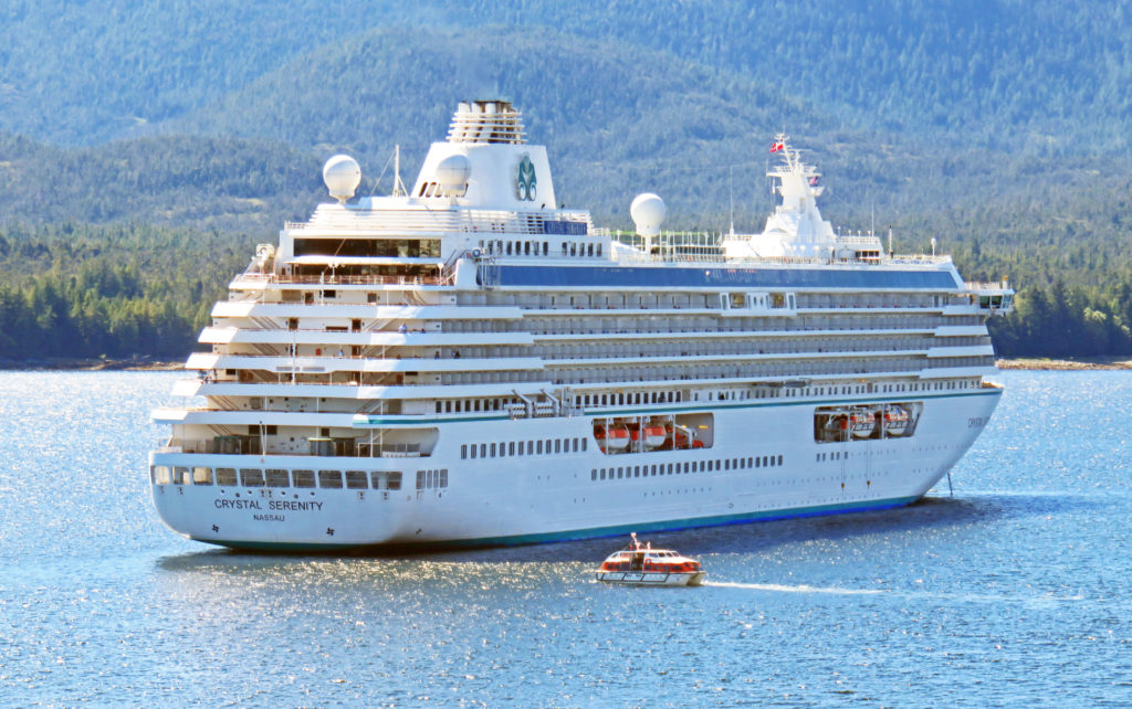
 

A cruise ship anchored in the harbor shuttles passengers to and from shore.
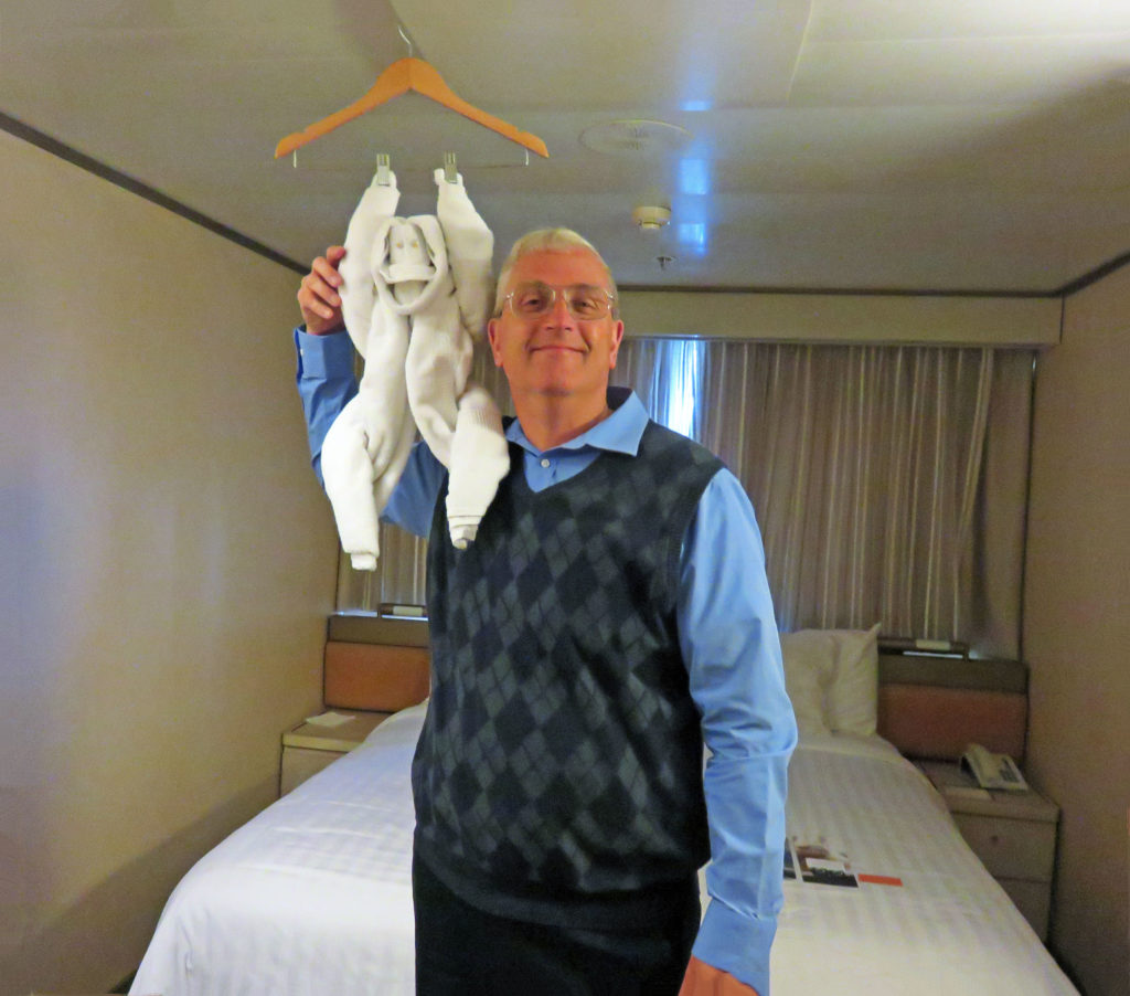
 

Two monkeys! Rodge poses with our towel animal of the day.
Be the first to comment

Magnificent Glacier Bay!

Posted December 8, 2017 By admin


The stunning John Hopkins Glacier.


July 30, 2017 

Today was a very special day on the Volendam. We were going to explore Glacier Bay. This was our second time here in four years and I was excited. The park was named a national monument by President Calvin Coolidge in 1925. In 1980, Jimmy Carter increased its acreage and elevated its status to Glacier Bay National Park and Preserve. The park encompasses 3.3 million acres and Glacier Bay lies in the middle of the huge preserve. Its many inlets and fjords contain sixteen active tidewater glaciers fueled by enough snow to flow out of the mountains and down to the sea.

Rodge and I awoke at 6 a.m. so that we could get dressed and eat in time to take in the full day. At 7 a.m. we entered Glacier Bay and picked up two park rangers at Bartlett Cove (Park Headquarters). They spent the day as our guides and provided informative commentary as we cruised throughout Glacier Bay.
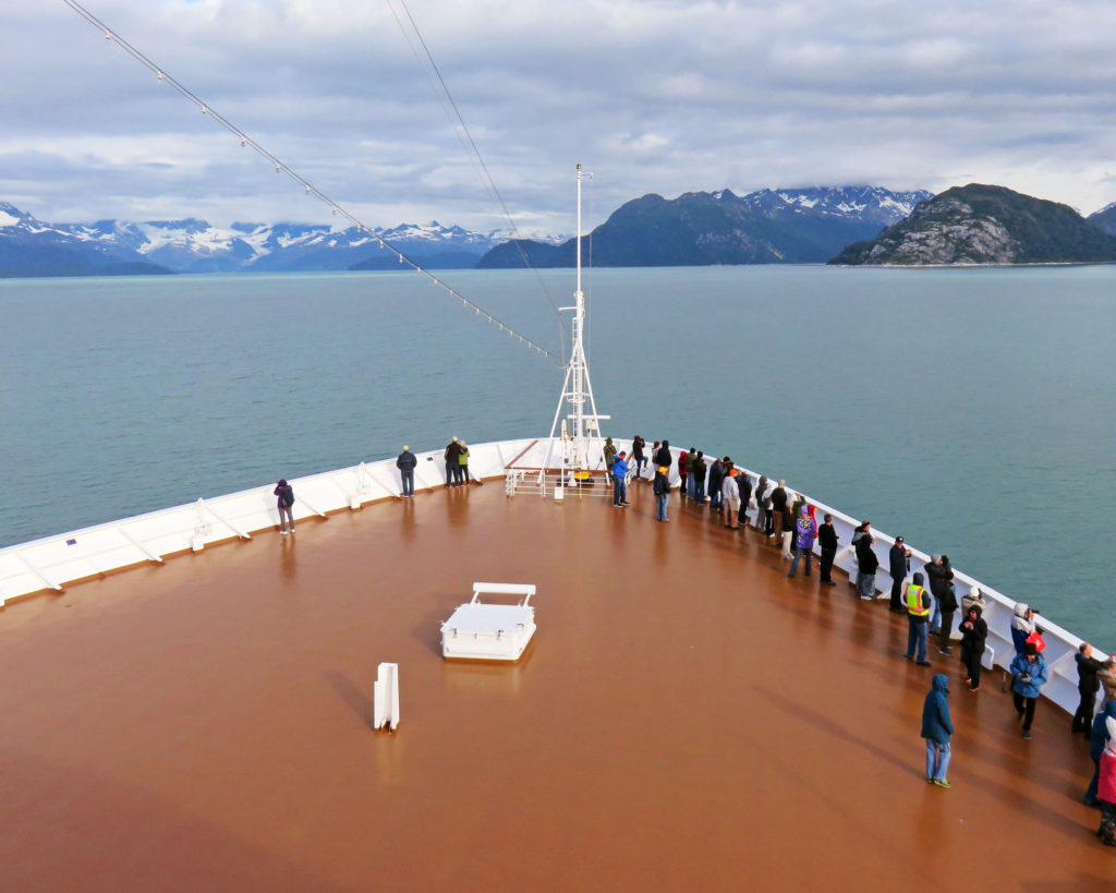
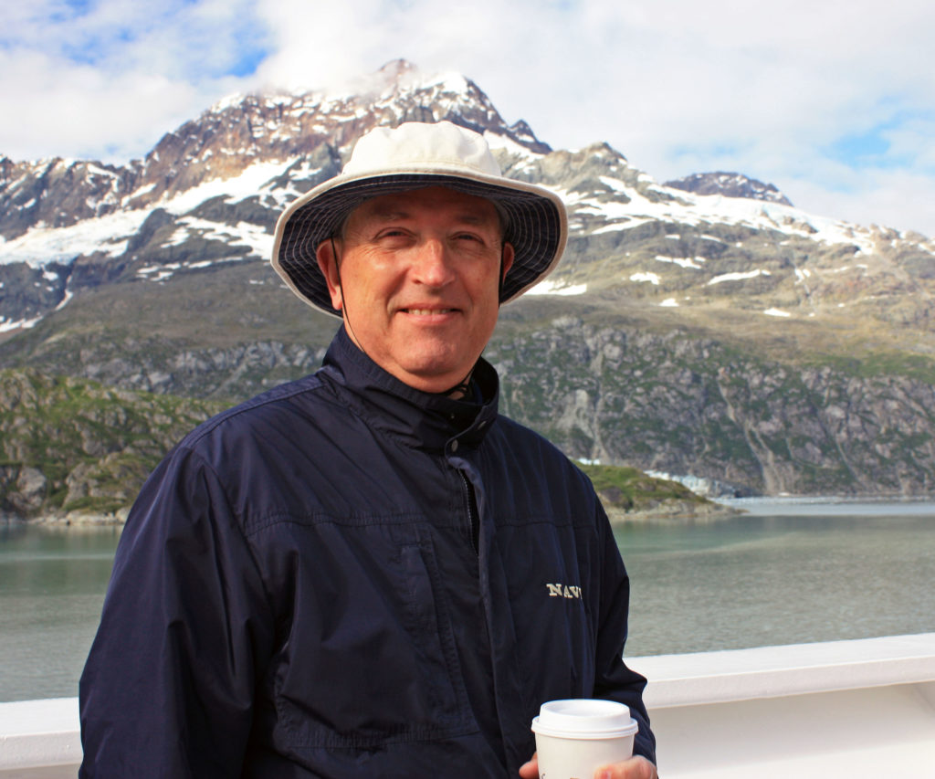
The captain opened up two levels of the bow of the ship so we could have a sweeping view of the bay. It was cold and breezy there so we were all bundled up in our parkas and hats. Along with a warming sun, there was a coffee and hot chocolate station set up on deck to help take the chill off.
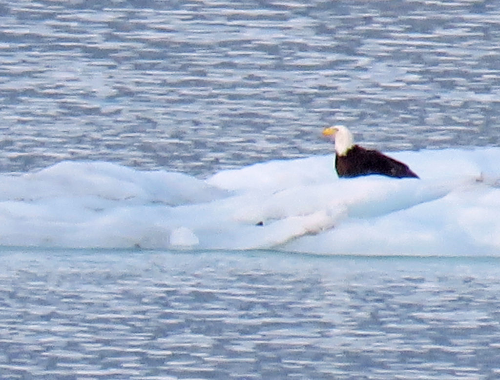
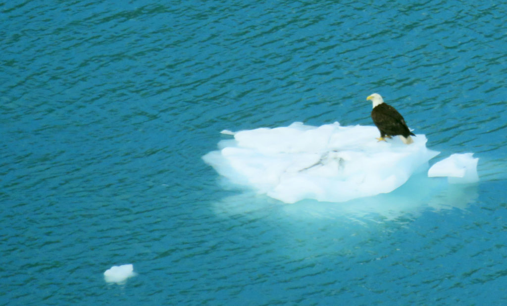
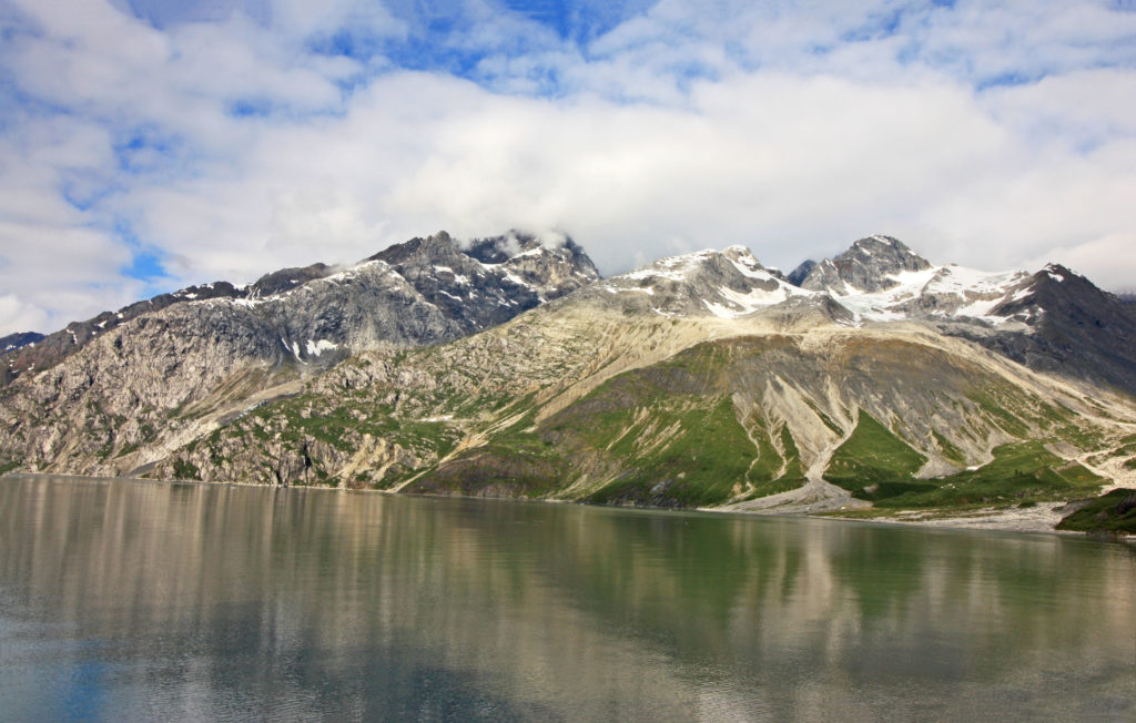
As we glided through the green-blue waters of Glacier Bay, the reflection of the ice-capped mountains in the still water lent an air of solitude and tranquility to our visit. We saw wildlife all around us. Humpback whales waved to us with their tails as they dove in and out of the water. Dall sheep grazed on the top of mountain ridges. High-soaring bald eagles glided through the air scanning for prey. At one point, I saw a bald eagle float by on an iceberg.

As we slowly made our way fifty-five miles north to the tidewater glacier faces, Park Service Rangers in the ship’s bridge provided audio narration of what we were seeing. They pointed out features of interest and a wide variety of wildlife (bald eagles, otters, whales, Dall sheep etc.). The glaciers we cruised by are called tidewater glaciers because they end in the water and break off into icebergs.

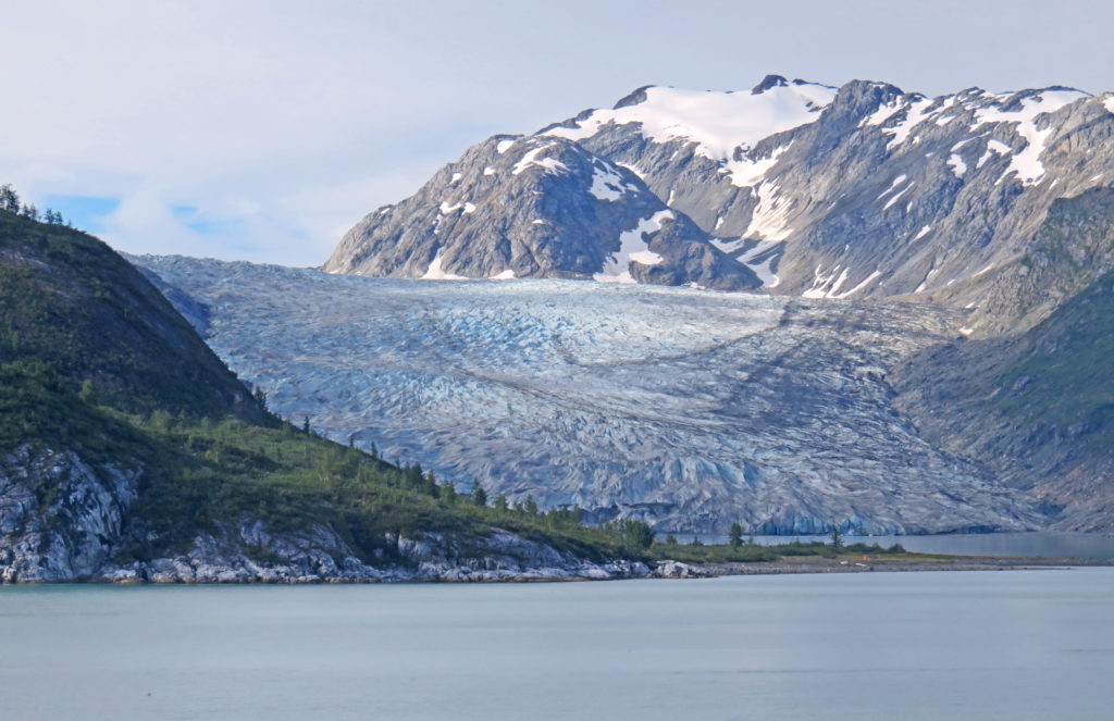
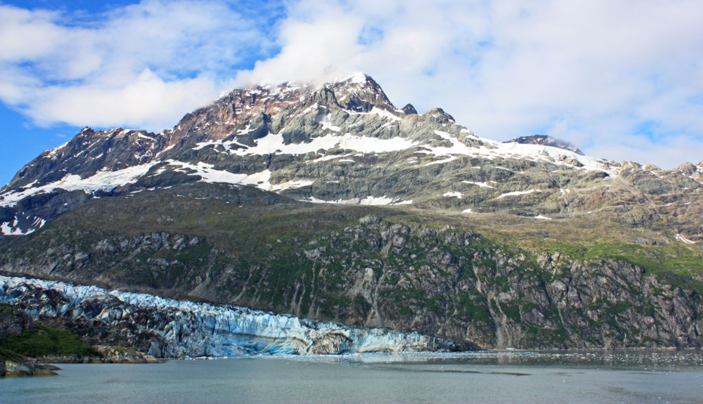
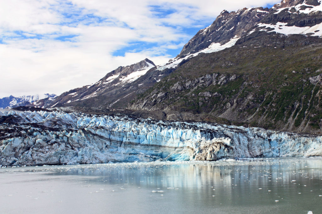
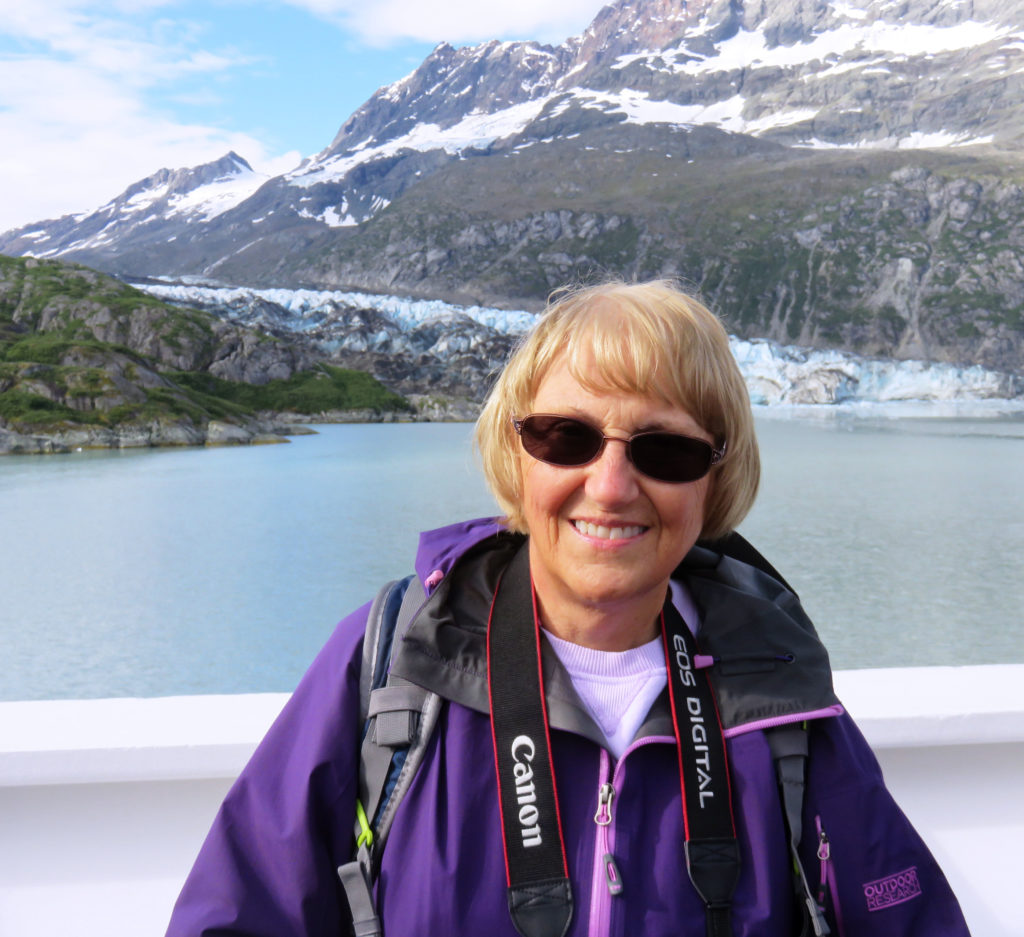
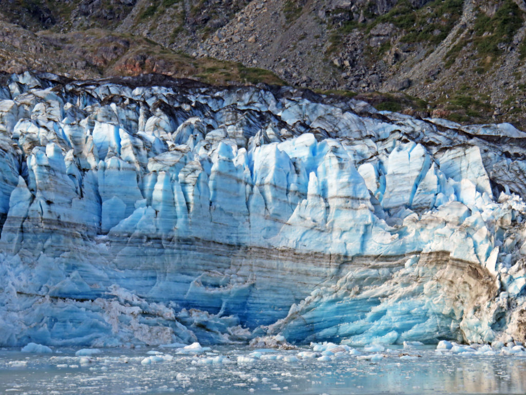
At mile 40, we arrived at Reid Glacier. The 9.5-mile-long, .75-mile-wide glacier was named by members of the 1899 Harriman Alaskan Expedition for Harry Fielding Reid. Reid Glacier is one of the few glaciers that can be accessed from shore. A mile later, we entered stunning John Hopkins Inlet, a nine-mile path bounded by steep, ice-carved walls that reach more than 6,000 feet skyward on either side. At the mouth of the inlet is the Lamplugh Glacier, one of the bluest glaciers in the park. It is 16 miles long and .75 miles wide. It is known for its huge subglacial river and cave that appears each summer.

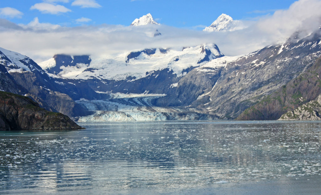
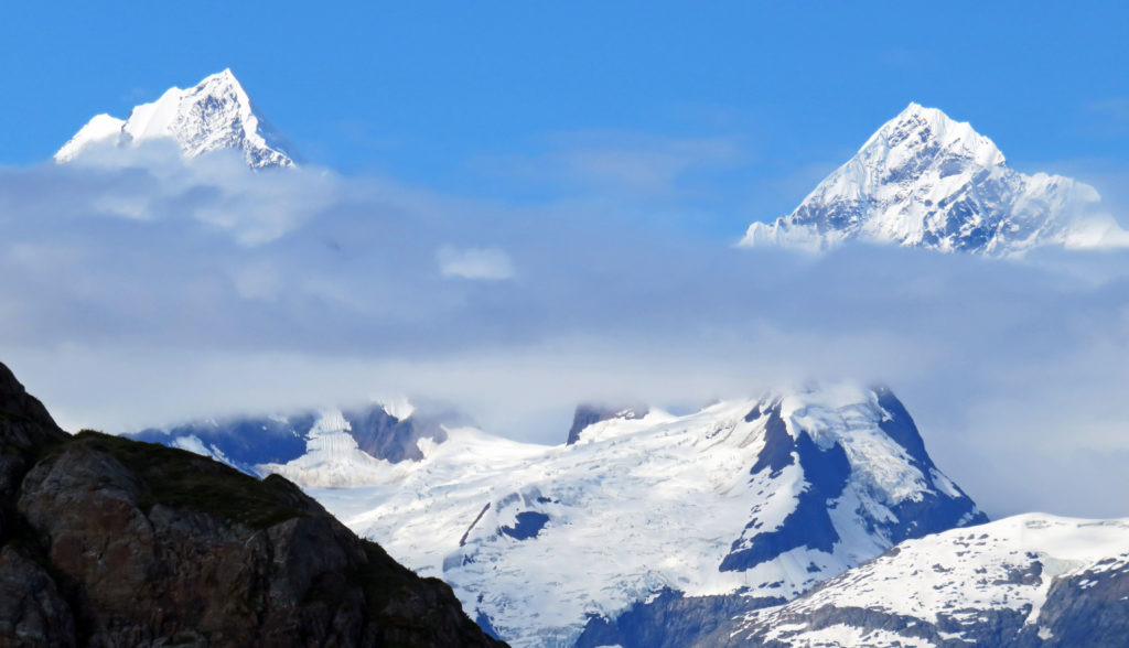
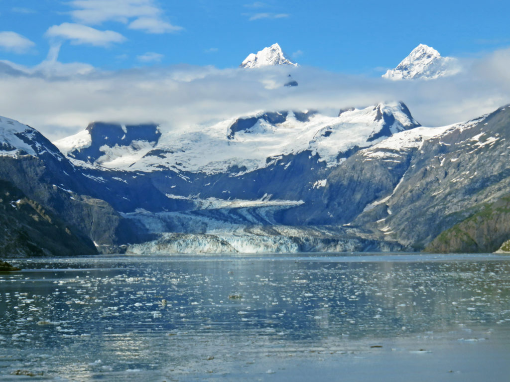
But the crown jewel of the inlet lies at the very end, the John Hopkins Glacier. The glacier was named after John Hopkins University in Baltimore, Maryland by Harry Fielding Reid in 1893. It is one of the few advancing tidewater glaciers of the Fairweather Range. The glacier is more than a mile wide and twelve miles long. Its jagged face rises 250 feet from the water. As I looked at the stunning glacier I could see two peaks from the Fairweather range rising above it. The peaks are named Mount Wilbur and Mount Orville, after the Wright brothers.

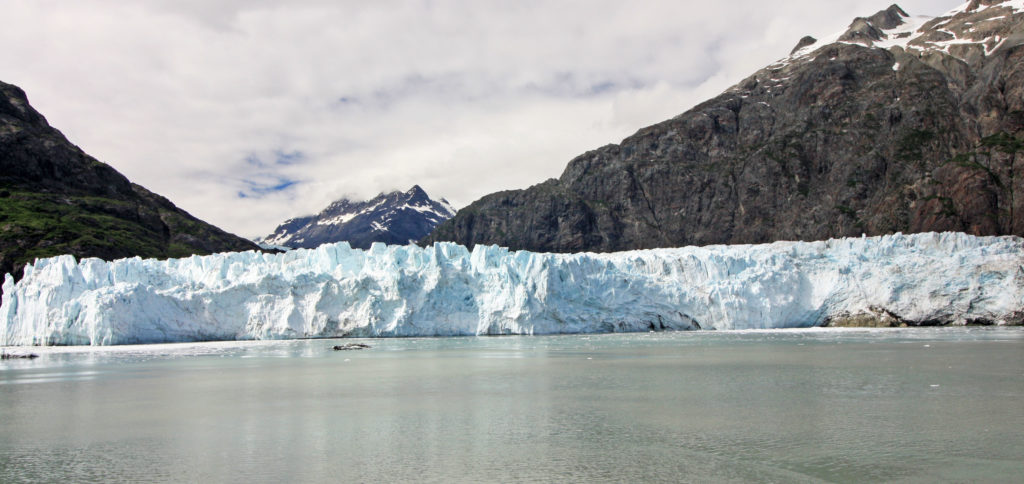
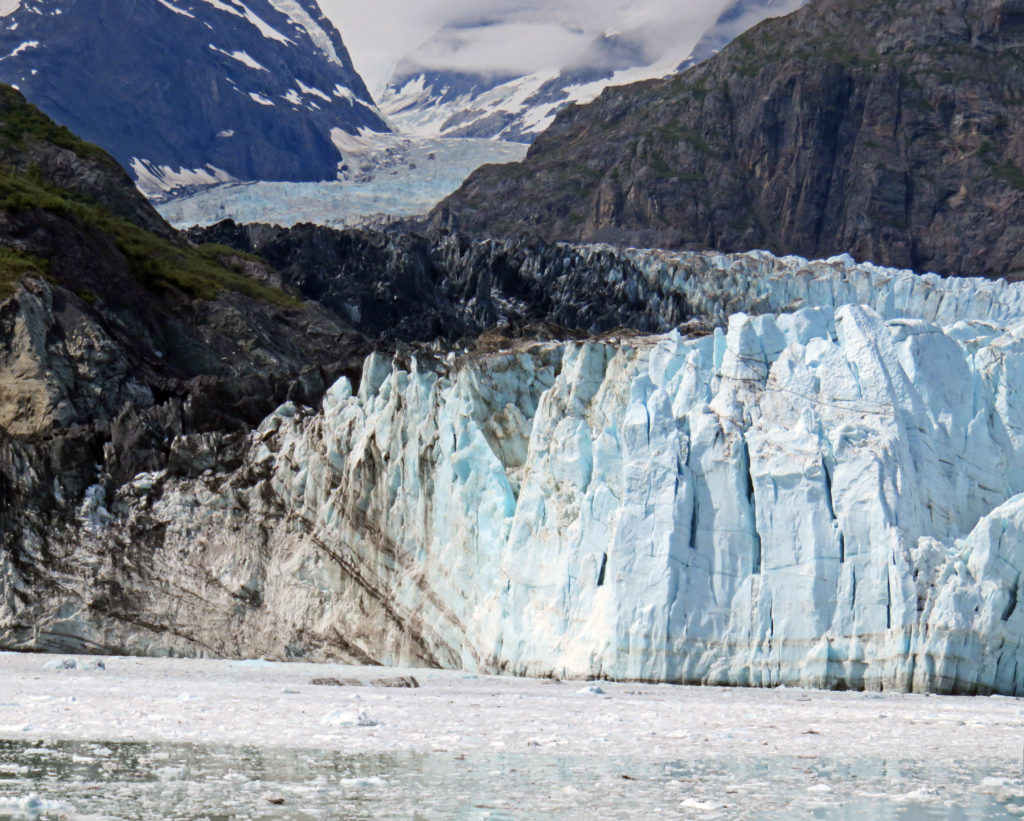
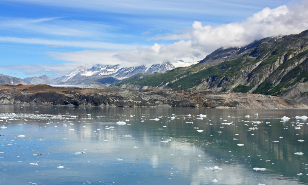
We left John Hopkins inlet and continued north into Tarr Inlet. It was 11 a.m. and the stewards started serving us Dutch Pea Soup on the foredeck. It was just the thing to warm us up a bit without having to go inside. Soon, we arrived at Margerie Glacier, named for the French geographer and geologist Emmanuel de Margerie who visited Glacier Bay in 1913. Inside the inlet, calm, blue-green waters were dotted with chunks of ice. The massive glacier towered 250 feet above us. The mile-wide ice flow stretched twenty-one miles from the south slope of Mount Root on the Alaska-Canada border to Tarr Inlet.

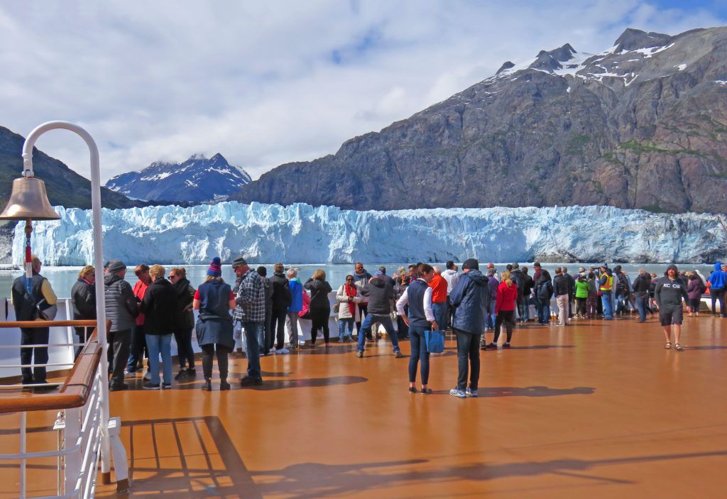
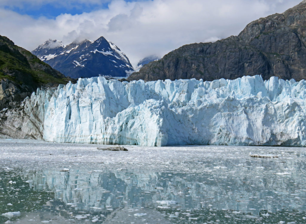
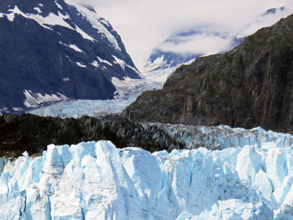
Our ship slowed and coasted within a quarter-mile of the massive ice face. Passengers lined the bow with binoculars and cameras to capture a view of the towering ice queen. Margerie Glacier with the Fairweather Mountains lurking behind, towered over the water’s surface. The jagged edges left in the top of the glacier from pieces falling away formed intricate shapes and patterns.

The ship spent about a full hour in front of the Margerie Glacier. The captain allowed plenty of time for everyone on board to see the glacier by turning the ship slowly so that all sides faced the glacier for a considerable amount of time. As we crowded the rails, a hush came over the ship. Suddenly, we heard a loud crack, and then a noise that sounded like a thunderclap. The silence was shattered as a chunk of ice crumbled and slowly fell into the water. Margerie Glacier was actively calving or breaking off ice chunks. Compared to glacial ice, seawater is warm and highly erosive. As waves and tides undermines some ice fronts, great blocks of ice up to 200 feet high may calve or break loose and crash into the sea.

Just adjacent to Margerie Glacier is the largest glacier in the park, the Grand Pacific Glacier. Standing 180 feet above the water, it is two miles wide and 34 miles long. At 1 p.m., we left Tarr Inlet and spent the rest of the afternoon cruising south through Glacier Bay. We passed by John Hopkins Inlet again and got another glimpse of the virtual winter wonderland. Hanging glaciers on mountainsides glistened in the afternoon sun. Sparkling icebergs floated by in calm, icy waters. I hated to leave such a magical place.

As we cruised out of Glacier Bay, I was inspired by its rugged, limitless beauty. I was also humbled and in awe of its snow-covered landscapes and icy sculptures. Only God could have created such a masterpiece.

In awe,
Kathy


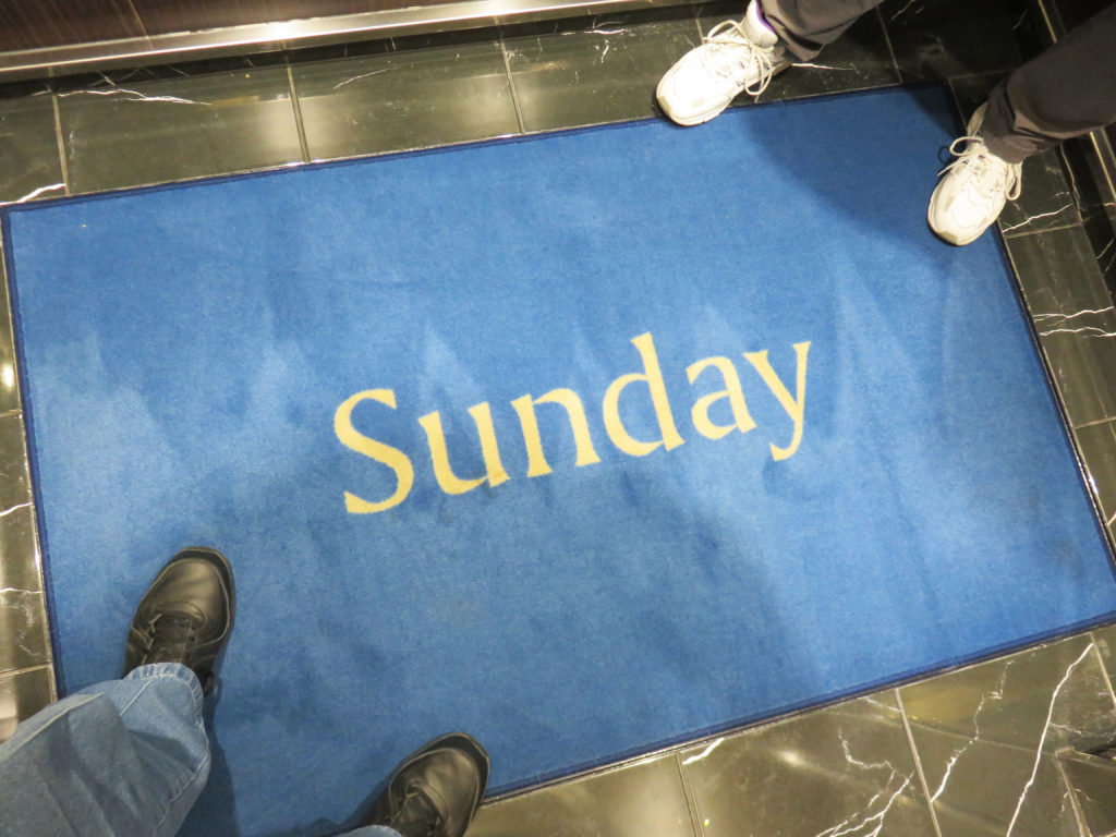
It’s Sunday on the Volendam!


On the bow of the ship all bundled up in our parkas.


Making our way through blustery Glacier Bay National Park.


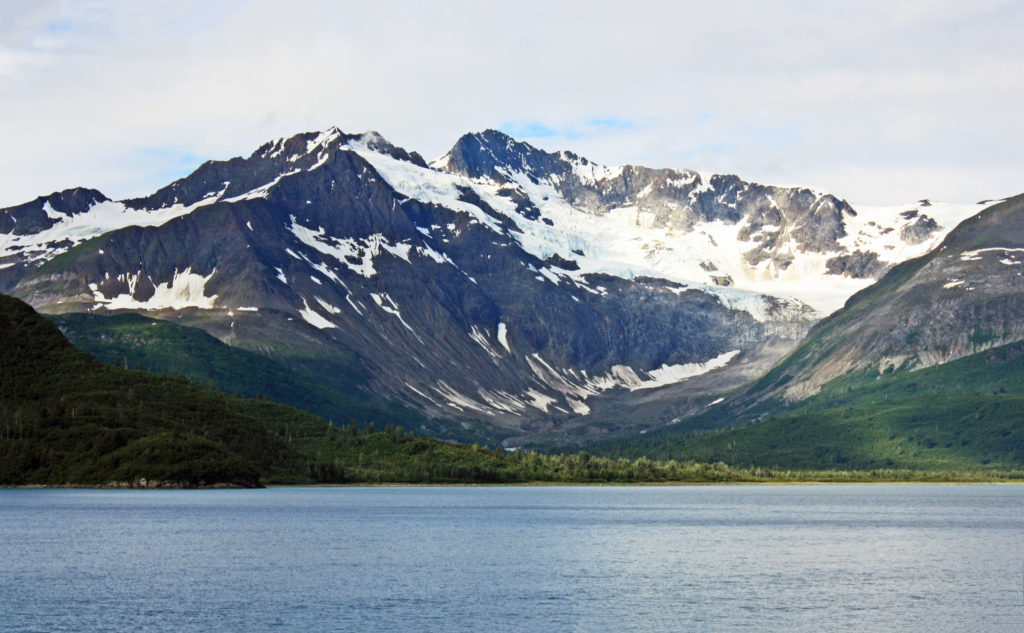
Snow covered mountains line the waters of the bay.


Reid Glacier, a 9.5 mile-long glacier that can be accessed from shore.


Rodge enjoying hot chocolate on the forward deck.


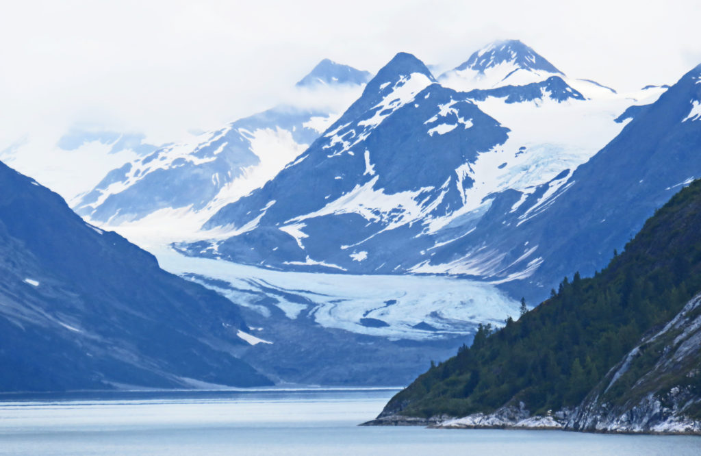
Lamplugh Glacier found at the mouth of the John Hopkins Inlet.


The Lamplugh Glacier is one of the bluest glaciers in the park.


Kathy being photobombed by Lamplugh Glacier.


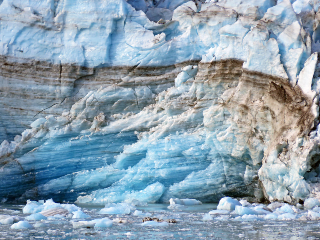
This is an example of the layering effect of a glacier.


Layers of ice and dirt are trapped inside the glacier.


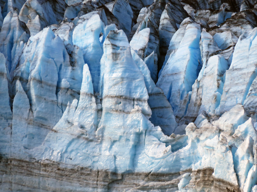
Beautiful ice sculptures formed by years of glacial activity.


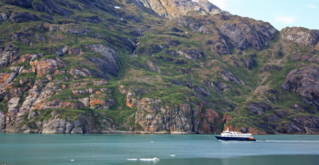
A small cruise ship exploring Glacier Bay.


A bald eagle enjoying a morning cruise.


The crown jewel of the inlet lies at the very end, the John Hopkins Glacier.


Two peaks rising above the glacier named Mounts Orville and Wilber.


A bald eagle hitching a ride on a an iceberg.


Margerie Glacier from a distance.


Passengers lined the bow with cameras to capture a view of Margerie glacier.


The jagged edges were left in the top of the glacier from pieces falling away.


Margerie Glacier with the Fairweather Mountains lurking behind.


The mile-wide ice flow stretched 21 miles and towered 250 feet above us.


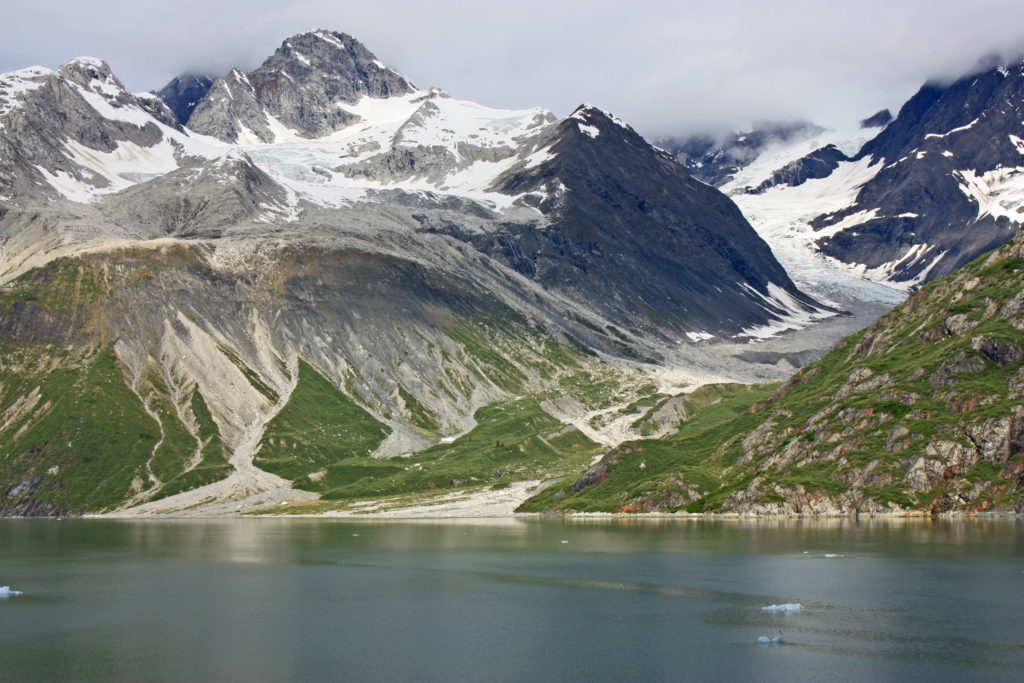
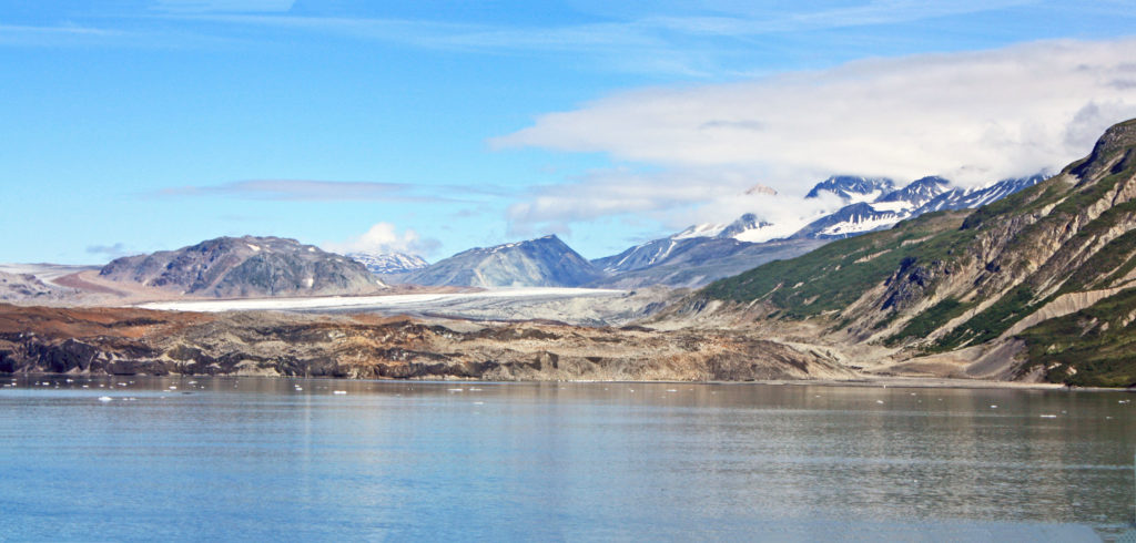
A retreating glacier.


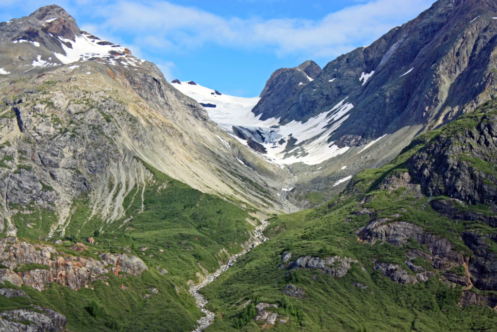
Another retreating glacier gives way to green grasses.


Another magnificent view of Glacier Bay.


The Grand Pacific Glacier is the largest glacier in the park.


Standing 180 feet above the water it is two miles wide and thirty-four miles long.


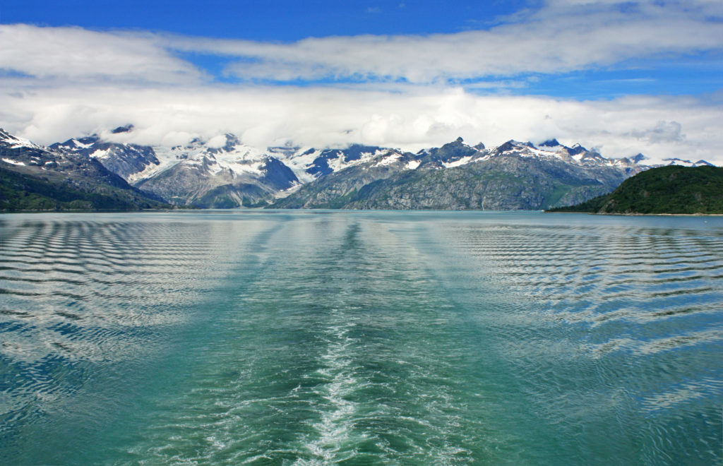
Leaving Glacier Bay National Park.


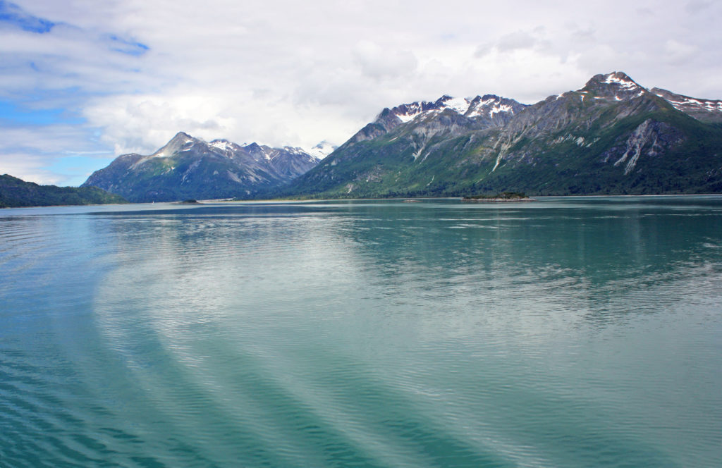
Gentile waves move across the blue-green water.


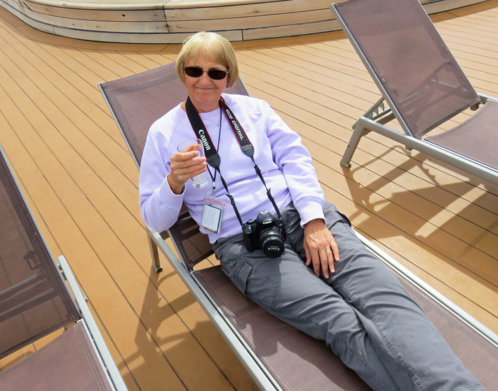
Kathy relaxing on the deck after a marvelous day in Glacier Bay.


Be the first to comment

We Set Sail on the MS Volendam!

Posted December 5, 2017 By admin


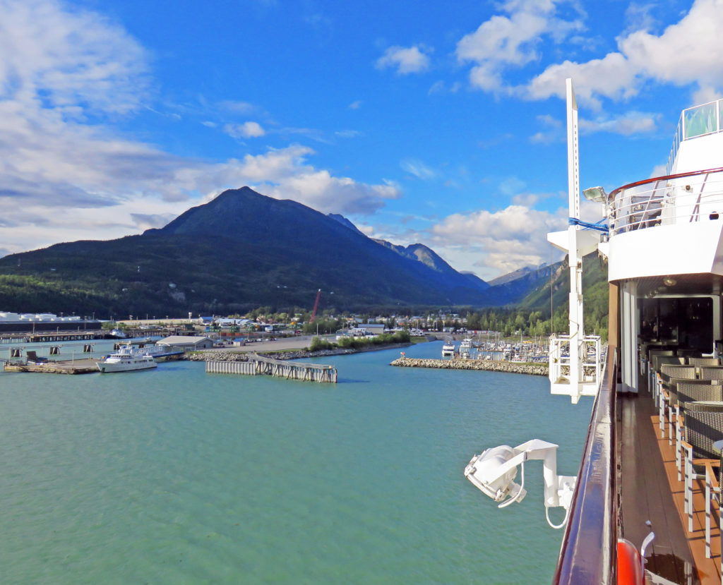
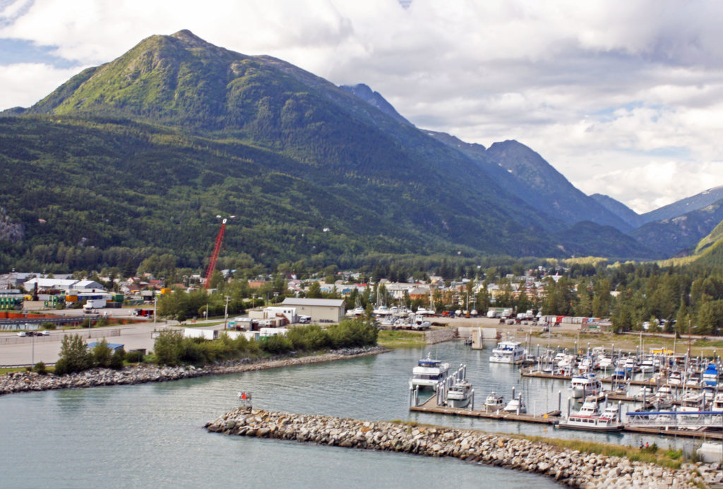
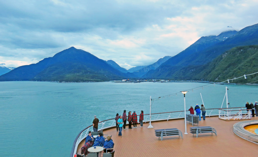
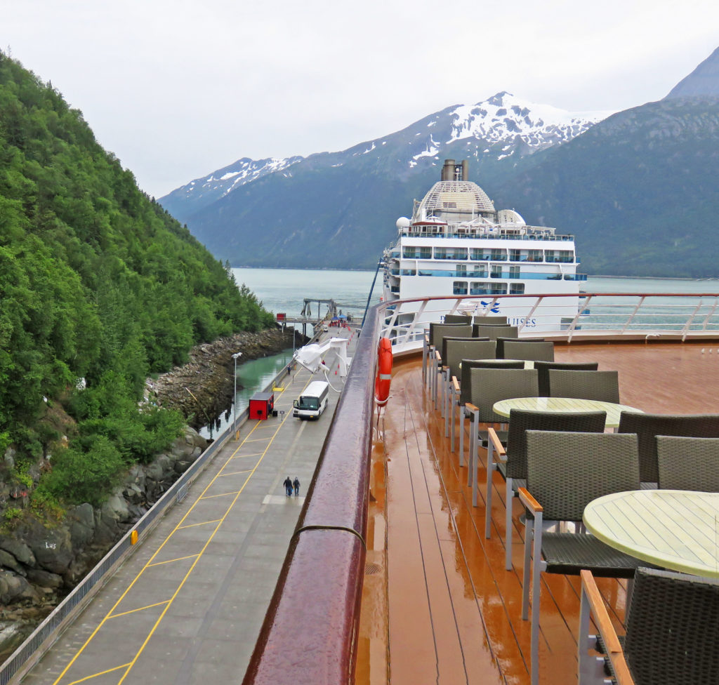
A view of Skagway harbor from the cruise ship Volendam.


January 29, 2017

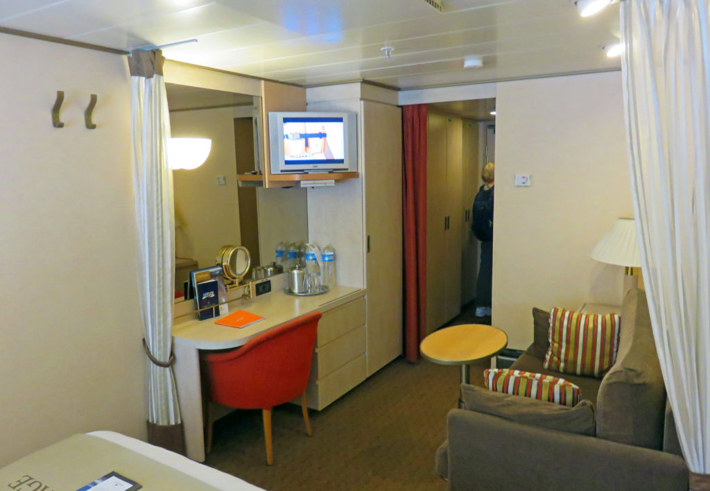
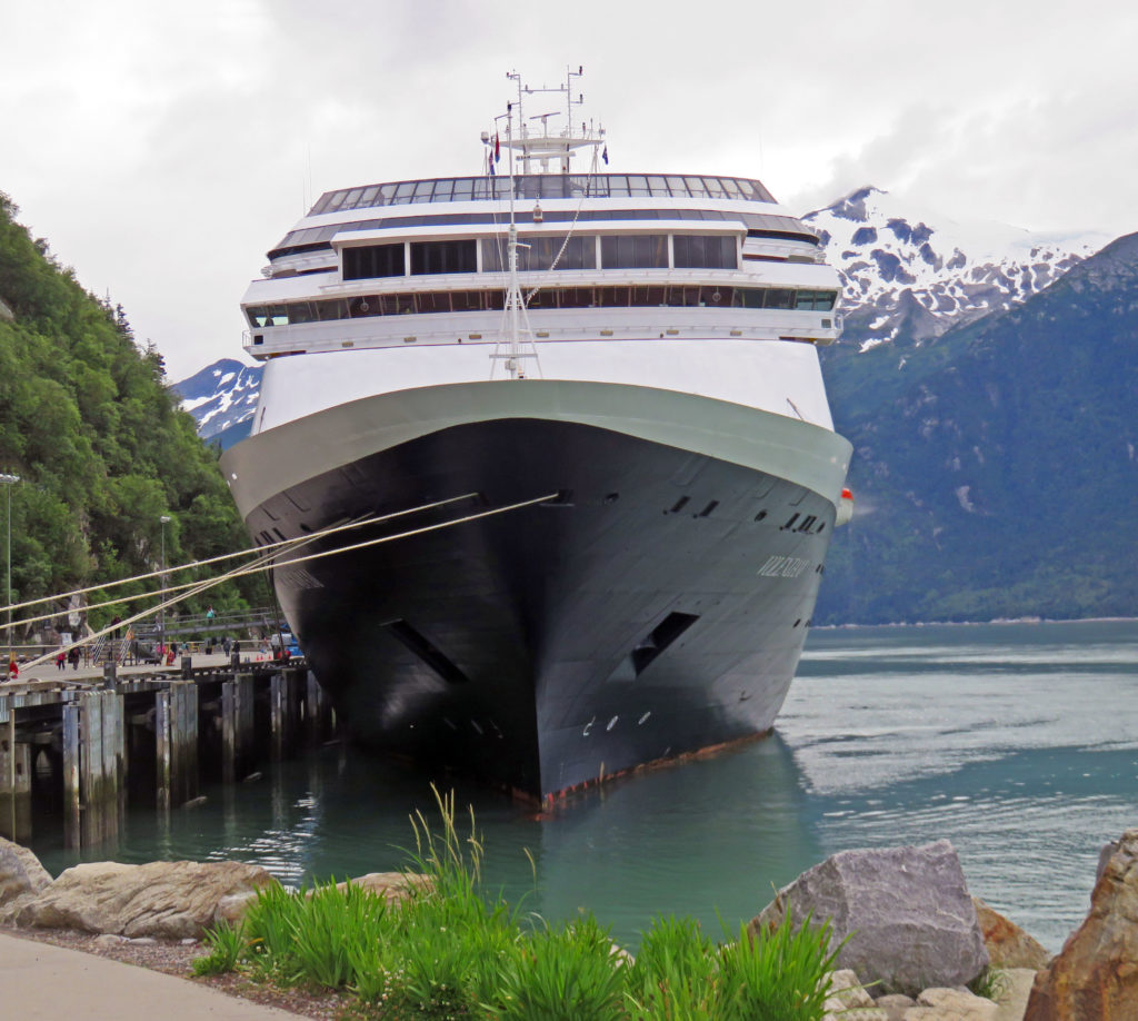
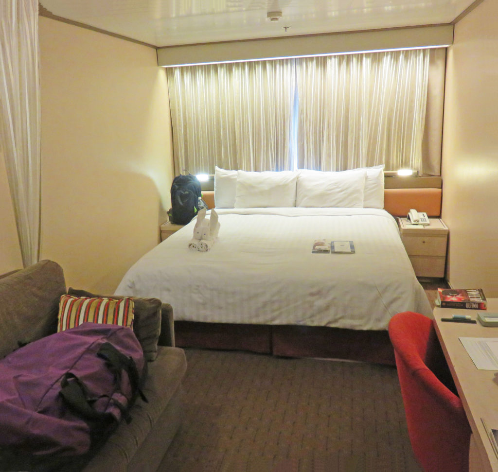
After riding buses, trains and flying in planes over the last ten days it was time to start the sea portion of our trip. We departed our hotel at 10:30 a.m. and were shuttled to the harbor where we embarked on the Holland America cruise ship MS Volendam. Our stateroom was on the second deck—the same deck as the gangway entrance which made it convenient when arriving and departing the ship. Our baggage was staged inside the room so we immediately settled in.

Next, we were off to the Lido Deck for our first meal on board. Let the food frenzy begin. After lunch, some exploring about the decks, and a bit of time reading through the shipboard literature in our stateroom, we donned our trusty backpacks again. It was time to go back ashore and do some final exploring in Skagway. We walked up and down the main street poking in the various stores and making minor purchases (remembering that our luggage was pretty full). We stopped and got some ice cream, then spent some time enjoying it and the view from the roadside bench outside the store. The mini-shopping spree ended in plenty of time to reboard the ship before the underway deadline.

When we arrived back on board the ship it was 5 p.m. and time to eat again. We arrived at the Lido Restaurant for a dinner buffet. At 7 p.m. we joined several people from our land journey at a cocktail party hosted by the captain for newly embarked passengers from Skagway. Later we attended an “Alaska in Concert” event in the ship’s theater. It consisted of silent video clips of Alaska and its wildlife accompanied by live music played by seven musicians on stage. Some of the video clips depicted amazing wildlife activity that we had never seen before. The overall effect was marvelous. Sometime during the show, the ship got underway for Glacier Bay National Park. At 9 p.m., after the concert, we spent time on the top deck enjoying spectacular views as the sun set. When we arrived in our room, we were greeted by a bunny towel animal made by our steward.

Fair winds,
Kathy


It is Saturday on the Volendam.


Our stateroom for the next four days.


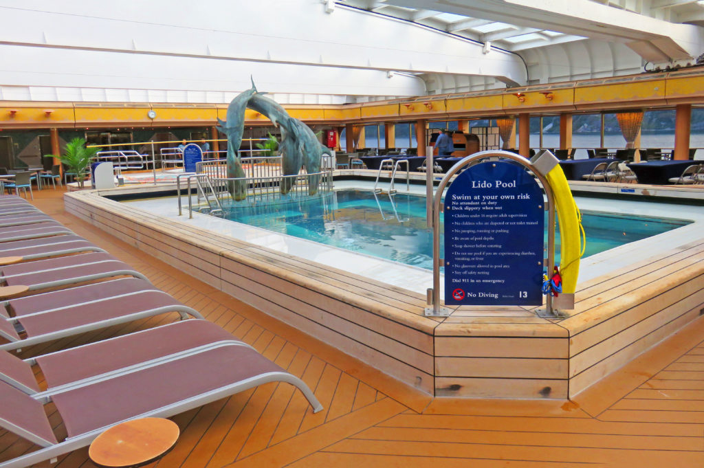
The Lido Pool ready for some action.


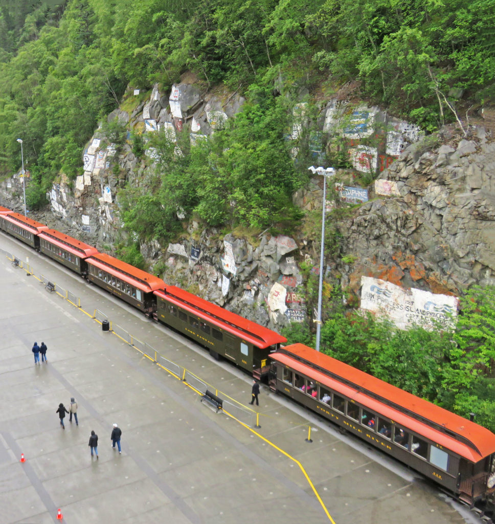
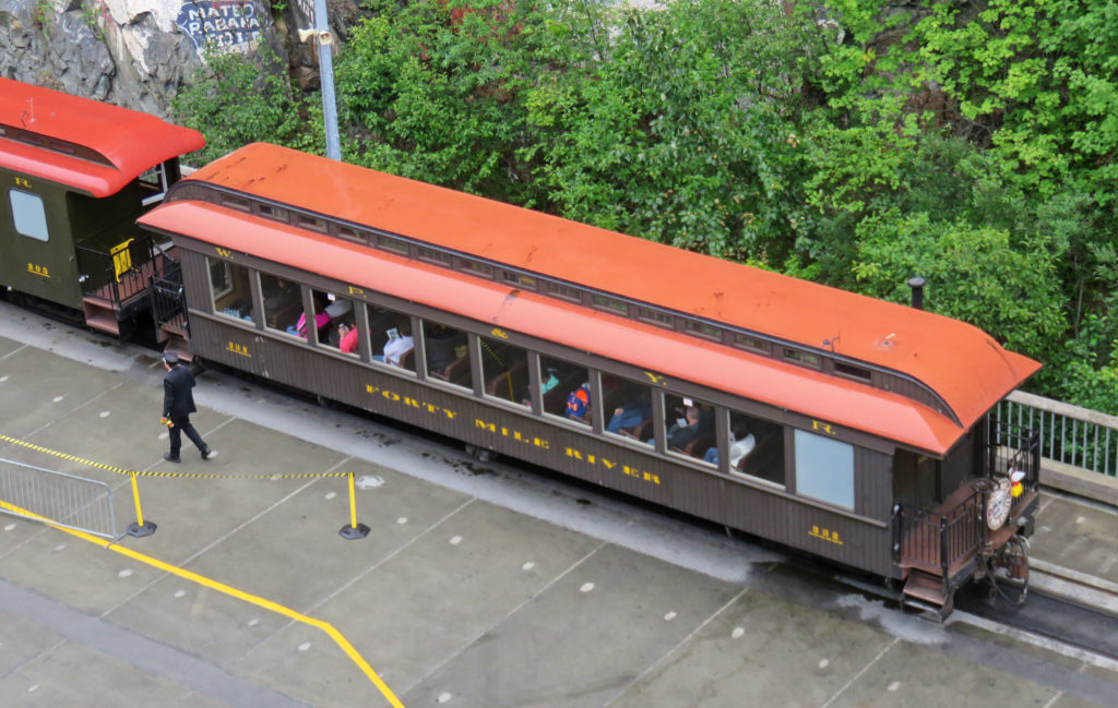
Atop the Volendam looking down on the White Pass and Yukon Route Railroad.


A close up of a WP&YR railroad car.


Another cruise ship lurking behind the Volendam.


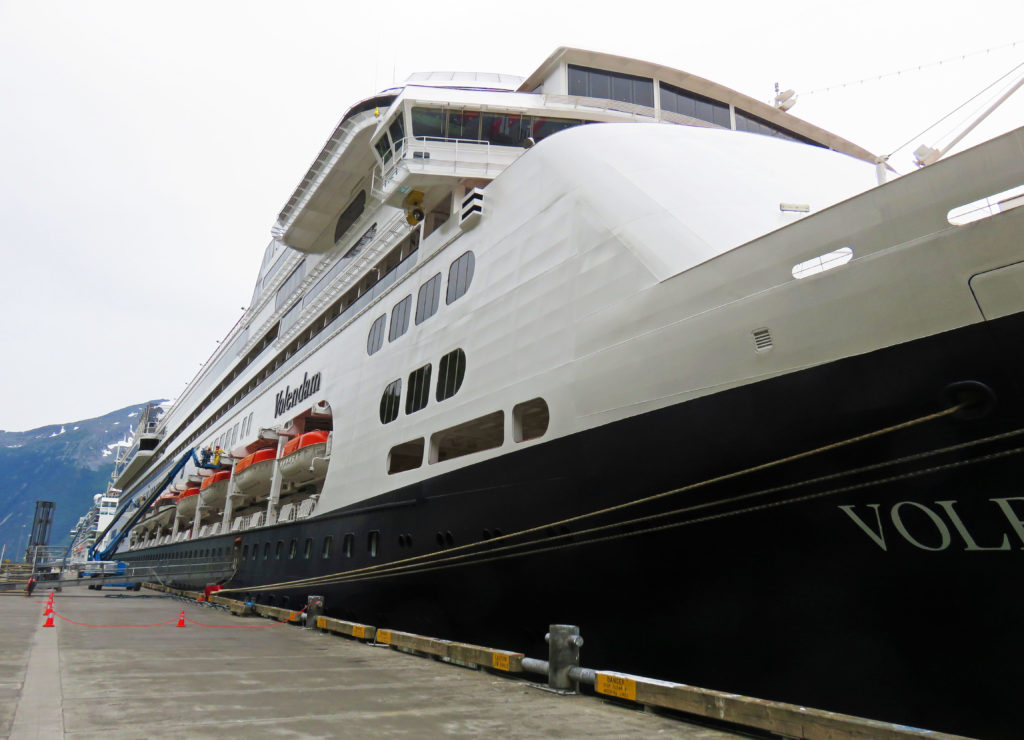
Another “dam” ship.


It’s longer than it looks!


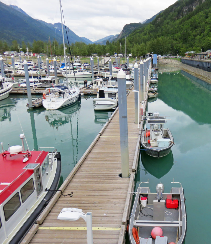
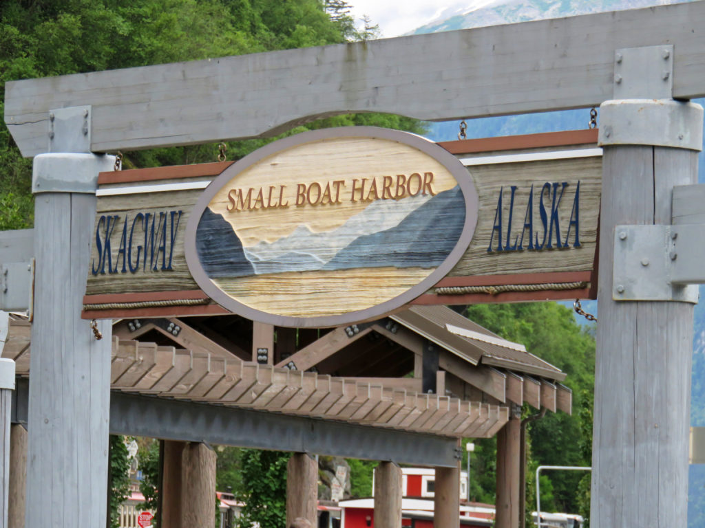
Skagway’s small boat harbor.


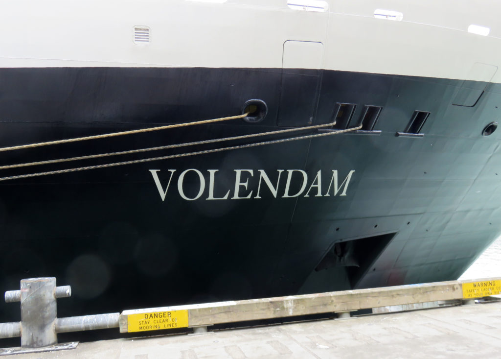
The Volendam lassoed to the sea wall!


A ferry returning from Haines, Alaska.


A view of Skagway harbor.


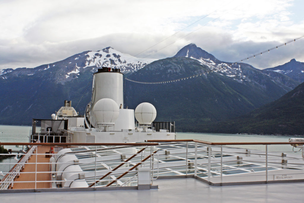
On Volendam’s top deck.


Saying goodbye to Skagway, Alaska.


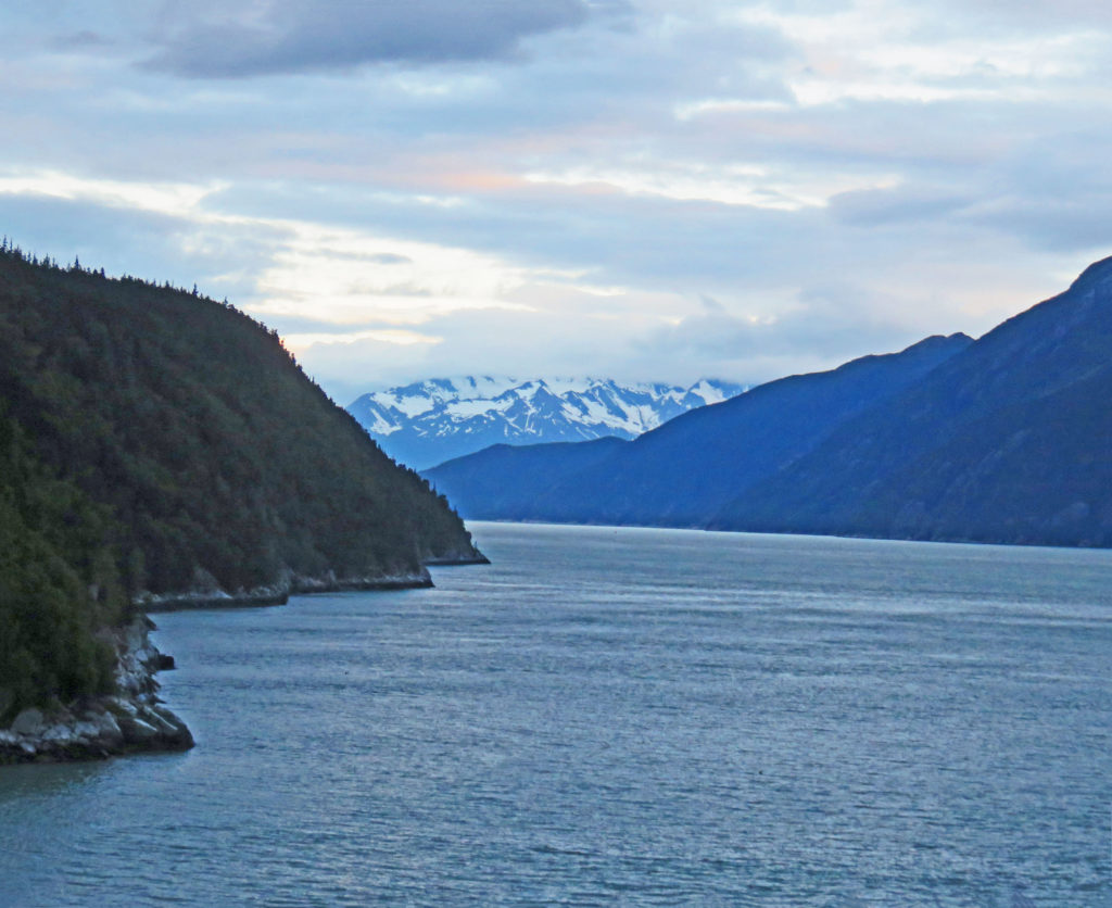
Heading to Glacier Bay National Park.


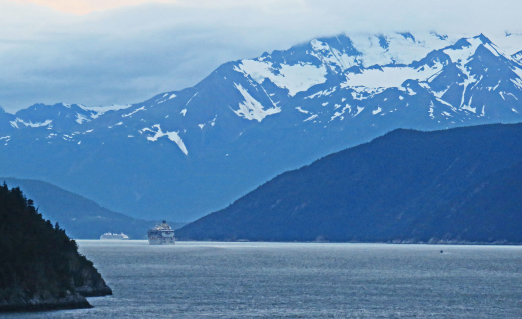
We follow another cruise ship in the Lynn Canal.


The sleeping area in our stateroom.


A cute bunny towel animal made by our steward.


Be the first to comment

Wilderness River Adventure in Haines, Alaska!

Posted December 1, 2017 By admin


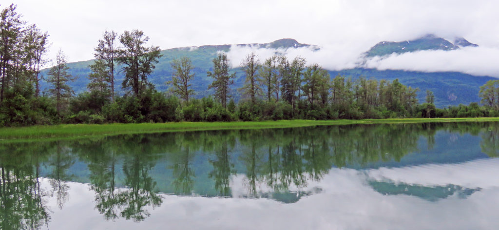
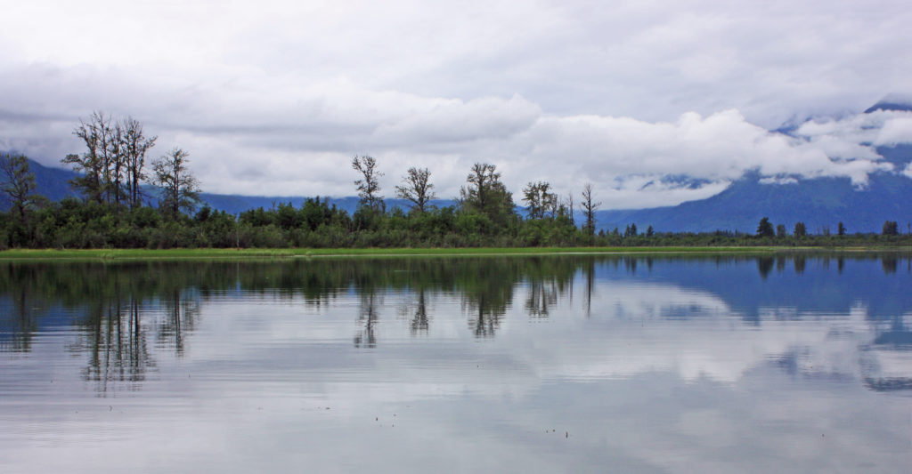
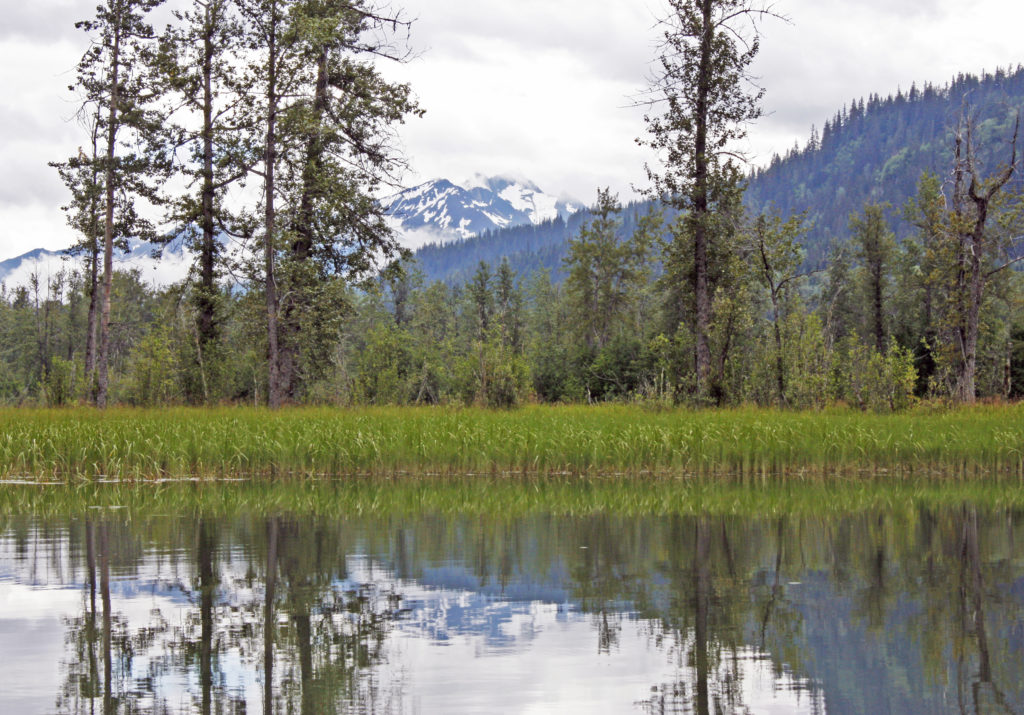
Reflections are mirrored on the “smooth as glass” Chilkat River.


July 28, 2017

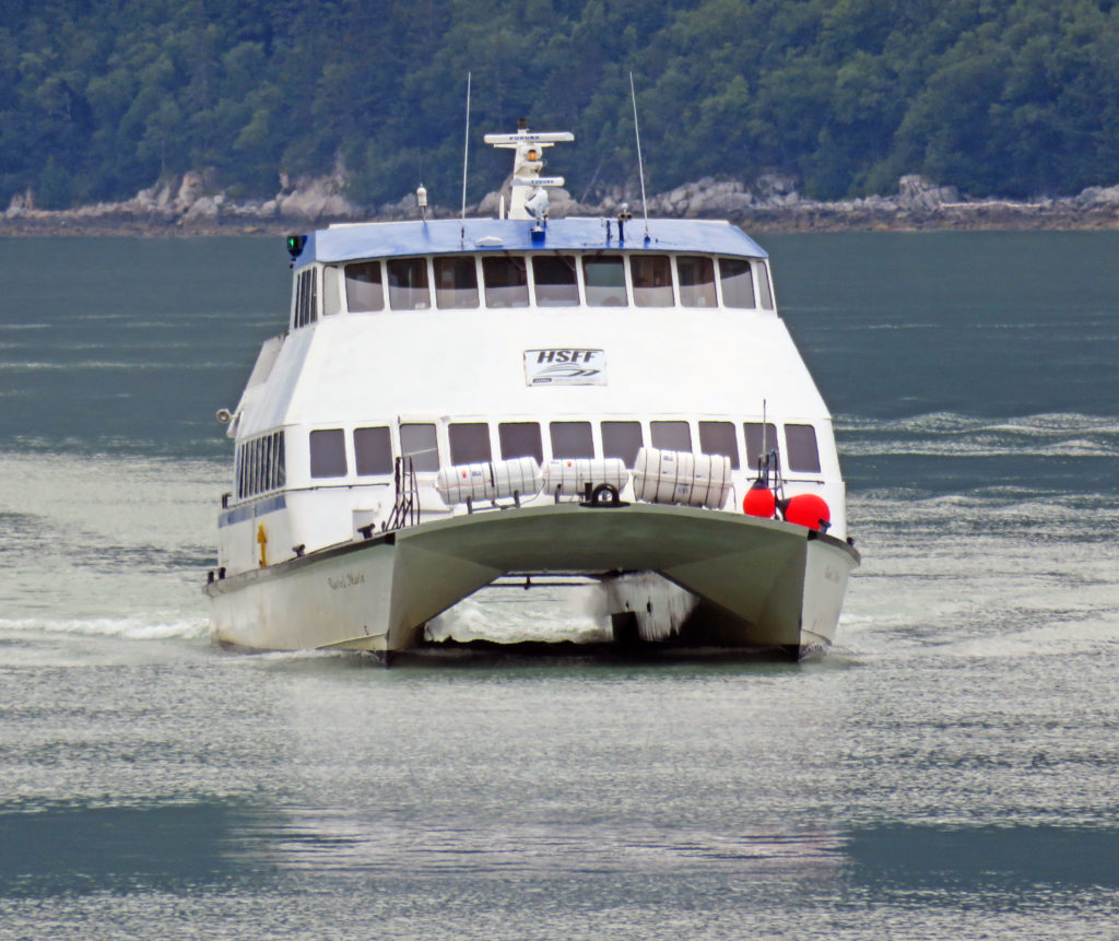
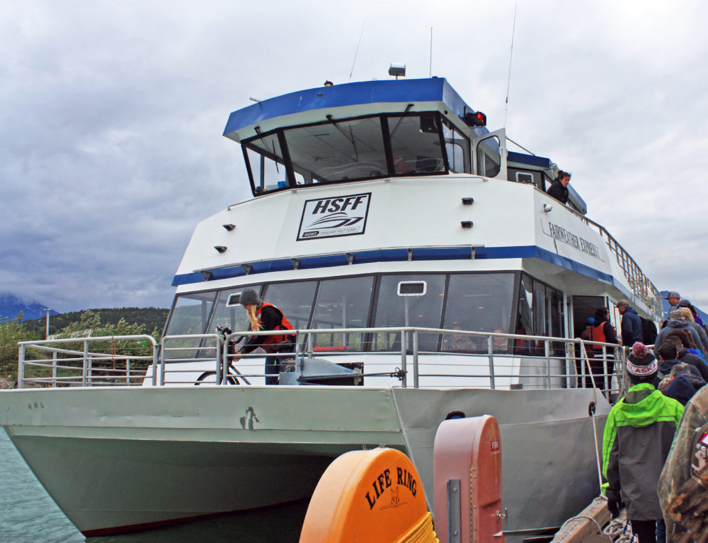
At 7:30 a.m., we were shuttled to Skagway’s small boat harbor to catch a ferry to Haines, Alaska, where we were going on an Alaska Wilderness River Adventure. We were met by a brisk, overcast morning. The sun played hide and seek as the wind blew the clouds across the sky. At 8 a.m. we boarded the Fairweather Express, a high-speed catamaran for our 45-minute trip to Haines, Alaska.

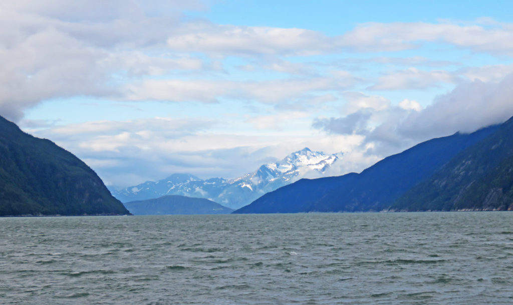
We cruised through the Taiya Inlet, a steep-walled rocky fjord just outside of Skagway and then continued south into the Lynn Canal. The canal is an inlet (not an artificial canal) into the mainland of southeast Alaska. At over 2,000 feet deep, the Lynn Canal is the deepest fjord in North America (outside Greenland) and one of the deepest and longest in the world. As we rode by waterfalls cascading over wooded, granite cliffs, sea lions basked in the sun on lichen covered rocks. Snow-covered mountains in the distance decorated the morning sky.

A young woman provided narration about the ferry and our surroundings during the trip. We both spent lots of time on the open, upper levels sightseeing and taking photos. Soon we arrived in Haines, population 2,500. The town is a little larger than Skagway but much less touristy—it’s a year-round working town, not a seasonal hot spot. It’s also the southern-most town in Alaska that’s connected directly to the continental highway system.

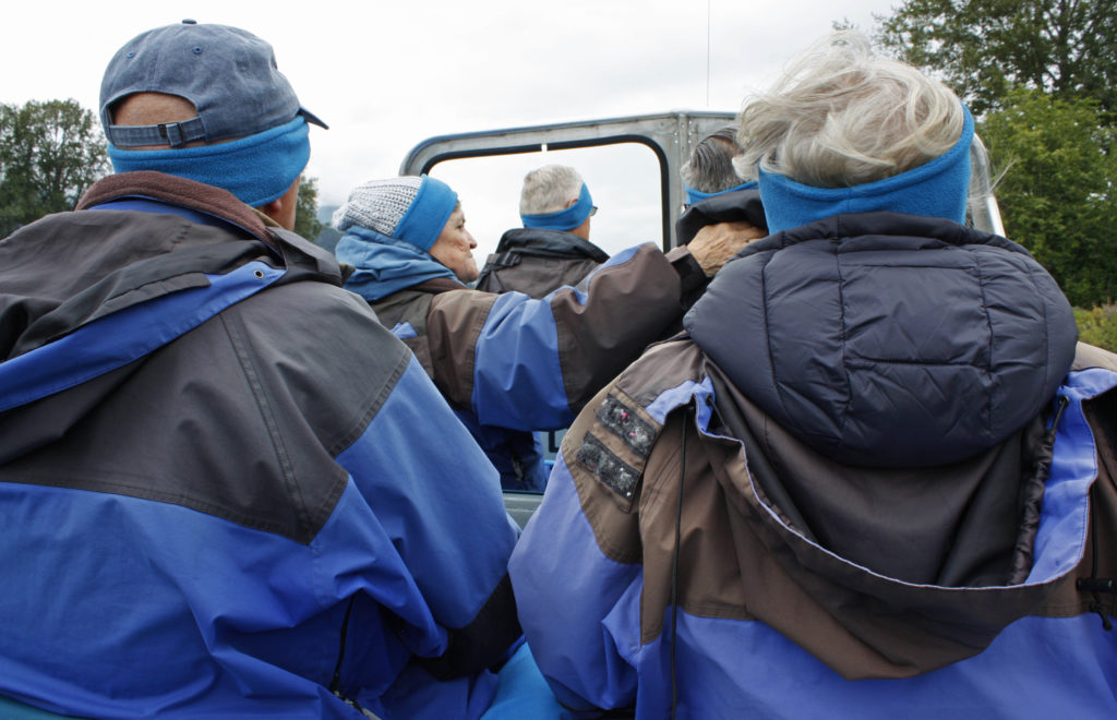
Upon arrival in Haines we boarded a bus for a thirty-minute narrated ride along the Haines Scenic Byway to our Chilkat River adventure. When we reached our destination, we were greeted by our guide and were outfitted with waterproof and windproof jackets, earmuffs, gloves and lap blankets to wrap up in just in case the weather was cool or wet.

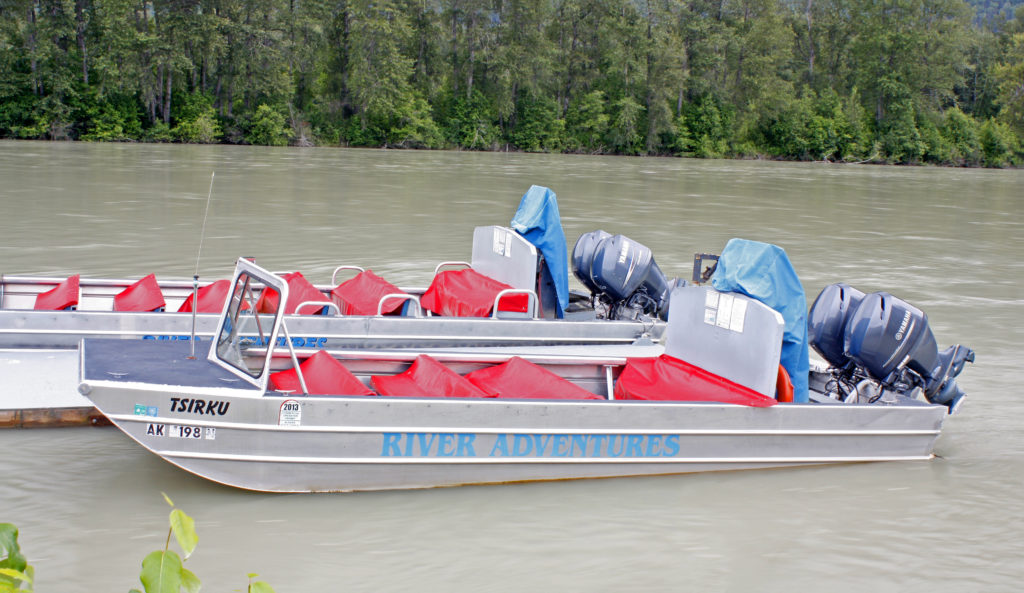
The boat was designed for shallow water and was powered by three very quiet outboard motors equipped with jet discharges instead of propellers. Kind of like a jet ski on steroids! Personally, I was especially thankful for the comfortable, cushioned bench seats. Before our guide revved up the engines we went through a safety brief. He also told us that if we fell overboard during the ride we should stand up since the water depth throughout the trip would be about waist deep.

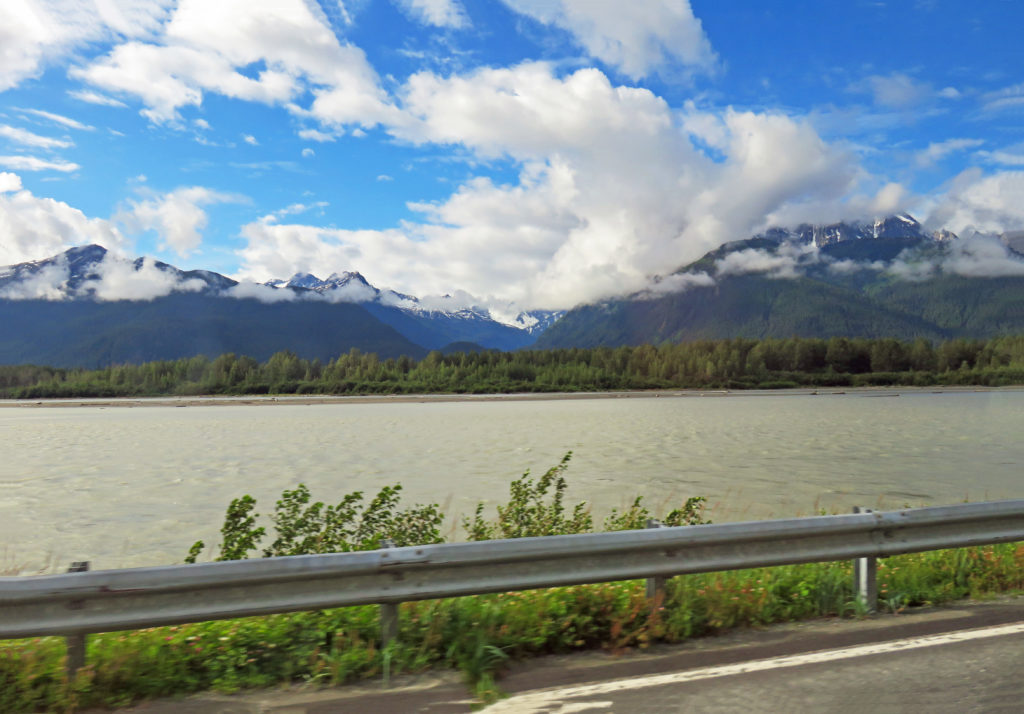
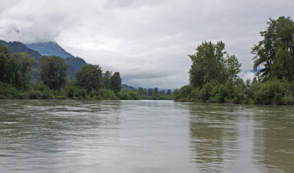
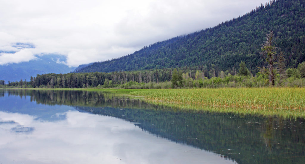
As we started out on the silt-laden Chilkat River I was ready with camera in hand to explore the vast wilderness. Along with being the shallowest navigable river in North America, the Chilkat is glacial fed and a braided river system with many different channels. Our guide took us at varying speeds for miles through the river’s twisty streams. It would have been a bone-chilling experience without all of the warm outerwear. We were constantly on the lookout for critters and occasionally stopped completely to search. About the only animals cooperating that morning were bald eagles.

Twenty miles into the wilderness we were in the Chilkat Bald Eagle Preserve, home to the largest congregation of bald eagles in the world each fall. As we motored along we saw several bald eagles flying and others perched in trees. At the furthest point in the trip we arrived in a relatively quiet area of the river a few miles from the Canadian border. We were in a part of the river where salmon spawn and could see numerous large red-colored salmon zipping through the waters beneath us.

After an hour and a half on the river it was time to return to the River Adventure dock. When we arrived, we turned in our borrowed clothing items and sat down in a heated pavilion to a very welcome lunch of hotdogs, chili, chips, dessert and hot chocolate. I thoroughly enjoyed the River Adventure tour, in fact it was one of the highlights of my Alaska trip. After our ferry ride back to Skagway it was 2 p.m.

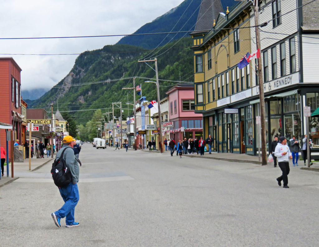
On our way back to our hotel we explored the town of Skagway, population 1,057. Like many other area towns, it was born during the great Klondike gold rush. In 1898, Skagway sprouted into a tent city of 10,000 inhabitants with over 80 saloons. Today a seven-block corridor along Broadway Street features historic false-front shops and restaurants, wooden sidewalks, and restored buildings, many of which are part of the National Park Service-managed Klondike Gold Rush National Historic Park.

Later,

Kathy


Skagway’s small boat harbor.


We get ready to board a ferry to Haines, Alaska.


Cruising through the Lynn Canal.


Snow-covered mountains in the distance decorated the morning sky.


Sea lions basked in the sun on lichen covered rocks..


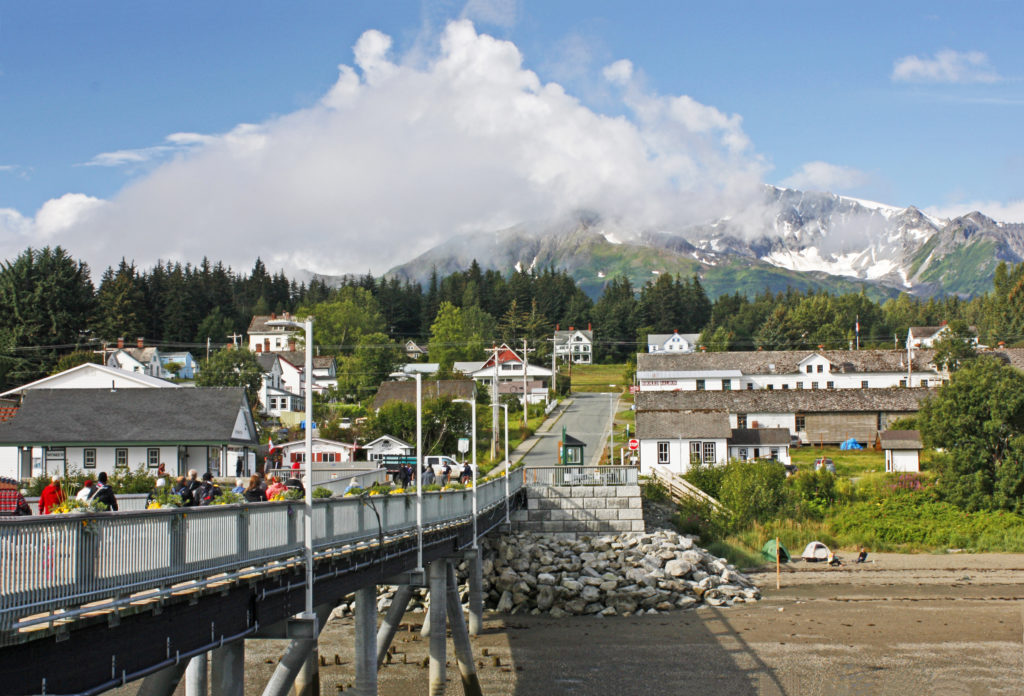
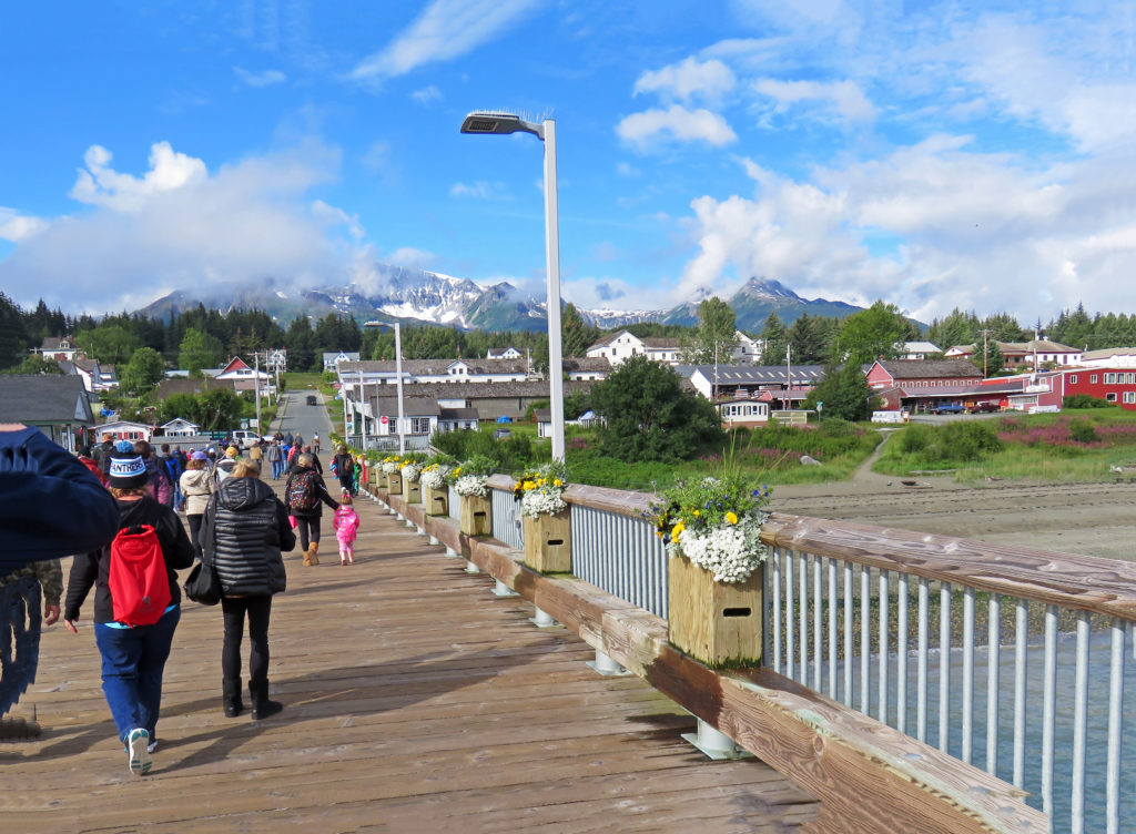
We arrive in Haines, Alaska.


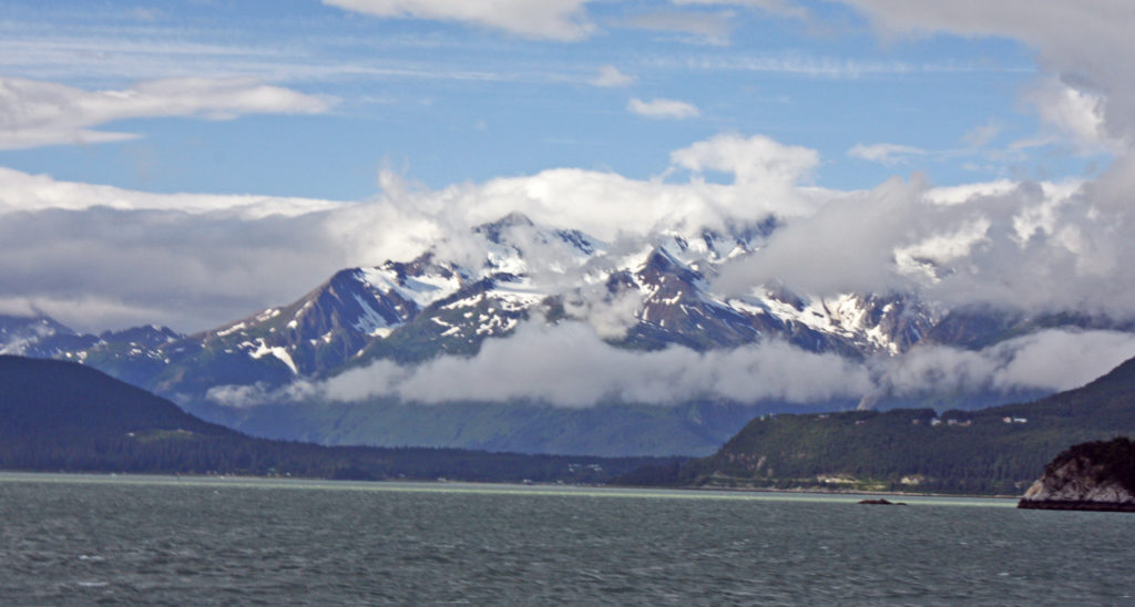
Haines, Alaska in all of its magnificent beauty.


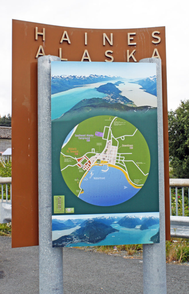
Welcome to Haines.


Our bus drives along the Haines Scenic Byway.


A wide, open air, flat-bottom river boat awaits us.


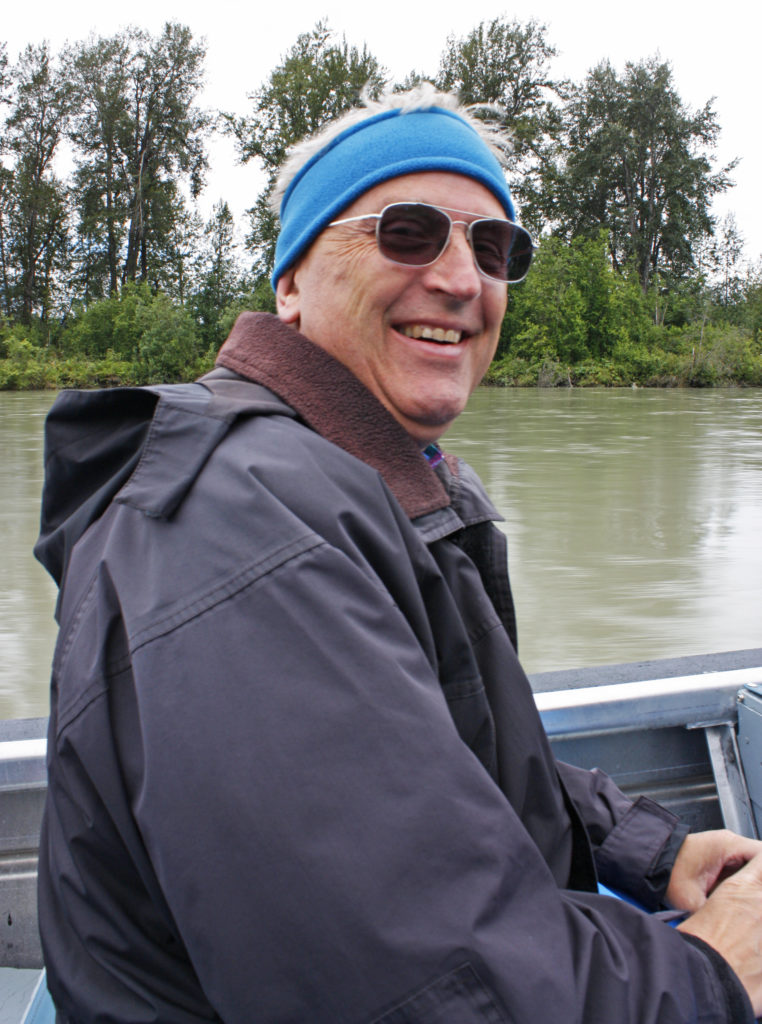
Rodge enjoying his adventure on the Chilkat River.


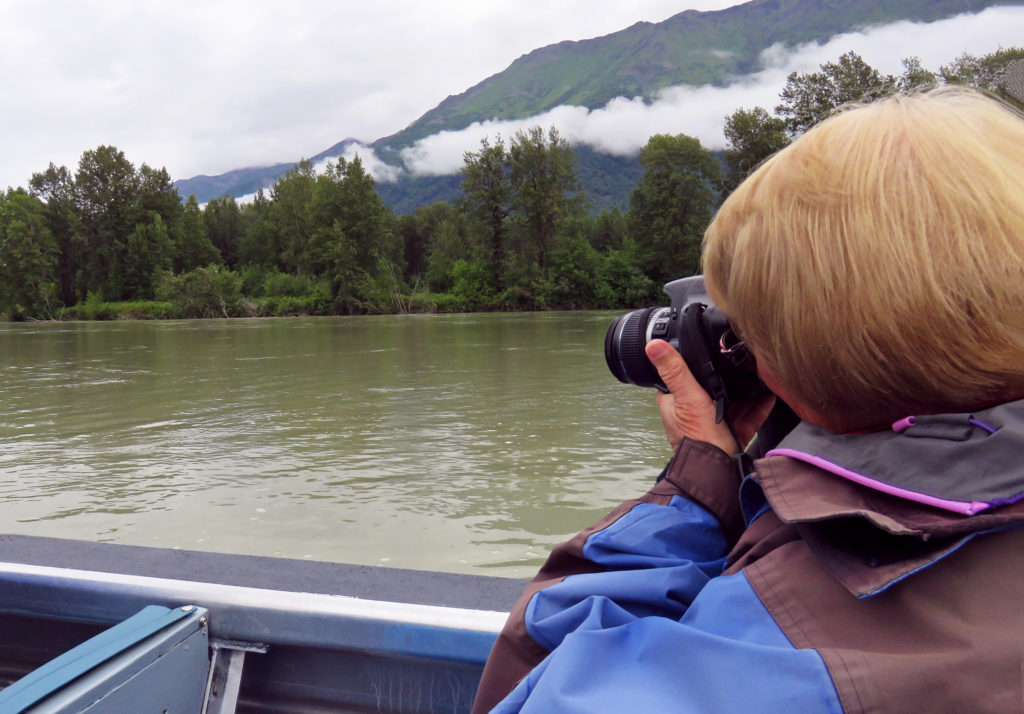
Kathy taking photos of the magnificent scenery.


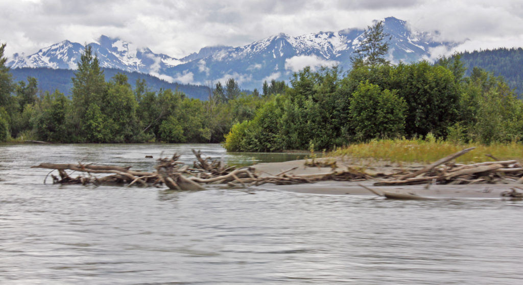
The silt-laden Chilkat River is the shallowest navigable river in North America.


The rest of our crew taking in the sights.


The surrounding landscape casts a reflection on the shallow Chilkat River.


A bald eagle hiding in a tree.


In a relatively quiet area of the river not far from the Canadian border.


Here we could see numerous red-colored salmon zipping through the waters.


Snow-covered mountains form a backdrop behind the rapidly flowing river.


A blustery day in downtown Skagway, Alaska.


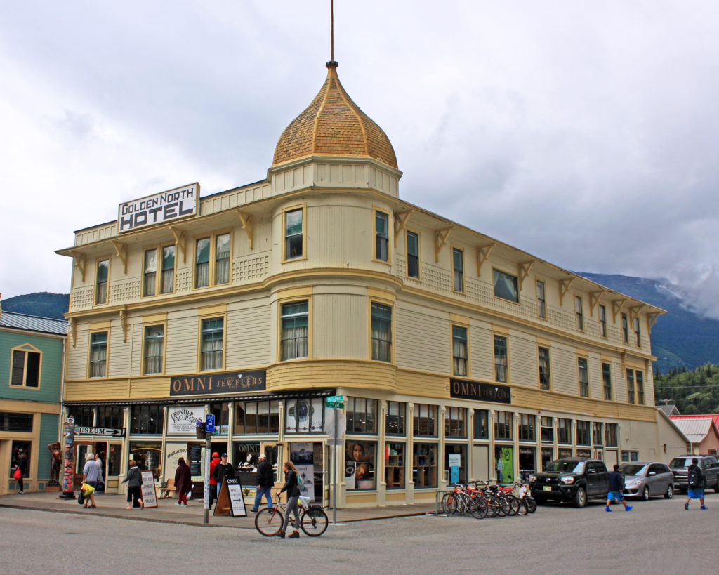
This historic hotel was built in 1898. It is the oldest operating hotel in the state.


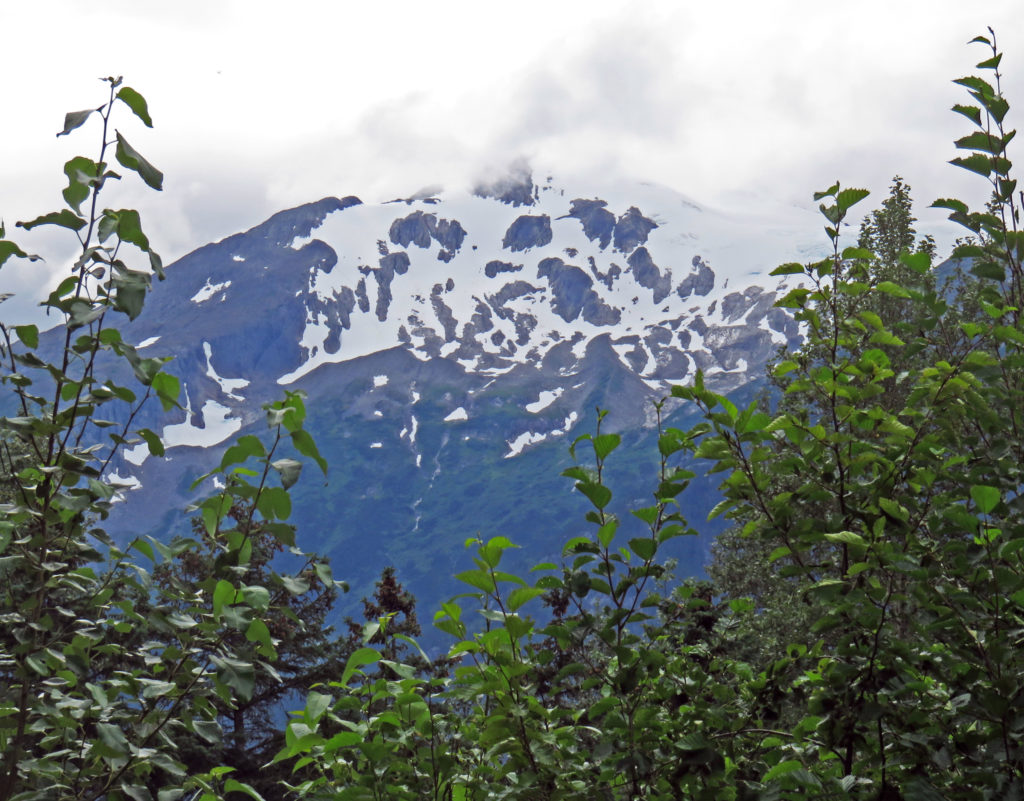
It’s snowing on the mountain overlooking Skagway!


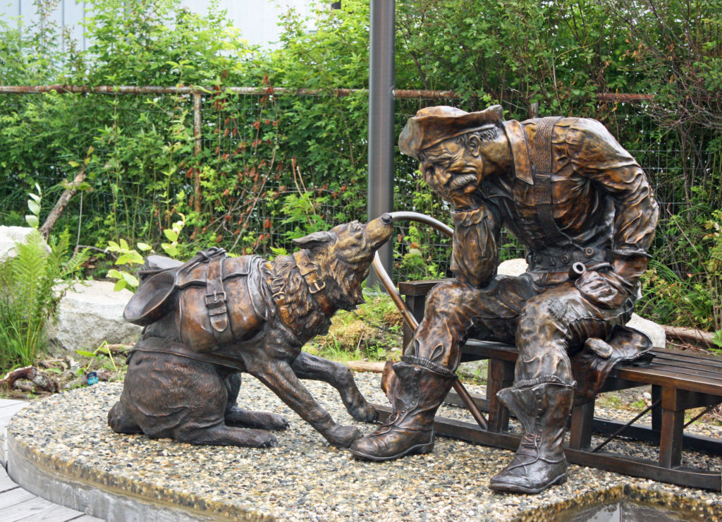
An impatient sled dog coaxes his master. “There’s gold in them there hills.”


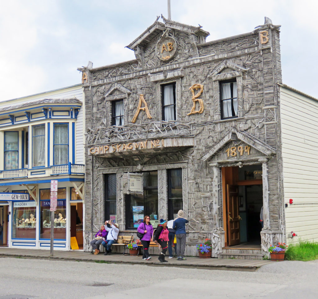
Only remaining example of early 1900’s Alaskan driftwood architechture.


Be the first to comment