Home » 2013 » August

Archive for August, 2013

We Launch Into Sitka, Alaska !

Posted August 22, 2013 By admin


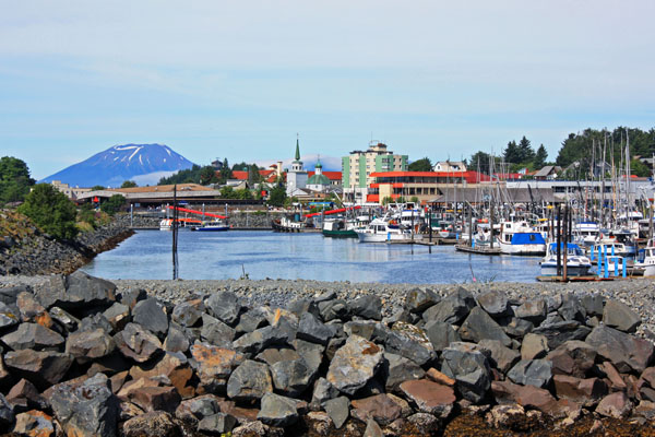
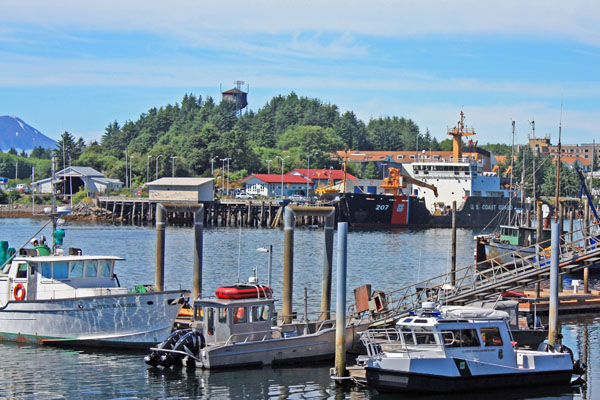
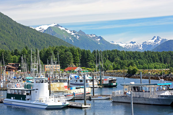
Boats float in beautiful Sitka waters.


August 22, 2013 


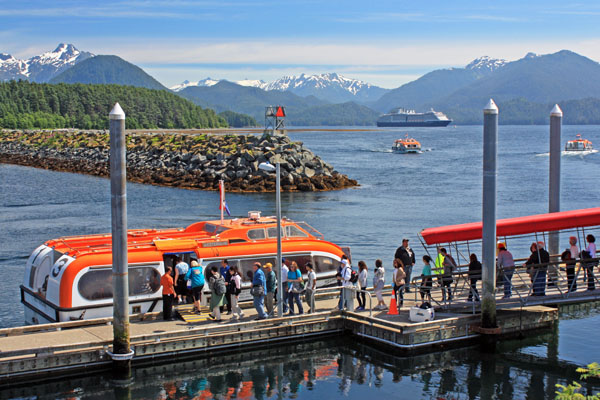
At 6:30 a.m., our cruise ship anchored in Sitka Sound. It was July 17, 2013 and a glorious seventy-degree morning. We had until 2:30 p.m. to explore the quaint town of Sitka, but first we had to board a launch and motor two miles to the docks.

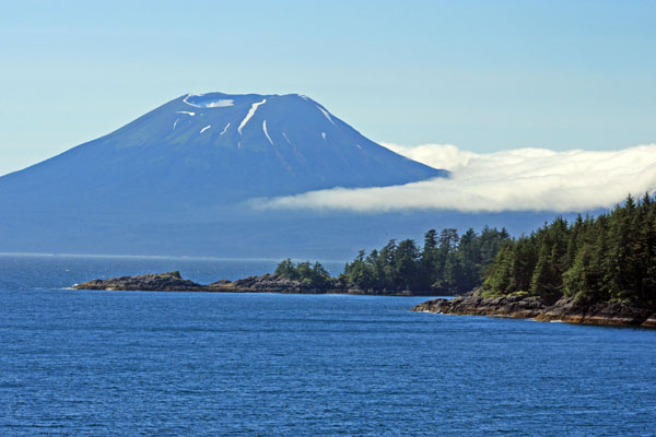
Sitka is situated on the west side of Baranoff Island and is only accessible by sea and air. This picturesque town sits just opposite Mount Edgecumbe, a dormant volcano. Sitka is surrounded by the Tongass National Forest, which provides numerous opportunities to see Alaskan wildlife. The town of 9,000 residents is primarily a fishing community but rich in Russian heritage.

The city was founded in 1799 by explorer Alexander Baranoff who was hired by the Russian-American Company to colonize the area and set up a fur trade. Sitka became the capital of the Russian Empire in Alaska and prospered by the sale of sea otter pelts. After years of success, the economy went bust because of the declining sea otter population. Eventually, Russia decided to sell Sitka and all of Alaska to the U.S. in 1867 for $7.2 million.  

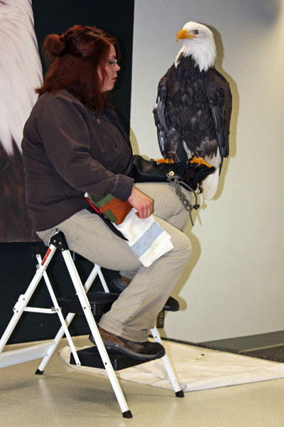
When we arrived in port, our first stop was the Alaska Raptor Center. The center is Alaska’s only full-service avian hospital and educational facility. Each year, they provide medical treatment to 100-200 injured bald eagles and other birds. Their goal is to release the birds back into the wild. Some are treated and released while others require extensive rehabilitation. Some birds become permanent residents, because even after treatment they aren’t able to survive in the wild.

While touring the center we saw over twenty resident eagles, falcons, owls, and hawks.  We met Volta, a beautiful male bald eagle who has been at the center since 1992. He was rescued after flying into a power line and is the center‘s patriarch and star of their educational program. We also met Tootsie, a Northern Saw-whet Owl. She arrived at the center with a broken left wing. She is the resident “cutie”, standing only eight inches tall and weighing three ounces. Tootsie elicits a smile from everyone she meets.

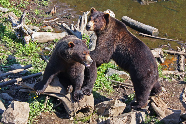
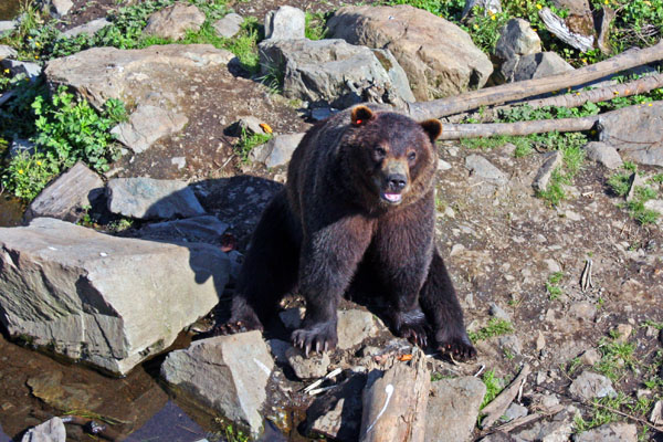
One of the highlights of our Sitka tour was visiting Fortress of the Bear, a refuge for orphaned brown bear cubs. The organization rescues cubs and raises them until they’re old enough to go to a zoo or sanctuary. If not saved they would be euthanized by the State because there is no other place to care for them and returning the cubs to the wild would result in them dying. This wonderful organization gives these foundlings a chance to live.

As we stood up above the five resident bears on a high platform, we had a great time watching them actively romp, wrestle and swim. It was wonderful to see the very playful bears enjoy their surroundings and interact with each other. It almost seemed as if they liked making us smile. Three of the bears were four-year-old siblings. The other two were brothers each weighing 1,000 pounds. The owner and staff were very knowledgeable and provided us with informative commentary. I was glad we had the opportunity to see the magnificent animals and support their fortress.

We ended the day in downtown Sitka, where we walked around the picturesque town and explored small shops and galleries. Standing in Totem Square, we had a magnificent view of Mount Edgecumbe. The square offered amazing waterfront views. Colorful fishing boats and gliding eagles captured our attention. In the distance, snow-capped mountains sparkled. We thoroughly enjoyed our Sitka experience but it was time to board a launch and head back to our ship.

Fair winds,

Kathy
 

Volta, a rescued Bald Eagle.


Tootsie, a Northern Saw-whet Owl.


Two brothers posing for the camera.


A rescued brown bear at the Fortress.


A magnificent view of Mount Edgecumbe from totem Square.


A waterfront view of colorful fishing boats.


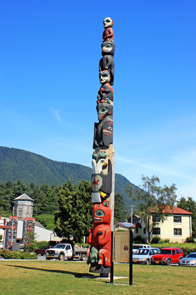
A totem pole displayed in Totem Square.


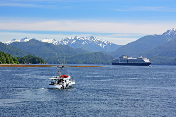
A fishing boat heading out into Sitka Sound.


Cruise passengers board a launch to motor back to their ship.


Mount Edgecumbe, a dormant volcano.


Be the first to comment

The Awe-inspiring Glacier Bay!

Posted August 12, 2013 By admin


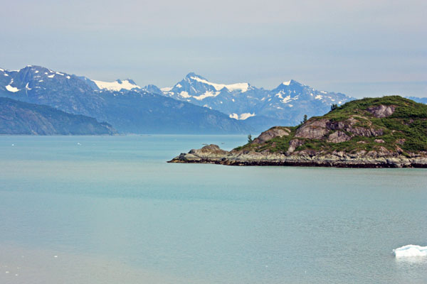
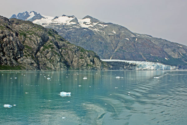
Gliding through blue-green waters in magnificent Glacier Bay.


August 12, 2013  

I awoke to another magnificent Alaskan day. The sun was out in full force and it was only 4:45 a.m. Now that’s early for me, but this time of year the sun rises at 4 a.m. and sets at 10 p.m. giving Alaskans a long summer day. I was too excited to sleep any longer because it was the day we would explore Glacier Bay.   

Glacier Bay National Monument was established in 1925 and renamed Glacier Bay National Park and Preserve in 1980. The park encompasses 3.3 million acres and Glacier Bay lies in the middle of the huge preserve. Its many inlets and fjords contain sixteen active tidewater glaciers fueled by enough snow to flow out of the mountains and down to the sea.

At 6:45 a.m., we entered Glacier Bay and a few minutes later stopped at Bartlett Cove (Park Headquarters), where two park rangers boarded the ship to spend the day as our guides. Throughout our stay in Glacier Bay, they provided informative commentary as we slowly made our way fifty-five miles north to the tidewater glaciers.

The captain opened up the bow of the ship on three levels so we could have a sweeping view of the bay. It was breezy and cold on the bow so most of us donned hats and winter parkas. Along with a warming sun, there was a coffee and hot chocolate station set up on deck to help take the chill off.

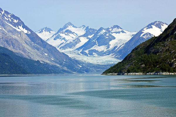
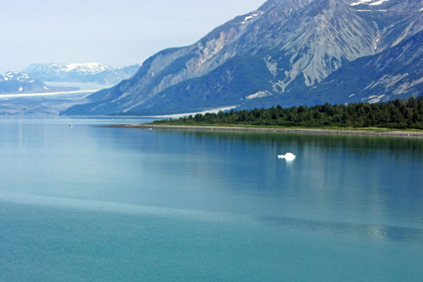
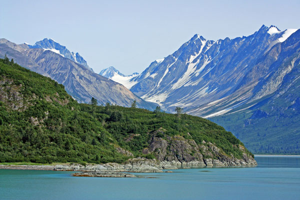
As we glided through the green-blue waters of Glacier Bay, the reflection of the ice-capped mountains in the still water lent an air of solitude and tranquility to our visit. We saw wildlife all around us. Humpback whales waved to us with their tails as they dove in and out of the water. High-soaring bald eagles glided through the air scanning for prey. At one point, I saw a bald eagle float by on an iceberg. What a cool way to cruise!

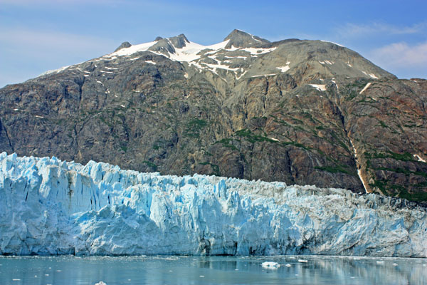
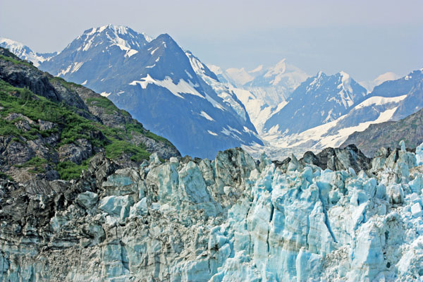
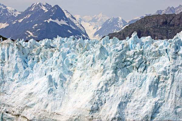
At 11:15 a.m., we arrived at the head of Tarr Inlet. Here we explored Margerie Glacier, named for the French geographer and geologist Emmanuel de Margerie who visited the Glacier Bay in 1913. Inside the inlet, calm blue-green waters were dotted with chunks of ice. The massive glacier towered 250 feet above us. The mile-wide ice flow stretched twenty-one miles from the south slope of Mount Root on the Alaska-Canada border to Tarr Inlet.

Our ship slowed and coasted within a quarter-mile of the massive ice face. Passengers lined the bow with binoculars and cameras to capture a view of the towering ice queen. Its sheer green and blue walls, smudged by black debris carried down from the mountainside, towered from the water’s surface. The jagged edges left in the top of the glacier from pieces falling away, formed intricate shapes and patterns.

The ship spent about a full hour in front of the Margerie Glacier. The captain allowed plenty of time for everyone on board to see the glacier by turning the ship slowly so that all sides faced the glacier for a considerable amount of time.

As we crowded the rails, a hush came over the ship. Suddenly, we heard a loud crack, and then a noise that sounded like a thunderclap. The silence was shattered as a chunk of ice crumbled and slowly fell into the water. Margerie Glacier was actively calving or breaking off ice chunks. As chunks continued to fall, Kittiwake gulls circled over pools of ice looking for fish.

At 1 p.m., we left Tarr Inlet and spent the rest of the afternoon cruising south through Glacier Bay. We passed by John Hopkins Inlet which is home to nine glaciers. As I looked down the inlet with all of its magnificent icy rivers, I saw snow-covered Mount Fairweather in the distance. Hanging glaciers on mountainsides glistened in the afternoon sun. Sparkling icebergs floated by in calm, icy waters. I hated to leave such a magical place.

As we cruised out of Glacier Bay, I was inspired by its rugged beauty. I was also humbled and in awe of its snow covered landscapes and icy sculptures. Only God could have created such a masterpiece. 

Fair winds,

Kathy
 

Entering awe-inspiring Glacier Bay.


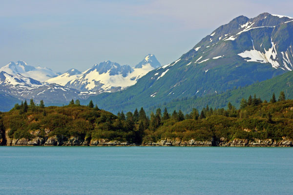
A stunning mountain landscape.


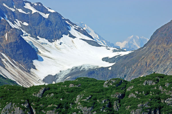
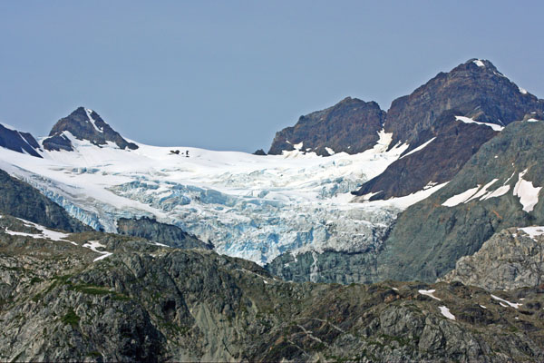
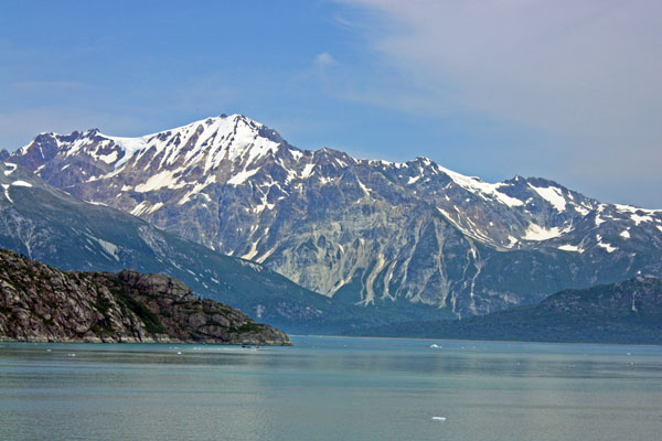
A mountain covered with a blanket of snow and ice.


A lonely iceberg floats in placid Glacier Bay.


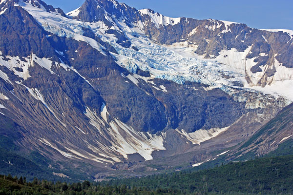
A hanging glacier sparkles in the sun.


The rugged beauty of the mountains.


Swirling glacier art.


The snout of Margerie Glacier.


Margerie Glacier towers 250 feet above us.


Up close and personal with Margerie Glacier.


Gliding slowly along, the ship leaves a gentle wake behind.


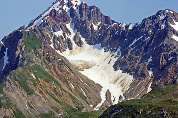
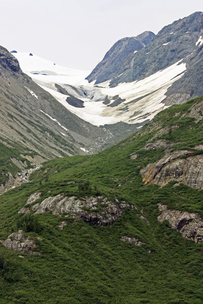
A mountainside covered with snow and moss.


A glacier on the move.


The solitude and tranquility of Glacier Bay.


Leaving humbling Glacier Bay.


Be the first to comment

Juneau On My Mind !

Posted August 7, 2013 By admin


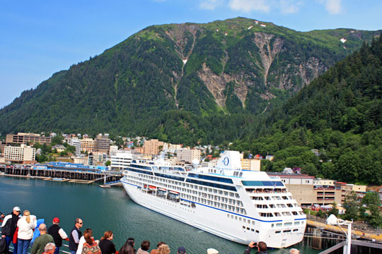
At 1 p.m. we dock in Juneau, Alaska.


August 7, 2013

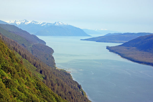
As we steamed through Gastineau Channel, surrounded by green-forested hills, the ship was bathed in late morning sun. With sixty-degree temperatures and a radiant blue-sky day, it was a glorious time to be in Alaska! We were just south of Juneau and would be docking soon.

Juneau, nestled at the base of the Coast Mountains is Alaska’s capital city with a population of over 31,000 residents. Though it is a sprawling city, the downtown area is tiny and can be walked from one end to the other in fifteen minutes. Good luck with trying to drive to Juneau. You can’t because Juneau is landlocked and only accessible by air or water.

Juneau is the only capital with a glacier in its backyard. The Mendenhall Glacier, just thirteen miles from downtown, is just one of the thirty-eight major glaciers that flow from the Juneau Icefield, an expanse of interconnected glaciers that sit behind the mountains next to Juneau. We had to check out this frozen “slip and slide” so we hopped on a tour bus.

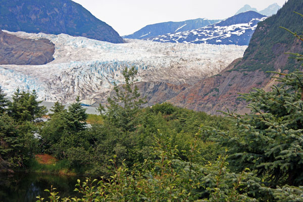
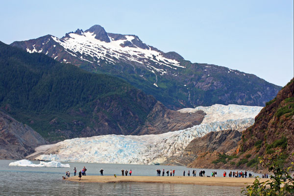
When we arrived at the Mendenhall Glacier Visitor Center, we could see a large bluish white river of ice in the distance. The view of the twelve-mile long alpine glacier, as it spilled down the valley, was truly an impressive sight. We were a mile away from it but had the opportunity to hike to its terminus at the edge of Mendenhall Lake.

When we reached the glacier, I was captivated by its immensity and blue color. The color was due to the density of the ice crystals. The compressed ice absorbed all other colors in the spectrum and reflected blue, which we see. We were able to stand on a sand bar that hugged the shore of the iceberg dotted lake, and view not only the glacier but also Nugget Falls.

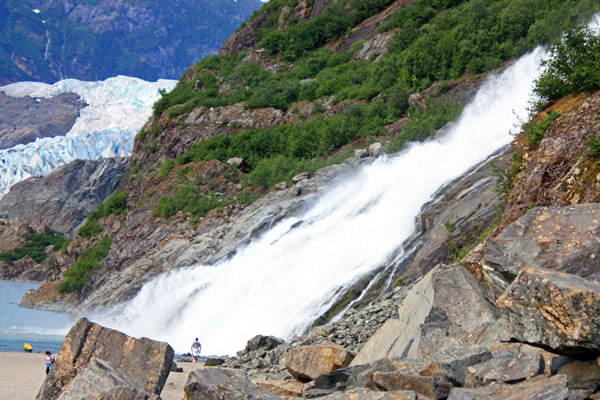
Nugget Falls, located to the east of Mendenhall glacier, drops 375 feet into Mendenhall Lake. It is fed by Nugget Creek, which in turn is fed by a Nugget glacier, a tributary glacier. As we stood admiring the view, the cold water made up of glacial snowmelt, covered us in a chilly, misty spray. Mendenhall Lake was supposed to be a great place for bear sightings, but it was time to see another Juneau wonder.

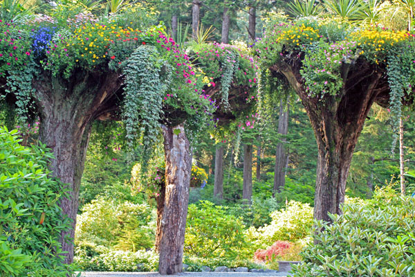
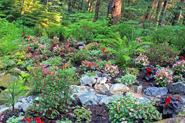
Our next stop was Glacier Garden, located seven miles from downtown Juneau. When we arrived, we were surrounded by beautiful gardens full of colorful flowers, native bushes and trees. The most unusual sight was upside down trees, known as the ‘Flower Towers’. They had their tops buried in the ground and their roots thrust up in the air, forming a basket that cradled brilliantly bright trailing flowers. Netting and mosses formed a bed in the center of the root ball for flowers such as begonias, fuchsias, and petunias to bloom. 

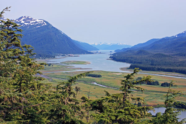
Along with touring the gardens, we had a ride up Thunder Mountain to view the riches of the Tongass National Rainforest. After navigating the rainforest, we were met with a panoramic view of the Mendenhall Valley, downtown Juneau and Taku Inlet. This was truly an unforgettable botanical garden experience.

We enjoyed a glorious day in Juneau but it was time to head back to our cruise ship.  We were once again ready to be pampered. It was time to rest up because tomorrow we would be exploring Glacier Bay.

Fair winds,

Kathy
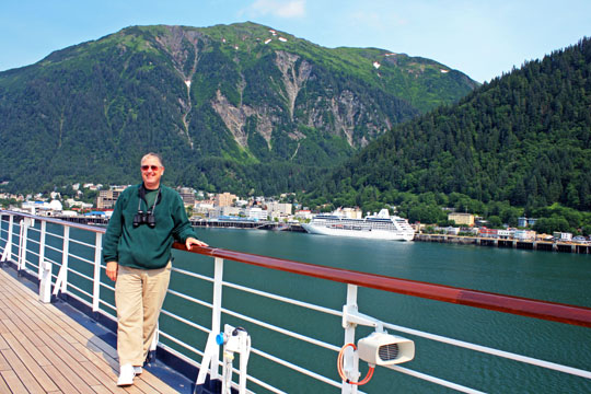
Rodge strikes a pose as we cruise into Juneau.


Mendenhall Glacier


The terminus of the glacier at the edge of Mendenhall Lake.


Mendenhall Glacier.


Nugget Falls cascades down a cliff east of Mendenhall Glacier.


‘Flower Towers’ in Glacier Garden.


Beautiful gardens full of colorful flowers in Glacier Garden.


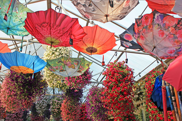
Colorful flowers and umbrellas for sale in the Glacier Garden Shop.


View from Thunder Mountain with Juneau in the distance.


A view of the Gastineau Channel from Thunder Mountain.


Be the first to comment

North To Alaska

Posted August 5, 2013 By admin


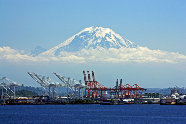
We say goodbye to Seattle and stunning Mt. Rainier.


August 5, 2013

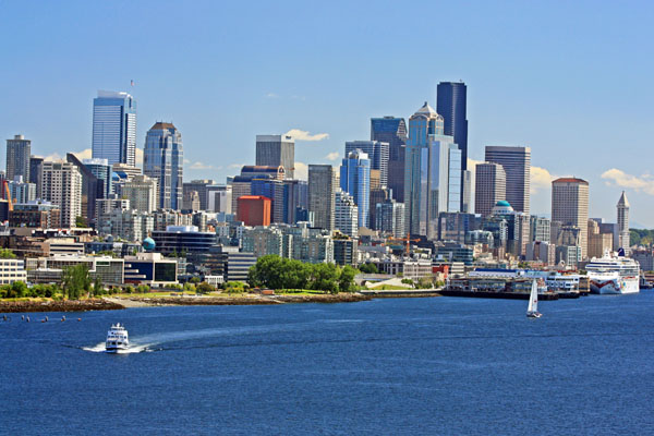
As we left Elliott Bay, Mt. Rainier, capped in glistening white powder sparkled in the sun. The Seattle skyline was decked out in all its splendor. It was a blue-sky afternoon filled with panoramic views of the snow-capped Cascade and Olympic Mountains.

My husband Rodge and I were not on two wheels but on a Holland America cruise ship. I am deviating from my normal cycling stories to write about our first northern exposure along Alaska’s Inside Passage. It was an amazing way to celebrate our 60th birthdays.

On July 13, 2013, our cruise left Seattle at 4 p.m. (PST). To get to our first and northern most port Juneau, we had to steam 1,000 miles north along the coast of Canada and the Inside Passage of Alaska. The top speed of the ship was 20 knots (or 23 mph) so it would take us over a day and a half to arrive there.

While the Captain navigated us through Puget Sound and the Strait of Juan de Fuca, we became familiar with our massive floating hotel. We were ready to be pampered! That night we acclimated to cruise life by eating our way through the Lido buffet, rocked to the onboard entertainment and ended up donning our complimentary terry robes.

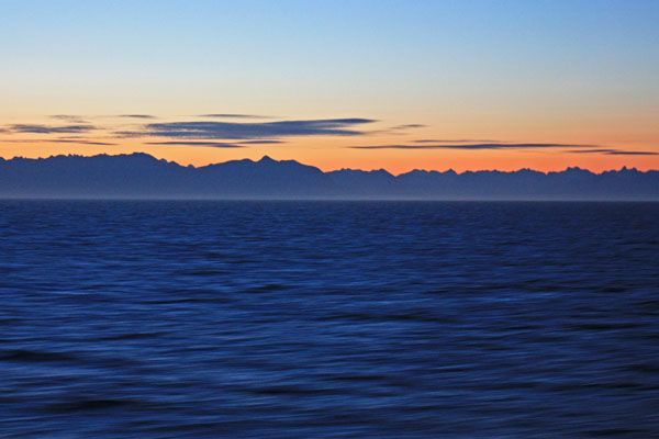
At 5:20 a.m. the next morning, I awoke to a gorgeous sunrise over Vancouver Island. I sat out on our veranda and soaked up the magnificent view as we glided through calm waters. By noon, the ship had cleared the Island and was entering Queen Charlotte Sound. The wide-open waters of the sound could be somewhat dicey especially in the winter months. As we traversed the sound that July afternoon, we were greeted by a light chop.

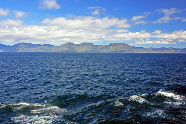
Our route took us along the western shores of Queen Charlotte Islands (now called Haida Gwaii), which consists of over 150 Islands that stretch over 186 miles long. The rugged mountainous coast with its steep rocky sides was dotted with Sitka spruce, hemlock and cedar forests. It looked like a remote and uninhabited land.

Throughout the afternoon and evening, we continued to steam along Haida Gwaii. In the early hours of the morning (July 15), we cleared the island and crossed over into Alaskan waters. When we awoke that morning, we were in the Alaska Time Zone and had to set our clocks back one hour. We had all morning to sail through Frederick Sound and up Stevens Passage until we arrived in our first port of call, Juneau.

Fair winds,

Kathy


The Seattle Skyline.


Sunrise over Vancouver Island.


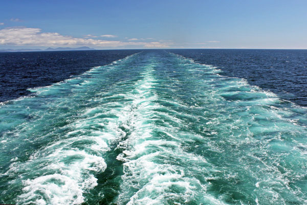
Wake art in water colors.


We cruise along the western shore of Haida Gwaii.


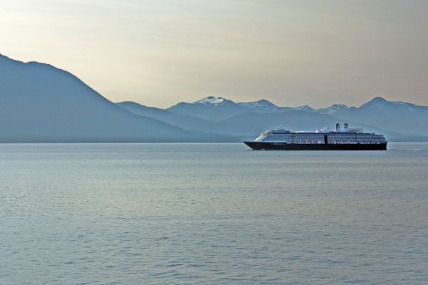
An early morning cruise ship sighting on the way to Juneau.
 

2 Comments so far. Join the Conversation